Photo: Wikipedia
Strategic Assessment of Cambria County
Meaningful friction. Expect exposure to either population pressure, blast zones, or natural disaster risk. Consider buying a retreat property.
What does the Strategic Assessment tell us?
Our Strategic Assessment grades tactical survivability of an area. Major population centers, military targets, fallout zones, natural disasters, and border exposure all drive risk — lower exposure means a more defensible position in a crisis.
This is heavily inspired by Joel Skousen's Strategic Relocation book. Highly recommended you checkout the book ($)What does this tell us?
Our Strategic Assessment grades tactical survivability of an area. Major population centers, military targets, fallout zones, natural disasters, and border exposure all drive risk — lower exposure means a more defensible position in a crisis.
This is heavily inspired by Joel Skousen's Strategic Relocation book. Highly recommended you checkout the book ($)Strategic Pillars

Key Distances
Strategic Assessment Analysis
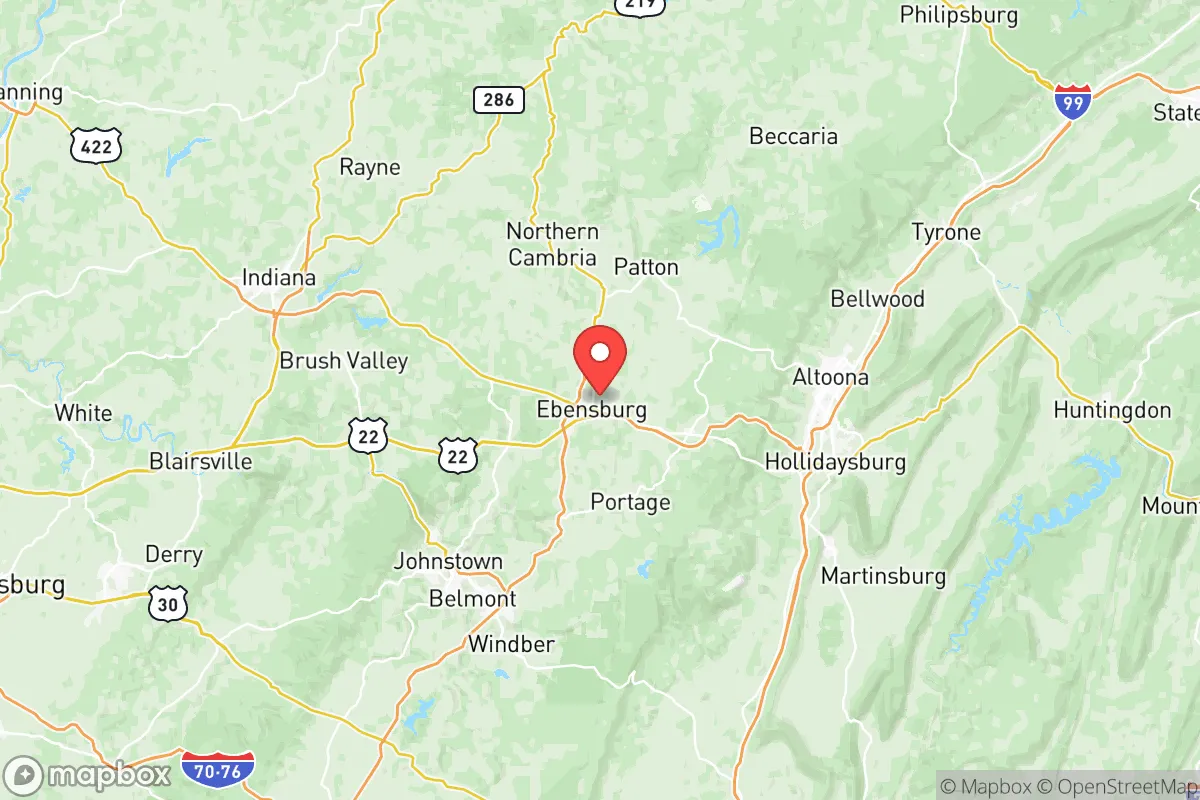
Cambria County, Pennsylvania, offers a compelling mix of geographic isolation and practical self-sufficiency that appeals to relocation-minded individuals and families prioritizing resilience. Situated in the Allegheny Plateau, the county’s rugged terrain and distance from major metropolitan centers—roughly 80 miles east of Pittsburgh and 100 miles west of Harrisburg—provide a natural buffer against both urban sprawl and the cascading effects of infrastructure failures common in densely populated corridors. The area’s historical reliance on coal and steel has left behind a network of small towns like Johnstown, Ebensburg, and Northern Cambria, each with existing infrastructure that can be adapted for long-term sustainability, while the county’s population decline (down roughly 10% since 2010) means lower competition for resources in a crisis scenario.
Geographic position and natural advantages for long-term security
Cambria County’s location in the Appalachian Mountains gives it several hard-to-replicate defensive advantages. The county sits at elevations ranging from 1,100 to over 2,600 feet, with the Laurel Highlands to the west and the Allegheny Front to the east creating natural barriers that slow movement and limit visibility. This topography makes the area less vulnerable to the blast and thermal effects of a nuclear detonation in a major city, as the mountains would absorb and deflect much of the energy. The county is also far from any known primary or secondary fallout targets—no major military bases, no nuclear power plants within 50 miles, and no significant petrochemical infrastructure. The closest potential target of note is the Pittsburgh International Airport (roughly 90 miles west), but prevailing westerly winds would carry fallout away from Cambria County in most scenarios. The region’s numerous state parks and forests, including Prince Gallitzin State Park and Gallitzin State Forest, provide vast tracts of undeveloped land for hunting, foraging, and long-term retreat. The Stonycreek River and Conemaugh River systems offer reliable surface water sources, though treatment would be necessary in a prolonged grid-down situation.
Risks, exposures, and proximity to fallout-relevant landmarks
While Cambria County is relatively insulated from direct nuclear targeting, it is not without risks. The county’s industrial legacy means there are several Superfund sites and abandoned coal mines that could pose contamination hazards if infrastructure collapses. The Johnstown area, in particular, has a history of flooding—the 1889 Johnstown Flood remains a cautionary tale, and the city’s location in a narrow valley below the Conemaugh River Dam means that a dam failure or intentional breach could inundate low-lying areas. The county is also within 100 miles of the Beaver Valley Nuclear Power Station (Shippingport, PA) and the Three Mile Island site (now decommissioned but still storing spent fuel), though prevailing winds and distance reduce the likelihood of direct fallout exposure. More practically, the county’s proximity to the Pennsylvania Turnpike (I-76) and U.S. Route 22 means that in a major evacuation scenario, the area could see significant refugee traffic from the Pittsburgh and Philadelphia metros. The county’s only major airport, the Johnstown-Cambria County Airport (JST), is a small regional facility with limited capacity, so air evacuation or resupply would be constrained. For a relocator, the key risk is not a direct strike but rather the secondary effects of societal disruption—supply chain collapse, refugee influx, and potential civil unrest in nearby urban centers like Altoona (30 miles east) and State College (50 miles northeast).
Practical resilience for a relocator: food, water, energy, and defensibility
Cambria County scores well on practical self-sufficiency metrics. The county has a strong agricultural base, with over 1,200 farms producing hay, corn, and livestock, and the local Amish and Mennonite communities in areas like Nanty Glo and Portage offer a ready-made network of traditional farming skills. The county’s water resources are abundant: the Stonycreek and Conemaugh rivers, plus numerous smaller creeks and springs, provide year-round surface water, and the region’s average annual rainfall of 40 inches ensures reliable recharge. However, groundwater quality varies due to historical mining, so well testing and filtration are essential. For energy, the county sits atop the Marcellus Shale formation, with natural gas wells scattered throughout—though individual access to gas is limited without a lease, the presence of local drilling infrastructure means that propane and natural gas supplies are more readily available than in many rural areas. The county also has a legacy of coal-fired power plants, including the now-closed Homer City Generating Station, but the grid remains connected to the PJM Interconnection, so grid-down scenarios would require backup generation. Defensibility is a mixed picture: the mountainous terrain and low population density (roughly 130 people per square mile) make it easier to secure a homestead, but the county’s many hollows and valleys create choke points that could be exploited by organized groups. The local law enforcement presence is thin—the Cambria County Sheriff’s Office and Pennsylvania State Police cover a large area, so response times in rural zones can exceed 30 minutes. For a relocator, the best strategy is to choose a property on a ridgetop with good visibility and limited access points, ideally near a reliable water source and within walking distance of state forest land.
The overall strategic picture for Cambria County is one of moderate resilience with clear trade-offs. The area’s isolation and topography provide genuine protection from the most catastrophic scenarios, and its existing agricultural and water resources support long-term self-sufficiency. However, the county’s industrial past and flood-prone valleys introduce localized risks that require careful site selection. For a relocator who values distance from targets, access to natural resources, and a community with a surviving tradition of self-reliance, Cambria County is a solid choice—but not without homework. The key is to avoid the flood zones around Johnstown, secure a defensible ridgetop property, and build relationships with the local farming community before a crisis hits. The county won’t be a fortress, but it offers a realistic foundation for a resilient lifestyle in an uncertain future.

* Values derived from national, state, county, city and local statistics and may differ in a specific area. Last updated: 2026-07-09T07:46:54.000Z
Narrative content on this page is AI-generated and may contain mistakes. Verify any details that matter before acting on them.
ReloMaps may earn a commission from affiliate links at no extra cost to you.

