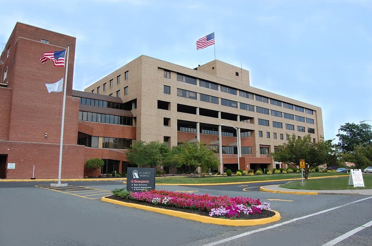
Photo: Wikipedia
Strategic Assessment of Passaic, NJ
High tactical risk. This location is likely close to major population centers, strategic targets, or sits in a high-disaster corridor. A retreat property and careful exit planning is required.
What does the Strategic Assessment tell us?
Our Strategic Assessment grades tactical survivability of an area. Major population centers, military targets, fallout zones, natural disasters, and border exposure all drive risk — lower exposure means a more defensible position in a crisis.
This is heavily inspired by Joel Skousen's Strategic Relocation book. Highly recommended you checkout the book ($)What does this tell us?
Our Strategic Assessment grades tactical survivability of an area. Major population centers, military targets, fallout zones, natural disasters, and border exposure all drive risk — lower exposure means a more defensible position in a crisis.
This is heavily inspired by Joel Skousen's Strategic Relocation book. Highly recommended you checkout the book ($)Strategic Pillars

Key Distances
Regional Safe Places
Below is our recommended "safe zones" in New Jersey and the surrounding area based on our strategic heuristics. For most people, it's unrealistic to live in a “safe zone” full-time due to work, family or other personal reasons. They tend to be more rural. However, many of these areas are perfect for second homes and retreat properties that double as a vacation home or even a short-term rental.




Important Note: For informational purposes only. This does not mean nothing bad ever happens in the green zones. Please use common sense. This is based on public data and modeled with AI. We tried to take a conservative approach but mistakes happen. We update this regularly as new information becomes available.
Solar Generator Recommendations
Backup power matters more here than in safer locations. We've picked three solar generators across budgets and capacity tiers — start with the budget unit if you only need a few essentials, or step up if you want to run a fridge and HVAC for days at a time.

Jackery Portable Power Station Explorer 300
Budget OptionPower on the Go: Weighing only 11 lbs, it's convenient to set up and store with book-sized foldable solar panels

BLUETTI Portable Power Station AC180
Designed for both indoor and outdoor scenarios, AC180 is highly capable as it has a robost capacity and continuous output power.

EF ECOFLOW DELTA Pro Ultra Power Station
Upgraded PickEcoFlow DELTA Pro Ultra is a whole-home energy system designed to grow with your family. Integrated with the Smart Home Panel 2, it scales to meet your evolving energy needs — keeping your home powered, intelligent, and secure through every stage of life.
We earn a commission, at no additional cost to you.
Strategic Assessment Analysis
Passaic, New Jersey, presents a complex strategic picture for the relocation-minded reader focused on resilience and self-sufficiency. While its location within the New York metropolitan area offers certain logistical advantages, its dense urban character, industrial history, and proximity to high-value targets create significant vulnerabilities that a conservative-leaning family or individual must weigh carefully. The city’s true resilience lies not in its natural defenses, but in its potential as a staging ground for those who understand the risks and plan accordingly.
Geographic position and natural advantages for a strategic relocation
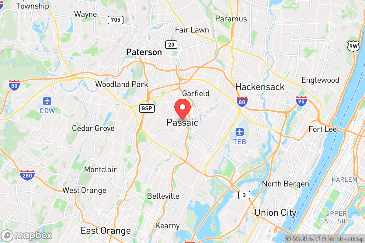
Passaic sits on the Passaic River in northeastern New Jersey, roughly 10 miles from Manhattan and 15 miles from Newark. Its position within the Passaic River Valley provides a few notable geographic features. The river itself is a reliable water source, though its industrial history means any surface water requires heavy filtration and treatment before use. The surrounding terrain is mostly flat, with the Watchung Mountains rising about 10 miles to the west, offering potential high-ground retreat options for those willing to drive. The city’s elevation averages around 30 feet above sea level, which is low but not flood-prone in the way that coastal towns are. The area receives about 47 inches of rain annually, supporting local agriculture within a 20-30 mile radius, particularly in the more rural parts of Bergen and Passaic counties. For a relocator, the key natural advantage is access to the river and proximity to the New Jersey Highlands, a region with significant forest cover and groundwater reserves. However, the city itself is densely built-up, with little open space for gardening or livestock, meaning self-sufficiency within city limits is extremely limited. The strategic value of Passaic is less about its own natural assets and more about its position as a base for accessing the broader region’s resources—provided one has the means to travel.
Risks, exposures, and proximity to fallout-relevant landmarks
Passaic’s greatest vulnerability is its location within the New York City metropolitan area, a region that is a prime target for any number of man-made or natural disaster scenarios. The city is within the blast and fallout radius of several high-value targets: Manhattan’s financial district, Newark Liberty International Airport, the Port Newark-Elizabeth marine terminal, and the numerous chemical and refining facilities along the New Jersey Turnpike corridor. The presence of the Passaic River also means that any upstream dam failure or contamination event—such as a release from the many Superfund sites in the region—could directly impact the city’s water supply. The area is also subject to nor’easters and occasional hurricane remnants, which can cause flooding in low-lying neighborhoods near the river. Crime rates in Passaic are above the national average, with a violent crime rate roughly double the U.S. average, which adds a day-to-day security concern for families. For the resilience-minded relocator, the concentration of population (over 70,000 people in just 3.2 square miles) creates a scenario where any major disruption—power outage, supply chain break, or evacuation order—would lead to rapid resource depletion and potential civil unrest. The city’s proximity to major highways (Routes 21, 46, and the Garden State Parkway) is a double-edged sword: it allows for quick evacuation but also funnels traffic from a massive population base, creating choke points. In short, Passaic is not a defensible location in a crisis; it is a place to be from rather than a place to be.
Practical resilience for a relocator: food, water, energy, and defensibility
For a relocator considering Passaic as a base, practical resilience requires a clear-eyed assessment of what the city offers and what it does not. Food security is poor within city limits. There are no significant community gardens or farms, and the few grocery stores are typical urban markets with thin supply chains. A family would need to rely on stockpiling or regular trips to suburban supermarkets in Clifton or Nutley, which themselves could be overwhelmed in a crisis. Water security is a major concern. The city’s water comes from the Passaic Valley Water Commission, which draws from the Passaic River—a source with known industrial pollution issues. In a grid-down scenario, the treatment plant would likely fail, and the river water would require boiling, chemical treatment, or advanced filtration to be safe. A well is not an option in this dense urban environment. Energy resilience is limited. The grid is typical of an older Northeastern city, with overhead lines vulnerable to storms and no widespread solar adoption. Natural gas is common for heating, but a prolonged outage would leave residents without heat in winter. Backup generators are feasible only for those with private homes or apartments with balcony space, which is rare. Defensibility is the weakest point. Passaic’s dense, multi-family housing stock—much of it attached rowhomes and apartment buildings—offers little in the way of secure perimeter or escape routes. The street grid is tight, and the population density means that any attempt to secure a single home would be easily observed and potentially challenged. For a family, the best practical approach is to treat Passaic as a temporary residence or a base for commuting to a more defensible rural property within a 30- to 60-minute drive, such as in Sussex County or the Pocono region of Pennsylvania. The city’s real value is as a place to maintain a low profile and access urban job markets while building out a more resilient setup elsewhere.
The overall strategic picture for Passaic is one of calculated trade-offs. It offers proximity to the economic engine of the Northeast, but at the cost of significant exposure to both natural and man-made risks. For a single individual or family with a conservative, self-reliant mindset, the city is best viewed as a stepping stone rather than a final destination. Its dense urban fabric and industrial legacy make it a poor candidate for long-term self-sufficiency, but its location within a region rich in natural resources—if one has the means to reach them—provides a strategic buffer. The key is to avoid complacency: Passaic demands a higher level of preparedness than a rural or suburban location, including robust stockpiles, a clear evacuation plan, and a secondary property or bug-out location within a two-hour drive. For those willing to put in the work, it can serve as a functional base in normal times, but it is not a place to ride out a major crisis. The smart move is to use Passaic for what it offers—jobs, infrastructure, and anonymity—while building resilience elsewhere.

* Values derived from national, state, county, city and local statistics and may differ in a specific area. Last updated: 2026-06-14T02:06:34.000Z
Narrative content on this page is AI-generated and may contain mistakes. Verify any details that matter before acting on them.
ReloMaps may earn a commission from affiliate links at no extra cost to you.

