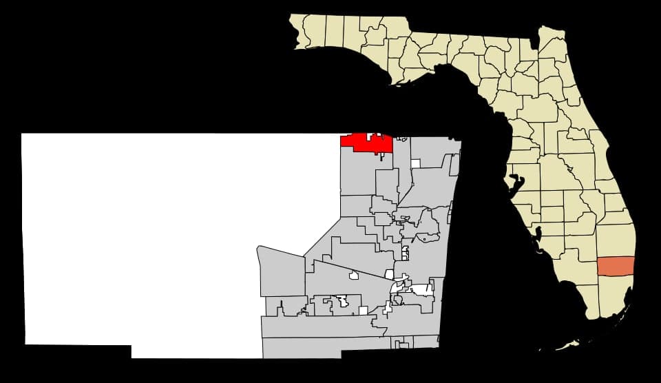
Photo: Wikipedia
Strategic Assessment of Parkland, FL
Meaningful friction. Expect exposure to either population pressure, blast zones, or natural disaster risk. Consider buying a retreat property.
What does the Strategic Assessment tell us?
Our Strategic Assessment grades tactical survivability of an area. Major population centers, military targets, fallout zones, natural disasters, and border exposure all drive risk — lower exposure means a more defensible position in a crisis.
This is heavily inspired by Joel Skousen's Strategic Relocation book. Highly recommended you checkout the book ($)What does this tell us?
Our Strategic Assessment grades tactical survivability of an area. Major population centers, military targets, fallout zones, natural disasters, and border exposure all drive risk — lower exposure means a more defensible position in a crisis.
This is heavily inspired by Joel Skousen's Strategic Relocation book. Highly recommended you checkout the book ($)Strategic Pillars

Key Distances
Regional Safe Places
Below is our recommended "safe zones" in Florida and the surrounding area based on our strategic heuristics. For most people, it's unrealistic to live in a “safe zone” full-time due to work, family or other personal reasons. They tend to be more rural. However, many of these areas are perfect for second homes and retreat properties that double as a vacation home or even a short-term rental.

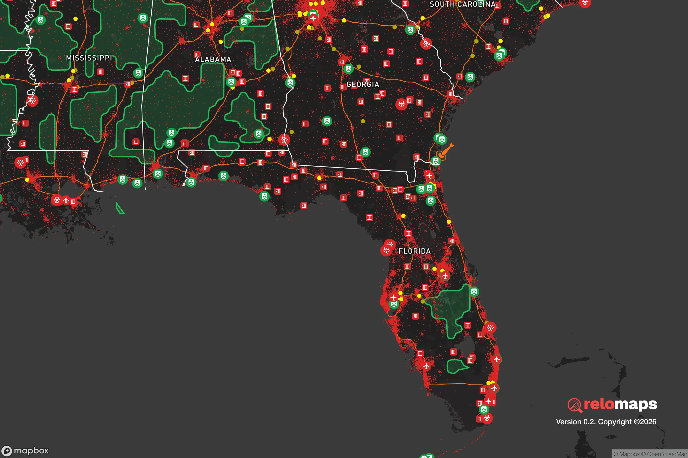


Important Note: For informational purposes only. This does not mean nothing bad ever happens in the green zones. Please use common sense. This is based on public data and modeled with AI. We tried to take a conservative approach but mistakes happen. We update this regularly as new information becomes available.
Solar Generator Recommendations
Backup power matters more here than in safer locations. We've picked three solar generators across budgets and capacity tiers — start with the budget unit if you only need a few essentials, or step up if you want to run a fridge and HVAC for days at a time.

Jackery Portable Power Station Explorer 300
Budget OptionPower on the Go: Weighing only 11 lbs, it's convenient to set up and store with book-sized foldable solar panels

BLUETTI Portable Power Station AC180
Designed for both indoor and outdoor scenarios, AC180 is highly capable as it has a robost capacity and continuous output power.

EF ECOFLOW DELTA Pro Ultra Power Station
Upgraded PickEcoFlow DELTA Pro Ultra is a whole-home energy system designed to grow with your family. Integrated with the Smart Home Panel 2, it scales to meet your evolving energy needs — keeping your home powered, intelligent, and secure through every stage of life.
We earn a commission, at no additional cost to you.
Strategic Assessment Analysis
Parkland, Florida, presents a mixed strategic picture for the relocation-minded reader focused on resilience and self-sufficiency. While its location in northwest Broward County offers some natural advantages—namely, higher elevation and distance from the immediate coastline—its position within the densely populated South Florida metroplex introduces significant vulnerabilities that a serious preparedness-minded individual must weigh. The city’s post-2018 identity is defined by a community that has demonstrated remarkable resilience in the face of tragedy, but that emotional strength does not automatically translate to physical or logistical preparedness for large-scale disasters or societal disruptions.
Geographic position and natural advantages for disaster readiness
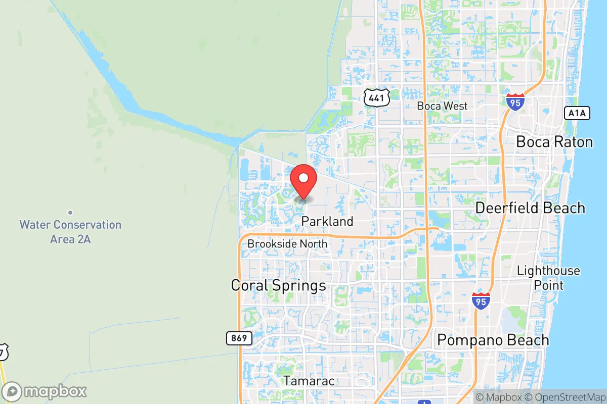
Parkland sits on the western edge of Broward County, roughly 12 miles inland from the Atlantic Ocean, placing it in a relatively advantageous position compared to coastal cities like Fort Lauderdale or Pompano Beach. The area’s elevation averages around 15 to 20 feet above sea level, which is notably higher than much of South Florida’s coastal and Everglades-adjacent terrain. This elevation reduces—but does not eliminate—the risk of storm surge during hurricanes, a primary threat for coastal communities. The city is also bordered by the Cypress Creek and Hillsboro Canal systems, which provide natural drainage but also create floodplain zones that require attention. For a relocator, the key natural advantage is that Parkland is less likely to experience the catastrophic flooding that can devastate barrier islands and low-lying coastal neighborhoods during a major hurricane. The city’s tree canopy, while aesthetically pleasing, does present a windborne debris risk during storms, so property hardening is a practical consideration. The proximity to the Everglades to the west offers a buffer of undeveloped land, but that same wilderness introduces wildlife and fire risks that are less common in fully urbanized areas.
Risks, exposures, and proximity to fallout-relevant landmarks
The most significant strategic drawback for Parkland is its location within the South Florida metropolitan area, a region of roughly 6 million people. In a scenario involving a major natural disaster, pandemic, or societal disruption, being near a large population center amplifies risks related to supply chain disruption, civil unrest, and resource competition. The city is approximately 30 miles from Fort Lauderdale-Hollywood International Airport and 40 miles from Miami International Airport—both potential targets or chokepoints in a national emergency. Additionally, Parkland is within 20 miles of Port Everglades, one of the busiest cargo and cruise ports in the United States, which could become a focal point for evacuation or security operations. For the reader concerned about man-made risks, the proximity to the Turkey Point Nuclear Generating Station (about 45 miles south) is a relevant consideration. While not immediately adjacent, a major incident at Turkey Point could affect windborne fallout patterns depending on prevailing winds, which in South Florida typically blow from east to west. The city is also within 10 miles of the Sawgrass Expressway and I-95 corridors, which are likely evacuation routes that could become gridlocked during a crisis. For a relocator prioritizing strategic depth, Parkland’s position within a dense urban corridor is a clear negative, as it lacks the geographic isolation that would provide a buffer against cascading regional failures.
Practical resilience for a relocator: food, water, energy, and defensibility
For the individual or family looking to establish a self-sufficient household, Parkland presents both opportunities and constraints. The city’s residential lots are generally larger than those in older coastal suburbs—many homes sit on quarter-acre to half-acre plots—which provides space for backyard gardening, rainwater collection, and small-scale livestock (subject to HOA and city regulations). The city’s water supply comes from the Biscayne Aquifer, a shallow, porous freshwater source that is vulnerable to saltwater intrusion during droughts and over-pumping, but which generally provides reliable municipal water. For off-grid capability, a private well is feasible in some areas, though permitting and depth requirements vary. Energy resilience is a mixed picture: Florida Power & Light (FPL) serves the area, and the grid is prone to outages during hurricane season, with restoration times ranging from hours to weeks depending on storm severity. Solar panel adoption is growing, but HOA restrictions in some Parkland communities can limit installation. Natural gas is available in many neighborhoods, which can power generators and cooking during outages. Defensibility is a significant concern. Parkland is a suburban community with multiple entry points via major roads (e.g., State Road 7, Loxahatchee Road, and Holmberg Road). The city has its own police department, but during a widespread emergency, law enforcement resources would likely be stretched thin. The community’s layout—curving roads, cul-de-sacs, and gated subdivisions—offers some natural chokepoints, but the overall density and lack of rural buffer make it difficult to secure a perimeter. For the relocator serious about self-sufficiency, Parkland’s practical resilience is moderate: it is possible to build a prepared household, but the surrounding urban environment limits the ability to control access to resources or maintain long-term isolation.
The overall strategic picture for Parkland is one of trade-offs. The city offers a genuine advantage in elevation and storm surge protection compared to coastal alternatives, and its post-2018 community cohesion is a real asset for mutual aid and neighborhood-level preparedness. However, its location within the South Florida megalopolis introduces exposure to population-density risks, infrastructure vulnerabilities, and proximity to high-value targets that a strategic relocator cannot ignore. For the reader who values a strong sense of community and is willing to invest in property hardening, backup power, and water storage, Parkland can be a viable base—provided they accept that true self-sufficiency will require active preparation rather than passive geographic luck. For those seeking isolation and minimal exposure to urban risks, the area is not a strong fit. The decision ultimately hinges on whether the benefits of a resilient, well-organized suburban community outweigh the inherent vulnerabilities of being embedded in one of America’s most densely populated regions.

* Values derived from national, state, county, city and local statistics and may differ in a specific area. Last updated: 2026-09-25T12:50:22.000Z
Narrative content on this page is AI-generated and may contain mistakes. Verify any details that matter before acting on them.
ReloMaps may earn a commission from affiliate links at no extra cost to you.

