Photo: Wikipedia
Demographics of Parkland, FL
Affluence Level in Parkland, FL
A wealthy area with high-earning, well-educated households. Incomes, home values, and educational attainment meaningfully outpace national averages.
People of Parkland, FL
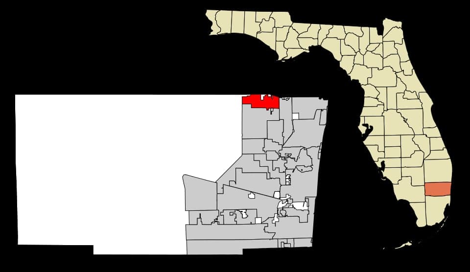
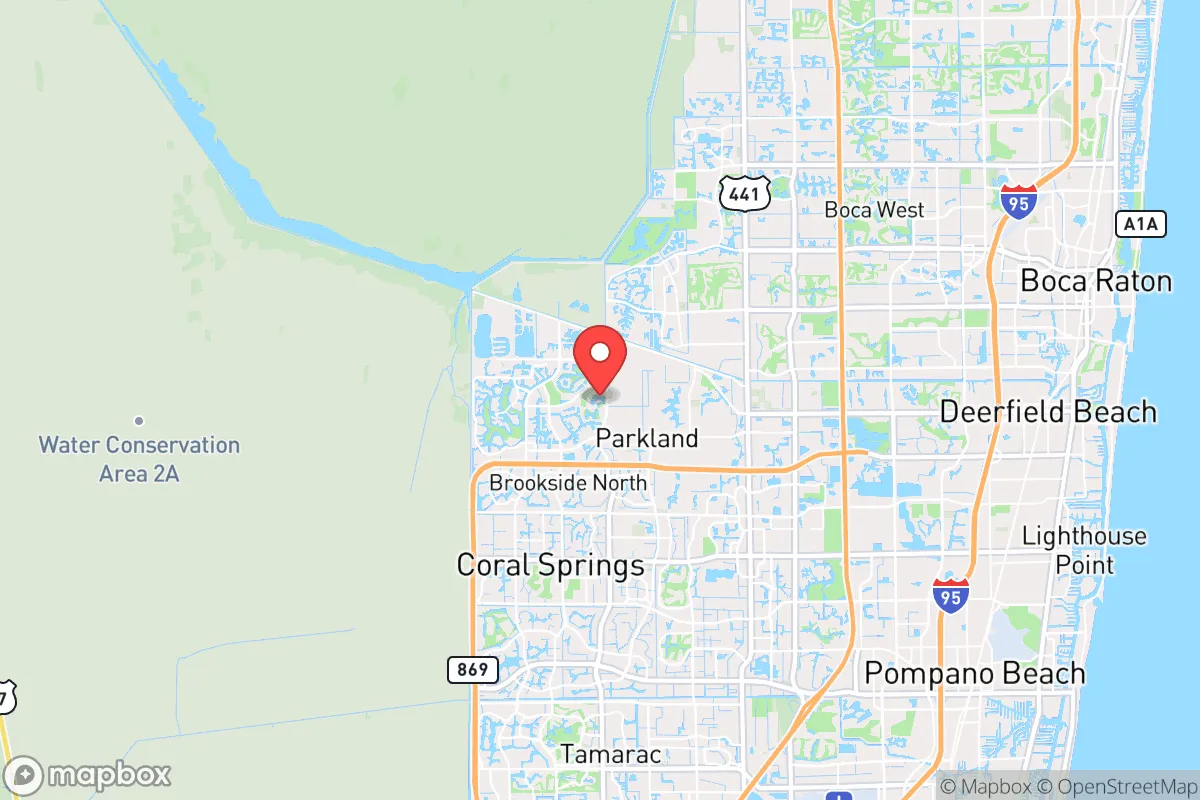
Parkland, Florida, is a planned suburban city of 35,799 residents that has rapidly transformed from a rural ranching outpost into one of Broward County’s most affluent and family-oriented communities. The population is notably well-educated, with 67.1% holding a college degree, and is characterized by a majority-white (56.6%) base alongside significant Hispanic (14.8%), Black (13.3%), and Indian-subcontinent (5.6%) communities. The city’s identity is defined by large-lot single-family homes, top-rated public schools, and a strong sense of safety, attracting families seeking space and stability within commuting distance of Fort Lauderdale and Boca Raton.
How the city was settled and grew
Parkland’s human history begins not with colonial settlement but with the draining of the Everglades in the early 20th century. The area was originally part of the vast “Everglades frontier,” used for cattle ranching and seasonal farming. The first permanent residents were a mix of Midwestern homesteaders and local ranchers who took advantage of the newly arable land after the construction of drainage canals in the 1910s and 1920s. The city was officially incorporated in 1963, but for decades it remained a sparsely populated rural area. The earliest residential clusters formed along Holmberg Road and Parkside Drive, where families lived on multi-acre parcels. These original settlers were predominantly white, Protestant, and self-sufficient, establishing a culture of low-density living that persists today. The city’s name itself—Parkland—was chosen to evoke the open, pastoral landscape that defined its early character.
Modern era (post-1965)
Parkland’s explosive growth began in the 1980s and accelerated through the 2000s, driven by the suburbanization of South Florida’s professional class. The 1965 Hart-Cellar Act had little direct impact on Parkland itself, as the city remained overwhelmingly white until the 1990s. Instead, domestic in-migration from the Northeast and Midwest—families fleeing dense urban areas for good schools and large lots—fueled the boom. The master-planned community of Heron Bay, developed around the Heron Bay Golf Club in the 1990s, became the primary landing point for affluent white families, many of them Jewish and Catholic professionals from New York, New Jersey, and Massachusetts. Simultaneously, the Ranches at Parkland neighborhood attracted a second wave of domestic migrants seeking even larger estate lots (one acre or more), reinforcing the city’s reputation as a place for those who could afford space. By the 2000s, Parkland’s population had grown from under 2,000 in 1980 to over 13,000 by 2000, and then to 35,799 by 2024. The most recent decade (2010–2020) saw significant diversification. The Hispanic share rose to 14.8%, with many families settling in the newer sections of Wyndham Lakes and Pine Tree Estates. The Black population reached 13.3%, concentrated in the Boca Pointe and Parkland Isles neighborhoods, reflecting a broader trend of upwardly mobile Black professionals moving into the city’s newer, higher-density townhome developments. The Indian-subcontinent community (5.6%) has grown rapidly since 2015, with many families choosing Heron Bay and the Estates of Parkland for their proximity to top-rated schools like Marjory Stoneman Douglas High School. East/Southeast Asian residents (2.2%) are a smaller but visible presence, particularly in the Lakes of Parkland area.
The future
Parkland’s population is becoming more diverse, but the pace of change is moderate. The white share has declined from roughly 75% in 2000 to 56.6% today, and this trend is expected to continue as the city’s remaining undeveloped land is built out. New construction is concentrated in the western edge of the city, near the Everglades buffer, where developments like Parkland West and the Preserve at Parkland are attracting a mix of Hispanic, Black, and Indian-subcontinent families. The city’s cultural identity is evolving from a predominantly white, Jewish-influenced suburb into a more multiethnic, family-oriented community where educational achievement and property values remain the unifying values. The next 10–20 years will likely see the foreign-born share (currently 5.1%) rise modestly, driven by professional immigrants from India and Latin America. However, Parkland’s zoning laws—which mandate minimum lot sizes of one-quarter acre in most areas—will limit density and keep the population growth rate below that of neighboring Coral Springs or Tamarac. The city is unlikely to become a majority-minority community within the next two decades, but its character will continue to shift toward a more diverse, highly educated, and politically moderate suburban enclave.
For someone moving in now, Parkland offers a stable, low-crime environment with excellent schools and a strong sense of community, but it is no longer the homogeneous, rural retreat it once was. The city is becoming a destination for upwardly mobile families of all backgrounds who prioritize space, safety, and education over urban amenities. The bottom line: Parkland is a successful, planned suburb that is gradually diversifying without losing its core identity as a place for families who value large lots and top-tier public schools.

* Values derived from national, state, county, city and local statistics and may differ in a specific area. Last updated: 2026-09-25T12:50:22.000Z
Narrative content on this page is AI-generated and may contain mistakes. Verify any details that matter before acting on them.
ReloMaps may earn a commission from affiliate links at no extra cost to you.

