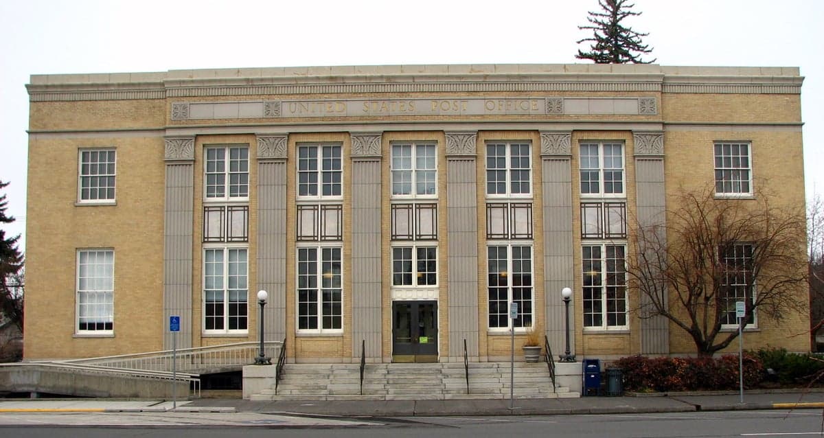
Photo: Wikipedia
Strategic Assessment of Deschutes County
Strong survivability profile. Good buffer from population centers, with manageable environmental and tactical risks.
What does the Strategic Assessment tell us?
Our Strategic Assessment grades tactical survivability of an area. Major population centers, military targets, fallout zones, natural disasters, and border exposure all drive risk — lower exposure means a more defensible position in a crisis.
This is heavily inspired by Joel Skousen's Strategic Relocation book. Highly recommended you checkout the book ($)What does this tell us?
Our Strategic Assessment grades tactical survivability of an area. Major population centers, military targets, fallout zones, natural disasters, and border exposure all drive risk — lower exposure means a more defensible position in a crisis.
This is heavily inspired by Joel Skousen's Strategic Relocation book. Highly recommended you checkout the book ($)Strategic Pillars

Key Distances
Strategic Assessment Analysis
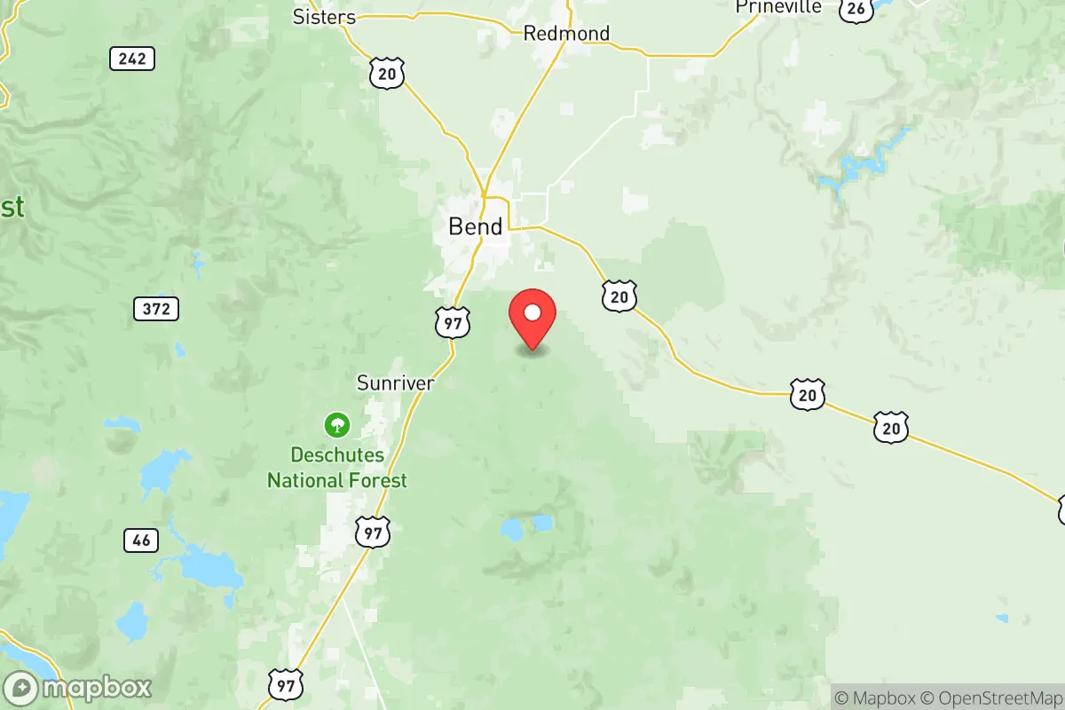
Deschutes County offers a compelling mix of geographic isolation and practical self-sufficiency that appeals to relocation-minded readers prioritizing resilience. Centered on the city of Bend, the county sits east of the Cascade Range crest, placing it in the high desert—a dry, sparsely populated region that naturally buffers against many of the cascading risks found in Oregon's wetter, more densely settled Willamette Valley. The area's strategic value lies in its distance from major metropolitan targets (Portland is roughly 160 miles northwest) and its position within a network of smaller, defensible communities like Redmond, Sisters, and Prineville, each with its own local infrastructure and agricultural capacity.
Geographic position and natural advantages for long-term stability
Deschutes County's location provides a rare combination of defensible terrain and resource access. The county sits on the eastern slope of the Cascade Range, with the Deschutes River cutting through its center, offering a reliable water source that is less contested than in arid parts of the interior West. The high desert climate—averaging less than 12 inches of precipitation annually—reduces risks from flooding, landslides, and the persistent mold and structural decay that plague wetter regions. The surrounding landscape is dominated by Ponderosa pine forests and volcanic buttes, which create natural chokepoints along major highways (US-97 and OR-126) that could be monitored or controlled if needed. The county's elevation, ranging from roughly 3,000 to 6,000 feet, also provides a degree of protection from airborne contaminants that might drift from coastal or valley sources, as prevailing winds tend to disperse particulates over the high desert rather than concentrate them.
Risks, exposures, and proximity to fallout-relevant landmarks
While Deschutes County avoids the worst of Oregon's seismic and industrial hazards, it is not without vulnerabilities. The most significant natural risk is wildfire: the county's dry forests and sagebrush steppe have experienced major fires in recent years, including the 2021 Bootleg Fire (just south of the county line) and the 2023 Cedar Creek Fire near Sisters. These events underscore the need for defensible space and a personal evacuation plan. On the man-made risk side, the county is roughly 100 miles from the Oregon Coast Range, which houses the U.S. Navy's Naval Weapons Systems Training Facility at Boardman (to the north) and the Umatilla Chemical Depot (to the northeast), both of which are potential targets in a conflict scenario. More immediately, the county's proximity to the Portland metropolitan area—a major population and industrial center—means that fallout from a Portland-area event could drift eastward, though the Cascade Range acts as a significant barrier. The county also lies within 50 miles of the John Day Fossil Beds National Monument and the Deschutes National Forest, both of which are low-value targets but could see secondary effects from infrastructure disruptions. The nearest major military installation is the Oregon Army National Guard's Camp Withycombe in Clackamas (about 120 miles west), which is not a high-priority target but could become a staging area in a crisis.
Practical resilience for a relocator: food, water, energy, and defensibility
For someone serious about self-sufficiency, Deschutes County offers several practical advantages. Water access is the strongest asset: the Deschutes River and its tributaries (including the Crooked River and Metolius River) provide year-round flow, and groundwater is generally accessible via wells in the county's alluvial valleys. The county's agricultural sector, concentrated around Redmond and Terrebonne, produces hay, alfalfa, and some vegetables, though the growing season is short (roughly 90-120 frost-free days). Local food production is supplemented by the Central Oregon Farmers' Market in Bend and smaller markets in Sisters and Prineville, but long-term food security would require significant personal gardening or livestock investment. Energy infrastructure is solid: the county is served by Pacific Power and the Central Electric Cooperative, with the Pelton-Round Butte Dam complex on the Deschutes River providing a local hydroelectric source. For off-grid energy, the high desert's 300+ days of sunshine per year make solar a viable primary or backup option. Defensibility is moderate: the county's dispersed population (roughly 200,000 people across 3,000 square miles) means that rural properties near La Pine or Sunriver offer natural isolation, while Bend's denser core presents the same vulnerabilities as any small city—reliance on supply chains and concentrated infrastructure. The county's topography, with its rimrock canyons and forested ridges, provides natural defensive positions, but the open sagebrush flats east of Bend offer little cover. The local law enforcement presence is limited outside of Bend, so personal security planning—including community networks and physical preparedness—is essential.
The overall strategic picture for Deschutes County is one of moderate resilience with clear trade-offs. It avoids the worst of Oregon's seismic and industrial risks while offering reliable water, good solar potential, and a defensible terrain that rewards preparation. The main drawbacks are wildfire exposure and the county's growing population, which could strain resources in a prolonged crisis. For a relocator willing to invest in fire mitigation, water storage, and community ties, Deschutes County represents a solid choice—not a fortress, but a place where thoughtful planning can yield genuine self-sufficiency. The key is to avoid the Bend city limits and instead focus on the smaller towns and rural parcels where isolation and resource access align more favorably.

* Values derived from national, state, county, city and local statistics and may differ in a specific area. Last updated: 2026-07-10T12:03:55.000Z
Narrative content on this page is AI-generated and may contain mistakes. Verify any details that matter before acting on them.
ReloMaps may earn a commission from affiliate links at no extra cost to you.

