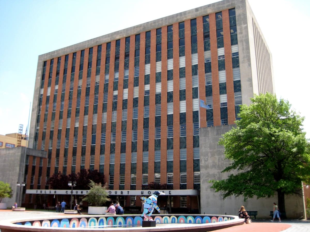
Photo: Wikipedia
Strategic Assessment of Tulsa County
Multiple tactical vulnerabilities. Population density, target proximity, or disaster risk are likely compounding. A retreat property and exit planning is required.
What does the Strategic Assessment tell us?
Our Strategic Assessment grades tactical survivability of an area. Major population centers, military targets, fallout zones, natural disasters, and border exposure all drive risk — lower exposure means a more defensible position in a crisis.
This is heavily inspired by Joel Skousen's Strategic Relocation book. Highly recommended you checkout the book ($)What does this tell us?
Our Strategic Assessment grades tactical survivability of an area. Major population centers, military targets, fallout zones, natural disasters, and border exposure all drive risk — lower exposure means a more defensible position in a crisis.
This is heavily inspired by Joel Skousen's Strategic Relocation book. Highly recommended you checkout the book ($)Strategic Pillars

Key Distances
Strategic Assessment Analysis
Tulsa County offers a compelling mix of geographic resilience and logistical centrality that appeals to relocation-minded individuals and families who prioritize preparedness and self-sufficiency. Situated in the heart of Green Country, the county benefits from a position that is far enough from coastal hurricane zones and major seismic fault lines to avoid the worst of those natural threats, yet close enough to critical infrastructure and supply chains to maintain access to resources. The area’s strategic value lies in its balance of urban capability—anchored by the city of Tulsa—and the immediate availability of rural buffer zones, making it a viable base for those thinking seriously about long-term stability and disaster readiness.
Geographic position and natural advantages for long-term stability
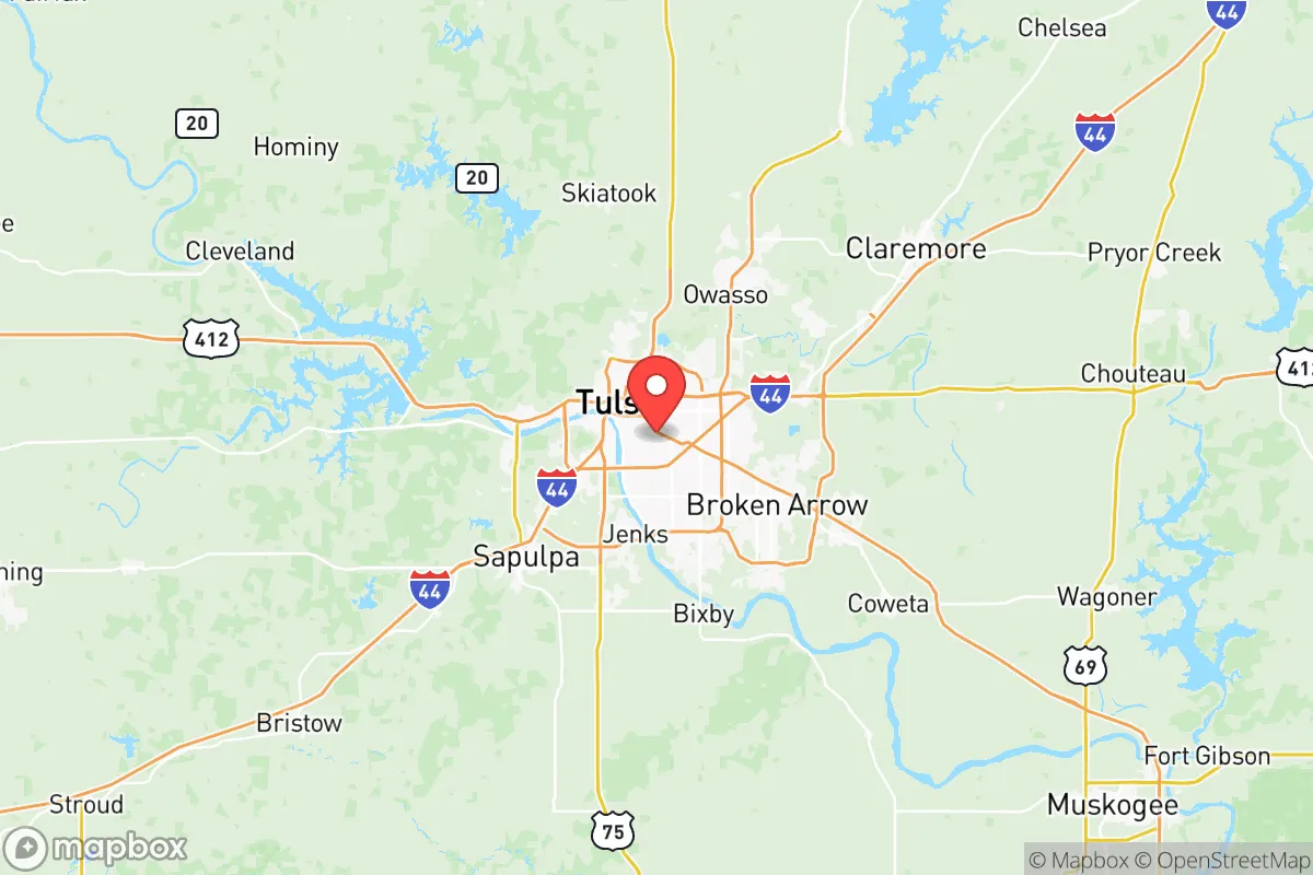
Tulsa County sits at the convergence of the Arkansas River and several major transportation corridors, including Interstate 44 and the Cherokee Turnpike, which link it to both the Dallas-Fort Worth metroplex and the Ozark highlands. This positioning provides a natural advantage: the region is elevated enough to avoid the catastrophic flooding seen in coastal plains, yet the river systems offer reliable water access for agricultural and residential use. The surrounding terrain—rolling hills, hardwood forests, and limestone bluffs—creates natural defensibility and microclimate stability, reducing the risk of extreme temperature swings. The county’s proximity to the Ozark Plateau also means that relocators can access higher ground and more isolated properties within a 30- to 60-minute drive, particularly near communities like Sand Springs, Jenks, and Bixby, which sit on the southern and western edges of the county. These areas offer a blend of suburban infrastructure and rural escape routes, a key consideration for anyone evaluating a location’s long-term habitability.
Risks, exposures, and proximity to fallout-relevant landmarks
No strategic assessment is complete without acknowledging the risks. Tulsa County is not immune to natural hazards: the region lies within Tornado Alley, and severe weather—including EF-2 and EF-3 tornadoes—is a seasonal reality. The 2021 and 2023 outbreaks demonstrated that even well-prepared households need robust storm shelters and redundant communication systems. Beyond weather, the county’s industrial and military footprint introduces man-made risks. Tulsa International Airport and the adjacent Tulsa Air National Guard Base are potential targets in a conflict scenario, as is the Port of Catoosa, one of the nation’s largest inland river ports and a critical node for fuel and grain transport. The port’s proximity to the Tulsa Refinery corridor—including the HollyFrontier and Phillips 66 facilities—means that a major incident could disrupt fuel supplies and create localized contamination zones. Additionally, the county is within 100 miles of McAlester Army Ammunition Plant, a high-value military asset that could be a secondary target. For a relocator concerned with fallout and societal disruption, these landmarks represent elevated risk, particularly for those living near the port or airport corridors. However, the county’s decentralized layout—with rural pockets in the eastern and southern reaches—offers some mitigation for those willing to trade commute times for distance from these nodes.
Practical resilience for a relocator: food, water, energy, and defensibility
For the individual or family serious about self-sufficiency, Tulsa County presents a mixed but workable picture. Water availability is a strength: the county sits atop the Roubidoux Aquifer, a reliable groundwater source, and the Arkansas River system provides surface water for irrigation and emergency use. Many rural properties in areas like Owasso and Broken Arrow already have private wells, and the county’s soil—primarily sandy loam and clay—supports vegetable gardens, orchards, and small livestock operations. Food resilience is bolstered by the region’s agricultural base: the county is surrounded by wheat, corn, and cattle operations, and the Tulsa Farmers’ Market network provides direct access to local produce even in non-crisis times. Energy infrastructure is robust but centralized: the county is served by the Grand River Dam Authority and several natural gas plants, meaning grid dependency is high. However, solar potential is moderate (about 4.5 peak sun hours per day), and many relocators have successfully installed off-grid solar arrays with battery backup, particularly in the more rural towns of Collinsville and Sperry. Defensibility is a nuanced factor: the county’s terrain offers natural chokepoints along river crossings and ridge lines, but the urban core is sprawling and difficult to secure. The most defensible properties tend to be on the county’s periphery, where road access is limited and neighbors are spaced far enough apart to provide early warning and mutual aid without compromising privacy.
Overall, Tulsa County offers a realistic strategic option for the preparedness-minded relocator who wants urban access without sacrificing the ability to retreat to a more resilient posture. The risks are real—tornadoes, industrial targets, and grid dependency—but they are manageable with proper planning, property selection, and investment in redundant systems. The county’s geographic position, water resources, and agricultural support make it a stronger bet than many coastal or densely urbanized alternatives. For the family or individual willing to do the homework—choosing a home on the southern or eastern fringe, drilling a well, installing solar, and building a storm shelter—Tulsa County provides a foundation that balances modern convenience with the kind of resilience that matters when the grid goes down or the world gets complicated.

* Values derived from national, state, county, city and local statistics and may differ in a specific area. Last updated: 2026-06-22T14:10:49.000Z
Narrative content on this page is AI-generated and may contain mistakes. Verify any details that matter before acting on them.
ReloMaps may earn a commission from affiliate links at no extra cost to you.

