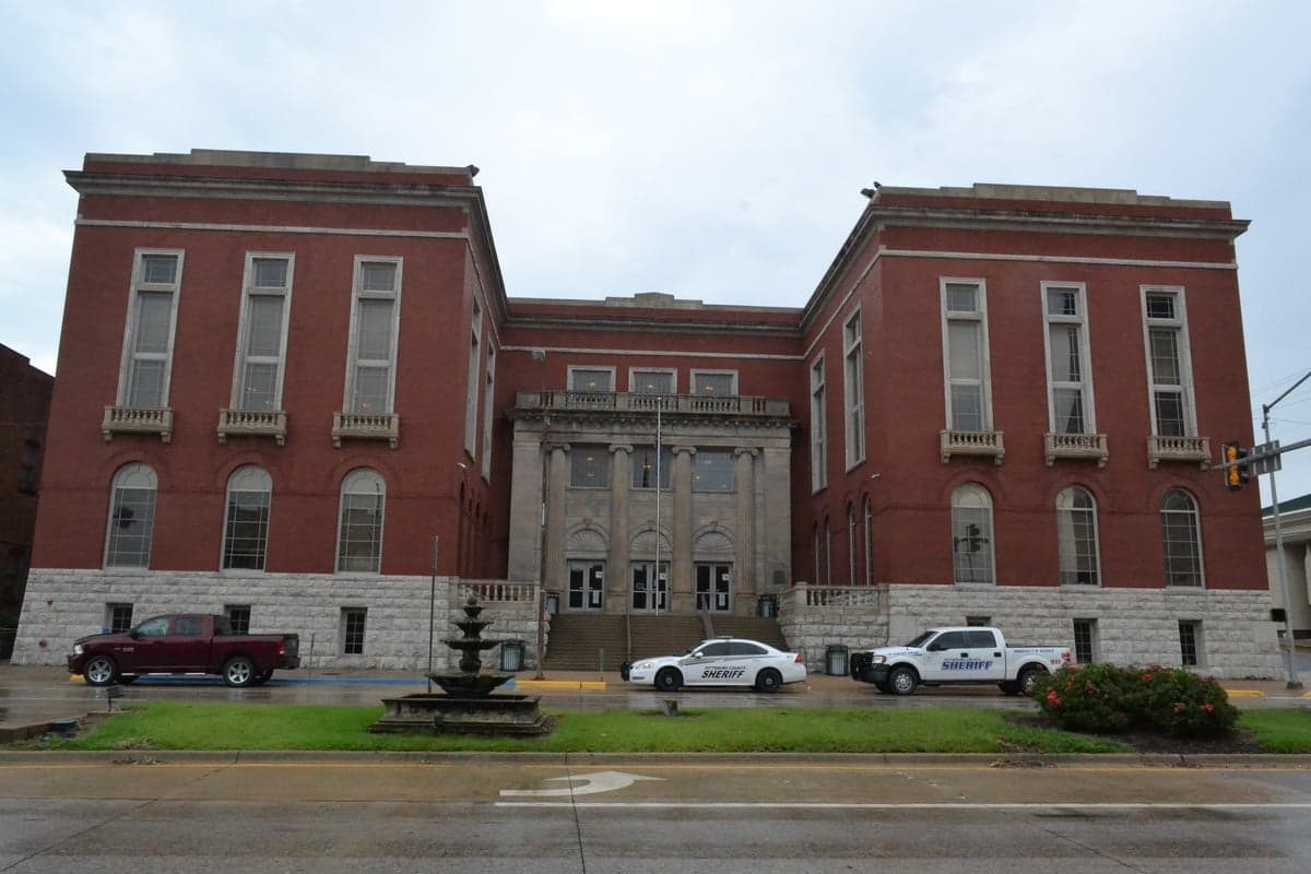
Photo: Wikipedia
Strategic Assessment of Pittsburg County
Workable tactical position. Some exposure to population density or targets, but generally defensible in a crisis.
What does the Strategic Assessment tell us?
Our Strategic Assessment grades tactical survivability of an area. Major population centers, military targets, fallout zones, natural disasters, and border exposure all drive risk — lower exposure means a more defensible position in a crisis.
This is heavily inspired by Joel Skousen's Strategic Relocation book. Highly recommended you checkout the book ($)What does this tell us?
Our Strategic Assessment grades tactical survivability of an area. Major population centers, military targets, fallout zones, natural disasters, and border exposure all drive risk — lower exposure means a more defensible position in a crisis.
This is heavily inspired by Joel Skousen's Strategic Relocation book. Highly recommended you checkout the book ($)Strategic Pillars

Key Distances
Strategic Assessment Analysis
Pittsburg County, Oklahoma, offers a compelling mix of strategic depth and practical resilience for those prioritizing self-sufficiency and disaster preparedness. Anchored by the city of McAlester, the county sits at the crossroads of the Indian Nation Turnpike and U.S. Highway 69, providing reliable evacuation and supply routes while remaining far enough from major metropolitan targets to avoid primary fallout zones. Its location in the rolling hills of southeastern Oklahoma provides natural defensibility and access to abundant water resources, making it a serious contender for relocators who value both isolation and logistical connectivity.
Geographic position and natural advantages for long-term security
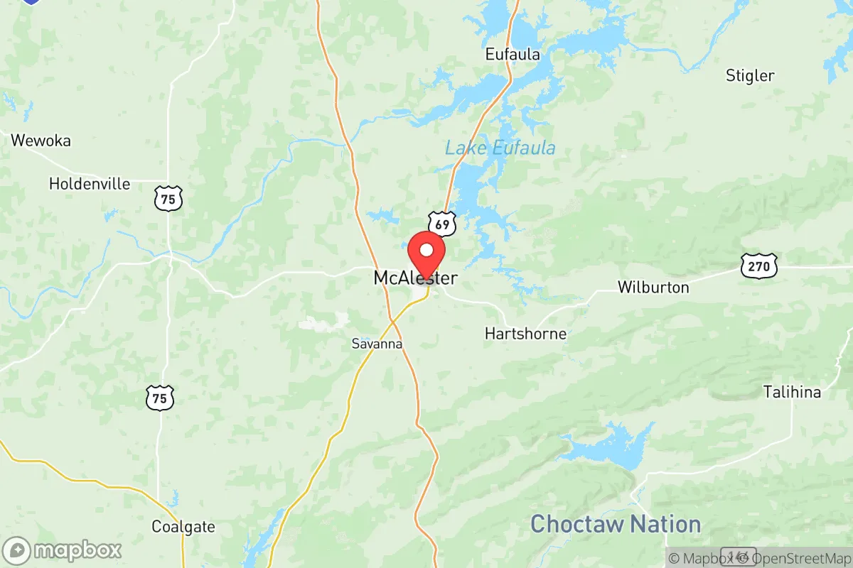
Pittsburg County's geography is its strongest asset for resilience. The county lies in the Ouachita Mountains foothills, offering a terrain of forested ridges, river valleys, and limestone bluffs that naturally channel movement and provide cover. The South Canadian River and the numerous creeks feeding into Lake Eufaula—the state's largest reservoir, partially within the county's northern edge—ensure a reliable surface water supply even during drought. McAlester itself sits at an elevation of around 720 feet, above the floodplains of the nearby rivers, reducing flood risk while maintaining access to alluvial soils suitable for agriculture. The county's position roughly 90 miles south of Tulsa and 120 miles east of Oklahoma City places it outside the likely blast and thermal radii of those urban centers, while still being within a day's drive of essential supply hubs. The nearby town of Hartshorne, with its historic coal mining infrastructure, offers potential for underground storage or shelter, and the unincorporated areas around Kiowa and Blanco provide remote homesteading opportunities with minimal population density.
Risks, exposures, and proximity to fallout-relevant landmarks
While Pittsburg County avoids the highest-risk zones, it is not without exposure. The most significant man-made risk comes from the McAlester Army Ammunition Plant (MCAAP), a sprawling 45,000-acre facility that produces and stores conventional munitions for the U.S. military. This installation is a high-value target in any conflict scenario, and its proximity to McAlester—within five miles of the city center—means a direct strike would produce catastrophic blast effects and potential secondary explosions. However, the plant's location in a relatively rural area and its hardened bunkers reduce the likelihood of a widespread fallout plume compared to a nuclear power plant or chemical refinery. The county also sits within 150 miles of the Cushing oil storage hub and the Tulsa refineries, both of which are likely targets; prevailing winds from the south and west would carry fallout away from Pittsburg County in most scenarios. Natural risks include occasional tornadoes (the county is in the southern edge of Tornado Alley) and ice storms that can knock out power for days, but the forested terrain reduces tornado intensity compared to the open plains to the west. The county's distance from the New Madrid Seismic Zone (roughly 300 miles) means earthquake risk is low, though tremors from induced seismicity in central Oklahoma have been felt occasionally.
Practical resilience for a relocator: food, water, energy, and defensibility
For a relocator serious about self-sufficiency, Pittsburg County offers strong fundamentals. Water is abundant: Lake Eufaula holds over 3.5 million acre-feet of water, and the county's numerous perennial streams—including the Gaines Creek and the North Fork of the Canadian River—provide year-round flow. Private wells are common in rural areas, with typical depths of 100-300 feet tapping into the Arbuckle-Simpson aquifer, which is less vulnerable to surface contamination than alluvial sources. Food production is viable: the county has over 1,200 farms, with a strong tradition of cattle ranching, hay production, and small-scale row crops like wheat and soybeans. The growing season averages 210 days, allowing for two crop cycles in many years. Local farmers' markets in McAlester and Krebs provide fresh produce during normal times, and the county's extensive oak-hickory forests support wild game including deer, turkey, and squirrel. Energy resilience is mixed: the grid is served by Public Service Company of Oklahoma, with frequent outages during storms, but the county has high solar potential (5.0-5.5 peak sun hours per day) and abundant biomass for wood heating. Propane is widely available for backup generation. Defensibility is aided by the terrain: the forested hills and winding roads create natural chokepoints, and the low population density (roughly 45 people per square mile) means fewer competition for resources in a crisis. The county seat of McAlester has a police force of about 40 officers, but rural areas rely on the sheriff's department and volunteer fire departments, making community organization essential for security.
The overall strategic picture for Pittsburg County is one of balanced resilience with a single, significant vulnerability. The McAlester Army Ammunition Plant is a double-edged sword: it provides local employment and infrastructure but also marks the area as a potential target. For a relocator willing to settle in the northern or eastern parts of the county—away from the plant and closer to Lake Eufaula or the Pushmataha County line—the risks are manageable. The county's water abundance, agricultural capacity, and defensible terrain make it one of the better options in Oklahoma for long-term self-sufficiency, especially for those who can build a community of like-minded neighbors. The proximity to Tulsa and Oklahoma City for supply runs, combined with the isolation of the rural areas, offers a practical middle ground for families who want to be prepared without living off-grid entirely. For the conservative-leaning relocator who values independence, local governance, and a slower pace of life, Pittsburg County deserves serious consideration—provided they plan around the ammunition plant's shadow.

* Values derived from national, state, county, city and local statistics and may differ in a specific area. Last updated: 2026-07-18T10:25:27.000Z
Narrative content on this page is AI-generated and may contain mistakes. Verify any details that matter before acting on them.
ReloMaps may earn a commission from affiliate links at no extra cost to you.

