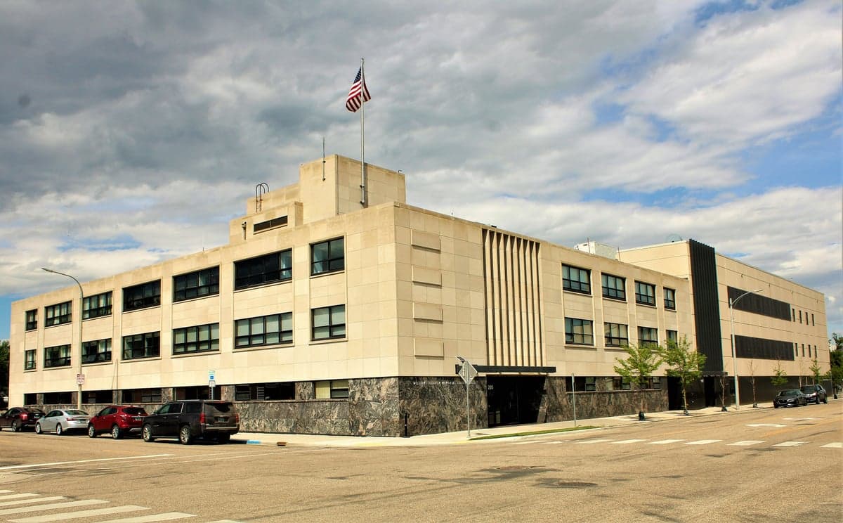
Photo: Wikipedia
Strategic Assessment of Williams County
Strong survivability profile. Good buffer from population centers, with manageable environmental and tactical risks.
What does the Strategic Assessment tell us?
Our Strategic Assessment grades tactical survivability of an area. Major population centers, military targets, fallout zones, natural disasters, and border exposure all drive risk — lower exposure means a more defensible position in a crisis.
This is heavily inspired by Joel Skousen's Strategic Relocation book. Highly recommended you checkout the book ($)What does this tell us?
Our Strategic Assessment grades tactical survivability of an area. Major population centers, military targets, fallout zones, natural disasters, and border exposure all drive risk — lower exposure means a more defensible position in a crisis.
This is heavily inspired by Joel Skousen's Strategic Relocation book. Highly recommended you checkout the book ($)Strategic Pillars

Key Distances
Strategic Assessment Analysis
Williams County, North Dakota, offers a compelling strategic position for those prioritizing resilience and self-sufficiency, anchored by its remote location in the state's northwestern corner and its role as the heart of the Bakken oil formation. The county's primary city, Williston, serves as a regional hub, but the surrounding landscape of small towns like Ray, Tioga, and Grenora provides a buffer of space and low population density that is increasingly rare in the continental United States. For a relocator thinking seriously about disaster readiness, this area presents a unique mix of energy independence, agricultural potential, and geographic isolation, though it is not without its own set of risks tied directly to the industry that drives its economy.
Geographic position and natural advantages for long-term security
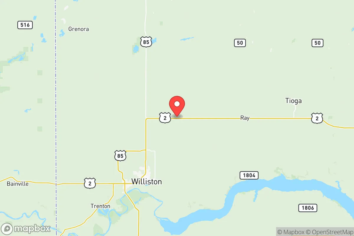
Williams County's most significant strategic asset is its sheer distance from major population centers and the fallout-relevant landmarks that define the rest of the country. Williston sits roughly 60 miles from the Montana border and over 400 miles from the nearest major metropolitan area, Minneapolis-St. Paul. This isolation dramatically reduces the risk of being caught in the immediate aftermath of a large-scale event affecting a coastal or urban center. The county is part of the Missouri Plateau, characterized by rolling plains, buttes, and the Missouri River system, which provides a reliable water source. The Missouri River itself flows just south of Williston, and Lake Sakakawea, a massive reservoir created by the Garrison Dam, lies to the southeast, offering a substantial freshwater reserve. The terrain is open, which aids in situational awareness but offers limited natural cover; defensibility relies more on distance and low population density than on mountains or forests. The area's cold, semi-arid climate—with long, harsh winters and short summers—is a natural barrier to large-scale migration, which can be viewed as a positive for those seeking to avoid post-event crowding.
Risks, exposures, and proximity to fallout-relevant landmarks
The primary risk in Williams County is not natural disaster but man-made, directly tied to its role as the epicenter of the Bakken oil boom. The county is dotted with thousands of active oil and gas wells, tank batteries, and processing plants. The most significant fallout-relevant landmark is the Tioga Gas Plant, a major natural gas processing facility located about 15 miles east of Williston. A catastrophic failure or targeted event at this facility, or at the numerous rail loading terminals that handle crude oil, could create a localized but severe hazard zone. Additionally, the county is crisscrossed by pipelines and rail lines carrying volatile materials. While the risk of a nuclear event is low, the county's proximity to Minot Air Force Base (about 100 miles east), home to nuclear-capable B-52 bombers and missile wings, introduces a theoretical risk that is absent in most other rural counties. Natural hazards are less dramatic: severe winter blizzards can paralyze travel for days, and the flat terrain can produce sudden, intense thunderstorms and tornadoes, though the region is not in the heart of Tornado Alley. The primary exposure for a relocator is the volatility of the local economy, which is almost entirely dependent on oil prices; a crash can lead to rapid population loss and reduced services.
Practical resilience for a relocator: food, water, energy, and defensibility
For a relocator focused on self-sufficiency, Williams County offers strong fundamentals in energy and water, but significant challenges in food production and community infrastructure. Energy independence is the county's standout feature. The Bakken formation provides abundant natural gas and oil, and while most electricity is grid-supplied, the local infrastructure is robust. Many rural properties have access to natural gas for heating, and the potential for off-grid solar is viable during the long summer days, though winter generation is limited. Water is plentiful from the Missouri River system and the shallow aquifers that feed it, but well drilling is expensive and requires depth. Surface water from the river or Lake Sakakawea is accessible but requires treatment. Food security is the weak point. The growing season is short (roughly 100-120 frost-free days), making large-scale gardening difficult. The county's agricultural focus is on wheat, canola, and cattle ranching, not diversified vegetable production. Local grocery stores in Williston and Tioga are the primary food sources, and supply chains can be disrupted by winter storms. For defensibility, the low population density is a double-edged sword: it offers privacy and space, but also means that emergency services are spread thin. The nearest Level II trauma center is in Williston, but for specialized care, residents must travel to Minot or Bismarck. The community is tight-knit and self-reliant by necessity, with a strong culture of neighborly assistance, but formal preparedness infrastructure is limited.
The overall strategic picture for Williams County is one of high potential reward balanced against specific, manageable risks. Its isolation from major population centers and fallout-relevant landmarks like Houston's refinery corridor or Fort Hood is a clear positive, reducing the likelihood of being caught in a cascading urban collapse. The abundance of local energy and water provides a foundation for long-term self-sufficiency that few other regions can match. However, the reliance on a single volatile industry, the short growing season, and the proximity to the Tioga Gas Plant and Minot Air Force Base require a relocator to be proactive. A successful strategy here involves securing a property with a reliable water source, investing in a substantial food storage program, and building strong local connections to navigate the boom-and-bust cycles. For those willing to endure the harsh winters and the industrial landscape, Williams County offers a genuinely resilient base of operations in a part of the country that remains off the beaten path.

* Values derived from national, state, county, city and local statistics and may differ in a specific area. Last updated: 2026-10-21T23:32:38.000Z
Narrative content on this page is AI-generated and may contain mistakes. Verify any details that matter before acting on them.
ReloMaps may earn a commission from affiliate links at no extra cost to you.

