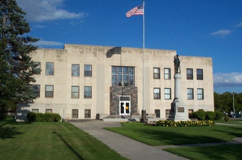
Photo: Wikipedia
Strategic Assessment of Walsh County
Strong survivability profile. Good buffer from population centers, with manageable environmental and tactical risks.
What does the Strategic Assessment tell us?
Our Strategic Assessment grades tactical survivability of an area. Major population centers, military targets, fallout zones, natural disasters, and border exposure all drive risk — lower exposure means a more defensible position in a crisis.
This is heavily inspired by Joel Skousen's Strategic Relocation book. Highly recommended you checkout the book ($)What does this tell us?
Our Strategic Assessment grades tactical survivability of an area. Major population centers, military targets, fallout zones, natural disasters, and border exposure all drive risk — lower exposure means a more defensible position in a crisis.
This is heavily inspired by Joel Skousen's Strategic Relocation book. Highly recommended you checkout the book ($)Strategic Pillars

Key Distances
Strategic Assessment Analysis
Walsh County, North Dakota, offers a compelling strategic profile for relocators prioritizing resilience, self-sufficiency, and distance from major metropolitan vulnerabilities. Situated in the northeastern corner of the state along the Red River Valley, the county combines agricultural abundance with low population density and significant separation from the nation's most critical infrastructure and population centers. For a reader assessing disaster readiness and long-term stability, Walsh County presents a balanced mix of natural advantages, manageable risks, and practical self-sufficiency potential that warrants serious consideration.
Geographic position and natural advantages for long-term stability
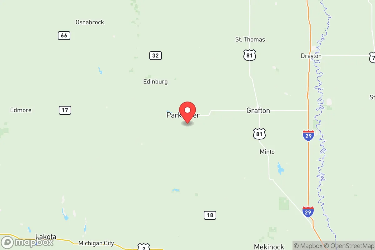
Walsh County's location is its primary strategic asset. The county seat, Grafton, sits roughly 30 miles west of the Minnesota border and about 50 miles north of Grand Forks, placing it well outside the immediate fallout zones of any major metropolitan area. The county's position along the Red River Valley provides access to some of the most fertile agricultural land in the United States, a critical factor for food security. The terrain is predominantly flat to gently rolling, which simplifies construction, road maintenance, and potential agricultural expansion. The county's northern latitude and continental climate mean cold winters, but this also reduces the risk of many natural disasters common elsewhere—no hurricanes, no earthquakes, no wildfires of significant scale, and no tsunami threats. The Forest River and Park River watersheds, along with the Red River itself, provide surface water resources that supplement the region's abundant groundwater. For a relocator thinking in decades rather than years, the county's position in the Drift Prairie ecoregion offers stable geology and predictable seasonal patterns, with no active fault lines or volcanic zones within hundreds of miles.
Risk assessment: natural exposures and proximity to critical infrastructure
No location is without risk, and Walsh County has specific exposures that a strategic relocator must weigh. The most significant natural risk is spring flooding along the Red River and its tributaries. The 1997 Red River Flood, which devastated Grand Forks, demonstrated the region's vulnerability to prolonged, widespread inundation. Communities like Grafton, Park River, and Minto have experienced flood events that damaged infrastructure and disrupted transportation. However, post-1997 investments in levees, diversion channels, and improved forecasting have substantially reduced this risk for most county settlements. The county's position relative to man-made risks is more favorable. The nearest major military installation is Grand Forks Air Force Base, approximately 50 miles south, which houses the 319th Reconnaissance Wing and is a potential target in a conflict scenario. However, Walsh County sits outside the most probable blast and fallout zones for a strike on that base. The county is also well removed from the Minot Air Force Base (about 150 miles west), the oil refining and processing infrastructure of the Bakken region in western North Dakota, and the nuclear power plants at Prairie Island (Minnesota) and Monticello (Minnesota), both over 200 miles away. The county's distance from the Canadian border (roughly 60 miles) places it outside the immediate concern of cross-border disruptions while still being close enough for potential evacuation routes. The primary man-made risk is the rail corridor running through the county, which transports crude oil and agricultural chemicals—a derailment or spill could affect local water sources, particularly the Red River and its tributaries.
Practical resilience for relocators: food, water, energy, and defensibility
Walsh County's practical resilience metrics are strong for a rural area. Food security is the county's standout advantage. The region is a major producer of wheat, soybeans, corn, sugar beets, and potatoes, with American Crystal Sugar Company operating a processing facility in Drayton that processes a significant portion of the nation's sugar beet crop. Local farmers markets, CSAs, and direct-from-farm purchasing are well-established, and the county's agricultural extension services provide resources for home gardening and small-scale livestock operations. Water security is robust: the Red River Valley Aquifer provides reliable groundwater, and the county's surface water resources are plentiful. Most rural properties rely on private wells, which gives relocators direct control over their water supply. Energy resilience is moderate. The county is served by Nodak Electric Cooperative and other rural co-ops, which have historically maintained reliable service. The region's wind potential is significant, and some rural properties already incorporate small-scale wind or solar. However, the grid is not hardened against prolonged winter storms, and relocators should plan for backup power. Defensibility is a mixed picture. The county's low population density (roughly 9 people per square mile) and dispersed settlement pattern make it difficult for any external force to exert control, but also mean that neighbors are far apart for mutual aid. The county's road network is adequate but not redundant—US Highway 81 and North Dakota Highway 17 are the primary arteries, and winter storms can isolate communities for days. The Grafton area has a small regional hospital, but serious medical emergencies require transport to Grand Forks or Fargo. For a relocator, the defensibility calculus favors those who arrive prepared with supplies, skills, and a community network.
The overall strategic picture for Walsh County is one of moderate-to-high resilience with manageable trade-offs. The county offers genuine advantages in food production capacity, water availability, and distance from high-value targets that a strategic relocator would find compelling. The primary liabilities—flood risk, winter storm isolation, and moderate healthcare access—are predictable and mitigable with proper planning. For a family or individual willing to invest in flood-resistant infrastructure, backup power, and community relationships, Walsh County represents a defensible, resource-rich location that balances rural self-sufficiency with reasonable access to regional services in Grand Forks and Fargo. The county is not a survivalist retreat in the wilderness; it is a working agricultural region with established communities, schools, and infrastructure that can support a resilient lifestyle without requiring complete isolation. For the relocator who values practical preparedness over ideological purity, Walsh County deserves a place on the short list.

* Values derived from national, state, county, city and local statistics and may differ in a specific area. Last updated: 2026-07-18T17:31:06.000Z
Narrative content on this page is AI-generated and may contain mistakes. Verify any details that matter before acting on them.
ReloMaps may earn a commission from affiliate links at no extra cost to you.

