
Photo: Wikipedia
Strategic Assessment of Robeson County
Meaningful friction. Expect exposure to either population pressure, blast zones, or natural disaster risk. Consider buying a retreat property.
What does the Strategic Assessment tell us?
Our Strategic Assessment grades tactical survivability of an area. Major population centers, military targets, fallout zones, natural disasters, and border exposure all drive risk — lower exposure means a more defensible position in a crisis.
This is heavily inspired by Joel Skousen's Strategic Relocation book. Highly recommended you checkout the book ($)What does this tell us?
Our Strategic Assessment grades tactical survivability of an area. Major population centers, military targets, fallout zones, natural disasters, and border exposure all drive risk — lower exposure means a more defensible position in a crisis.
This is heavily inspired by Joel Skousen's Strategic Relocation book. Highly recommended you checkout the book ($)Strategic Pillars

Key Distances
Strategic Assessment Analysis
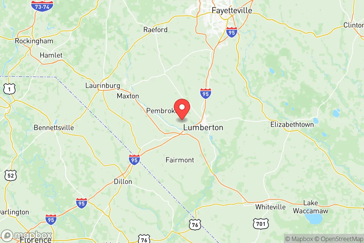
Robeson County, North Carolina, offers a compelling mix of strategic depth and practical challenges for the relocation-minded reader focused on resilience and self-sufficiency. Its position in the state's southeastern corner, anchored by the city of Lumberton and the towns of Pembroke and St. Pauls, places it at a crossroads of major transportation arteries while remaining distinctly rural and off the beaten path. The county’s resilience profile is a study in contrasts: significant natural advantages in water and agriculture are tempered by real exposure to hurricane risks and the proximity of a major military installation, Fort Liberty (formerly Fort Bragg), just to the north.
Geographic position and natural advantages for long-term stability
Robeson County sits at the junction of I-95 and I-74, providing excellent road connectivity without the congestion and density of the I-95 corridor through Virginia or the Northeast. The Lumber River, a blackwater river designated as a National Wild and Scenic River, runs through the county and provides a reliable surface water source, a critical asset for long-term water security. The county is part of the North Carolina Coastal Plain, meaning the terrain is flat to gently rolling, which simplifies well drilling, septic system installation, and small-scale agriculture. The growing season is long—typically over 200 days—allowing for extended food production cycles. For the relocator, the ability to access fresh water from the Lumber River and its tributaries, combined with fertile, workable soil, forms a strong foundation for a self-sufficient homestead. The county's position roughly 80 miles inland from the Atlantic coast also provides a buffer against the most severe storm surge, though it remains vulnerable to inland flooding and hurricane-force winds.
Risks, exposures, and proximity to fallout-relevant landmarks
The most significant risk factor for Robeson County is its location within the hurricane strike zone of the southeastern United States. Hurricane Florence in 2018 caused catastrophic flooding in Lumberton and along the Lumber River basin, with some areas receiving over 30 inches of rain. This is not a one-off event; the county sits in a flood-prone region, and any relocator must carefully evaluate FEMA flood maps and consider elevated building sites or flood-proofing measures. Beyond weather, the county's proximity to Fort Liberty (about 30 miles north of Lumberton) is a double-edged sword. While the base is a major economic driver, it also represents a potential target in a conflict scenario. The county is also within roughly 100 miles of the Port of Wilmington, a major shipping hub for fuels and chemicals, and the petrochemical infrastructure along the Cape Fear River. For the resilience-minded reader, these are real, if distant, exposure points. On the positive side, Robeson County has no major refineries, nuclear power plants, or large-scale industrial targets within its borders, and its rural character means fewer high-value targets than the Raleigh-Durham or Charlotte metros.
Practical resilience for a relocator: food, water, energy, and defensibility
Robeson County is one of North Carolina's leading agricultural producers, with significant acreage dedicated to corn, soybeans, tobacco, and sweet potatoes. This agricultural base means that local food supply chains are robust, and farmers' markets and direct-from-farm purchasing are viable options. For the self-sufficient relocator, the county's rural zoning laws are generally permissive regarding livestock, gardening, and small-scale farming, though it is wise to check specific municipal ordinances in Lumberton or Pembroke. Water availability is a strong point: the Lumber River aquifer is productive, and many rural properties have existing wells. Energy resilience is more mixed. Duke Energy provides grid power, but outages during hurricanes are common and can last days. Solar potential is moderate—the region receives about 4.5 peak sun hours per day—and a backup generator or battery system is strongly recommended. Defensibility is a function of the county's layout: the terrain offers no natural chokepoints, but the rural road network and large lot sizes (many properties are 5-20 acres) provide a degree of separation and privacy. The county's population density is low—roughly 130 people per square mile—which reduces competition for resources in a crisis compared to urban areas.
The overall strategic picture for Robeson County is one of a resilient, resource-rich area with manageable but real risks. Its agricultural capacity, abundant water from the Lumber River, and low population density make it a strong candidate for a self-sufficient lifestyle. The primary drawbacks are the hurricane and flooding exposure, which require proactive mitigation, and the proximity to Fort Liberty, which adds a geopolitical risk factor that a relocator must weigh. For the reader who values land, water, and distance from major urban centers, Robeson County offers a solid foundation—provided they come prepared for the region's weather realities and build their resilience plan around those specific threats.

* Values derived from national, state, county, city and local statistics and may differ in a specific area. Last updated: 2026-07-21T18:06:10.000Z
Narrative content on this page is AI-generated and may contain mistakes. Verify any details that matter before acting on them.
ReloMaps may earn a commission from affiliate links at no extra cost to you.

