

Photo: Wikipedia
Strategic Assessment of Pitt County
Meaningful friction. Expect exposure to either population pressure, blast zones, or natural disaster risk. Consider buying a retreat property.
What does the Strategic Assessment tell us?
Our Strategic Assessment grades tactical survivability of an area. Major population centers, military targets, fallout zones, natural disasters, and border exposure all drive risk — lower exposure means a more defensible position in a crisis.
This is heavily inspired by Joel Skousen's Strategic Relocation book. Highly recommended you checkout the book ($)What does this tell us?
Our Strategic Assessment grades tactical survivability of an area. Major population centers, military targets, fallout zones, natural disasters, and border exposure all drive risk — lower exposure means a more defensible position in a crisis.
This is heavily inspired by Joel Skousen's Strategic Relocation book. Highly recommended you checkout the book ($)Strategic Pillars

Key Distances
Strategic Assessment Analysis
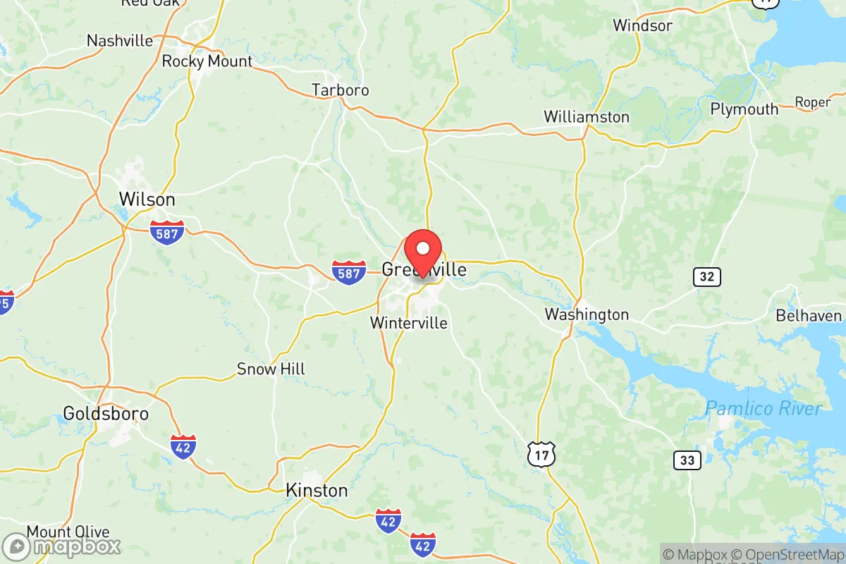
Pitt County, anchored by Greenville, offers a resilience profile that balances genuine geographic advantages with realistic exposures, making it a defensible option for relocators prioritizing preparedness without extreme isolation. The county sits in North Carolina’s Coastal Plain, roughly equidistant from the Atlantic coast and the I-95 corridor, providing moderate distance from both hurricane landfall zones and the denser metropolitan corridors of Raleigh and Richmond. Its position at the junction of the Tar River, US-264, and NC-11 gives residents multiple ground-transport options while keeping it far enough from major military-industrial targets to reduce—but not eliminate—strategic-vulnerability concerns.
Geographic position and natural advantages for self-sufficiency
Pitt County’s inland Coastal Plain location offers a middle-ground climate with all four seasons, sufficient rainfall (about 50 inches per year), and relatively flat terrain that simplifies gardening, livestock, and water catchment. The Tar River runs through Greenville and provides a surface water source, while the larger Pamlico Sound watershed frames the region. Soil in the county ranges from sandy loam to organic muck, well-suited for row crops—tobacco, soybeans, corn, and sweet potatoes are common, and dozens of working farms dot the landscape around towns like Farmville, Ayden, and Winterville. For a relocator, this means local food production is viable from Day One, with farmers’ markets and raw land still affordable relative to urban-fringe counties. The county also lies within a day’s drive of the Appalachian foothills, providing a secondary retreat option if coastal threats materialize.
Natural and man-made risks: hurricanes, flooding, and proximity to potential targets
Hurricanes remain the primary natural threat. Pitt County is roughly 80 miles inland from Atlantic Beach and Morehead City, which means strong tropical systems—like Hurricane Florence in 2018—can still drop catastrophic rainfall and produce hazardous storm-surge flooding along the Tar River and its tributaries. Greenville’s downtown is in a floodplain, and areas near the river in eastern Pitt County (including parts of Grifton and unincorporated stretches) have flooded multiple times in the last decade. Tornadoes are a secondary risk, though typically EF-0 to EF-2 strength. On the man-made side, Pitt County itself hosts no major refineries, nuclear plants, or large military bases, which is a resilience positive. However, two high-value targets sit within 60–75 miles: Marine Corps Base Camp Lejeune (to the southeast) and Marine Corps Air Station Cherry Point (east-southeast). Both are plausible strategic targets in a major conflict, and while Pitt County would not be a primary strike zone, fallout drift or secondary effects (evacuee surges, supply chain disruptions) are plausible scenarios. The nearby port of Morehead City, a strategic military resupply point, adds another nearby risk vector.
Practical resilience for a relocator: food, water, energy, and defensibility
Pitt County scores well on food security due to its agricultural base. Multiple u-pick farms, CSA operations, and local meat processors (including the Ayden-based Peter’s Smokehouse as an example) operate within 20 minutes of Greenville. Water availability is good: the Tar River provides a raw surface source, and private wells are common in rural parcels. Municipal water in Greenville is treated and reliable but susceptible to power outages during hurricanes; a backup generator and a cistern are prudent for anyone building a self-sufficient homestead. Energy infrastructure is decent but aging: Duke Energy serves the area, and power restoration after Hurricane Florence took up to two weeks in some rural stretches, meaning solar + battery backup is a worthwhile investment. For defensibility, Pitt County lacks natural choke points like mountains or dense forests, but the flat terrain and sparse population density east of Greenville make it possible to select a property with good fields of view and limited road access. The county has a strong, legally armed population and a sheriff’s office that is generally supportive of Second Amendment rights—factors that matter for a conservative-leaning relocator. Major evacuation routes (US-264 east to I-95 in Wilson, NC-11 north toward Roanoke Rapids) give multiple exit paths, though these can clog during hurricane evacuations.
The overall strategic picture for Pitt County is one of comfortable mediocrity—not a fortress, not a disaster zone. Its inland but coastal-adjacent position provides access to Atlantic trade and culture while avoiding the worst of storm surge. Its agricultural economy and affordable land give a self-starter a meaningful head start on food and water independence. The presence of military targets within an hour’s drive is a genuine risk, but not a disqualifying one, especially for relocators who build at least 15–20 miles east of Greenville’s center and stockpile accordingly. For a family or individual looking for a move that balances modern opportunity with a serious but not paranoid preparedness posture, Pitt County merits a close look—especially if you’re willing to invest in flood insurance, a backup power system, and a good set of county road maps.

* Values derived from national, state, county, city and local statistics and may differ in a specific area. Last updated: 2026-06-24T22:15:22.000Z
Narrative content on this page is AI-generated and may contain mistakes. Verify any details that matter before acting on them.
ReloMaps may earn a commission from affiliate links at no extra cost to you.

