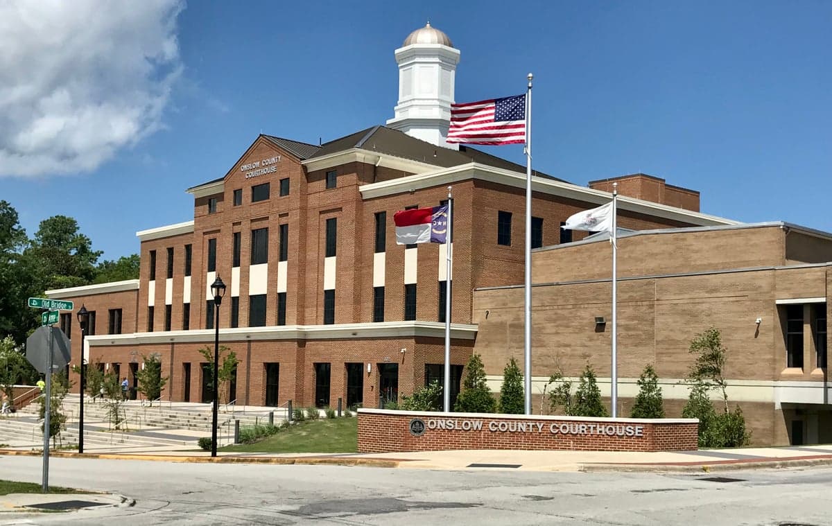
Photo: Wikipedia
Strategic Assessment of Onslow County
Multiple tactical vulnerabilities. Population density, target proximity, or disaster risk are likely compounding. A retreat property and exit planning is required.
What does the Strategic Assessment tell us?
Our Strategic Assessment grades tactical survivability of an area. Major population centers, military targets, fallout zones, natural disasters, and border exposure all drive risk — lower exposure means a more defensible position in a crisis.
This is heavily inspired by Joel Skousen's Strategic Relocation book. Highly recommended you checkout the book ($)What does this tell us?
Our Strategic Assessment grades tactical survivability of an area. Major population centers, military targets, fallout zones, natural disasters, and border exposure all drive risk — lower exposure means a more defensible position in a crisis.
This is heavily inspired by Joel Skousen's Strategic Relocation book. Highly recommended you checkout the book ($)Strategic Pillars

Key Distances
Strategic Assessment Analysis
Onslow County, anchored by Jacksonville and the massive Marine Corps Base Camp Lejeune, offers a strategic relocation option for those prioritizing resilience and self-sufficiency, balancing coastal access with inland buffer zones. Its position along the North Carolina coast provides natural resources and logistical advantages, while the county’s distance from major metropolitan targets like Washington D.C. or Atlanta reduces exposure to certain man-made risks. For a conservative-leaning audience focused on preparedness, Onslow County presents a mixed but workable profile: strong in community cohesion and military-grade infrastructure, but requiring careful site selection to mitigate hurricane and storm surge threats.
Geographic position and natural advantages for disaster readiness
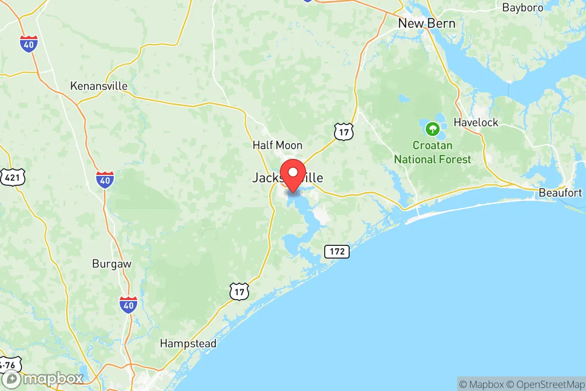
Onslow County’s geography is defined by its location along the Atlantic coast, with the New River cutting through the county and emptying into the Atlantic near Camp Lejeune. The county’s eastern edge includes barrier islands like Topsail Island and the town of North Topsail Beach, which offer maritime resources but are highly exposed to hurricanes. Inland areas, particularly around the county seat of Jacksonville and the towns of Richlands and Swansboro, sit on higher ground with better tree cover and access to freshwater from the New River and its tributaries. The county’s position roughly 120 miles southeast of Raleigh and 50 miles north of Wilmington places it outside the immediate fallout zones of major population centers, while still being within a day’s drive of critical supply routes like I-40 and US-17. The presence of Camp Lejeune means the area has robust road networks, a military-grade emergency response system, and a population accustomed to discipline and logistics—assets for any resilience-minded relocator. The county’s natural advantages include a moderate climate with a long growing season (zone 8a), ample rainfall averaging 55 inches annually, and diverse ecosystems from pine forests to salt marshes that support hunting, fishing, and foraging.
Risks, exposures, and proximity to fallout-relevant landmarks
The primary natural risk in Onslow County is hurricanes and tropical storms, with the region experiencing a direct hit roughly every 5-7 years. Storm surge from the Atlantic and the New River can inundate low-lying areas, particularly along the coast and within a mile of the river. The county’s location also places it within the path of nor’easters, which can bring prolonged flooding and power outages. For man-made risks, the most significant is the presence of Camp Lejeune itself—while the base provides security and resources, it is also a potential target for asymmetric threats or accidents involving military ordnance and fuel storage. The county is roughly 80 miles from the Brunswick Nuclear Plant near Southport, a potential fallout-relevant landmark, though prevailing winds typically carry any release offshore. Onslow County is not near major refinery corridors like Houston or large-scale chemical plants, which is a positive for those concerned about industrial accidents. However, the county’s proximity to the Port of Morehead City (about 30 miles northeast) and the rail lines running through Jacksonville means some risk of hazardous material transport incidents. For a relocator, the key is to avoid the coastal flood zones and the immediate vicinity of the base’s ammunition storage areas, focusing instead on inland properties near Richlands or the western part of the county.
Practical resilience for a relocator: food, water, energy, and defensibility
Onslow County offers strong practical resilience for those willing to invest in preparation. Food security is bolstered by local agriculture—the county has over 200 farms producing poultry, soybeans, corn, and livestock, with farmers’ markets in Jacksonville and Swansboro. The New River and Atlantic provide year-round fishing, and hunting for deer and wild hogs is common in the national forest lands to the west. Water access is excellent: the county sits atop the Castle Hayne aquifer, and many rural properties have private wells. For those on municipal water, Jacksonville’s system draws from the New River, but a backup well or rainwater catchment is advisable. Energy resilience is a mixed picture—the grid is vulnerable to hurricane outages, but the military presence means priority restoration for critical infrastructure. Solar potential is good (4.5-5 peak sun hours per day), and many homes in the county already use propane or wood for heating. Defensibility is where Onslow County shines: the population is heavily military-affiliated, with a high rate of firearm ownership and a culture of preparedness. The county’s layout—with Camp Lejeune acting as a buffer on the east, the Croatan National Forest to the north, and rural farmland to the west—creates natural chokepoints for any large-scale disruption. The town of Richlands, in particular, offers a defensible inland position with good road access to US-258 and NC-24, while being far enough from the coast to avoid storm surge. For a relocator, the practical steps include installing a whole-house generator, securing a well with a hand pump, and building relationships with local farmers and hunting clubs.
Overall, Onslow County presents a strategic picture that is favorable but requires careful site selection and preparation. Its strengths lie in community resilience, military-grade infrastructure, and natural resources, while its weaknesses are primarily coastal storm exposure and the inherent risks of living near a major military installation. For a conservative-leaning family or individual serious about self-sufficiency, the inland areas around Richlands, the western part of Jacksonville, or the rural stretches near the Pender County line offer the best balance of safety and access. The county’s culture of preparedness, combined with its moderate climate and abundant natural resources, makes it a viable option for those who are willing to put in the work—but it is not a “bug-out” location; it is a place to build a resilient life, not just wait out a crisis. The key takeaway: choose your specific neighborhood wisely, invest in hurricane hardening and backup systems, and integrate into the local community of like-minded residents. Onslow County rewards preparation but punishes complacency.

* Values derived from national, state, county, city and local statistics and may differ in a specific area. Last updated: 2026-07-02T10:10:28.000Z
Narrative content on this page is AI-generated and may contain mistakes. Verify any details that matter before acting on them.
ReloMaps may earn a commission from affiliate links at no extra cost to you.

