Photo: Wikipedia
Strategic Assessment of New Hanover County
Multiple tactical vulnerabilities. Population density, target proximity, or disaster risk are likely compounding. A retreat property and exit planning is required.
What does the Strategic Assessment tell us?
Our Strategic Assessment grades tactical survivability of an area. Major population centers, military targets, fallout zones, natural disasters, and border exposure all drive risk — lower exposure means a more defensible position in a crisis.
This is heavily inspired by Joel Skousen's Strategic Relocation book. Highly recommended you checkout the book ($)What does this tell us?
Our Strategic Assessment grades tactical survivability of an area. Major population centers, military targets, fallout zones, natural disasters, and border exposure all drive risk — lower exposure means a more defensible position in a crisis.
This is heavily inspired by Joel Skousen's Strategic Relocation book. Highly recommended you checkout the book ($)Strategic Pillars

Key Distances
Strategic Assessment Analysis
New Hanover County, anchored by the city of Wilmington, presents a mixed strategic picture for the relocation-minded reader focused on resilience and preparedness. Its position on the southeastern North Carolina coast offers significant geographic advantages in terms of distance from major geopolitical and industrial targets, but it also introduces distinct natural and logistical vulnerabilities that require careful consideration. For a single individual or family weighing long-term self-sufficiency and disaster readiness, the county’s value lies in its relative isolation from high-risk corridors while still maintaining access to critical infrastructure, though this balance is not without trade-offs.
Geographic position and natural advantages for long-term stability
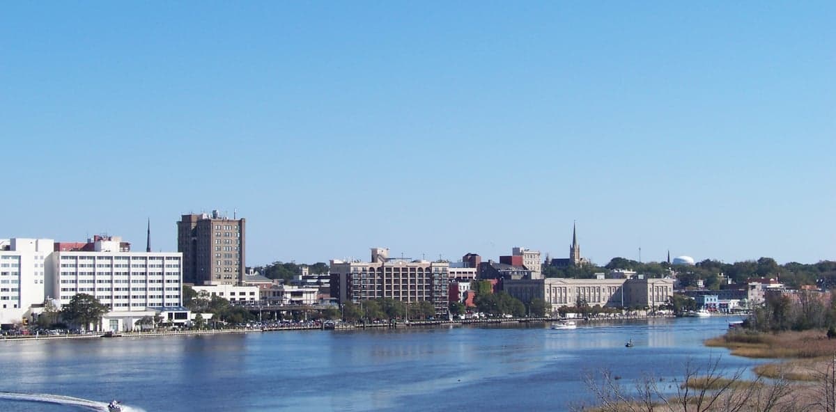
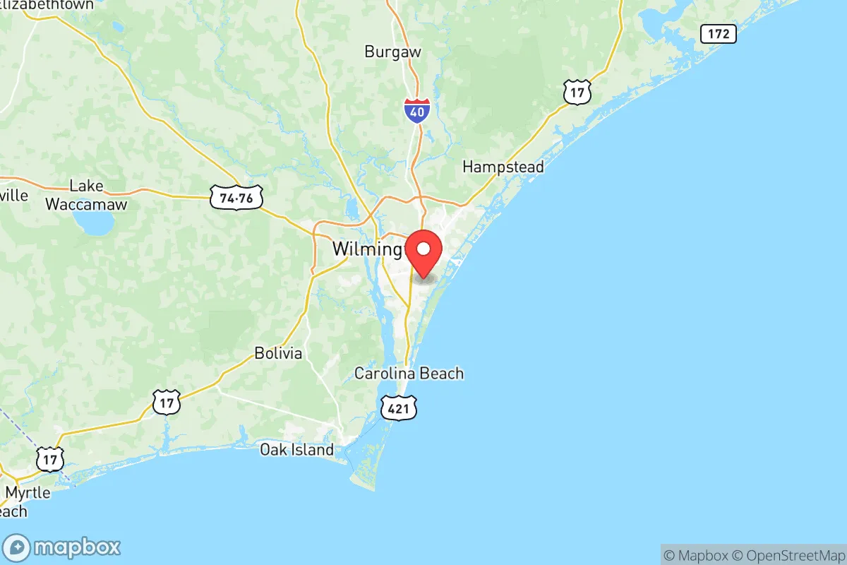
New Hanover County occupies a peninsula between the Cape Fear River and the Atlantic Ocean, a location that provides a natural buffer against many of the threats associated with inland population centers. The county is roughly 120 miles south of Raleigh and over 150 miles from the major military-industrial complex around Fayetteville and Fort Liberty (formerly Fort Bragg), placing it well outside the immediate fallout zones of those high-value targets. The Cape Fear River itself serves as a navigable waterway and a potential resource corridor, while the surrounding counties of Pender and Brunswick offer additional rural buffer space. The area’s climate is humid subtropical, with a growing season that supports year-round food production, and the region’s sandy soils and pine forests provide reasonable cover and natural resource availability. The proximity to the Intracoastal Waterway and the Port of Wilmington—a deepwater port handling containerized cargo and bulk goods—offers a logistical advantage for supply chain access, though this same infrastructure introduces a risk profile that must be weighed carefully.
Risks, exposures, and proximity to fallout-relevant landmarks
The most significant risk for New Hanover County is its exposure to Atlantic hurricane systems, which can bring catastrophic storm surge, flooding, and wind damage. Hurricane Florence in 2018 demonstrated this vulnerability, with widespread flooding across the county and prolonged power outages. Beyond natural hazards, the county contains several infrastructure points that could become liabilities in a crisis. The Port of Wilmington is a strategic asset but also a potential target for disruption, and the county is home to the GE Hitachi Nuclear Energy facility, which while not a reactor, is a major industrial site. The nearby Brunswick Nuclear Plant, located just across the Cape Fear River in Brunswick County, is a decommissioning facility that still contains spent fuel, representing a long-term hazard. Military activity is present through the Marine Corps’ Camp Lejeune, located roughly 50 miles north in Jacksonville, and the Sunny Point Military Ocean Terminal, a massive ammunition shipping port on the Cape Fear River in Brunswick County. These installations are high-value targets in any major conflict scenario, and their proximity—within 30 to 50 miles—places New Hanover County within a secondary fallout and disruption zone. The county’s reliance on two major bridges (the Cape Fear Memorial Bridge and the Isabel Holmes Bridge) for evacuation and supply routes is a critical chokepoint that could be compromised in a disaster.
Practical resilience for a relocator: food, water, energy, and defensibility
For a relocator focused on self-sufficiency, New Hanover County offers moderate practical resilience with notable caveats. The region’s agricultural capacity is real but limited by coastal soil salinity and development pressure; local farms in Pender and Columbus counties produce tobacco, corn, soybeans, and livestock, but the county itself is not a major food-producing area. Water access is a strength, with the Cape Fear River and numerous creeks and aquifers providing surface and groundwater, though contamination from upstream industrial sites (including the Chemours facility in Bladen County) has raised concerns about PFAS levels in the drinking water supply. Energy infrastructure is vulnerable: the county is served by Duke Energy, and the grid is exposed to storm damage, with underground utilities limited to newer developments. Solar adoption is growing but not yet widespread, and natural gas pipelines run through the region. Defensibility is a mixed picture—the peninsula geography creates natural chokepoints at the bridges and along the major highways (I-40, US-17, US-421), which could be advantageous for controlling access but also creates a trap if those routes are compromised. The county’s population density is moderate, with Wilmington proper at roughly 120,000 residents and the county total around 230,000, meaning rural and suburban areas offer more space for homesteading than the city core. The presence of multiple hospitals, including Novant Health New Hanover Regional Medical Center, provides medical infrastructure that is a clear asset in a crisis.
Overall, New Hanover County occupies a middle tier in a strategic relocation assessment. Its distance from high-value targets like Fort Liberty, the Raleigh-Durham metro, and the Norfolk naval complex is a genuine advantage, and the natural resource base—water, arable land, and maritime access—supports a reasonable degree of self-sufficiency. However, the hurricane risk, the proximity to military and nuclear infrastructure in the Cape Fear region, and the vulnerability of the transportation network mean that a relocator must invest in robust preparations: reinforced shelter, backup power, water filtration, and multiple evacuation routes. For a family or individual willing to accept the coastal weather trade-off and plan accordingly, the county offers a defensible, resource-accessible position that avoids the worst of the nation’s strategic vulnerabilities. It is not a bug-out location, but it is a viable long-term base for those who prioritize geographic isolation from primary targets over absolute safety from natural hazards.

* Values derived from national, state, county, city and local statistics and may differ in a specific area. Last updated: 2026-07-02T17:24:37.000Z
Narrative content on this page is AI-generated and may contain mistakes. Verify any details that matter before acting on them.
ReloMaps may earn a commission from affiliate links at no extra cost to you.

