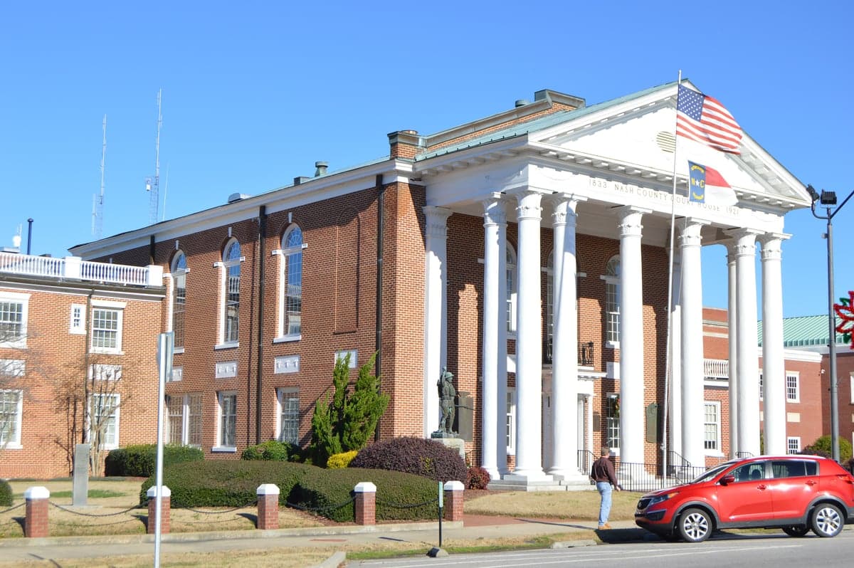
Photo: Wikipedia
Strategic Assessment of Nash County
Meaningful friction. Expect exposure to either population pressure, blast zones, or natural disaster risk. Consider buying a retreat property.
What does the Strategic Assessment tell us?
Our Strategic Assessment grades tactical survivability of an area. Major population centers, military targets, fallout zones, natural disasters, and border exposure all drive risk — lower exposure means a more defensible position in a crisis.
This is heavily inspired by Joel Skousen's Strategic Relocation book. Highly recommended you checkout the book ($)What does this tell us?
Our Strategic Assessment grades tactical survivability of an area. Major population centers, military targets, fallout zones, natural disasters, and border exposure all drive risk — lower exposure means a more defensible position in a crisis.
This is heavily inspired by Joel Skousen's Strategic Relocation book. Highly recommended you checkout the book ($)Strategic Pillars

Key Distances
Strategic Assessment Analysis
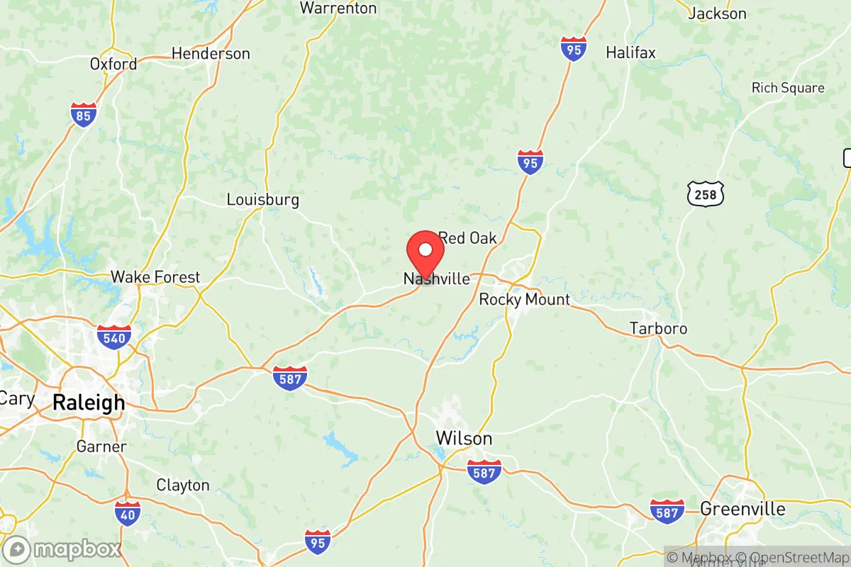
Nash County, North Carolina, offers a compelling strategic position for relocation-minded individuals and families who prioritize resilience and self-sufficiency, balancing proximity to major urban centers with a distinctly rural, defensible character. The county’s location along the I-95 corridor, roughly 45 miles east of Raleigh and 30 miles west of Greenville, places it within a two-hour drive of the Atlantic coast and the Port of Morehead City, yet far enough from dense metropolitan areas to avoid the worst fallout from a major disruption. Its agricultural base, modest population density, and access to the Tar River provide a foundation for practical preparedness, though the area is not without exposure to risks that demand careful consideration.
Geographic position and natural advantages for long-term stability
Nash County’s geography is defined by the gently rolling Piedmont terrain, which transitions into the Coastal Plain, offering a mix of fertile soil, hardwood forests, and reliable water sources. The county seat, Nashville, and the largest town, Rocky Mount, sit along the Tar River, a perennial waterway that flows into the Pamlico Sound. This river system, combined with numerous smaller creeks and farm ponds, gives the area a natural advantage for water security—a critical factor for any long-term resilience plan. The climate is humid subtropical, with average annual rainfall of about 48 inches, supporting year-round agriculture without the drought risks common in the West. The region’s elevation, ranging from 50 to 300 feet above sea level, largely spares it from storm surge, though inland flooding from hurricanes remains a periodic concern. The county’s position away from major fault lines and its distance from the coast (about 100 miles inland) reduce exposure to both seismic events and direct hurricane landfall, making it a relatively stable choice compared to coastal or tectonically active areas.
Risks, exposures, and proximity to fallout-relevant landmarks
While Nash County avoids the highest-risk zones, it is not immune to man-made and natural threats. The most significant exposure comes from its location along the I-95 corridor, a major transportation artery for hazardous materials, including chemical shipments and fuel tankers. A derailment or truck accident near Rocky Mount—a rail hub for CSX and Norfolk Southern—could disrupt local supply chains and pose a contamination risk. Additionally, the county lies within 50 miles of the Shearon Harris Nuclear Power Plant in Wake County, a facility that, while well-regulated, represents a potential fallout source in a worst-case scenario. The prevailing winds from the southwest mean that a release from Shearon Harris would likely push contamination toward the northeast, potentially affecting eastern Nash County. On the natural side, the area is prone to severe thunderstorms, tornadoes (with an average of 2-3 touchdowns per year), and occasional ice storms that can knock out power for days. The 2023 ice storm left over 10,000 residents without electricity for up to a week, highlighting the vulnerability of the aging grid. Proximity to the military installations of Fort Liberty (formerly Fort Bragg) in Fayetteville, about 90 miles southwest, and Marine Corps Base Camp Lejeune, about 100 miles southeast, adds a layer of security but also means the area could see increased military traffic or temporary disruptions during national emergencies.
Practical resilience for a relocator: food, water, energy, and defensibility
For someone serious about self-sufficiency, Nash County’s practical resilience is a mixed bag. On the positive side, the county is a major agricultural producer, with over 1,200 farms covering 200,000 acres. Row crops like soybeans, corn, and tobacco dominate, but there is a growing network of small-scale vegetable farms, orchards, and livestock operations, particularly around the towns of Spring Hope and Middlesex. Farmers’ markets in Rocky Mount and Nashville operate year-round, and the local food co-op in Rocky Mount provides access to bulk grains and preserved goods. Water access is strong: the Tar River is supplemented by the Rocky Mount Reservoir and numerous private wells, which are common in rural areas. However, well water quality varies, and testing for agricultural runoff (nitrates and pesticides) is advisable. Energy resilience is a weaker point. The grid is primarily served by Duke Energy, with a mix of natural gas, coal, and nuclear power. Solar adoption is growing but remains low compared to the West Coast, and backup generators are a wise investment for anyone moving here. Defensibility is a relative strength: the county’s low population density (about 200 people per square mile in rural areas) and network of back roads make it easier to secure a homestead than in suburban subdivisions. The terrain is open enough to provide good visibility but wooded enough to offer cover, and the lack of major strategic targets (no large military bases, refineries, or ports within the county) reduces the likelihood of being a direct target in a conflict scenario. That said, the I-95 corridor could become a chokepoint during an evacuation, so having multiple exit routes—like US-64 and US-301—is essential.
The overall strategic picture for Nash County is one of moderate resilience with clear trade-offs. It offers a solid base for a prepared relocator: abundant water, fertile land, and a location that balances access to urban resources with rural isolation. The risks—grid fragility, tornadoes, and proximity to a nuclear plant and a major highway—are manageable with planning, such as installing solar panels, storing food and water, and choosing a property away from floodplains and rail lines. For a family or individual looking to build a long-term, self-reliant lifestyle in the Southeast, Nash County is a practical choice that avoids the extremes of both coastal vulnerability and inland isolation. The key is to treat it as a starting point, not a fortress—a place where resilience is possible, but only with deliberate effort and a clear-eyed understanding of the area’s specific exposures.

* Values derived from national, state, county, city and local statistics and may differ in a specific area. Last updated: 2026-07-17T00:19:35.000Z
Narrative content on this page is AI-generated and may contain mistakes. Verify any details that matter before acting on them.
ReloMaps may earn a commission from affiliate links at no extra cost to you.

