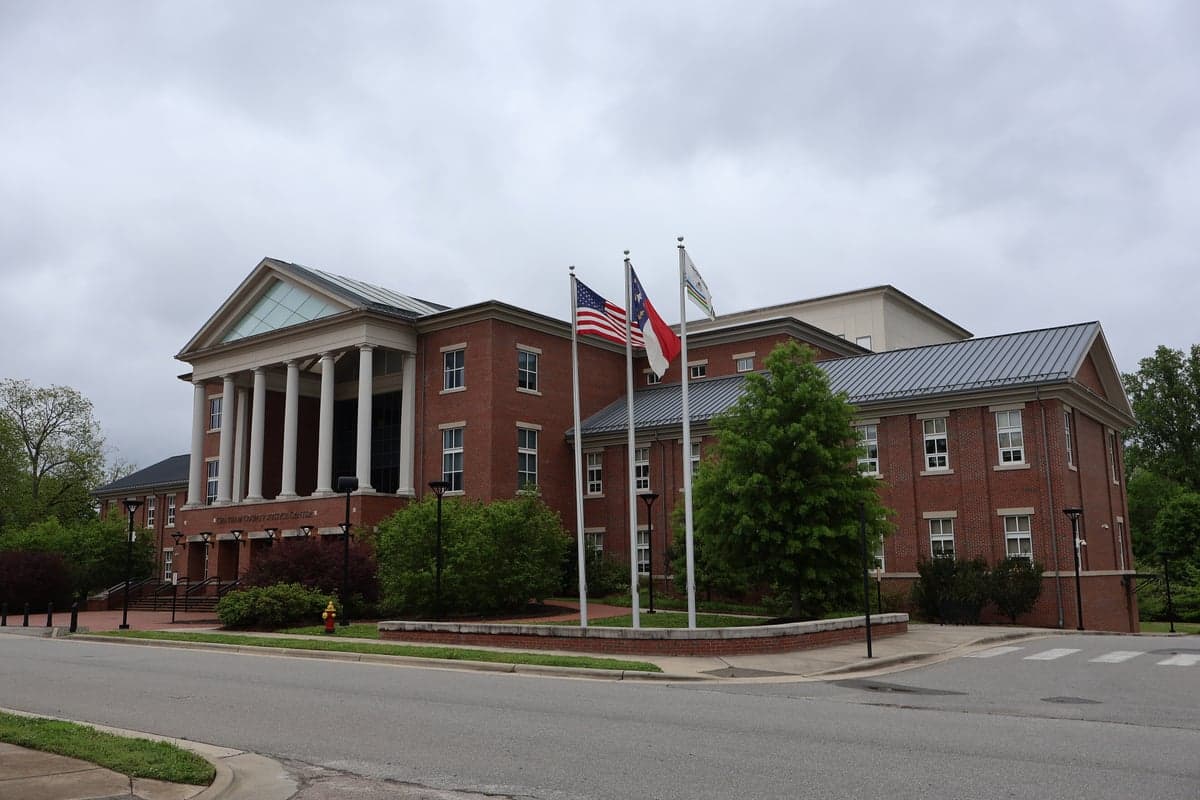
Photo: Wikipedia
Strategic Assessment of Chatham County
Workable tactical position. Some exposure to population density or targets, but generally defensible in a crisis.
What does the Strategic Assessment tell us?
Our Strategic Assessment grades tactical survivability of an area. Major population centers, military targets, fallout zones, natural disasters, and border exposure all drive risk — lower exposure means a more defensible position in a crisis.
This is heavily inspired by Joel Skousen's Strategic Relocation book. Highly recommended you checkout the book ($)What does this tell us?
Our Strategic Assessment grades tactical survivability of an area. Major population centers, military targets, fallout zones, natural disasters, and border exposure all drive risk — lower exposure means a more defensible position in a crisis.
This is heavily inspired by Joel Skousen's Strategic Relocation book. Highly recommended you checkout the book ($)Strategic Pillars

Key Distances
Strategic Assessment Analysis
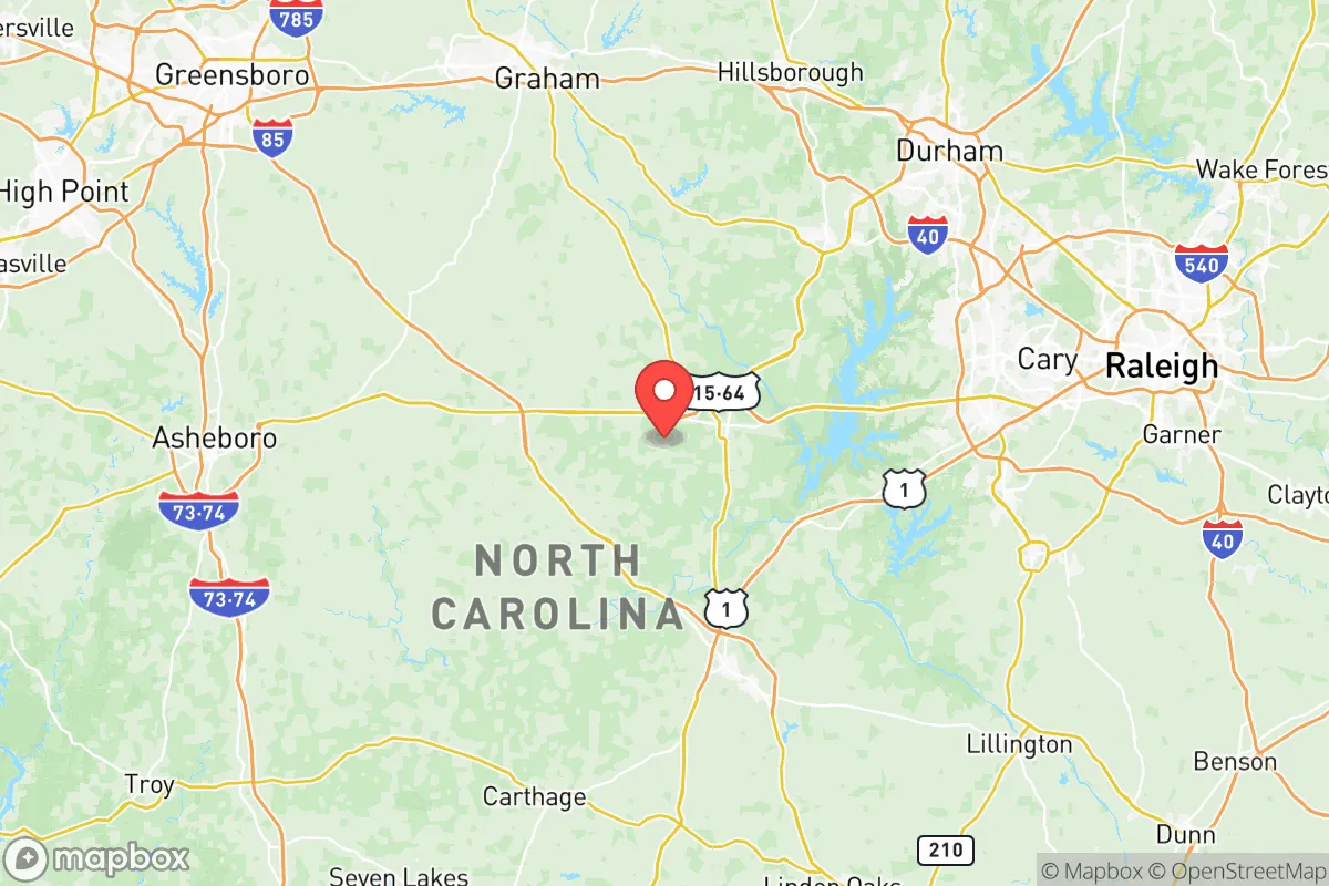
Chatham County, North Carolina, occupies a strategic middle ground that appeals to relocation-minded readers seeking both access to urban job markets and a buffer from concentrated risk. Located at the intersection of the Piedmont and the Coastal Plain, the county sits roughly equidistant from Raleigh, Durham, Chapel Hill, and Fayetteville, placing it within a 30- to 45-minute drive of three major metro areas while remaining distinctly rural in character. This positioning offers a resilience advantage: the county benefits from the economic and logistical resources of the Research Triangle region without being directly exposed to the fallout vulnerabilities of a dense urban core or a major military-industrial target.
Geographic position and natural advantages for long-term stability
Chatham County's geography provides several built-in resilience factors. The county straddles the Deep River and Haw River watersheds, with the Cape Fear River forming its eastern boundary, offering abundant surface water resources that are less contested than in drier parts of the state. The terrain is gently rolling Piedmont, with elevations ranging from roughly 200 to 700 feet above sea level, which provides natural drainage and reduces flood risk compared to coastal counties. The county seat, Pittsboro, sits on a ridge overlooking the Haw River, while the town of Siler City lies further west on higher ground. This topography also limits the spread of wildfire relative to forested mountain counties, as the landscape is a mosaic of hardwood forests, farmland, and pine plantations. For a relocator thinking about self-sufficiency, the county's 260,000+ acres of agricultural land—much of it in row crops, pasture, and timber—represent a tangible food-production buffer that many suburban counties lack.
Risks, exposures, and proximity to fallout-relevant landmarks
While Chatham County avoids the highest-risk zones, it is not without exposure. The most significant man-made risk comes from the Shearon Harris Nuclear Plant, located just across the county line in Wake County, roughly 10 miles northeast of Pittsboro. This facility is a single-unit pressurized water reactor that began commercial operation in 1987; while its safety record is solid, its proximity means that a major incident could affect eastern Chatham County, particularly areas along US-1 and the Haw River corridor. Additionally, the county lies within roughly 60 miles of Fort Liberty (formerly Fort Bragg), one of the largest military installations in the world by population, and within 70 miles of Marine Corps Base Camp Lejeune. These bases are potential targets in a conflict scenario, and while Chatham County is far enough to avoid a direct blast zone, fallout patterns could affect the area depending on wind direction. On the natural-disaster side, the county is inland enough to avoid the worst of hurricane storm surge, but it has experienced significant flooding events—notably from Hurricanes Fran (1996), Floyd (1999), and Matthew (2016)—particularly along the Haw and Deep Rivers near Moncure and the Gulf community. Tornado risk is moderate, with the county averaging 2-3 tornado warnings per year, typically in the spring and early summer.
Practical resilience for a relocator: food, water, energy, and defensibility
For a reader serious about self-sufficiency, Chatham County offers a strong practical baseline. The county's agricultural sector is diverse and locally accessible: there are over 30 active farms selling directly to consumers through farmers' markets in Pittsboro, Siler City, and the unincorporated community of Goldston, plus a growing network of CSAs and farm stands. The Haw River and its tributaries provide reliable water sources for those with well access, and the county's average annual rainfall of 47 inches means that rainwater catchment systems are viable. On the energy front, Duke Energy's grid serves the county, but the rural character means that many properties already rely on propane, heating oil, or wood for heating, which provides a degree of energy independence. Solar potential is good, with the county receiving an average of 4.5 peak sun hours per day, and there are no county-level restrictions on residential solar installations. Defensibility is a mixed picture: the county's road network is sparse outside the US-64 and US-421 corridors, which can be an advantage for those seeking seclusion but a liability for evacuation. The towns of Pittsboro and Siler City each have a police department, but the county relies heavily on the Chatham County Sheriff's Office for rural law enforcement, with response times in remote areas often exceeding 20 minutes. For a relocator, the sweet spot is often the western half of the county, around the Bear Creek and Silk Hope communities, where property sizes are larger, road density is lower, and proximity to the nuclear plant is minimized.
The overall strategic picture for Chatham County is one of moderate-to-strong resilience with clear trade-offs. It offers a rare combination: proximity to the economic engine of the Research Triangle, a robust agricultural base, ample water resources, and a topography that mitigates many natural disaster risks. The primary liabilities are the Shearon Harris nuclear plant to the northeast and the potential for fallout from military targets to the southeast, though both risks are manageable with proper planning—particularly for those who choose a property in the western half of the county. For a relocator who values a balance of access and buffer, and who is willing to invest in well water, solar, and food storage, Chatham County ranks as one of the more viable options in the Piedmont region. It is not a bug-out location in the remote sense, but it is a defensible, resource-rich base from which to operate in an uncertain future.

* Values derived from national, state, county, city and local statistics and may differ in a specific area. Last updated: 2026-11-15T05:38:17.000Z
Narrative content on this page is AI-generated and may contain mistakes. Verify any details that matter before acting on them.
ReloMaps may earn a commission from affiliate links at no extra cost to you.

