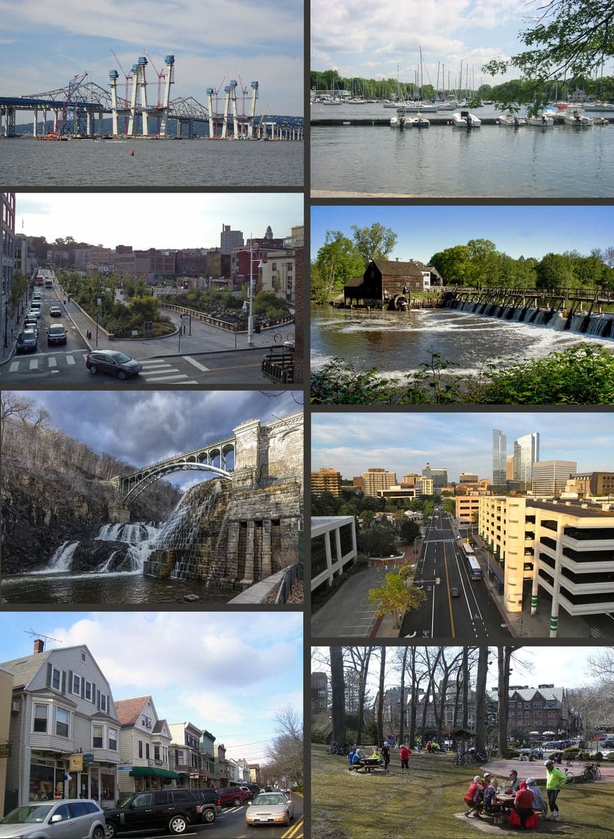
Photo: Wikipedia
Strategic Assessment of Westchester County
Multiple tactical vulnerabilities. Population density, target proximity, or disaster risk are likely compounding. A retreat property and exit planning is required.
What does the Strategic Assessment tell us?
Our Strategic Assessment grades tactical survivability of an area. Major population centers, military targets, fallout zones, natural disasters, and border exposure all drive risk — lower exposure means a more defensible position in a crisis.
This is heavily inspired by Joel Skousen's Strategic Relocation book. Highly recommended you checkout the book ($)What does this tell us?
Our Strategic Assessment grades tactical survivability of an area. Major population centers, military targets, fallout zones, natural disasters, and border exposure all drive risk — lower exposure means a more defensible position in a crisis.
This is heavily inspired by Joel Skousen's Strategic Relocation book. Highly recommended you checkout the book ($)Strategic Pillars

Key Distances
Strategic Assessment Analysis
Westchester County offers a nuanced strategic position for relocation-minded individuals and families who prioritize resilience, balancing proximity to New York City’s economic engine with a geography that provides meaningful buffers against both natural and man-made disruptions. Its location north of the Bronx, straddling the Hudson River and Long Island Sound, gives residents access to diverse evacuation routes, varied terrain, and a mix of suburban and semi-rural zones that support a degree of self-sufficiency uncommon so close to a major metropolis. For a conservative-leaning audience weighing disaster readiness, Westchester’s combination of established infrastructure, water resources, and defensible neighborhoods makes it a serious contender—provided one understands its specific exposures and plans accordingly.
Geographic position and natural advantages for disaster resilience
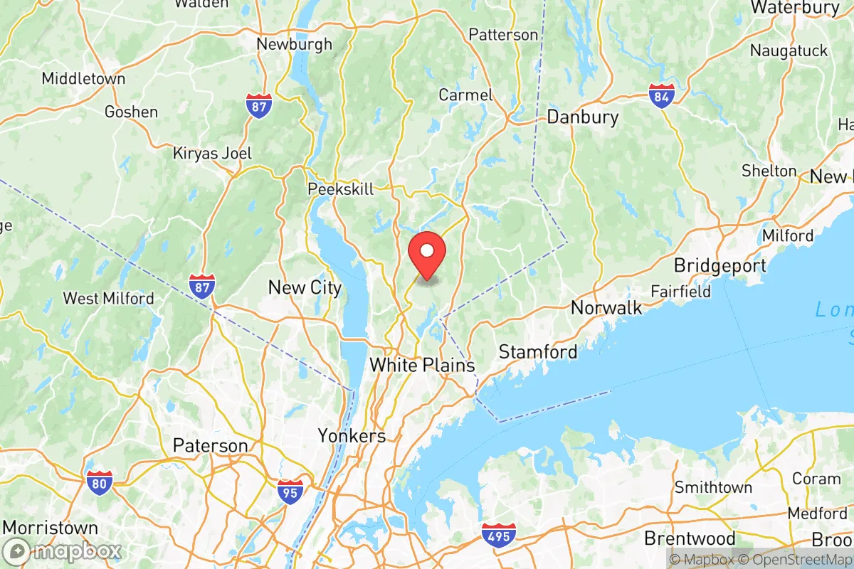
Westchester’s geography is its strongest asset for resilience. The county sits on a hilly, wooded landscape that rises from sea level along the Sound to elevations over 400 feet in the northern towns like Yorktown and Somers. This topography provides natural drainage and reduces flood risk compared to coastal areas, though low-lying communities along the Hudson—such as Sleepy Hollow and Tarrytown—face storm surge threats from nor’easters and hurricanes. The county’s position roughly 25 miles north of Manhattan places it outside the immediate blast and fallout zone of a nuclear event targeting New York City, while still close enough to leverage the city’s medical and logistical resources if they remain functional. The Hudson River and the New York City water supply system, which draws from the Catskill and Delaware watersheds, offer abundant fresh water; Westchester’s reservoirs, including the Kensico and Cross River reservoirs, provide local storage that reduces dependence on municipal systems. For evacuation, the county is served by multiple north-south arteries—the Saw Mill River Parkway, the Taconic State Parkway, and I-684—as well as east-west routes like I-287 and the Bear Mountain Bridge, offering redundancy if one corridor is compromised. The presence of Westchester County Airport (HPN) in White Plains adds an aviation option for rapid egress, though it is a single-runway facility with limited capacity during a crisis.
Risks, exposures, and proximity to fallout-relevant landmarks
Westchester’s proximity to New York City is a double-edged sword. The county lies within the fallout plume zone for a ground-level nuclear detonation in Manhattan, with prevailing winds typically carrying radioactive debris northeast toward Mount Vernon, New Rochelle, and southern Westchester. The Indian Point Energy Center, a now-decommissioned nuclear plant in Buchanan, remains a legacy risk: while its reactors are permanently shut, spent fuel is stored on-site in dry casks, and a terrorist attack or accident could release radiation affecting communities within a 10-mile radius, including Peekskill and Cortlandt. The county also hosts several high-value targets: the United States Military Academy at West Point lies just across the Hudson in Orange County, and the Tappan Zee Bridge (officially the Governor Mario M. Cuomo Bridge) is a critical infrastructure link that could be a target or chokepoint. Industrial hazards include chemical storage facilities along the Hudson River waterfront and the New York City water supply tunnels that run through the county, which could be vulnerable to sabotage. Natural risks are less severe but real: the county sits in a moderate seismic zone (rare but possible earthquakes), and inland flooding from heavy rain events has increased in frequency, particularly in communities like Mamaroneck and Scarsdale that have aging stormwater systems. Hurricanes, while infrequent, can bring sustained winds and storm surge to coastal areas; Superstorm Sandy in 2012 caused widespread power outages and flooding in southern Westchester, with some areas without electricity for over a week.
Practical resilience for a relocator: food, water, energy, and defensibility
For a family or individual serious about self-sufficiency, Westchester offers a mixed picture. Water security is strong: the county’s reservoirs and groundwater wells provide redundancy, and many homes in northern towns have private wells that operate independently of municipal systems. However, reliance on electric pumps means a backup generator or hand pump is essential for sustained off-grid use. Food resilience is moderate: the county has a robust network of farmers’ markets, community gardens, and CSAs, particularly in Bedford, Katonah, and Pound Ridge, but large-scale agriculture is limited. Most food is trucked in via I-95 and the New York State Thruway, meaning supply chain disruptions could empty grocery shelves within 48 hours. Home gardening is feasible on quarter-acre lots, and deer hunting is permitted in some areas, but protein self-sufficiency requires planning. Energy resilience is a weakness: the county’s power grid is aging and prone to outages during storms, with underground utilities limited to wealthier neighborhoods. Solar panels with battery storage are increasingly common in towns like Chappaqua and Armonk, but natural gas is the primary heating fuel, and propane tanks are not universal. Defensibility varies by location: the hilly terrain and winding roads of northern Westchester create natural chokepoints, but the county’s dense suburban development in the south—with its interconnected streets and high population density—makes it difficult to secure a perimeter. Rural properties in North Salem or Lewisboro offer greater isolation and line-of-sight advantages, but they also require longer travel times to supply points. The county’s law enforcement presence is robust, with the Westchester County Police and local departments providing a visible deterrent, but during a widespread crisis, response times would lengthen significantly.
Overall, Westchester County presents a viable but conditional strategic option for the resilience-minded relocator. Its geographic buffers, water resources, and evacuation routes are genuine advantages, but its proximity to New York City and legacy nuclear infrastructure introduce risks that cannot be ignored. The county is best suited for those who can afford a property in the northern, less-dense towns, invest in off-grid energy and water systems, and maintain a low profile in a region that will inevitably draw attention during a crisis. For families willing to trade some isolation for access to world-class medical care and supply chains, Westchester offers a balanced middle ground—but it demands active preparation, not passive reliance on its natural strengths.

* Values derived from national, state, county, city and local statistics and may differ in a specific area. Last updated: 2026-06-20T16:20:27.000Z
Narrative content on this page is AI-generated and may contain mistakes. Verify any details that matter before acting on them.
ReloMaps may earn a commission from affiliate links at no extra cost to you.

