Photo: Wikipedia
Strategic Assessment of Rockland County
Multiple tactical vulnerabilities. Population density, target proximity, or disaster risk are likely compounding. A retreat property and exit planning is required.
What does the Strategic Assessment tell us?
Our Strategic Assessment grades tactical survivability of an area. Major population centers, military targets, fallout zones, natural disasters, and border exposure all drive risk — lower exposure means a more defensible position in a crisis.
This is heavily inspired by Joel Skousen's Strategic Relocation book. Highly recommended you checkout the book ($)What does this tell us?
Our Strategic Assessment grades tactical survivability of an area. Major population centers, military targets, fallout zones, natural disasters, and border exposure all drive risk — lower exposure means a more defensible position in a crisis.
This is heavily inspired by Joel Skousen's Strategic Relocation book. Highly recommended you checkout the book ($)Strategic Pillars

Key Distances
Strategic Assessment Analysis
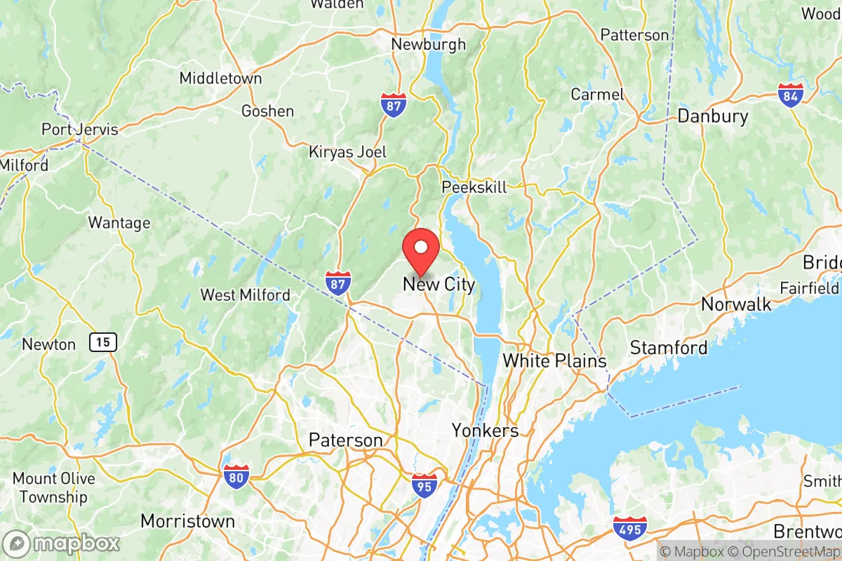
Rockland County, New York, offers a compelling strategic position for relocators prioritizing resilience and self-sufficiency, balancing proximity to New York City with distinct geographic advantages that reduce exposure to many urban risks. Located just 20 miles north of Manhattan, the county sits on the western bank of the Hudson River, bordered by the Palisades cliffs and the Ramapo Mountains, providing natural barriers that slow urban sprawl and offer defensible terrain. Its location away from major industrial corridors—like New Jersey’s refinery row or Long Island’s power plants—means fewer high-value targets nearby, while its access to the Hudson River and major highways (I-87, I-287, and the Palisades Interstate Parkway) ensures both isolation and connectivity. For a conservative-leaning audience focused on disaster readiness, Rockland County presents a balanced mix of rural character, suburban infrastructure, and strategic depth that warrants serious consideration.
Geographic position and natural advantages for disaster resilience
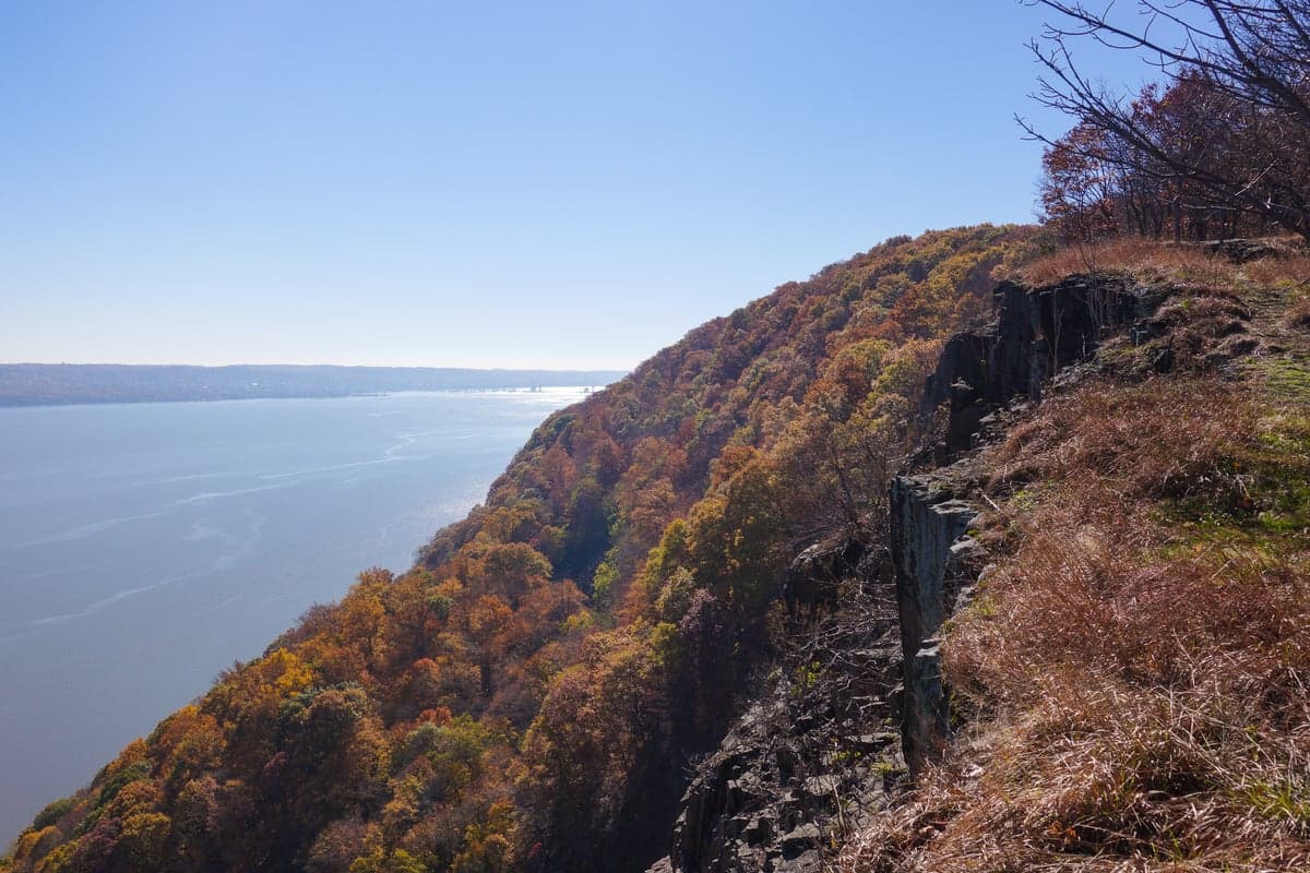
Rockland County’s geography is its strongest asset for resilience. The county is defined by the Hudson River to the east, the Ramapo Mountains to the west, and the Palisades cliffs along the eastern edge, creating a natural fortress that limits access from multiple directions. The Palisades Interstate Park runs along the river, offering 30 miles of protected green space that acts as a buffer against development and provides emergency resources like firewood and game. The Ramapo Mountains in the western towns of Ramapo and Stony Point rise to over 1,200 feet, offering elevated terrain that reduces flood risk and provides vantage points for monitoring threats. The county’s position north of New York City means prevailing winds from the west and southwest would carry fallout from a Manhattan event away from most of Rockland, while the Hudson River itself serves as a natural barrier to ground-based threats from the east. The Bear Mountain Bridge and Tappan Zee Bridge (Governor Mario M. Cuomo Bridge) are the only major river crossings, making them chokepoints that could be controlled or closed in a crisis. The county’s 174 square miles include significant forested areas in Harriman State Park and Bear Mountain State Park, which together cover over 50,000 acres of protected land, offering both resources and retreat options.
Risks, exposures, and proximity to fallout-relevant landmarks
While Rockland County avoids the worst of New York City’s direct risks, it is not immune to man-made threats. The county lies roughly 25 miles from Indian Point Energy Center in Buchanan, a decommissioned nuclear power plant that still stores spent fuel on site—a potential target for sabotage or accident. The West Point Military Academy is just 10 miles north across the river in Orange County, a high-value military installation that could draw attention in a conflict. The New York City metropolitan area, with its financial district, ports, and airports, is a primary target for any large-scale attack, and Rockland’s proximity means it would face fallout, refugee flows, and supply chain disruptions. The county’s own infrastructure—including the Rockland County Sewer District and the Nyack Hospital—is concentrated in the eastern corridor near the river, making it vulnerable to flooding from storm surges or Hudson River overflow. Natural risks are moderate: the county sits in a low-seismic zone, but the Ramapo Fault runs through the western edge, capable of producing minor earthquakes. Flooding is the primary natural hazard, particularly in low-lying areas like Nyack, Piermont, and Haverstraw along the Hudson, where storm surges from hurricanes (like Sandy in 2012) can inundate homes and roads. Wildfire risk is low due to the region’s humid climate, but the dense forests of Harriman State Park could pose a threat during prolonged droughts.
Practical resilience for a relocator: food, water, energy, and defensibility
For a relocator focused on self-sufficiency, Rockland County offers solid but not exceptional practical resilience. Water access is excellent: the county draws from the Rockland County Water District, which sources from the Lake DeForest Reservoir in the western town of Clarkstown, a 1.2-billion-gallon reservoir that provides backup supply for weeks. Many homes in rural areas like Pomona and Suffern have private wells, offering independence from municipal systems. The Hudson River itself is a massive water source, though it requires filtration and treatment due to industrial pollution upstream. Food security is moderate: the county has over 20 farms, concentrated in the western towns of Ramapo and Stony Point, producing apples, vegetables, and livestock, but local agriculture meets only a fraction of the population’s needs. The Rockland County Farmers’ Market in New City and smaller markets in Nyack provide seasonal produce, but year-round food storage and gardening are essential for serious preparedness. Energy infrastructure is a vulnerability: the county relies on the regional grid fed by Con Edison and Orange and Rockland Utilities, with power lines running through wooded areas that are prone to storm damage. Solar adoption is growing but still low—about 5% of homes have panels—and backup generators are common in suburban homes but not universal. Natural gas is available in most towns, but propane tanks are standard in rural areas. Defensibility is strong: the county’s terrain—with the Palisades to the east, mountains to the west, and the Hudson to the north—creates natural chokepoints. The Palisades Interstate Parkway and Route 9W are the primary north-south routes, both easily blocked or monitored. The Ramapo Pass near Suffern is the only major western exit, a narrow corridor that could be defended. The county’s population density (about 330,000 people) is low enough to avoid the chaos of a city evacuation but high enough to create competition for resources in a crisis. The Rockland County Sheriff’s Office and local police departments are well-funded, but in a major event, state and federal resources would be stretched thin.
Overall, Rockland County presents a strong strategic picture for a relocator who values proximity to urban resources without the direct risks of living in a major target zone. Its natural barriers, water access, and defensible terrain make it one of the better options in the New York metropolitan area for disaster readiness. The key trade-offs are its moderate food self-sufficiency, reliance on the regional power grid, and exposure to refugee flows from New York City in a crisis. For a family or individual willing to invest in solar panels, a well, and food storage, Rockland County offers a balanced mix of security and access that few suburban counties can match. The towns of Stony Point, Pomona, and Suffern are particularly well-suited for resilience, with rural character, elevation, and proximity to state parks. For those who prioritize being close to family, jobs, or medical facilities in the Northeast while maintaining a serious preparedness posture, Rockland County is a solid choice—but it is not a remote survival retreat. It is a suburban fortress with a view of the city, and that view comes with both advantages and liabilities.

* Values derived from national, state, county, city and local statistics and may differ in a specific area. Last updated: 2026-06-18T01:42:31.000Z
Narrative content on this page is AI-generated and may contain mistakes. Verify any details that matter before acting on them.
ReloMaps may earn a commission from affiliate links at no extra cost to you.

