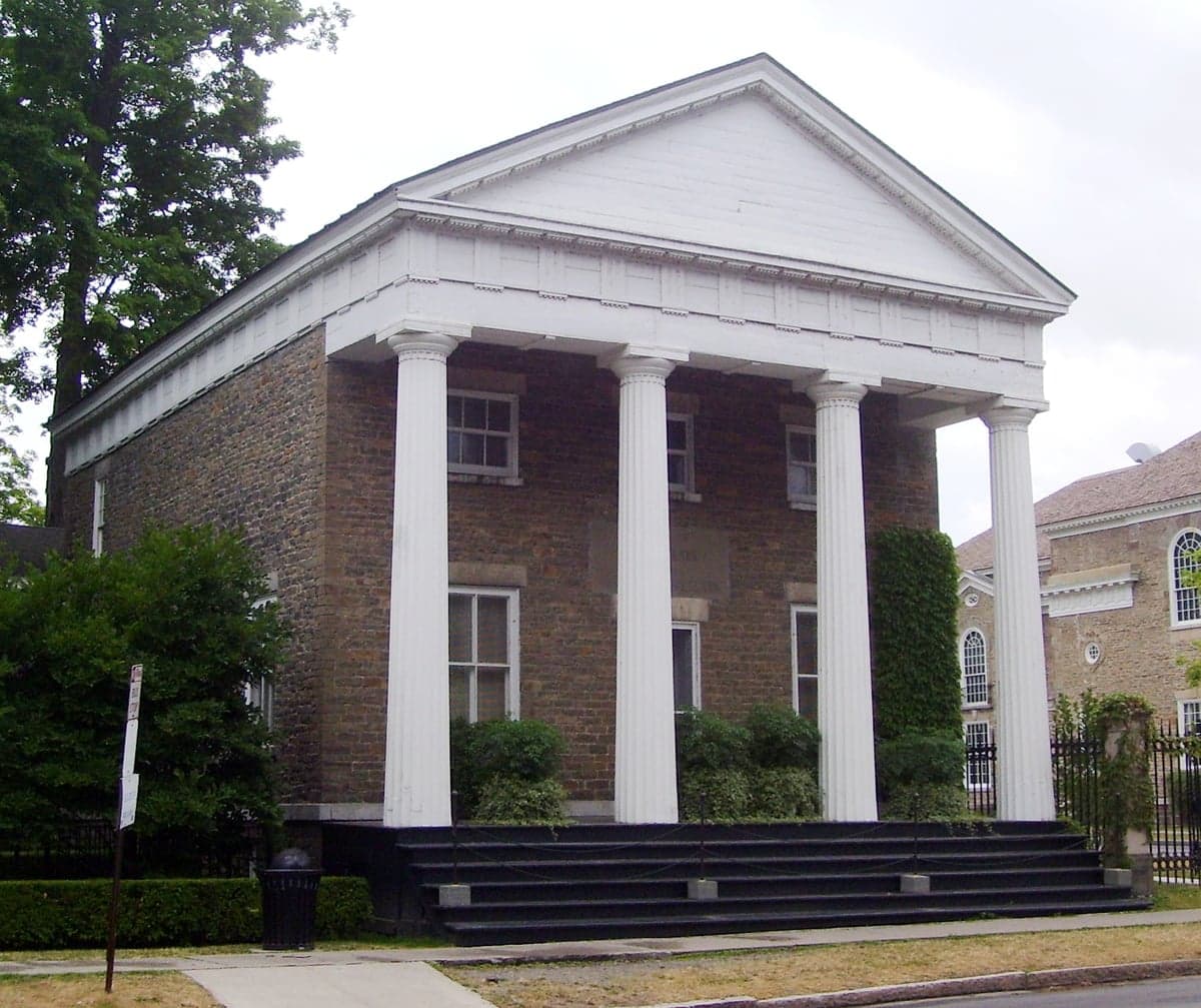
Photo: Wikipedia
Strategic Assessment of Otsego County
Meaningful friction. Expect exposure to either population pressure, blast zones, or natural disaster risk. Consider buying a retreat property.
What does the Strategic Assessment tell us?
Our Strategic Assessment grades tactical survivability of an area. Major population centers, military targets, fallout zones, natural disasters, and border exposure all drive risk — lower exposure means a more defensible position in a crisis.
This is heavily inspired by Joel Skousen's Strategic Relocation book. Highly recommended you checkout the book ($)What does this tell us?
Our Strategic Assessment grades tactical survivability of an area. Major population centers, military targets, fallout zones, natural disasters, and border exposure all drive risk — lower exposure means a more defensible position in a crisis.
This is heavily inspired by Joel Skousen's Strategic Relocation book. Highly recommended you checkout the book ($)Strategic Pillars

Key Distances
Strategic Assessment Analysis
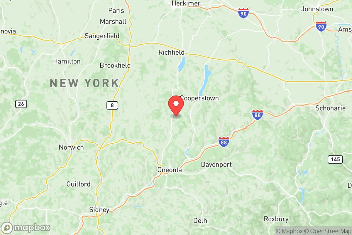
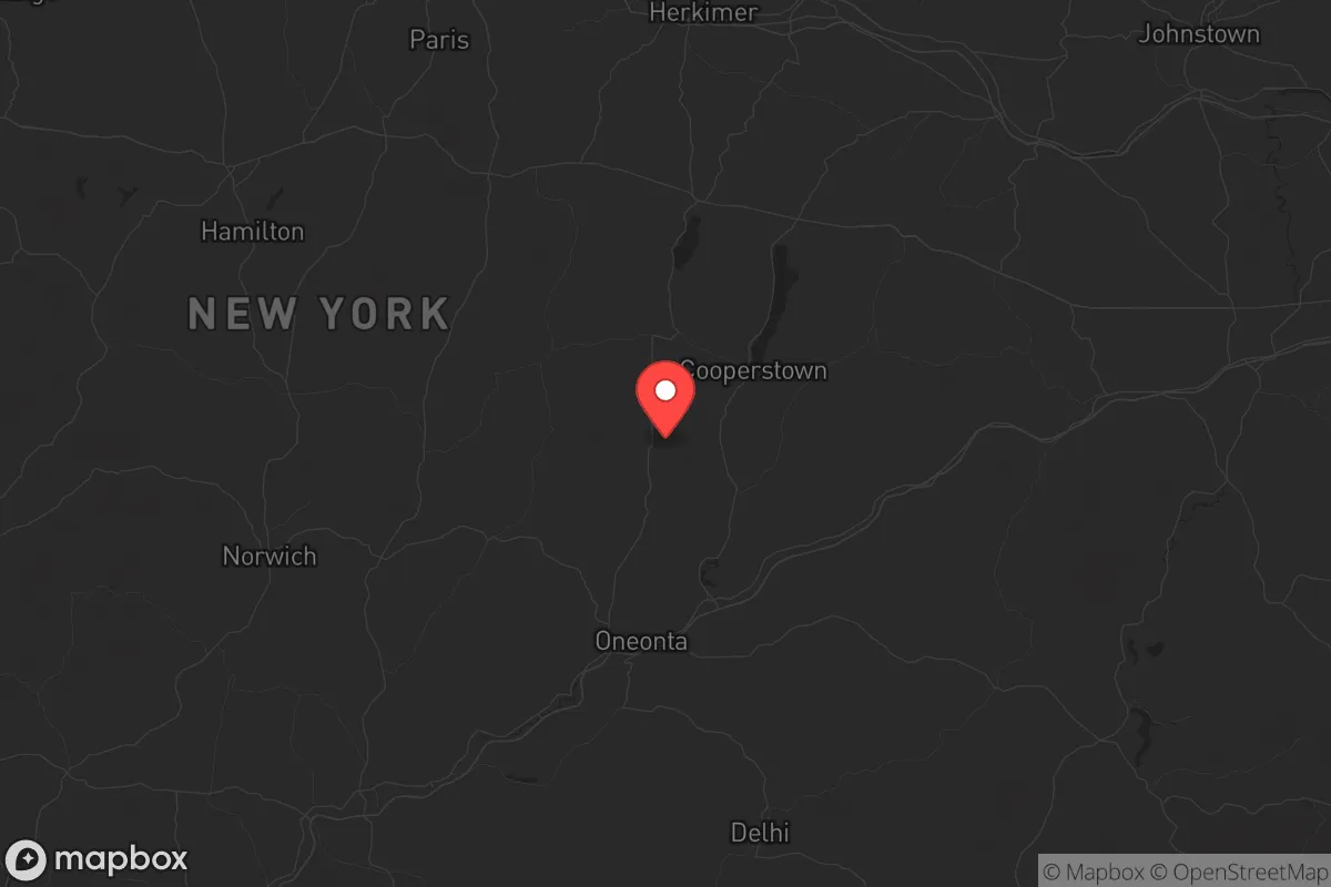
Otsego County, New York, offers a compelling strategic profile for the relocation-minded reader prioritizing resilience and self-sufficiency, largely because it sits in a sweet spot of geographic isolation without being inaccessible. Located in the central Leatherstocking Region, the county is roughly equidistant from the major population centers of Albany (75 miles east), Syracuse (90 miles west), and Binghamton (60 miles south), placing it far enough from any single metropolitan target to avoid the worst of a potential man-made event, yet close enough for supply runs or medical access. The county seat of Cooperstown, home to the National Baseball Hall of Fame, anchors a region of rolling hills, dairy farms, and the headwaters of the Susquehanna River, giving it a distinct rural character that supports a baseline of agricultural and hydrological self-reliance.
Geographic position and natural advantages for long-term stability
Otsego County’s primary strategic asset is its position within the Appalachian Plateau, a region of steep hills, deep valleys, and dense hardwood forests that naturally limits large-scale development and provides inherent defensibility. The county’s 1,003 square miles are sparsely populated—roughly 60,000 residents—with the largest concentrations in the villages of Oneonta (pop. ~13,000) and Cooperstown (pop. ~1,800). This low population density means less competition for resources in a crisis and fewer chokepoints on the road network. The Susquehanna River, which rises from Otsego Lake in Cooperstown, provides a reliable freshwater artery, while dozens of smaller creeks and glacial lakes offer distributed water sources. The terrain itself is a natural barrier: the county’s hills, many exceeding 2,000 feet, create microclimates that moderate temperature extremes and reduce the risk of wildfire spread compared to flatter, drier regions. For a relocator, the key takeaway is that Otsego County is not a corridor—it’s a destination, meaning through-traffic from coastal evacuation routes is minimal, reducing the risk of being caught in a mass exodus.
Risk exposure and proximity to fallout-relevant landmarks
While Otsego County avoids the immediate shadow of major strategic targets, it is not immune to secondary risks. The most significant man-made exposure comes from the Nine Mile Point Nuclear Generating Station and the James A. FitzPatrick Nuclear Power Plant, both located in Oswego County roughly 110 miles northwest. In a worst-case scenario, prevailing westerly winds could carry fallout across the Mohawk Valley toward Otsego County, though the distance and intervening hills provide substantial attenuation. Closer to home, the county sits within 50 miles of the Griffiss Air Force Base in Rome (Oneida County), a decommissioned Strategic Air Command base now used for defense research and the Eastern Air Defense Sector—a potential secondary target. The county also lies within 100 miles of the Albany-Schenectady-Troy metropolitan area, which contains the Port of Albany (a major transshipment point for petroleum and grain) and the Knolls Atomic Power Laboratory, both plausible targets. On the natural hazard front, Otsego County’s primary risk is flooding along the Susquehanna River and its tributaries, particularly in low-lying areas of Oneonta and Cooperstown; the 2006 and 2011 floods caused significant damage. Tornadoes are rare but not unheard of, and winter storms can drop 60-80 inches of snow annually, which is a logistical challenge but also a water security asset. For the strategic reader, the calculus is favorable: the county is far enough from high-value targets to avoid direct blast or thermal effects, and the fallout risk is moderate and directional, not omnipresent.
Practical resilience for a relocator: food, water, energy, and defensibility
Otsego County’s practical resilience is anchored in its agricultural base and decentralized infrastructure. The county has over 400 farms, primarily dairy, but also significant acreage in hay, corn, and vegetables, plus a growing number of small-scale orchards and maple syrup operations. The Cooperstown Farmers’ Market and Oneonta’s Main Street Market operate year-round, and the region’s farm-to-table culture means local food networks are already established, not theoretical. For a relocator looking to grow their own food, the growing season is short (roughly 140 frost-free days) but the soil in the river valleys is fertile, and the hillsides support perennial crops like apples and berries. Water is abundant: Otsego Lake alone holds 2.5 billion gallons, and most rural properties have access to private wells or springs. The county’s water table is generally high, and the Susquehanna River basin is one of the most water-rich in the Northeast. Energy resilience is mixed. The grid is served by National Grid and New York State Electric & Gas, with power outages common during winter storms (typically 4-8 hours, occasionally 2-3 days). However, the county’s forest cover provides ample biomass for wood heat, and the hills offer good sites for small-scale solar or micro-hydro. The county has no natural gas pipelines of strategic significance, which reduces the risk of infrastructure-targeted disruption. Defensibility is strong: the terrain creates natural chokepoints on the two main highways (I-88 and NY-28), and the many dead-end roads and dirt tracks in the northern and eastern townships offer multiple retreat options. The county’s small-town character—with local governments in Richfield Springs, Cherry Valley, and Worcester—means that community ties are tight, and mutual aid networks are more organic than in suburban subdivisions. The main weakness is medical access: the county’s only hospital, Bassett Medical Center in Cooperstown, is a top-tier rural facility, but trauma care for severe injuries may require a 90-minute transport to Albany or Syracuse.
For the relocator weighing strategic options in the Northeast, Otsego County presents a balanced profile: it avoids the extreme isolation of the Adirondacks (which can become a trap in winter) while sidestepping the vulnerability of the Hudson Valley corridor. Its agricultural capacity, water abundance, and low population density make it one of the more self-sufficient counties in New York, and its distance from primary targets—combined with the shielding effect of the Appalachian Plateau—gives it a resilience edge over flatter, more exposed regions. The trade-offs are real: a shorter growing season, significant snow load, and the need to invest in backup power and heating. But for a reader who values a quiet, defensible location with existing community infrastructure and a working landscape, Otsego County is a strong candidate. The strategic picture is not one of absolute safety—no place in the Northeast offers that—but of relative advantage, and by that measure, this county holds its own against any rural alternative in the region.

* Values derived from national, state, county, city and local statistics and may differ in a specific area. Last updated: 2026-10-30T21:49:46.000Z
Narrative content on this page is AI-generated and may contain mistakes. Verify any details that matter before acting on them.
ReloMaps may earn a commission from affiliate links at no extra cost to you.

