
Photo: Wikipedia
Strategic Assessment of Oneida County
Multiple tactical vulnerabilities. Population density, target proximity, or disaster risk are likely compounding. A retreat property and exit planning is required.
What does the Strategic Assessment tell us?
Our Strategic Assessment grades tactical survivability of an area. Major population centers, military targets, fallout zones, natural disasters, and border exposure all drive risk — lower exposure means a more defensible position in a crisis.
This is heavily inspired by Joel Skousen's Strategic Relocation book. Highly recommended you checkout the book ($)What does this tell us?
Our Strategic Assessment grades tactical survivability of an area. Major population centers, military targets, fallout zones, natural disasters, and border exposure all drive risk — lower exposure means a more defensible position in a crisis.
This is heavily inspired by Joel Skousen's Strategic Relocation book. Highly recommended you checkout the book ($)Strategic Pillars

Key Distances
Strategic Assessment Analysis
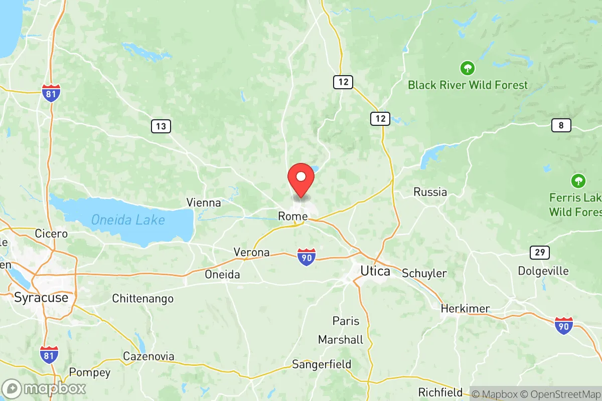
Oneida County, New York, offers a compelling mix of geographic insulation and practical infrastructure that makes it a serious contender for relocators prioritizing resilience and self-sufficiency. Situated in the Mohawk Valley roughly halfway between Albany and Syracuse, the county benefits from being far enough from major metropolitan targets to reduce fallout risks, yet close enough to maintain access to supply chains and healthcare. With a population of around 230,000 spread across cities like Utica, Rome, and smaller towns like Boonville and Clinton, the area provides a balance of rural buffer zones and functional urban centers that can support a long-term strategic relocation.
Geographic position and natural advantages for long-term stability
Oneida County’s location in the Mohawk Valley is a natural corridor that has historically served as a defensive and logistical asset. The region is flanked by the Adirondack Park to the north and the Catskills to the south, providing vast, sparsely populated wilderness areas that could serve as retreat zones or resource buffers. The county itself is bisected by the Mohawk River and the New York State Barge Canal, offering reliable freshwater access and potential for small-scale hydroelectric generation. The terrain is a mix of rolling hills, farmland, and forest, which supports decentralized food production and limits the spread of wildfires compared to drier western states. The average elevation of around 600 feet reduces flood risk in most areas, though low-lying spots near the Mohawk River can see seasonal flooding. For a relocator, the key advantage is the 120-mile distance from New York City and 50 miles from Albany, placing the county outside the likely blast and immediate fallout zones of those major targets while still being within a day’s drive of critical medical and logistical hubs.
Risks, exposures, and proximity to fallout-relevant landmarks
While Oneida County avoids the highest-risk zones, it is not without exposures. The most significant man-made risk comes from Griffiss Air Force Base in Rome, a former Strategic Air Command installation that now hosts the Air Force Research Laboratory and the Eastern Air Defense Sector. Though decommissioned as an active bomber base, its ongoing military and research functions make it a potential target in a conflict scenario. Additionally, the county lies within 100 miles of the Nine Mile Point Nuclear Generating Station in Oswego County and the FitzPatrick Nuclear Power Plant, both on Lake Ontario. A major accident or attack at either could affect Oneida County’s air and water, particularly if prevailing winds carry fallout eastward. The county also sits near the New York State Thruway (I-90) and major rail lines, which are chokepoints that could be disrupted in a crisis. Natural risks are moderate: winter storms are the primary hazard, with average snowfall exceeding 100 inches in higher elevations, which can isolate rural areas for days. Earthquake risk is low, and tornadoes are rare, though microbursts and ice storms occur. For a relocator, the key takeaway is that while the county is not a zero-risk zone, its exposure is far lower than coastal or metropolitan areas, and the military presence is the primary concern to monitor.
Practical resilience for a relocator: food, water, energy, and defensibility
Oneida County scores well on practical self-sufficiency metrics. Water availability is excellent: the Mohawk River, numerous lakes like Delta Lake and Oneida Lake, and a high water table mean most properties can access groundwater via wells. The county’s municipal water systems in Utica and Rome are fed by reservoirs in the Adirondacks, which are less vulnerable to contamination than surface sources near industrial sites. For food, the region has a strong agricultural base, with dairy farms, apple orchards, and vegetable operations concentrated in the western and central parts of the county. The Utica Farmers Market and local CSAs provide direct access to fresh produce, and the growing season runs from May to October, allowing for significant home gardening and preservation. Soil quality varies but is generally fertile in the valley bottoms. Energy resilience is mixed: the grid is reliable but aging, and winter storms can cause outages lasting 24-48 hours. However, the county has significant hydroelectric capacity from the Mohawk River and canal system, and the nearby St. Lawrence-Franklin D. Roosevelt Power Project provides a regional backup. Wood heating is common in rural areas, with abundant forestland for sustainable harvest. Defensibility is a strong point: the county’s layout, with the Adirondacks to the north and the Mohawk Valley as a natural funnel, means that chokepoints like the Thruway exits at Utica and Rome can be monitored or controlled. The terrain is not mountainous enough for easy fortification, but the mix of open farmland and wooded hills provides good visibility and cover. For a relocator, the practical advice is to secure a property with a well, wood stove, and south-facing garden slope, and to store at least a month’s worth of supplies for winter isolation.
Overall, Oneida County presents a balanced strategic picture for the resilience-minded relocator. It avoids the extreme risks of coastal cities, major military hubs like Fort Drum (60 miles north), or industrial corridors like the New York City metro, while still offering the infrastructure and community networks needed for long-term stability. The county’s greatest strengths are its abundant freshwater, agricultural capacity, and low population density outside the Utica-Rome corridor. Its weaknesses are winter weather, the residual risk from Griffiss AFB, and the potential for supply chain disruptions along I-90. For a family or individual willing to invest in winter preparedness and local food production, Oneida County offers a defensible, resource-rich base that can weather most regional or national disruptions without requiring a complete off-grid lifestyle. The key is to choose a location away from the immediate vicinity of Rome and the Thruway, favoring towns like Boonville, Clinton, or the rural areas south of Utica near the Chenango County line.

* Values derived from national, state, county, city and local statistics and may differ in a specific area. Last updated: 2026-07-24T00:30:19.000Z
Narrative content on this page is AI-generated and may contain mistakes. Verify any details that matter before acting on them.
ReloMaps may earn a commission from affiliate links at no extra cost to you.

