
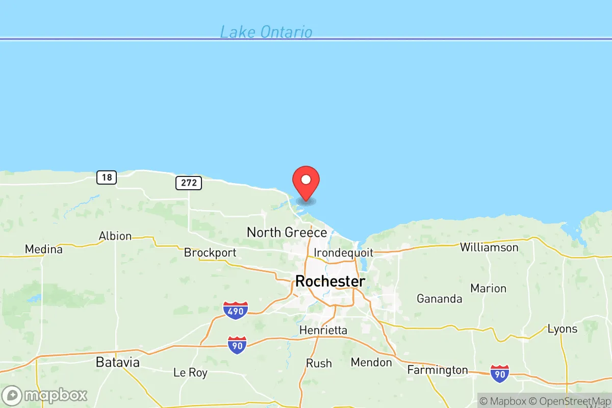

Photo: Wikipedia
Strategic Assessment of Monroe County
Multiple tactical vulnerabilities. Population density, target proximity, or disaster risk are likely compounding. A retreat property and exit planning is required.
What does the Strategic Assessment tell us?
Our Strategic Assessment grades tactical survivability of an area. Major population centers, military targets, fallout zones, natural disasters, and border exposure all drive risk — lower exposure means a more defensible position in a crisis.
This is heavily inspired by Joel Skousen's Strategic Relocation book. Highly recommended you checkout the book ($)What does this tell us?
Our Strategic Assessment grades tactical survivability of an area. Major population centers, military targets, fallout zones, natural disasters, and border exposure all drive risk — lower exposure means a more defensible position in a crisis.
This is heavily inspired by Joel Skousen's Strategic Relocation book. Highly recommended you checkout the book ($)Strategic Pillars

Key Distances
Strategic Assessment Analysis
Monroe County, New York, presents a mixed strategic picture for the relocation-minded reader focused on resilience and self-sufficiency. Its greatest asset is its position within the Great Lakes region, offering abundant fresh water and a temperate climate, but its proximity to major population centers and critical infrastructure introduces significant risks that must be weighed carefully. For a family or individual prioritizing disaster readiness, the county offers a solid baseline of natural advantages, but requires a clear-eyed assessment of its exposure to both natural and man-made threats.
Geographic position and natural advantages for long-term stability
Monroe County sits on the southern shore of Lake Ontario, giving it a direct, unfiltered access to the largest surface freshwater system in the world. This is a foundational advantage for any resilience plan. The county’s location in the Lake Ontario snowbelt means precipitation is reliable, supporting local agriculture and reducing the risk of prolonged drought compared to regions further west or south. The Genesee River flows north through the county, bisecting the city of Rochester and providing a secondary water source and a natural corridor for wildlife and movement. The surrounding terrain is generally rolling hills and fertile glacial till, part of the larger Finger Lakes region, which supports a robust local food system. The city of Rochester itself is the urban core, but the county includes towns like Pittsford, Penfield, and Henrietta, which offer a mix of suburban and semi-rural land where a relocator could feasibly establish a small homestead or garden. The county’s position roughly 70 miles east of Buffalo and 90 miles west of Syracuse places it within a corridor of moderate population density, but far enough from the immediate blast zones of those cities to offer a buffer. The Lake Ontario shoreline also provides a natural barrier to the north, limiting approach vectors from that direction.
Risks, exposures, and proximity to fallout-relevant landmarks
The most significant risk for Monroe County is its proximity to several high-value man-made targets. The county itself hosts the Rochester Institute of Technology (RIT) and the University of Rochester, both of which are research institutions with potential dual-use capabilities. More critically, the county is within a 150-mile radius of multiple strategic assets. The city of Rochester is a major population center (roughly 200,000 within city limits, over 1 million in the metro area), which itself is a target for any large-scale conflict. The county is also roughly 60 miles from the Niagara Falls power project and the international border crossing at Niagara Falls, a critical energy and transportation chokepoint. Further south, the county is about 120 miles from the Finger Lakes region, which hosts the Seneca Army Depot, a former nuclear weapons storage site. While decommissioned, its historical significance makes it a potential secondary target. The county is also within 200 miles of the New York City metro area, the largest population and economic center in the nation, meaning any large-scale event there would send cascading effects up the I-90 corridor, which runs directly through Monroe County. Natural risks are comparatively lower: the county is not in a major hurricane zone, has low seismic activity, and while lake-effect snow can be extreme (averaging 80-100 inches annually in some areas), it is a predictable, manageable hazard. The primary man-made risk is the concentration of critical infrastructure and population along the Lake Ontario shoreline and the I-90 corridor, making the county a likely secondary or tertiary target in a major conflict.
Practical resilience for a relocator: food, water, energy, and defensibility
For the relocator focused on practical self-sufficiency, Monroe County offers a strong foundation. Water is the county’s single greatest strategic asset. Lake Ontario provides an effectively limitless supply, though treatment and pumping infrastructure would be vulnerable in a grid-down scenario. The Genesee River and numerous smaller creeks and ponds offer decentralized sources. The county’s agricultural sector is robust, with the surrounding region producing apples, grapes, vegetables, and dairy. The town of Henrietta is home to the Monroe County Farmers’ Market, one of the largest in the state, and the county has a strong network of community-supported agriculture (CSA) programs and u-pick farms. Energy resilience is a mixed bag. The county is served by Rochester Gas and Electric (RG&E), which relies on a mix of natural gas, nuclear (from the Ginna plant in nearby Wayne County), and hydroelectric power from Niagara Falls. A relocator would be wise to invest in solar with battery backup, as the grid is aging and subject to winter storm outages. Defensibility is moderate. The county’s terrain is not mountainous, but the combination of the lake, the river, and the rolling hills provides natural chokepoints and observation points. The city of Rochester itself would be a dangerous place to be in a collapse scenario due to population density and potential for civil unrest. The more defensible positions are in the southern and eastern parts of the county, in towns like Mendon, Rush, and parts of Perinton, where larger lot sizes, wooded areas, and lower population density offer better options for a retreat. The county’s road network is extensive, with major highways (I-90, I-390, I-490) providing both mobility and vulnerability. A relocator should prioritize a property with a well, septic, and access to a secondary water source, as municipal systems are a single point of failure.
The overall strategic picture for Monroe County is one of a solid, but not exceptional, resilience profile. Its water abundance and agricultural capacity are genuine advantages that few other regions in the Northeast can match. However, its position within a major metropolitan corridor and its proximity to critical infrastructure mean it cannot be considered a remote or secure retreat. For a family willing to invest in off-grid capabilities and choose a location carefully—away from the I-90 corridor and the immediate Rochester suburbs—the county offers a viable base for a self-sufficient lifestyle. The key is to treat it as a semi-urban buffer zone, not a wilderness sanctuary, and to plan accordingly for the risks that come with being near the center of a regional population and logistics hub.

* Values derived from national, state, county, city and local statistics and may differ in a specific area. Last updated: 2026-06-29T00:14:24.000Z
Narrative content on this page is AI-generated and may contain mistakes. Verify any details that matter before acting on them.
ReloMaps may earn a commission from affiliate links at no extra cost to you.

