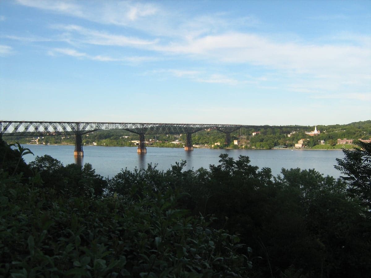
Photo: Wikipedia
Strategic Assessment of Dutchess County
Multiple tactical vulnerabilities. Population density, target proximity, or disaster risk are likely compounding. A retreat property and exit planning is required.
What does the Strategic Assessment tell us?
Our Strategic Assessment grades tactical survivability of an area. Major population centers, military targets, fallout zones, natural disasters, and border exposure all drive risk — lower exposure means a more defensible position in a crisis.
This is heavily inspired by Joel Skousen's Strategic Relocation book. Highly recommended you checkout the book ($)What does this tell us?
Our Strategic Assessment grades tactical survivability of an area. Major population centers, military targets, fallout zones, natural disasters, and border exposure all drive risk — lower exposure means a more defensible position in a crisis.
This is heavily inspired by Joel Skousen's Strategic Relocation book. Highly recommended you checkout the book ($)Strategic Pillars

Key Distances
Strategic Assessment Analysis
Dutchess County offers a compelling strategic position for relocation-minded individuals and families who prioritize resilience, sitting in a sweet spot that balances proximity to the New York City metro area with the physical buffers of the Hudson River and the Taconic Mountains. Its location roughly 75 miles north of Manhattan places it outside the most intense fallout zones of a major urban or industrial strike, while still providing access to critical infrastructure and supply chains. The county’s mix of river valleys, forested ridges, and working farmland creates a landscape that is both defensible and capable of supporting a degree of self-sufficiency, making it a serious contender for those weighing disaster readiness against career and community access.
Geographic position and natural advantages for a strategic relocation
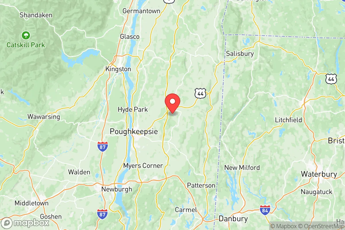
Dutchess County’s geography is its primary strategic asset. The county is bisected by the Hudson River, with the eastern half rising into the Taconic Mountains and the western portion featuring rolling hills and the Hudson Highlands. This topography provides natural chokepoints and defensible terrain—the Taconic State Parkway and the Taconic Mountains themselves create a barrier that slows movement from the east, while the Hudson River offers a water source and a potential transportation corridor. The county’s position north of the New York City metro area means prevailing winds from the west and southwest would carry fallout from a Manhattan or New Jersey strike away from most of Dutchess, though the southern towns like Wappingers Falls and Fishkill sit closer to the risk zone. The county’s elevation, ranging from sea level along the river to over 1,600 feet in the Taconics, offers cooler summers and less humidity than the coastal plain, which aids in long-term food storage and reduces heat-related stress during grid failures. The presence of the Hudson River as a major waterway also provides a potential route for barge transport of supplies if road networks are compromised, though it also makes the county a target for any adversary seeking to disrupt the Northeast’s waterborne commerce.
Risks, exposures, and proximity to fallout-relevant landmarks
While Dutchess County avoids the worst of a direct strike, it is not immune to secondary risks. The county sits within 100 miles of New York City, the Indian Point Energy Center (now decommissioned but still containing spent fuel), and the New York Harbor complex, which includes oil terminals, chemical plants, and the Port of New York and New Jersey. A major event at any of these sites could produce fallout clouds that drift northward, particularly under southerly winds. Within Dutchess County itself, the Stewart Air National Guard Base in Newburgh (just across the river in Orange County) is a military installation that could become a target in a conflict, and the Metro-North Railroad’s Hudson Line runs through the county, carrying hazardous materials through the river corridor. The county’s own industrial footprint is modest—there are no major refineries or nuclear plants within its borders—but the Danskammer Generating Station in Newburgh, a natural gas peaker plant, and the Bowline Point Generating Station in Haverstraw (Rockland County) are within 30 miles and could be secondary targets. Natural disaster risks are lower than in coastal or Gulf regions: the county experiences occasional flooding along the Hudson and its tributaries, particularly in Poughkeepsie and Beacon, but tornadoes, hurricanes, and earthquakes are rare. The primary man-made risk is the county’s reliance on the electrical grid that feeds from the New York City area, which is vulnerable to cascading failures during a cyberattack or EMP event.
Practical resilience for a relocator: food, water, energy, and defensibility
For a relocator serious about self-sufficiency, Dutchess County offers a mixed but workable picture. Food security is a strong point: the county has over 600 farms, including orchards, dairy operations, and vegetable growers, concentrated in the eastern towns of Millbrook, Stanford, and Pine Plains. The Dutchess County Agricultural District protects farmland from development, and farmers’ markets operate year-round in Poughkeepsie, Rhinebeck, and Beacon. A family with a few acres could realistically produce a significant portion of their own vegetables, eggs, and even meat, though the growing season is short (roughly May to October) and requires cold storage for winter. Water availability is excellent: the county sits atop the Poughkeepsie Aquifer, a large groundwater system that supplies most of the county’s drinking water, and surface water from the Hudson and its tributaries is abundant. However, reliance on municipal water systems in towns like Poughkeepsie and Wappingers Falls means a well or a backup filtration system is essential for off-grid scenarios. Energy resilience is a weaker point: the county’s grid is tied to the New York Independent System Operator (NYISO) and is vulnerable to outages from storms or cyberattacks. Solar adoption is growing, but net metering policies are state-level and subject to change. Wood heating is common in rural areas, with the Taconic Mountains providing ample firewood, but air quality can become an issue during prolonged use. Defensibility is good but not fortress-like: the county’s rural eastern half offers isolated valleys and dead-end roads that can be secured with minimal effort, while the river corridor and the Taconic State Parkway provide natural chokepoints. The county’s population density of roughly 260 people per square mile means neighbors are close enough for mutual aid but not so close that privacy is lost. The Dutchess County Sheriff’s Office and local police departments are well-funded, but during a major crisis, response times in the eastern towns could stretch to 30 minutes or more.
The overall strategic picture for Dutchess County is one of calculated trade-offs. It offers a strong balance of proximity to urban resources and physical separation from the highest-risk zones, with natural defenses, abundant water, and a working agricultural base that supports a degree of self-sufficiency. The county’s main vulnerabilities are its reliance on the New York City metro area for jobs, supplies, and grid power, and its position within the fallout shadow of a major strike on the city or the Hudson River industrial corridor. For a relocator who is willing to invest in off-grid energy, water storage, and food production, and who can accept the trade-off of being within a two-hour drive of a potential target, Dutchess County is a solid choice. It is not a remote bunker, but it is a defensible, resource-rich area that can sustain a family through most disruptions short of a direct nuclear exchange. The key is to choose a location east of the Hudson, away from the river corridor and the major highways, and to build redundancy into water and power systems before a crisis hits.

* Values derived from national, state, county, city and local statistics and may differ in a specific area. Last updated: 2026-07-08T09:22:25.000Z
Narrative content on this page is AI-generated and may contain mistakes. Verify any details that matter before acting on them.
ReloMaps may earn a commission from affiliate links at no extra cost to you.

