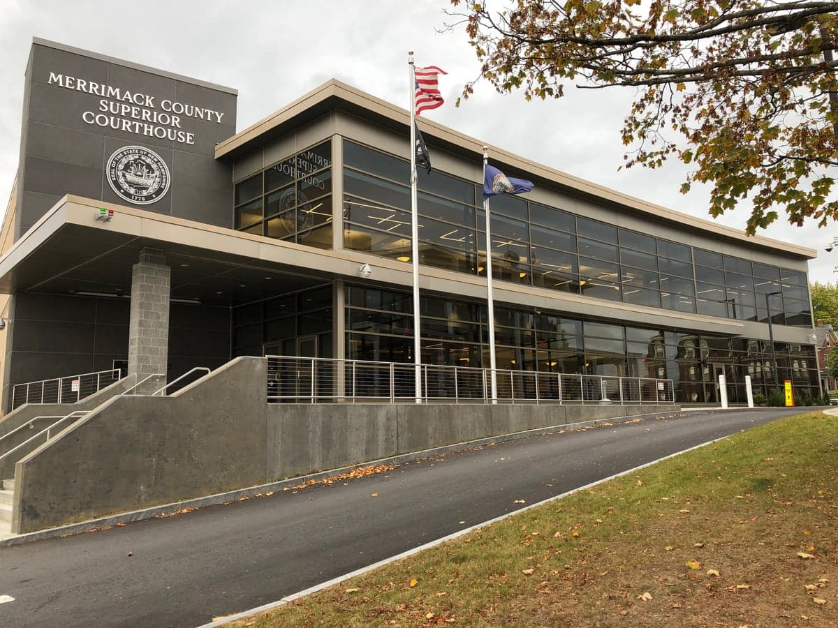
Photo: Wikipedia
Strategic Assessment of Merrimack County
Meaningful friction. Expect exposure to either population pressure, blast zones, or natural disaster risk. Consider buying a retreat property.
What does the Strategic Assessment tell us?
Our Strategic Assessment grades tactical survivability of an area. Major population centers, military targets, fallout zones, natural disasters, and border exposure all drive risk — lower exposure means a more defensible position in a crisis.
This is heavily inspired by Joel Skousen's Strategic Relocation book. Highly recommended you checkout the book ($)What does this tell us?
Our Strategic Assessment grades tactical survivability of an area. Major population centers, military targets, fallout zones, natural disasters, and border exposure all drive risk — lower exposure means a more defensible position in a crisis.
This is heavily inspired by Joel Skousen's Strategic Relocation book. Highly recommended you checkout the book ($)Strategic Pillars

Key Distances
Strategic Assessment Analysis
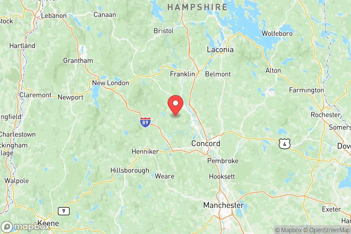
Merrimack County, New Hampshire, offers a compelling strategic position for relocation-minded individuals and families who prioritize resilience and self-sufficiency without sacrificing access to essential infrastructure. Anchored by the state capital of Concord, the county sits in a sweet spot: far enough from the dense urban corridors of Boston and the New York metroplex to avoid their primary risk profiles, yet close enough to leverage their medical and supply networks when needed. The county’s interior location, roughly 70 miles northwest of Boston and 45 miles north of Manchester, places it outside the most likely fallout zones from major coastal targets while still providing a robust local economy and community fabric.
Geographic position and natural advantages for long-term stability
Merrimack County’s geography is defined by the Merrimack River valley, rolling hills, and extensive forest cover, which together create a naturally defensible and resource-rich environment. The county spans roughly 955 square miles, with the Merrimack River running north-south through its center, providing a reliable freshwater source that is less vulnerable to contamination than coastal aquifers. The terrain offers natural chokepoints and elevated positions—particularly around the towns of Andover and Warner—that could be leveraged for perimeter security or observation in a prolonged disruption scenario. The region’s four distinct seasons support a growing season of roughly 120–150 days, which is viable for subsistence gardening, especially with cold frames or hoop houses. The county’s position within the New England Upland means it is less prone to flooding than coastal or river-delta areas, though localized flash flooding along the Merrimack and its tributaries remains a periodic concern. For a relocator, the combination of abundant surface water, moderate elevation, and low population density (roughly 150 people per square mile outside Concord) creates a baseline of geographic resilience that is hard to find closer to the I-95 corridor.
Risk exposure: natural hazards and proximity to man-made targets
While Merrimack County avoids the worst of coastal hurricane surge and the seismic risks of the West Coast, it faces a distinct set of hazards that a serious prepper must account for. Winter storms are the most frequent natural threat, with the county averaging 60–70 inches of snow annually; ice storms can knock out power for days or weeks, as seen in the 2008 ice storm that left much of the region without electricity for up to two weeks. Flooding along the Merrimack River and its tributaries—particularly in low-lying areas of Concord, Boscawen, and Franklin—is a recurring risk, with major floods in 1936, 2006, and 2023 causing significant property damage. On the man-made risk side, the county’s relative safety is a double-edged sword. No major military bases, nuclear power plants, or refineries sit within Merrimack County itself. The closest high-value target is the Portsmouth Naval Shipyard (about 60 miles east), which is a nuclear-capable submarine maintenance facility and a likely Tier-1 target in a conflict scenario. The Seabrook Nuclear Power Plant (about 55 miles southeast) presents a fallout risk if compromised, though prevailing winds typically carry fallout eastward over the Gulf of Maine rather than inland. The Boston metro area (70 miles south) is a high-density target set that could generate significant fallout plumes under certain wind conditions, but Merrimack County’s distance and the intervening hills of southern New Hampshire provide meaningful attenuation. For a relocator, the key takeaway is that Merrimack County is not a primary target zone, but it sits within the outer ring of risk from several high-value assets—a position that demands situational awareness rather than alarm.
Practical resilience for a relocator: food, water, energy, and defensibility
For someone serious about self-sufficiency, Merrimack County offers a strong foundation that requires deliberate effort to fully exploit. Water availability is excellent: the Merrimack River, along with dozens of smaller streams, ponds, and lakes (including Lake Sunapee on the western edge and Bow Lake in the south), provides multiple redundant sources. Groundwater is generally accessible via wells at depths of 100–300 feet, though yields vary by location. Food production is viable but not effortless. The county has a long agricultural history, with active farms in Hopkinton, Pembroke, and Chichester that produce hay, dairy, vegetables, and maple syrup. The soil is predominantly sandy loam and glacial till, which drains well but requires amendment for high-yield vegetable production. A determined household can produce a significant portion of its own calories with a half-acre garden, fruit trees, and small livestock, but the short growing season means food storage and preservation skills are essential. Energy resilience is a mixed picture. The county is served by Eversource and the New Hampshire Electric Cooperative, with grid reliability that is average for rural New England—meaning outages are common during storms but usually resolved within 24–48 hours. Wood heat is the most practical off-grid option, with abundant hardwood forests throughout the county; a cord of seasoned firewood costs $250–$400 delivered, and a typical home needs 4–6 cords per winter. Solar potential is moderate (roughly 4.0–4.5 peak sun hours per day), but net metering policies in New Hampshire are favorable, and off-grid solar with battery storage is increasingly cost-effective. Defensibility is where Merrimack County shines relative to more suburban areas. The terrain offers natural cover and observation points, and the county’s strong culture of hunting and firearms ownership means a significant portion of the population is both armed and trained. The Grafton County line to the north and the Belknap County line to the east provide additional buffer zones of low-density population. For a relocator, the practical advice is to prioritize properties with southern exposure for solar, a reliable well, and at least 5–10 acres of wooded land for firewood, privacy, and potential food production.
In the overall strategic picture, Merrimack County represents a balanced option for the resilience-minded relocator who wants to avoid the extremes of deep rural isolation or dense suburban vulnerability. It offers reliable water, workable land, a capable population, and a position outside the primary blast and fallout zones of the Northeast Corridor. The trade-offs are real: a shorter growing season, winter storm risks, and the need for proactive investment in off-grid energy and food storage. But for a family or individual willing to put in the work, the county provides a defensible, resource-rich base that can sustain a household through most disruptions short of a direct nuclear strike—and even then, the hills and forests of central New Hampshire offer better odds than almost any location closer to the coast. The smart move is to secure a property with water, wood, and southern exposure, build relationships with neighbors in the farming and outdoor communities, and treat the county not as a bunker but as a launching point for a resilient, self-reliant lifestyle.

* Values derived from national, state, county, city and local statistics and may differ in a specific area. Last updated: 2026-06-15T22:37:52.000Z
Narrative content on this page is AI-generated and may contain mistakes. Verify any details that matter before acting on them.
ReloMaps may earn a commission from affiliate links at no extra cost to you.

