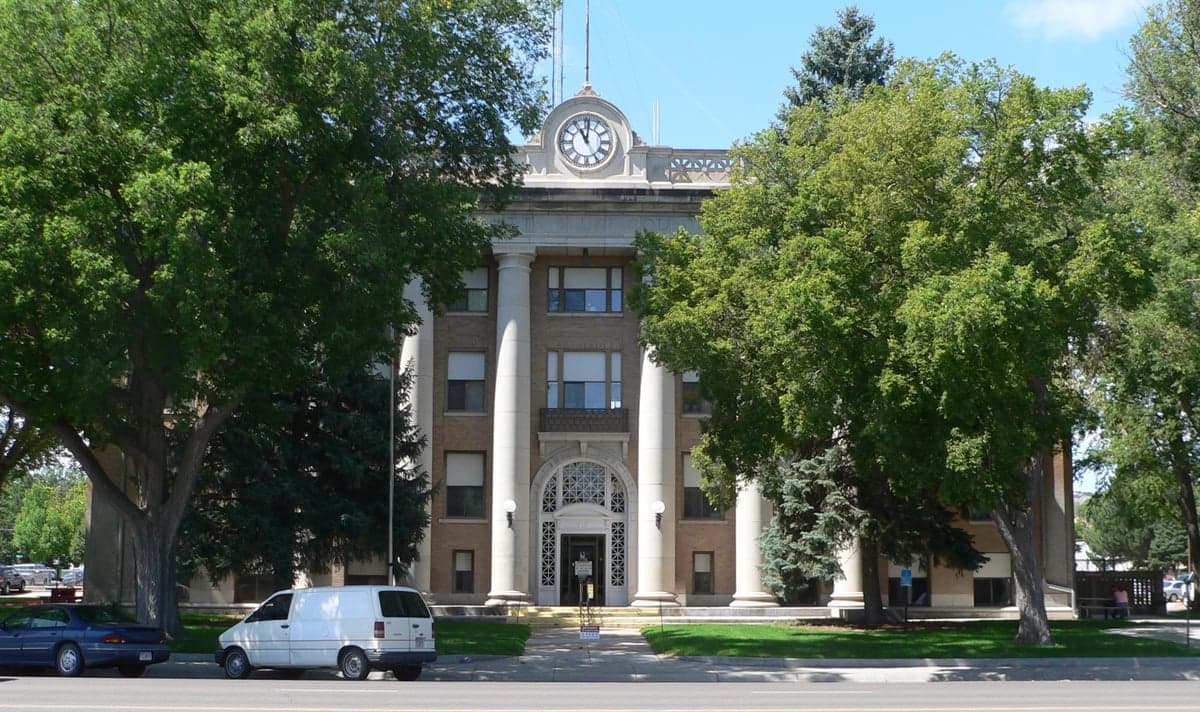
Photo: Wikipedia
Strategic Assessment of Scotts Bluff County
Strong survivability profile. Good buffer from population centers, with manageable environmental and tactical risks.
What does the Strategic Assessment tell us?
Our Strategic Assessment grades tactical survivability of an area. Major population centers, military targets, fallout zones, natural disasters, and border exposure all drive risk — lower exposure means a more defensible position in a crisis.
This is heavily inspired by Joel Skousen's Strategic Relocation book. Highly recommended you checkout the book ($)What does this tell us?
Our Strategic Assessment grades tactical survivability of an area. Major population centers, military targets, fallout zones, natural disasters, and border exposure all drive risk — lower exposure means a more defensible position in a crisis.
This is heavily inspired by Joel Skousen's Strategic Relocation book. Highly recommended you checkout the book ($)Strategic Pillars

Key Distances
Strategic Assessment Analysis
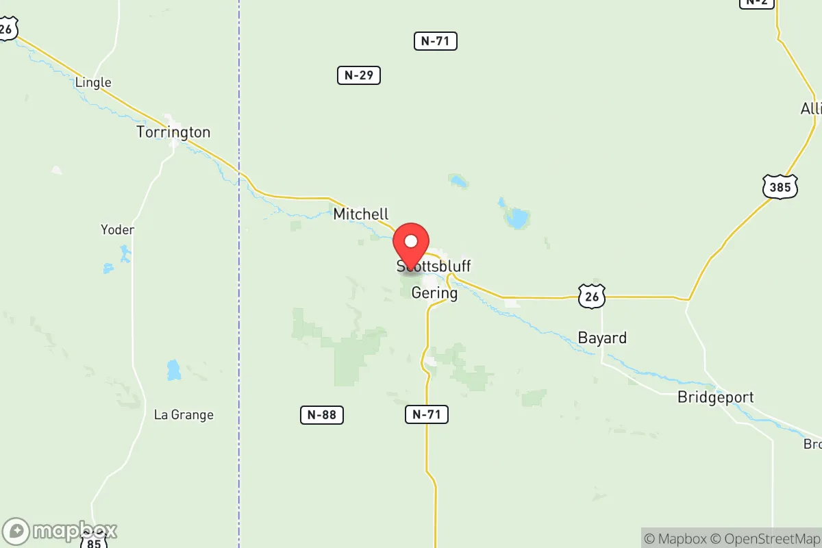
Scotts Bluff County, Nebraska, offers a strategic relocation option for those prioritizing resilience and self-sufficiency, anchored by the county seat of Gering and the regional hub of Scottsbluff. Its position in the western Panhandle places it far from the dense population corridors and high-value target zones of the eastern United States, while still providing access to essential infrastructure and agricultural resources. The area's low population density—roughly 36,000 residents spread across 740 square miles—combined with its distance from major metropolitan areas like Denver (190 miles south) and Cheyenne (120 miles west), creates a natural buffer against both cascading infrastructure failures and targeted disruptions. For a reader serious about disaster readiness, this region presents a compelling balance of isolation and practical viability.
Geographic position and natural advantages for long-term security
Scotts Bluff County sits at the intersection of the North Platte River valley and the High Plains, a geography that provides both defensive depth and resource abundance. The county is framed by the Wildcat Hills and Scotts Bluff National Monument, offering elevated terrain that can serve as natural observation points and defensible positions. The North Platte River, which runs through the county, is a perennial water source that supports extensive irrigation networks, making the region one of Nebraska's most productive agricultural zones. The county's location along the Union Pacific rail line and U.S. Highway 26 provides logistical connectivity without the vulnerabilities of major interstate choke points. The nearest significant military installation is F.E. Warren Air Force Base in Cheyenne, Wyoming, which is a missile wing facility—a potential target, but its distance (120 miles west) and the prevailing westerly winds reduce direct fallout risk to Scotts Bluff County. The area's elevation, averaging 3,900 feet, also mitigates flood risks common in lower-lying regions, though localized flash flooding in the river valley remains a consideration.
Risks, exposures, and proximity to fallout-relevant landmarks
While Scotts Bluff County benefits from geographic isolation, it is not without exposure to man-made and natural risks. The county lies within the North Platte River floodplain, and heavy spring snowmelt or sustained rainfall can cause flooding in low-lying areas near Gering and Scottsbluff. Tornado risk is moderate but lower than in Nebraska's central and eastern counties; the Panhandle's drier climate and higher elevation reduce the frequency of supercell formation. The most significant man-made risk comes from the county's proximity to the Union Pacific rail line, which transports hazardous materials including crude oil and chemicals through the region. A derailment near the Scottsbluff rail yard could pose localized contamination risks. Regarding fallout-relevant landmarks, the county is roughly 200 miles from the Strategic Air Command's former headquarters at Offutt Air Force Base near Omaha, and 120 miles from F.E. Warren's missile fields—both potential targets in a major conflict. However, prevailing winds in the region blow from the west and northwest, meaning fallout from a strike on Cheyenne would likely be carried eastward, away from Scotts Bluff County. The county's distance from major refinery corridors, nuclear power plants (the nearest is Fort Calhoun near Omaha, 400 miles east), and population centers over 500,000 makes it a low-priority target zone.
Practical resilience for a relocator: food, water, energy, and defensibility
For a relocator focused on self-sufficiency, Scotts Bluff County offers strong fundamentals. The region is a major agricultural producer, with irrigated corn, sugar beets, dry beans, and alfalfa forming the backbone of the local economy. The presence of the Gering-Fort Laramie Irrigation Canal and numerous groundwater wells means that potable water is accessible even during grid-down scenarios, provided one has a manual pump or generator. The county's electrical grid is served by the Nebraska Public Power District, which relies on a mix of coal, natural gas, and renewable sources; the region's high solar insolation (over 300 sunny days per year) makes solar panel installation a viable backup. Natural gas is widely available in the Scottsbluff-Gering metro area, but rural properties often rely on propane or heating oil, which should be stockpiled in advance. Defensibility is enhanced by the county's low population density and the natural barriers of the Wildcat Hills to the south and the North Platte River to the north. The county seat of Gering, with its historic downtown and compact layout, offers a defensible core, while the more dispersed rural homesteads provide options for those seeking complete isolation. The local healthcare infrastructure includes Regional West Medical Center in Scottsbluff, a 188-bed facility that serves as a trauma center for the region, though major surgical capabilities would be strained in a prolonged crisis.
The overall strategic picture for Scotts Bluff County is one of moderate-to-high resilience for a relocator who values distance from primary targets and access to agricultural resources. The county's weaknesses—flood risk in the river valley, rail transport of hazardous materials, and dependence on a single regional hospital—are manageable with proper planning. Its strengths—abundant water, productive farmland, low population density, and distance from major military and industrial targets—make it a defensible and sustainable location for long-term self-sufficiency. For the reader weighing disaster readiness against practical livability, Scotts Bluff County represents a serious option that avoids the extremes of complete wilderness or vulnerable urban proximity. The key is to secure a property with private water access, preferably on higher ground south of the river, and to establish relationships with local farmers and suppliers before any crisis materializes.

* Values derived from national, state, county, city and local statistics and may differ in a specific area. Last updated: 2026-06-17T22:17:14.000Z
Narrative content on this page is AI-generated and may contain mistakes. Verify any details that matter before acting on them.
ReloMaps may earn a commission from affiliate links at no extra cost to you.

