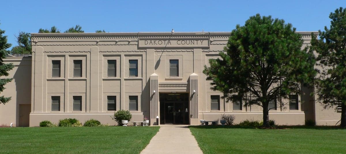
Photo: Wikipedia
Strategic Assessment of Dakota County
Strong survivability profile. Good buffer from population centers, with manageable environmental and tactical risks.
What does the Strategic Assessment tell us?
Our Strategic Assessment grades tactical survivability of an area. Major population centers, military targets, fallout zones, natural disasters, and border exposure all drive risk — lower exposure means a more defensible position in a crisis.
This is heavily inspired by Joel Skousen's Strategic Relocation book. Highly recommended you checkout the book ($)What does this tell us?
Our Strategic Assessment grades tactical survivability of an area. Major population centers, military targets, fallout zones, natural disasters, and border exposure all drive risk — lower exposure means a more defensible position in a crisis.
This is heavily inspired by Joel Skousen's Strategic Relocation book. Highly recommended you checkout the book ($)Strategic Pillars

Key Distances
Strategic Assessment Analysis
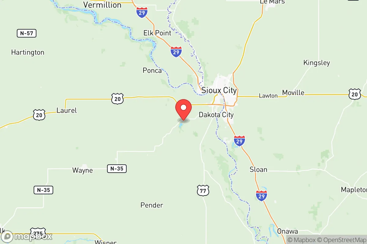
Dakota County, Nebraska, offers a compelling strategic profile for relocators prioritizing resilience and self-sufficiency, blending the quiet stability of the Great Plains with the practical advantages of proximity to the Missouri River and the tri-state region of Nebraska, Iowa, and South Dakota. The county seat, Dakota City, and its largest city, South Sioux City, form a modest urban core that provides essential services without the congestion and vulnerability of a major metropolis. This area’s location—roughly 90 miles north of Omaha and 100 miles south of Sioux Falls, South Dakota—positions it as a secondary hub, far enough from primary targets to reduce fallout risk, yet close enough to access regional resources and markets. For a reader weighing disaster readiness and long-term sustainability, Dakota County presents a balanced mix of geographic insulation and practical infrastructure, though it is not without specific exposures that demand careful consideration.
Geographic position and natural advantages for long-term stability
Dakota County’s geography is defined by its position along the Missouri River, which serves as both a natural resource and a boundary. The river valley provides fertile alluvial soils, supporting local agriculture that is a cornerstone of the county’s economy and food security. The terrain is predominantly flat to gently rolling, with the Loess Hills beginning to rise just to the west in neighboring Thurston County, offering some natural defensibility and vantage points. The county’s location in the eastern Nebraska plains means it experiences a continental climate with four distinct seasons—cold winters, hot summers, and moderate precipitation averaging around 30 inches annually. This climate supports rain-fed agriculture without heavy reliance on irrigation, a key advantage for long-term food production. The area is also far from active seismic zones, major hurricane landfall areas, and tsunami risks, reducing exposure to common natural disasters. The nearest significant fault line is the New Madrid Seismic Zone, over 400 miles southeast, meaning earthquake risk is minimal. For a relocator, the county’s position offers a stable baseline: no coastal storm surge, no wildfire-prone chaparral, and no frequent tornado alley touchdowns (though severe thunderstorms and occasional tornadoes are possible, as with most of the Plains). The Missouri River itself is a double-edged sword—it provides abundant water but also carries flood risk, particularly in low-lying areas near the riverbanks. The U.S. Army Corps of Engineers maintains levees and flood control structures along the river, but the 2011 Missouri River floods demonstrated that prolonged high water can stress these defenses. Overall, the natural advantages of Dakota County lie in its moderate climate, fertile soil, and distance from catastrophic natural events, making it a solid choice for those seeking a resilient homestead.
Risks, exposures, and proximity to fallout-relevant landmarks
While Dakota County avoids many of the high-profile risks of coastal or urban areas, it is not immune to man-made and strategic vulnerabilities. The most significant exposure is its proximity to Offutt Air Force Base, located roughly 90 miles south in Bellevue, Nebraska. Offutt is a major U.S. Strategic Command (STRATCOM) installation, housing nuclear command and control functions, making it a high-priority target in any large-scale conflict. Fallout patterns from a strike on Offutt would depend on wind direction, but prevailing westerlies in the region mean Dakota County could be downwind in certain scenarios, particularly if winds shift from the south or southwest. Additionally, the county lies within 150 miles of the Fort Calhoun Nuclear Power Plant (now decommissioned but still containing spent fuel) and the Cooper Nuclear Station near Brownville, Nebraska. While both are decommissioned or operating at reduced capacity, the spent fuel pools remain a potential radiological hazard in the event of a major accident or attack. On the industrial side, the Missouri River corridor hosts several chemical and fertilizer plants, including a major CF Industries nitrogen fertilizer facility in Sergeant Bluff, Iowa, just across the river from Dakota County. A catastrophic release at this facility could pose a toxic inhalation hazard, though such events are rare and typically localized. The county’s location near the intersection of Interstates 29 and 129 also means it is a transportation corridor for hazardous materials, including crude oil and refined fuels moving from the Bakken region to refineries in the Gulf. For a relocator, these risks are manageable with awareness: the probability of a direct strike on Offutt is low in peacetime, and the industrial hazards are typical of any river valley with heavy industry. The key is to avoid low-lying floodplains near the river and to have a plan for sheltering in place during a chemical or radiological event. Compared to living near a major refinery hub like Houston or a military complex like Colorado Springs, Dakota County’s exposure is moderate and localized.
Practical resilience for a relocator: food, water, energy, and defensibility
For a relocator focused on self-sufficiency, Dakota County offers strong fundamentals in food, water, and energy, with defensibility that is adequate for a rural setting. Food security is a standout: the county is part of Nebraska’s agricultural heartland, with corn, soybeans, and livestock dominating the landscape. Local farmers’ markets in South Sioux City and Dakota City provide fresh produce seasonally, and the region’s grain elevators and processing facilities mean bulk food storage is feasible. For those with land, the fertile soil supports home gardens, orchards, and small-scale livestock operations. The county’s rural character also means that hunting and fishing are accessible—the Missouri River offers catfish, walleye, and sturgeon, while public lands like the Dakota County Wildlife Management Area provide opportunities for deer and waterfowl hunting. Water availability is excellent: the Missouri River is a perennial source, and the underlying Ogallala Aquifer extends into the region, though it is deeper here than in the central Plains. Municipal water in South Sioux City is treated from the river, but private wells are common in rural areas and can provide reliable, independent water. For off-grid living, rainwater catchment is viable given the 30 inches of annual precipitation. Energy resilience is mixed. The grid is part of the Southwest Power Pool, which has a moderate reliability record, but winter storms (like the 2021 Texas freeze) can cause outages. Solar potential is good—the region receives about 4.5 peak sun hours per day—and wind energy is abundant, with several commercial wind farms in the broader area. Small-scale wind turbines or solar panels with battery storage are practical investments. Natural gas is widely available for heating, and wood for stoves is accessible from nearby timber along the river bluffs. Defensibility is a function of the county’s low population density (about 20,000 people across 264 square miles) and its rural layout. The Loess Hills to the west provide some natural cover and elevated positions, while the flat farmland offers clear sightlines. The county’s law enforcement presence is modest—the Dakota County Sheriff’s Office and South Sioux City Police Department cover the area—but the strong community ties in small towns like Homer and Emerson (the latter straddling the county line) foster a culture of mutual aid. For a relocator, the key is to choose a property with good access to water, defensible terrain (e.g., a hilltop or a property with a creek), and a buffer from main roads. The county’s lack of major military or industrial targets within its borders is a net positive for strategic resilience.
In the overall strategic picture, Dakota County, Nebraska, represents a solid middle-ground option for the disaster-conscious relocator. It avoids the extreme risks of coastal zones, major urban centers, and high-value military targets, while offering abundant natural resources for food and water. The trade-offs are real but manageable: the proximity to Offutt Air Force Base and the Missouri River industrial corridor introduces a non-zero risk of fallout or chemical exposure, but these are far less severe than living in the blast radius of a major city or near a nuclear plant. The county’s agricultural base, moderate climate, and low population density make it a practical choice for families or individuals seeking a resilient, self-sufficient lifestyle. For those willing to invest in off-grid energy, water storage, and a well-stocked pantry, Dakota County provides a stable foundation with room to grow. The key is to stay informed about local hazards, build strong community ties, and avoid the floodplains—then this corner of Nebraska can serve as a quiet, defensible home base for the long haul.

* Values derived from national, state, county, city and local statistics and may differ in a specific area. Last updated: 2026-07-08T02:09:17.000Z
Narrative content on this page is AI-generated and may contain mistakes. Verify any details that matter before acting on them.
ReloMaps may earn a commission from affiliate links at no extra cost to you.

