Photo: Wikipedia
Strategic Assessment of Natick, MA
Multiple tactical vulnerabilities. Population density, target proximity, or disaster risk are likely compounding. A retreat property and exit planning is required.
What does the Strategic Assessment tell us?
Our Strategic Assessment grades tactical survivability of an area. Major population centers, military targets, fallout zones, natural disasters, and border exposure all drive risk — lower exposure means a more defensible position in a crisis.
This is heavily inspired by Joel Skousen's Strategic Relocation book. Highly recommended you checkout the book ($)What does this tell us?
Our Strategic Assessment grades tactical survivability of an area. Major population centers, military targets, fallout zones, natural disasters, and border exposure all drive risk — lower exposure means a more defensible position in a crisis.
This is heavily inspired by Joel Skousen's Strategic Relocation book. Highly recommended you checkout the book ($)Strategic Pillars

Key Distances
Regional Safe Places
Below is our recommended "safe zones" in Massachusetts and the surrounding area based on our strategic heuristics. For most people, it's unrealistic to live in a “safe zone” full-time due to work, family or other personal reasons. They tend to be more rural. However, many of these areas are perfect for second homes and retreat properties that double as a vacation home or even a short-term rental.




Important Note: For informational purposes only. This does not mean nothing bad ever happens in the green zones. Please use common sense. This is based on public data and modeled with AI. We tried to take a conservative approach but mistakes happen. We update this regularly as new information becomes available.
Solar Generator Recommendations
Backup power matters more here than in safer locations. We've picked three solar generators across budgets and capacity tiers — start with the budget unit if you only need a few essentials, or step up if you want to run a fridge and HVAC for days at a time.

Jackery Portable Power Station Explorer 300
Budget OptionPower on the Go: Weighing only 11 lbs, it's convenient to set up and store with book-sized foldable solar panels

BLUETTI Portable Power Station AC180
Designed for both indoor and outdoor scenarios, AC180 is highly capable as it has a robost capacity and continuous output power.

EF ECOFLOW DELTA Pro Ultra Power Station
Upgraded PickEcoFlow DELTA Pro Ultra is a whole-home energy system designed to grow with your family. Integrated with the Smart Home Panel 2, it scales to meet your evolving energy needs — keeping your home powered, intelligent, and secure through every stage of life.
We earn a commission, at no additional cost to you.
Strategic Assessment Analysis
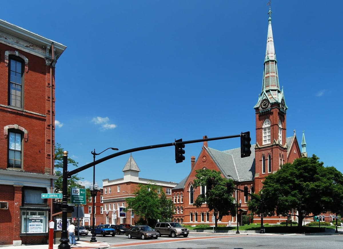
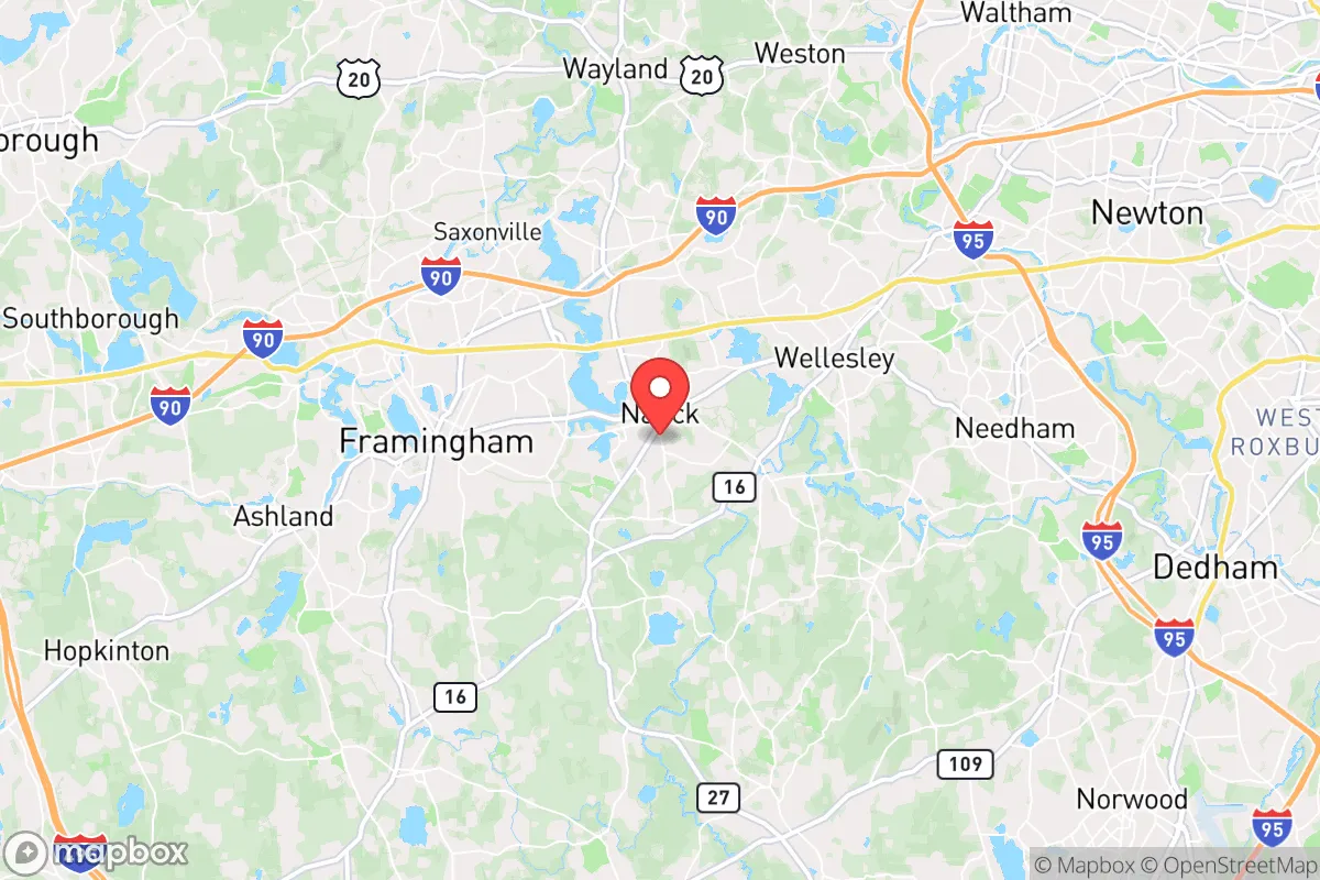
Natick, Massachusetts, occupies a strategic position that balances proximity to Boston’s economic engine with a degree of geographic insulation that makes it worth a serious look for the disaster-ready relocator. Located about 15 miles west of downtown Boston along the Massachusetts Turnpike (I-90) and the Framingham/Worcester commuter rail line, Natick sits in a corridor that has historically been less exposed to direct coastal storm surge and offers a mix of suburban density and open space. For a reader weighing self-sufficiency and resilience, Natick’s advantages are real but come with caveats—its closeness to major population centers and critical infrastructure means you’re not truly off the grid, but you’re also not in the bullseye of a direct hit.
Geographic position and natural advantages for disaster readiness
Natick’s geography is defined by its position along the Charles River and its rolling, wooded terrain, which provides some natural buffering against the worst of New England’s weather. The town sits at an elevation of roughly 150–200 feet above sea level, well above the floodplains that plague coastal communities like Quincy or Revere. The Charles River itself, while a scenic asset, is a double-edged sword: its floodplain is mapped by FEMA as Zone AE in low-lying areas near the river’s edge, particularly around South Natick and the Cochituate State Park area. However, the vast majority of Natick’s residential neighborhoods—especially those west of Route 27 and north of the Pike—sit on higher ground with minimal flood risk. The town’s tree canopy is dense, which helps with temperature regulation and windbreaks during nor’easters, but also means falling limbs and power outages are a recurring nuisance. For a relocator, the key takeaway is that Natick avoids the worst of coastal storm surge and hurricane-force winds that hammer Cape Cod and the South Shore, while still being close enough to Boston to access medical and supply networks if they remain functional.
Risks, exposures, and proximity to fallout-relevant landmarks
The most significant resilience concern for Natick is its proximity to several high-value man-made targets. The town lies roughly 10 miles west of Hanscom Air Force Base (a major Air Force and MIT Lincoln Laboratory facility) and about 12 miles from the Boston Logan International Airport and the Port of Boston—both potential targets in a conflict scenario. More directly, Natick is home to the U.S. Army’s Natick Soldier Systems Center, a major research and development hub for military uniforms, rations, and equipment. While this facility is not a nuclear reactor or weapons depot, it is a strategic asset that could draw attention in a crisis. Additionally, the town sits within 20 miles of the Pilgrim Nuclear Power Station (now decommissioned but still storing spent fuel) in Plymouth, and within 30 miles of the Seabrook Nuclear Power Plant in New Hampshire. A worst-case release from either plant would put Natick in the downwind plume zone depending on weather patterns. For the disaster-conscious relocator, these risks are real but manageable with basic preparedness: a good radiation detector, a basement or interior room for sheltering, and a pre-planned evacuation route west toward Worcester or the Berkshires. The town’s location along I-90 also means it’s a chokepoint for evacuation traffic—if Boston empties, Natick’s roads will clog fast. The Framingham commuter rail station, just east of Natick, is a potential evacuation bottleneck, not a lifeline.
Practical resilience for a relocator: food, water, energy, and defensibility
For a relocator serious about self-sufficiency, Natick offers a mixed bag. The town’s water supply comes from the Massachusetts Water Resources Authority (MWRA) system, which draws from the Quabbin and Wachusett Reservoirs—a robust, gravity-fed network that is less vulnerable to power loss than local wells. However, Natick also has its own municipal wells and a backup connection to the MWRA, meaning a single point of failure is unlikely. In a prolonged grid-down scenario, the MWRA system would likely remain operational for weeks due to its gravity feed, but residents should still store at least two weeks of water per person. Food resilience is better than in dense urban cores: Natick has several working farms (e.g., Lookout Farm, a 200-year-old orchard and farm stand) and is within a 15-minute drive of multiple farmers’ markets in Wellesley, Wayland, and Framingham. The town’s zoning allows for backyard chickens and small-scale gardening in most residential areas, though HOA restrictions in newer subdivisions may limit this. For energy, Natick is served by Eversource, which has a mixed record on storm restoration—outages after major nor’easters typically last 24–48 hours in suburban areas, but can stretch to 72 hours in wooded pockets. Solar panels are increasingly common, and the town’s net metering policy is favorable, but battery storage is still a premium add-on. Defensibility is where Natick falls short for the hardcore prepper: it’s a suburban town with a population density of about 2,000 people per square mile, meaning you’re never more than a few hundred yards from a neighbor. The town’s police force is professional but small (about 50 officers), and in a widespread crisis, they would be stretched thin. For a family looking for a balance of community resources and reasonable self-sufficiency, Natick works; for someone wanting a remote, defensible homestead, it does not.
The overall strategic picture for Natick is that of a well-positioned suburban hub with genuine resilience advantages—good water infrastructure, moderate flood risk, and access to local food sources—but with clear vulnerabilities tied to its proximity to Boston and critical military infrastructure. For the relocator who is not a hardcore survivalist but wants a home base that can weather a nor’easter, a short-term supply chain disruption, or a moderate regional emergency, Natick is a solid choice. The town’s schools are excellent (Natick High School ranks in the top 10% of Massachusetts), its tax base is stable, and its location along the Pike gives you a quick escape route west if needed. But if your threat model includes nuclear war, a major terrorist attack on Boston, or a prolonged grid-down scenario, you’ll want to look farther west—toward the hill towns of the Berkshires or the rural stretches of Worcester County. Natick is a good place to be for the first 72 hours of a crisis; after that, you’ll want a plan to move deeper into the state’s interior.

* Values derived from national, state, county, city and local statistics and may differ in a specific area. Last updated: 2026-10-12T21:22:36.000Z
Narrative content on this page is AI-generated and may contain mistakes. Verify any details that matter before acting on them.
ReloMaps may earn a commission from affiliate links at no extra cost to you.

