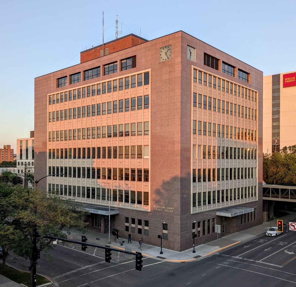
Photo: Wikipedia
Strategic Assessment of Yellowstone County
Strong survivability profile. Good buffer from population centers, with manageable environmental and tactical risks.
What does the Strategic Assessment tell us?
Our Strategic Assessment grades tactical survivability of an area. Major population centers, military targets, fallout zones, natural disasters, and border exposure all drive risk — lower exposure means a more defensible position in a crisis.
This is heavily inspired by Joel Skousen's Strategic Relocation book. Highly recommended you checkout the book ($)What does this tell us?
Our Strategic Assessment grades tactical survivability of an area. Major population centers, military targets, fallout zones, natural disasters, and border exposure all drive risk — lower exposure means a more defensible position in a crisis.
This is heavily inspired by Joel Skousen's Strategic Relocation book. Highly recommended you checkout the book ($)Strategic Pillars

Key Distances
Strategic Assessment Analysis
Yellowstone County, anchored by Billings, offers a compelling mix of geographic isolation and logistical centrality that makes it a serious contender for relocation-minded individuals and families focused on resilience. The county sits on the high plains at the edge of the Rocky Mountain front, far from the coastal megacities and their associated vulnerabilities, yet it functions as Montana’s economic and transportation hub. This dual character—remote enough to avoid the worst fallout scenarios, connected enough to sustain modern life—gives the area a strategic footing that few other inland counties can match.
Geographic position and natural advantages for long-term stability
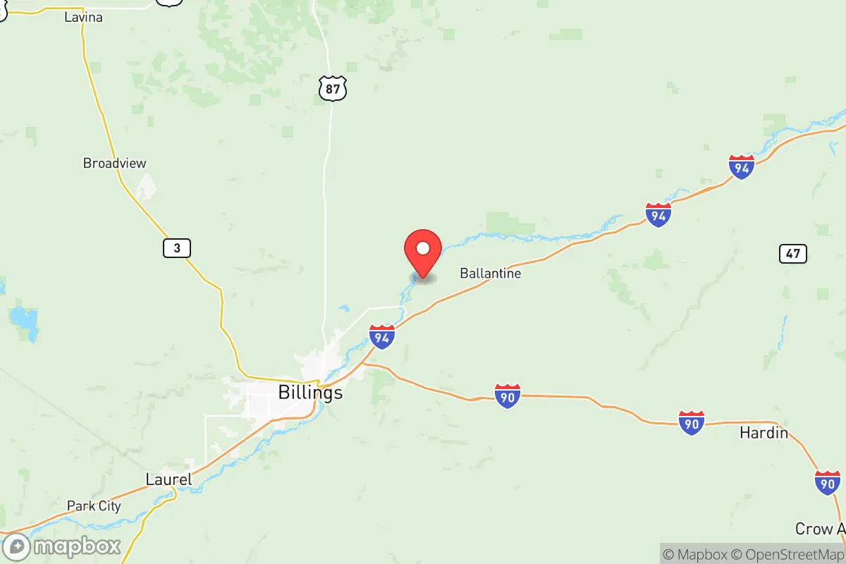
Yellowstone County’s location is its primary asset. Billings, the county seat and Montana’s largest city, lies in the Yellowstone River Valley, sheltered by the Rimrocks—a 500-foot sandstone escarpment that provides a natural defensive barrier to the south and east. The county is roughly 200 miles from the nearest major interstate highway (I-94 in North Dakota) and over 300 miles from the nearest major metropolitan area (Denver or Salt Lake City), placing it well outside the primary blast and fallout zones of any plausible nuclear or industrial disaster targeting the West Coast or the Front Range. The Yellowstone River itself is a perennial, snow-fed water source that runs through the heart of the county, providing a reliable supply for agriculture, livestock, and household use. The surrounding landscape is a mix of irrigated farmland, rangeland, and the Custer Gallatin National Forest to the southwest, offering both agricultural potential and timber resources. The county’s elevation—averaging around 3,100 feet—means a dry, four-season climate with low humidity, reducing the risk of mold, rot, and pest infestations that plague wetter regions. Winters are cold but manageable, with average January lows around 15°F, and summers are warm and dry, ideal for extended outdoor work and food production.
Risks, exposures, and proximity to fallout-relevant landmarks
No location is without risk, and Yellowstone County has specific exposures that a relocator must weigh. The most significant is the presence of the Billings Refinery, a major oil refinery operated by ExxonMobil that processes roughly 60,000 barrels of crude per day. It sits just north of downtown Billings, near the Yellowstone River. A catastrophic failure, whether from accident, sabotage, or earthquake, could release toxic clouds or ignite a fire that would affect a several-mile radius. The refinery is a Tier 1 target in any conflict scenario, and its proximity to the river means a spill could contaminate the primary water source for much of the county. Additionally, the Lockwood area, directly east of Billings, contains a rail yard and several chemical storage facilities that handle anhydrous ammonia and other agricultural chemicals. The county is also crossed by two major rail lines—the BNSF Hi-Line and the Montana Rail Link—that carry crude oil, propane, and other hazardous materials. A derailment or attack on a train in the Yellowstone River canyon could have cascading effects. On the natural hazard side, Yellowstone County sits in a seismically quiet zone, but the nearby Beartooth Front is a fault line capable of producing a magnitude 6.0 earthquake, which could damage older infrastructure in Billings and the smaller towns of Laurel and Columbus. Wildfire risk is moderate but growing; the 2021 West End Fire burned over 1,000 acres within the Billings city limits, and the Shepherd area to the east has seen repeated grass fires during drought years. Finally, while the county is far from coastal fallout, it lies within the downwind plume of any nuclear event at Malmstrom Air Force Base (Great Falls, 200 miles northwest) or Minot Air Force Base (North Dakota, 300 miles east), both of which are primary strategic targets. A ground burst at either facility could deposit fallout across eastern Montana within hours, depending on wind direction.
Practical resilience for a relocator: food, water, energy, and defensibility
For a family or individual serious about self-sufficiency, Yellowstone County offers strong fundamentals. Water is the county’s single greatest advantage. The Yellowstone River is a perennial, high-volume flow that does not dry up in summer, unlike many western rivers. Groundwater is also plentiful in the alluvial aquifer beneath the valley, with wells typically producing 20–50 gallons per minute at depths of 100–300 feet. The city of Billings draws its municipal water from the river, but rural properties in Worden, Huntley, and Ballantine rely on private wells, giving them independent water access. Food production is viable: the county has over 400,000 acres of irrigated farmland, producing sugar beets, corn, alfalfa, and small grains. The Yellowstone County Fairgrounds in Billings hosts a weekly farmers’ market from June through October, and there are dozens of u-pick orchards and vegetable farms within a 30-minute drive of the city. For long-term storage, the county has several grain elevators and a sugar beet processing plant in Billings Heights. Energy is a mixed picture. The county is served by the J.E. Corette Power Plant, a coal-fired plant near Billings that provides baseload electricity, but it is scheduled for retirement by 2028. The Yellowstone Valley Electric Cooperative provides power to rural areas, and many residents have installed solar panels, though net metering policies are limited. Natural gas is widely available in Billings and Laurel, but rural properties often rely on propane or heating oil. Defensibility is where the county’s geography shines. The Rimrocks provide a natural chokepoint: only a handful of roads ascend the escarpment, making it possible to control access to the Billings Heights and the eastern part of the county. The rural areas around Shepherd and Worden are flat and open, offering long sightlines, while the Pryor Mountains to the south provide rugged terrain for retreat. The county has a strong tradition of hunting and firearms ownership, with multiple gun clubs and a well-stocked retail market for ammunition and reloading supplies. The Billings Police Department and Yellowstone County Sheriff’s Office are professional and well-funded, but response times in rural areas can exceed 30 minutes, making personal preparedness essential.
The overall strategic picture for Yellowstone County is one of high potential tempered by specific, manageable risks. Its isolation from coastal and urban centers is a genuine advantage for fallout avoidance, and its water and agricultural resources are among the best in the inland West. The presence of the Billings Refinery and the rail corridors is a real vulnerability, but one that can be mitigated by choosing a residence upwind or at a distance—properties in the Pryor Creek area or south of the Rimrocks are well outside the refinery’s hazard zone. For a relocator who values self-sufficiency, a dry climate, and a community that still remembers how to grow food and fix machinery, Yellowstone County deserves serious consideration. It is not a bunker, but it is a place where a prepared family can build a durable life.

* Values derived from national, state, county, city and local statistics and may differ in a specific area. Last updated: 2026-06-16T02:20:33.000Z
Narrative content on this page is AI-generated and may contain mistakes. Verify any details that matter before acting on them.
ReloMaps may earn a commission from affiliate links at no extra cost to you.

