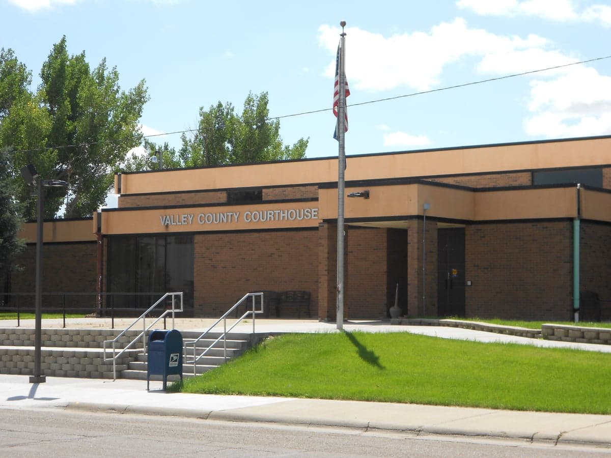
Photo: Wikipedia
Strategic Assessment of Valley County
Strong survivability profile. Good buffer from population centers, with manageable environmental and tactical risks.
What does the Strategic Assessment tell us?
Our Strategic Assessment grades tactical survivability of an area. Major population centers, military targets, fallout zones, natural disasters, and border exposure all drive risk — lower exposure means a more defensible position in a crisis.
This is heavily inspired by Joel Skousen's Strategic Relocation book. Highly recommended you checkout the book ($)What does this tell us?
Our Strategic Assessment grades tactical survivability of an area. Major population centers, military targets, fallout zones, natural disasters, and border exposure all drive risk — lower exposure means a more defensible position in a crisis.
This is heavily inspired by Joel Skousen's Strategic Relocation book. Highly recommended you checkout the book ($)Strategic Pillars

Key Distances
Strategic Assessment Analysis
Valley County, Montana offers a strong strategic position for those seeking resilience, self-sufficiency, and distance from dense population centers and major industrial fallout targets. Situated along the Missouri River and containing the Fort Peck Dam, the area provides reliable water resources, robust energy infrastructure, and a low population density that naturally reduces exposure to cascading societal disruptions. For a relocator prioritizing disaster readiness, Valley County balances geographic isolation with access to essential transport corridors, making it a credible option for long-term stability.
Geographic position and natural advantages for long-term stability
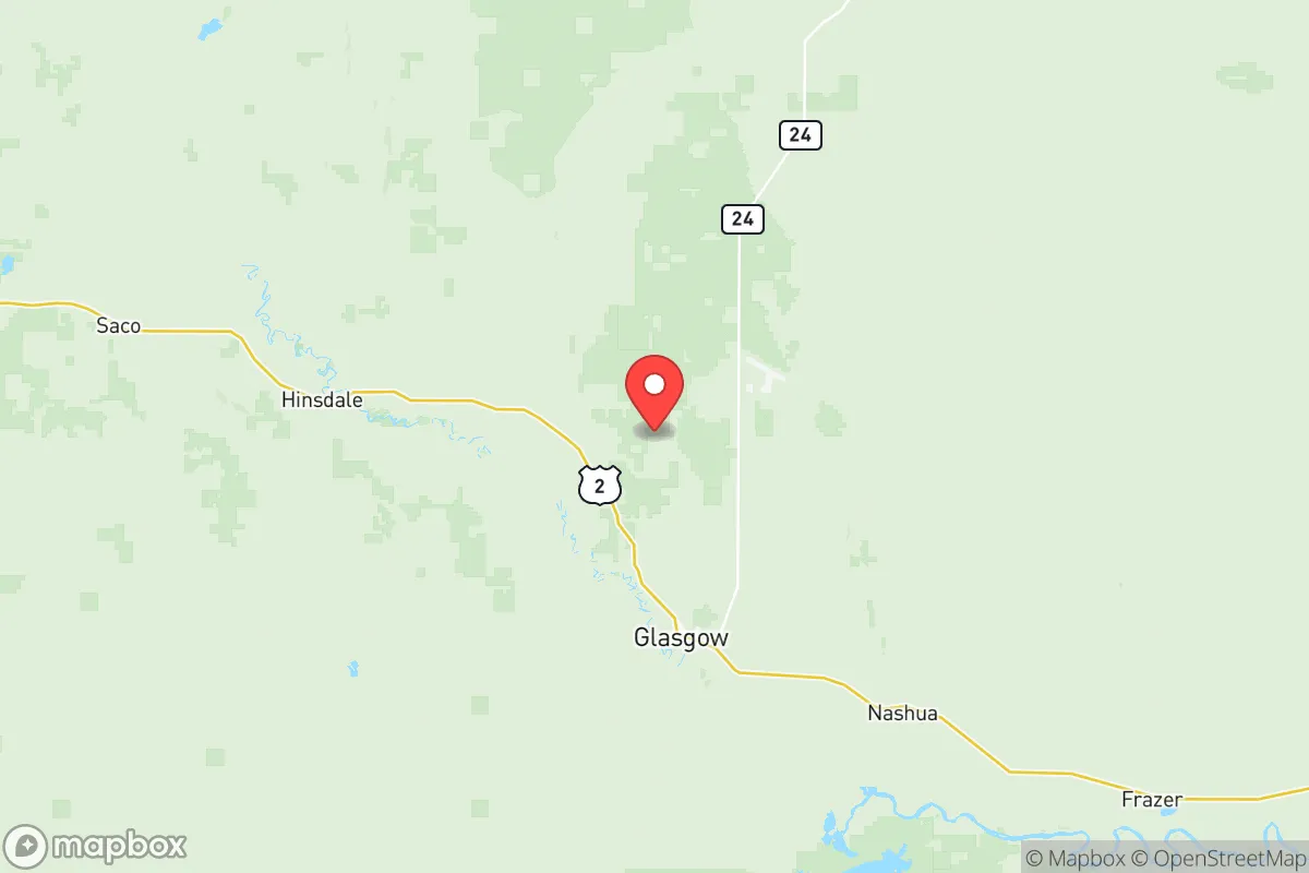
Valley County sits in northeastern Montana, roughly 100 miles from the Canadian border. Its primary population centers include Glasgow, the county seat, and smaller communities like Fort Peck and Nashua. The county’s defining geographic feature is the Fort Peck Dam, one of the largest earth-fill dams in the world, creating the Fort Peck Lake reservoir. This reservoir provides a substantial, defensible water supply that is independent of regional aquifers and unlikely to be compromised by drought or upstream contamination. The surrounding terrain is a mix of rolling plains and badlands, offering natural choke points and defensible positions without the tactical challenges of dense forest. The Missouri River itself functions as a natural barrier and transportation corridor, historically supporting trade and movement. The area’s low population density — roughly 7,600 residents across over 5,000 square miles — means that even in a severe event, demand for local resources would be manageable relative to supply.
Exposure to natural and man-made risks, including proximity to fallout-relevant landmarks
Valley County’s primary natural risks are wildfires during dry summers, blizzards and extreme cold in winter, and occasional tornadoes associated with the Northern Plains storm corridor. The wildfires are typically grass and brush fires rather than large forest fires, which reduces their destructive potential but still poses a threat to isolated structures. Blizzards can cut off road access for days, which underscores the need for robust home heating and food storage. Tornadoes in this region are less frequent and less intense than in Tornado Alley proper, but should still be factored into shelter planning. Regarding man-made risks, the area is remote from major industrial fallout targets. The nearest plausible target in Montana is the Malmstrom Air Force Base near Great Falls (about 150 miles west), home to Minuteman III missile silos. However, Valley County itself contains no military bases, no refineries, and no major ports. The closest major population center is Minot, North Dakota (about 120 miles east), which has an Air Force base but is still a secondary target relative to cities like Seattle or Denver. The Fort Peck Dam is a potential strategic target in a conflict (dams are Category I infrastructure), though its remote location and lack of nearby urban centers lower its probability of being a first-strike priority. The BNSF Railway mainline running through Glasgow and Nashua is a critical rail artery for grain and coal transport, but it is a corridor rather than a fixed installation, making it a low-value fallout target. Overall, the county’s isolation from high-value targets is a significant advantage.
Practical resilience for a relocator: food, water, energy, and defensibility
Water security is Valley County’s strongest practical asset. The Fort Peck Lake reservoir holds over 18 million acre-feet of water, and the dam’s hydroelectric plant generates reliable electricity. Residents drawing from municipal supplies or private wells near the river have a stable, low-risk water source. For off-grid setups, the shallow alluvial aquifer along the Missouri and Milk River valleys is accessible with moderate drilling depth. Energy is similarly robust: the Fort Peck Dam hydro plant feeds into the regional grid, and the county’s rural electric cooperatives maintain stable service. Solar and wind potential are high — the area averages over 200 sunny days per year and has consistent wind speeds around 12-15 mph — making supplementary renewable generation viable. Food production is feasible but requires planning. The growing season is short (120-140 frost-free days), and soils in much of the county are clay or sandy, limiting crop diversity. Cool-season crops (potatoes, carrots, grains) do well, and the Missouri River floodplain supports richer soil. Livestock grazing is the dominant agriculture; beef cattle and sheep are common. Hunting — deer, pronghorn, and waterfowl — supplements protein. Defensibility favors the relocator: county layout is defined by the river valley, with the surrounding plains offering long sight lines. Most properties are on gravel or dirt roads, creating natural access control. The population is sparse and generally self-reliant, with a strong tradition of neighbors helping neighbors — a cultural factor that bolsters community resilience. The nearest hospital is in Glasgow (Frances Mahon Deaconess Hospital), which is a small critical-access facility; trauma or specialist care requires a 2-3 hour drive to Billings or Great Falls, which is a notable vulnerability for medical emergencies.
For the strategic relocator, Valley County presents a coherent package: reliable water, stable energy, low population density, and distance from high-value targets. The trade-offs are real — harsh winters, limited medical infrastructure, and isolation from supply chains — but these are the same factors that make the area resilient. A household with adequate winterization, food storage, and a backup power source would find the county well-suited for long-term security. The presence of the Fort Peck Dam, the Missouri River corridor, and the absence of major industrial or military targets within the county itself form the backbone of a defensible, self-reliant lifestyle. For a family or individual serious about strategic relocation, Valley County warrants careful consideration.

* Values derived from national, state, county, city and local statistics and may differ in a specific area. Last updated: 2026-07-06T03:14:01.000Z
Narrative content on this page is AI-generated and may contain mistakes. Verify any details that matter before acting on them.
ReloMaps may earn a commission from affiliate links at no extra cost to you.

