Photo: Wikipedia
Strategic Assessment of Rosebud County
Deep buffer from population centers and strategic targets. Low natural disaster risk and minimal exposure to border or coastal threats.
What does the Strategic Assessment tell us?
Our Strategic Assessment grades tactical survivability of an area. Major population centers, military targets, fallout zones, natural disasters, and border exposure all drive risk — lower exposure means a more defensible position in a crisis.
This is heavily inspired by Joel Skousen's Strategic Relocation book. Highly recommended you checkout the book ($)What does this tell us?
Our Strategic Assessment grades tactical survivability of an area. Major population centers, military targets, fallout zones, natural disasters, and border exposure all drive risk — lower exposure means a more defensible position in a crisis.
This is heavily inspired by Joel Skousen's Strategic Relocation book. Highly recommended you checkout the book ($)Strategic Pillars

Key Distances
Strategic Assessment Analysis
Rosebud County, Montana, offers a strategic relocation option for those prioritizing resilience and self-sufficiency, combining low population density with significant distance from major metropolitan targets. The county's location along the Yellowstone River corridor provides a natural advantage for water access and agriculture, while its position in the southeastern part of the state places it well outside the primary fallout zones of the Intermountain West's critical infrastructure. For a relocator thinking seriously about disaster readiness, Rosebud County presents a compelling balance of isolation, resource availability, and practical defensibility, though it is not without its own exposures.
Geographic position and natural advantages for long-term security
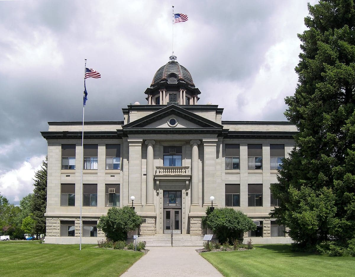
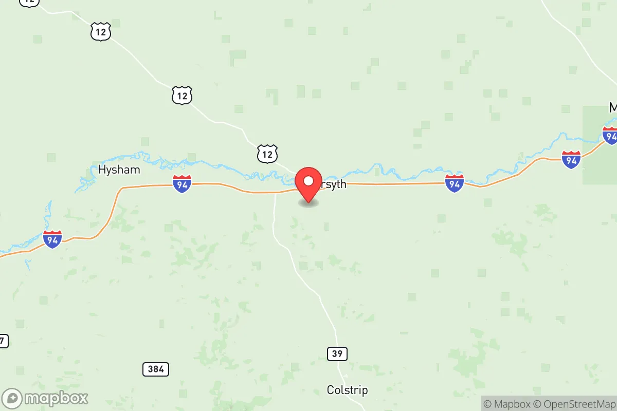
Rosebud County's geography is defined by the Yellowstone River Valley and the surrounding high plains, offering a mix of irrigated bottomland and expansive rangeland. The county seat, Forsyth, sits directly on the Yellowstone River, providing a reliable surface water source that is rare in much of the arid West. The county's location roughly 100 miles east of Billings and over 200 miles from the Montana-Idaho border region places it well away from the most densely populated Front Range corridors and the missile fields of north-central Montana. The Bull Mountains to the west and the Wolf Mountains to the south offer modest topographic relief and potential retreat areas, though the terrain is generally rolling plains rather than mountainous. The county's agricultural base—primarily cattle ranching and dryland wheat—means that local food production capacity is already in place, a significant advantage over more remote but less arable regions. The Tongue River Reservoir in the southern part of the county adds recreational water storage and a secondary water source, though it is seasonal and not as reliable as the Yellowstone.
Risks, exposures, and proximity to fallout-relevant landmarks
While Rosebud County is far from major metropolitan centers, it is not entirely free of strategic exposure. The county contains significant energy infrastructure, including the Colstrip coal-fired power plant and associated mining operations in the northern part of the county near the town of Colstrip. This facility is a potential target for both conventional and cyber attack, given its role in regional electricity generation. Additionally, the BNSF Railway mainline runs through Forsyth along the Yellowstone River, carrying coal, grain, and hazardous materials—a derailment or sabotage event could disrupt supply chains and contaminate the river corridor. The county is also within roughly 150 miles of Malmstrom Air Force Base near Great Falls, which controls Minuteman III ICBM silos spread across north-central Montana. While Rosebud County itself does not host missile silos, the broader region's strategic importance means that a major conflict could see secondary effects from attacks on these assets. Natural risks include severe winter storms, drought, and the potential for wildfire in the rangelands, though the county's low tree cover reduces catastrophic fire risk compared to forested western Montana. Tornadoes are possible but infrequent, and the Yellowstone River poses a flood risk during spring snowmelt, particularly in low-lying areas around Forsyth.
Practical resilience for a relocator: food, water, energy, and defensibility
For a relocator focused on self-sufficiency, Rosebud County offers strong fundamentals with some caveats. Water access is the county's strongest asset: the Yellowstone River provides a perennial surface water source, and groundwater in the alluvial aquifer is generally accessible via shallow wells in the river valley. Outside the valley, well depths increase significantly, and water quality can be variable due to high mineral content. Food production is viable for those with agricultural skills, as the county's growing season (roughly 120 frost-free days) supports cool-season crops, hay, and small grains. Local livestock operations mean that meat and dairy are available through direct purchase from ranchers, though processing infrastructure is limited—the nearest USDA-inspected slaughter facility is in Billings. Energy resilience is mixed: the Colstrip plant provides grid electricity, but its age and political pressure to close make long-term reliability uncertain. Off-grid solar is viable given the region's high solar insolation, though winter cloud cover and short daylight hours require battery storage and backup generation. Wood heating is possible but limited by the scarcity of dense forest—cottonwood along the river burns poorly compared to pine or fir. Defensibility is moderate: the open terrain offers good visibility but limited cover, and the county's low population density (roughly 1 person per square mile) means that a determined group could secure a large area with minimal confrontation. However, the lack of natural chokepoints and the presence of major transportation corridors (Interstate 94 and the BNSF line) mean that the county is not easily isolated from outside movement.
The overall strategic picture for Rosebud County is one of moderate-to-strong resilience with specific trade-offs. Its distance from major population centers and primary target zones is a genuine advantage, and the Yellowstone River provides a water security that many western counties lack. The presence of the Colstrip plant and the BNSF line introduces risks that are manageable for a prepared relocator—these are not catastrophic exposures like living near a major port or ICBM field, but they require awareness and contingency planning. For a family or individual willing to invest in off-grid energy, well water, and local food networks, Rosebud County offers a defensible, resource-rich base that balances isolation with access to the regional hub of Billings for specialized supplies and medical care. The county is not a survivalist fantasyland—it is a working agricultural region with real infrastructure and real vulnerabilities—but for the serious relocator, it represents one of the more viable options in the northern plains for long-term, independent living.

* Values derived from national, state, county, city and local statistics and may differ in a specific area. Last updated: 2026-07-16T18:28:30.000Z
Narrative content on this page is AI-generated and may contain mistakes. Verify any details that matter before acting on them.
ReloMaps may earn a commission from affiliate links at no extra cost to you.

