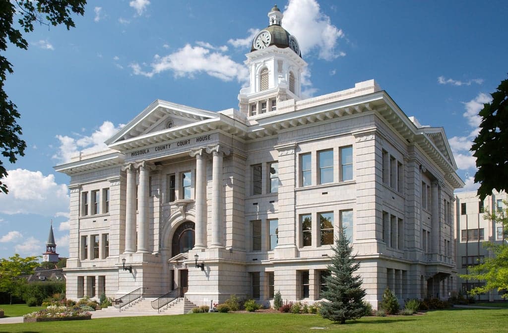
Photo: Wikipedia
Strategic Assessment of Missoula County
Strong survivability profile. Good buffer from population centers, with manageable environmental and tactical risks.
What does the Strategic Assessment tell us?
Our Strategic Assessment grades tactical survivability of an area. Major population centers, military targets, fallout zones, natural disasters, and border exposure all drive risk — lower exposure means a more defensible position in a crisis.
This is heavily inspired by Joel Skousen's Strategic Relocation book. Highly recommended you checkout the book ($)What does this tell us?
Our Strategic Assessment grades tactical survivability of an area. Major population centers, military targets, fallout zones, natural disasters, and border exposure all drive risk — lower exposure means a more defensible position in a crisis.
This is heavily inspired by Joel Skousen's Strategic Relocation book. Highly recommended you checkout the book ($)Strategic Pillars

Key Distances
Strategic Assessment Analysis
Missoula County offers a compelling mix of strategic depth and practical resilience for relocators prioritizing disaster readiness and self-sufficiency, though it is not without significant trade-offs. Nestled in western Montana’s Rocky Mountain front, the county benefits from a natural buffer of rugged terrain and distance from major metropolitan targets, while its position along the Clark Fork River and near the Bitterroot Valley provides access to water and agricultural land. However, its proximity to critical infrastructure like the Malmstrom Air Force Base missile fields and the BNSF Railway corridor—both potential secondary targets in a major conflict—means the area is not entirely off the grid. For a conservative-leaning audience weighing long-term security, Missoula County presents a mixed picture: strong geographic isolation but real exposure to man-made risks that require careful planning.
Geographic position and natural advantages for long-term security
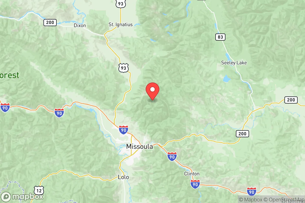
Missoula County’s location is its primary strategic asset. The county sits in a valley surrounded by the Lolo National Forest and the Bitterroot Mountains, creating a natural fortress of elevation and dense forest that limits easy access from the east or south. The Clark Fork River runs through the heart of the county, providing a reliable surface water source that is less vulnerable to contamination than groundwater in flatter regions. The county’s position roughly 120 miles from the Idaho border and 200 miles from the Canadian line places it far from the coastal population centers—Seattle, Portland, and Spokane—that would be primary targets in a nuclear exchange. The surrounding national forests also offer abundant timber for construction and fuel, while the Bitterroot Valley to the south is a known agricultural corridor with existing farms and ranches that could support local food production. For a relocator, this means a defensible perimeter with multiple escape routes into the backcountry, though the valley floor itself is narrow and could become a choke point if roads are blocked.
Risks, exposures, and proximity to fallout-relevant landmarks
The most serious risk for Missoula County is its proximity to Malmstrom Air Force Base, located about 100 miles east near Great Falls. Malmstrom is home to the 341st Missile Wing, which operates 150 Minuteman III intercontinental ballistic missiles spread across central Montana. While Missoula County is outside the immediate blast radius, prevailing westerly winds could carry fallout from a strike on Malmstrom or its missile silos directly over the county within hours. The BNSF Railway mainline running through Missoula is a secondary concern—it carries hazardous materials, including crude oil from the Bakken fields, and a derailment or attack could release toxic clouds. Additionally, the county’s Missoula International Airport and the nearby U.S. Highway 93 corridor are potential chokepoints for evacuation or supply movement, but they also make the area a plausible secondary target for conventional strikes. Natural risks include wildfire—the 2017 Lolo Peak Fire burned over 25,000 acres and threatened the city—and earthquake risk from the intermountain seismic zone, though major quakes are rare. Flooding along the Clark Fork River is a recurring issue, particularly in the spring, but is manageable with proper siting.
Practical resilience for a relocator: food, water, energy, and defensibility
For a relocator focused on self-sufficiency, Missoula County offers moderate but not exceptional practical resilience. Water access is strong: the Clark Fork River and its tributaries—like the Bitterroot River and Blackfoot River—provide year-round flow, and groundwater in the valley is generally shallow and potable with basic filtration. However, surface water requires treatment for giardia and industrial runoff, and the county’s municipal water system relies on a single treatment plant vulnerable to power loss. Food production is viable but limited: the valley floor has fertile alluvial soil, and the Missoula Farmers Market is one of the largest in the region, but the growing season is short (roughly 100-120 frost-free days), and large-scale agriculture is constrained by mountainous terrain. Local food storage is possible through root cellaring and canning, but long-term grain storage would require importing from eastern Montana. Energy resilience is a bright spot: the county is served by NorthWestern Energy, which draws from hydroelectric dams on the Clark Fork and Flathead River systems, providing a relatively stable grid. Solar potential is moderate—about 4.5 peak sun hours per day—and wood heating is common, with ample firewood from national forests (subject to permits). Defensibility is mixed: the valley is a natural funnel, with only a few major roads (I-90, U.S. 93, and Highway 200) that could be easily blocked, but the surrounding mountains offer numerous dispersed homestead sites with good line of sight. The county’s population of roughly 120,000 is concentrated in Missoula city, leaving large rural areas with low density—ideal for a relocator seeking isolation, but requiring a vehicle and fuel reserves for supply runs.
The overall strategic picture for Missoula County is one of calculated trade-offs. Its geographic isolation and natural resources make it a strong candidate for a relocator willing to invest in off-grid infrastructure—well water, solar panels, wood heat, and a defensible property with multiple egress routes. The primary vulnerability is the missile field to the east, which introduces a non-trivial fallout risk that demands a robust shelter plan and a stockpile of potassium iodide and air filtration. For a conservative-leaning family or individual, the county’s cultural and political climate—leaning left in the city but conservative in the rural areas—offers a mix of community resources and individual freedom. The key is to avoid the valley floor near I-90 and instead target properties in the Bitterroot Valley or the Seeley Lake area, where elevation and distance from infrastructure reduce exposure. Missoula County is not a bug-out location for a total collapse scenario, but for a strategic relocator planning for a range of disruptions—from economic instability to regional conflict—it provides a defensible base with enough natural capital to sustain a family through a prolonged crisis, provided the risks are acknowledged and mitigated.

* Values derived from national, state, county, city and local statistics and may differ in a specific area. Last updated: 2026-06-29T00:04:19.000Z
Narrative content on this page is AI-generated and may contain mistakes. Verify any details that matter before acting on them.
ReloMaps may earn a commission from affiliate links at no extra cost to you.

