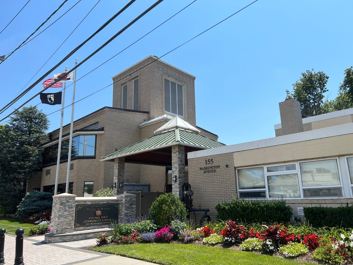
Photo: Wikipedia
Strategic Assessment of Mineola, NY
High tactical risk. This location is likely close to major population centers, strategic targets, or sits in a high-disaster corridor. A retreat property and careful exit planning is required.
What does the Strategic Assessment tell us?
Our Strategic Assessment grades tactical survivability of an area. Major population centers, military targets, fallout zones, natural disasters, and border exposure all drive risk — lower exposure means a more defensible position in a crisis.
This is heavily inspired by Joel Skousen's Strategic Relocation book. Highly recommended you checkout the book ($)What does this tell us?
Our Strategic Assessment grades tactical survivability of an area. Major population centers, military targets, fallout zones, natural disasters, and border exposure all drive risk — lower exposure means a more defensible position in a crisis.
This is heavily inspired by Joel Skousen's Strategic Relocation book. Highly recommended you checkout the book ($)Strategic Pillars

Key Distances
Regional Safe Places
Below is our recommended "safe zones" in New York and the surrounding area based on our strategic heuristics. For most people, it's unrealistic to live in a “safe zone” full-time due to work, family or other personal reasons. They tend to be more rural. However, many of these areas are perfect for second homes and retreat properties that double as a vacation home or even a short-term rental.




Important Note: For informational purposes only. This does not mean nothing bad ever happens in the green zones. Please use common sense. This is based on public data and modeled with AI. We tried to take a conservative approach but mistakes happen. We update this regularly as new information becomes available.
Solar Generator Recommendations
Backup power matters more here than in safer locations. We've picked three solar generators across budgets and capacity tiers — start with the budget unit if you only need a few essentials, or step up if you want to run a fridge and HVAC for days at a time.

Jackery Portable Power Station Explorer 300
Budget OptionPower on the Go: Weighing only 11 lbs, it's convenient to set up and store with book-sized foldable solar panels

BLUETTI Portable Power Station AC180
Designed for both indoor and outdoor scenarios, AC180 is highly capable as it has a robost capacity and continuous output power.

EF ECOFLOW DELTA Pro Ultra Power Station
Upgraded PickEcoFlow DELTA Pro Ultra is a whole-home energy system designed to grow with your family. Integrated with the Smart Home Panel 2, it scales to meet your evolving energy needs — keeping your home powered, intelligent, and secure through every stage of life.
We earn a commission, at no additional cost to you.
Strategic Assessment Analysis
Mineola, New York, presents a mixed strategic picture for the relocation-minded reader focused on resilience and self-sufficiency. While its position as the Nassau County seat offers robust infrastructure and economic stability, its location on Long Island—a densely populated, geographically constrained peninsula—introduces significant vulnerabilities that a serious preparedness-minded individual must weigh carefully. The village’s advantages are largely institutional and logistical, but its exposure to both natural and man-made risks is considerable, requiring a clear-eyed assessment of trade-offs rather than a simple endorsement.
Geographic position and natural advantages: a constrained but defensible core
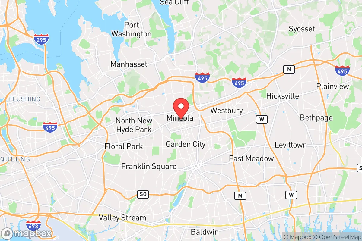
Mineola sits near the geographic center of Nassau County, roughly 20 miles east of Midtown Manhattan. This location provides excellent access to major transportation arteries—the Long Island Rail Road (LIRR) Mineola station is a major hub, and the village is bisected by both the Northern State Parkway and the Meadowbrook State Parkway. For a relocator, this means reliable connectivity for commuting or supply runs in normal times. The area’s natural advantages are modest but real: the local topography is flat and well-drained, with no significant floodplains within the village itself, though the surrounding region is crisscrossed by tidal creeks and low-lying areas prone to storm surge. Mineola’s elevation averages around 100 feet above sea level, which places it outside the most severe flood risk zones for a Category 1 or 2 hurricane, but not for a major storm like Sandy (2012), which caused widespread flooding in nearby communities. The village’s compact, walkable downtown—centered on Mineola Boulevard and Jericho Turnpike—offers a degree of defensibility in a grid-down scenario, as essential services and supplies are within a 15-minute walk for most residents. However, the surrounding suburban sprawl means that any localized disruption quickly becomes regional. The area’s primary natural advantage is its position on a glacial moraine, which provides stable, well-drained soils—good for basement shelters or root cellars—but this is offset by the lack of any significant natural barriers to slow a storm surge or wildfire.
Risks, exposures, and proximity to fallout-relevant landmarks
The most significant risk for Mineola is its proximity to high-value, high-risk targets. The village lies within 10 miles of John F. Kennedy International Airport (JFK) and LaGuardia Airport, both of which are potential targets for a kinetic or cyber attack. More critically, Mineola is roughly 15 miles from the Indian Point Energy Center (now decommissioned, but spent fuel remains on site) and within 30 miles of the New York City metropolitan area—a tier-one target for any state-level adversary. The Nassau County Supreme Court and county government buildings in Mineola itself are symbolic targets, though not likely primary ones. For a reader concerned with fallout or EMP scenarios, the density of the New York metro area means that Mineola sits within the likely fallout plume zone for a ground burst targeting Manhattan or the ports. Prevailing winds from the west would carry radioactive debris directly over Long Island. Additionally, the village is within the blast radius of a large conventional or low-yield nuclear device detonated in Midtown—a 10-kiloton airburst would produce lethal overpressure out to roughly 2 miles, but thermal effects and fallout would extend much farther. For natural hazards, the primary exposure is hurricane storm surge: Mineola is about 8 miles inland from the South Shore and 6 miles from the North Shore, placing it in the “moderate” surge zone for a Category 3 or higher storm. The area also faces increasing risk from extreme rainfall events—the 2021 Ida remnants dropped over 7 inches of rain in parts of Nassau County, causing flash flooding in low-lying areas near Mineola’s train station. Wildfire risk is negligible, but the dense suburban development creates a significant fire spread risk in a prolonged drought or following a seismic event.
Practical resilience for a relocator: food, water, energy, and defensibility
For a relocator prioritizing self-sufficiency, Mineola’s practical resilience is a mixed bag. Food security is moderate: the village has several supermarkets (Stop & Shop, Key Food) and a weekly farmers market (May–November), but local agriculture is virtually nonexistent. The nearest working farms are in Suffolk County, 30+ miles east. A serious prepper would need to stockpile at least a 90-day supply, as supply chains to Long Island are vulnerable to bridge and tunnel disruptions. Water security is a bright spot: Mineola’s municipal water comes from the Magothy and Lloyd aquifers, which are deep, protected, and generally resilient to surface contamination. The village operates its own water district with multiple wells, so a single-point failure is unlikely. However, the system relies on electric pumps—a prolonged grid outage would require a backup generator to maintain pressure. Energy resilience is weak: PSEG Long Island is the sole provider, and the grid is notoriously fragile during storms. Undergrounding of power lines is ongoing but incomplete. Solar is viable (the area gets about 200 sunny days per year), but net metering policies are state-controlled and subject to change. Natural gas is widely available for heating and cooking, which is a plus for off-grid cooking. Defensibility is poor: Mineola is a dense, walkable village with no natural chokepoints. The street grid is open, and the population density (roughly 8,000 people per square mile) means that any civil unrest or resource scarcity would quickly become a neighborhood-level problem. The Nassau County Police Department’s Third Precinct is located in Mineola, providing a rapid law enforcement response, but in a widespread emergency, police resources would be stretched thin. The village’s best defensive asset is its community cohesion—Mineola has active civic associations and a strong volunteer fire department (Mineola Fire Department, with four stations), which could organize neighborhood watches or mutual aid networks. For a relocator, the practical takeaway is that Mineola is a good location for community-based resilience (shared resources, skills, and labor) but a poor one for individual self-sufficiency (land, water catchment, off-grid energy).
The overall strategic picture for Mineola is one of calculated trade-offs. It offers institutional stability, excellent infrastructure, and a community that is likely to organize effectively in a crisis. But its geographic position on a narrow island, its proximity to high-value targets, and its dependence on fragile supply chains and a vulnerable grid make it a high-risk location for a relocator whose primary concern is long-term disaster readiness. For a family or individual who values access to urban resources and is willing to invest heavily in on-site stockpiles, backup power, and community networking, Mineola can work—but it is not a retreat location. It is a location for those who intend to ride out a crisis in place, leveraging the village’s institutional strengths while accepting its exposure. The prudent relocator would treat Mineola as a base for normal times and have a secondary plan—a bug-out location in the Hudson Valley or western New England—for the worst-case scenarios that this densely populated, strategically vulnerable corner of the country cannot avoid.

* Values derived from national, state, county, city and local statistics and may differ in a specific area. Last updated: 2026-09-21T01:08:41.000Z
Narrative content on this page is AI-generated and may contain mistakes. Verify any details that matter before acting on them.
ReloMaps may earn a commission from affiliate links at no extra cost to you.

