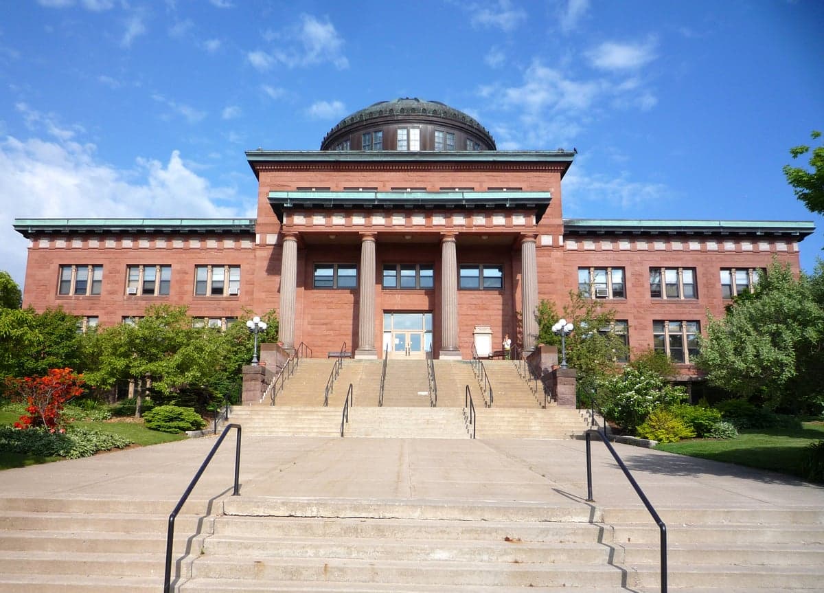
Photo: Wikipedia
Strategic Assessment of Marquette County
Workable tactical position. Some exposure to population density or targets, but generally defensible in a crisis.
What does the Strategic Assessment tell us?
Our Strategic Assessment grades tactical survivability of an area. Major population centers, military targets, fallout zones, natural disasters, and border exposure all drive risk — lower exposure means a more defensible position in a crisis.
This is heavily inspired by Joel Skousen's Strategic Relocation book. Highly recommended you checkout the book ($)What does this tell us?
Our Strategic Assessment grades tactical survivability of an area. Major population centers, military targets, fallout zones, natural disasters, and border exposure all drive risk — lower exposure means a more defensible position in a crisis.
This is heavily inspired by Joel Skousen's Strategic Relocation book. Highly recommended you checkout the book ($)Strategic Pillars

Key Distances
Strategic Assessment Analysis
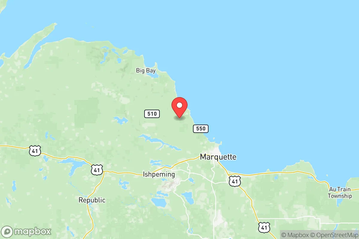
Marquette County offers a compelling strategic position for relocation-minded readers focused on resilience and self-sufficiency, combining the natural defenses of the Upper Peninsula with access to critical infrastructure that remains outside the most densely populated threat zones. The county’s location along the southern shore of Lake Superior, anchored by the city of Marquette and the smaller communities of Ishpeming and Negaunee, provides a buffer from the major metropolitan corridors of the Midwest while still maintaining practical connectivity. This area has historically served as a regional hub for mining, shipping, and government services, giving it a built-in economic and logistical foundation that many rural counties lack.
Geographic position and natural advantages for long-term stability
Marquette County sits roughly 350 miles north of Chicago and 200 miles northwest of Green Bay, placing it well outside the immediate fallout zones of major population centers like Detroit, Milwaukee, or Minneapolis. The county’s terrain is dominated by the Huron Mountains and extensive hardwood forests, which provide natural cover and reduce the risk of large-scale fire spread compared to drier western states. Lake Superior acts as a massive thermal regulator, moderating extreme temperature swings and providing an essentially unlimited freshwater source—the lake holds 10% of the world’s surface fresh water. The Presque Isle Harbor in Marquette is a deep-water port capable of handling lake freighters, which could serve as a supply corridor if overland routes are compromised. The county’s elevation, averaging 1,200 feet above sea level, places it above most floodplain risks, and the underlying bedrock—primarily Precambrian granite and iron formations—offers stable ground for any underground construction or water well drilling.
Risks, exposures, and proximity to fallout-relevant landmarks
While Marquette County avoids the worst of urban proximity risks, it is not without exposure. The county contains the K.I. Sawyer Air Force Base (now a civilian airport and industrial park), which was formerly a Strategic Air Command base with nuclear-capable bombers—any residual contamination or reoccupation scenario could draw attention. The Empire and Tilden iron ore mines near Negaunee are active industrial sites that process and ship millions of tons of ore annually; their rail and port infrastructure could become chokepoints in a crisis. The county is also within 150 miles of the Enrico Fermi Nuclear Generating Station near Monroe, Michigan, and the Palisades Nuclear Plant in Covert, Michigan—both are decommissioning or operating facilities that could pose a secondary fallout risk depending on wind patterns. Natural hazards include severe lake-effect snow (averaging 150–200 inches annually in the higher elevations), which can isolate communities for days, and the occasional derecho or ice storm that knocks out power for extended periods. The county’s position along the Lake Superior shoreline also means it is exposed to potential seiche events or storm surges, though these are rare and typically minor compared to coastal hurricane zones.
Practical resilience for a relocator: food, water, energy, and defensibility
For a relocator serious about self-sufficiency, Marquette County offers strong fundamentals. Water is abundant: the county sits atop the Marquette Trench aquifer, a deep bedrock aquifer that provides clean groundwater to most rural properties, and surface water is everywhere—over 300 inland lakes and countless streams. Well drilling is straightforward and costs typically range from $3,000 to $8,000 for a residential well. Food production is limited by a short growing season (roughly 90–110 frost-free days), but the county has a strong tradition of deer hunting (the Upper Peninsula’s deer herd is healthy), fishing in Lake Superior and inland waters, and small-scale market gardening in the southern part of the county around Gwinn. The Marquette Food Co-op and local farmers’ markets provide some redundancy, but long-term food security would require greenhouse investment or stockpiling. Energy infrastructure is a mixed bag: the county is served by the Presque Isle Power Plant (a coal and natural gas facility) and the Marquette Board of Light and Power system, but the grid is vulnerable to winter storms. Solar potential is moderate (about 4.2 peak sun hours per day), and wood heating is extremely common—over 40% of homes use wood as a primary or secondary heat source. Defensibility is a key advantage: the county’s geography—bounded by Lake Superior to the north, dense forests to the south and west, and limited road access (only two major highways, US-41 and M-28, connect it to the rest of the UP)—makes it naturally chokepoint-friendly. The population density is low (about 40 people per square mile in the rural areas), and the terrain offers numerous defensible positions in the hills and along the lake bluffs. However, the county’s reliance on a single major hospital (UP Health System – Marquette) and a single airport (Sawyer International) means that medical evacuation or supply resupply could be bottlenecked in a widespread crisis.
Overall, Marquette County presents a balanced strategic picture for the resilience-minded relocator. It avoids the worst of urban fallout risks while offering abundant water, defensible terrain, and a functional regional economy that can support a transition to self-sufficiency. The trade-offs are real: a harsh winter climate, limited growing season, and dependence on a few critical infrastructure nodes. For a single individual or family willing to invest in winter preparedness, wood heat, and a greenhouse, the county provides a solid foundation for long-term stability without the extreme isolation of more remote Alaskan or Canadian options. The presence of active mining and shipping operations means the area will remain on the radar of any regional logistics network, which is both a risk and a resource—depending on how the crisis unfolds.

* Values derived from national, state, county, city and local statistics and may differ in a specific area. Last updated: 2026-07-24T06:01:11.000Z
Narrative content on this page is AI-generated and may contain mistakes. Verify any details that matter before acting on them.
ReloMaps may earn a commission from affiliate links at no extra cost to you.

