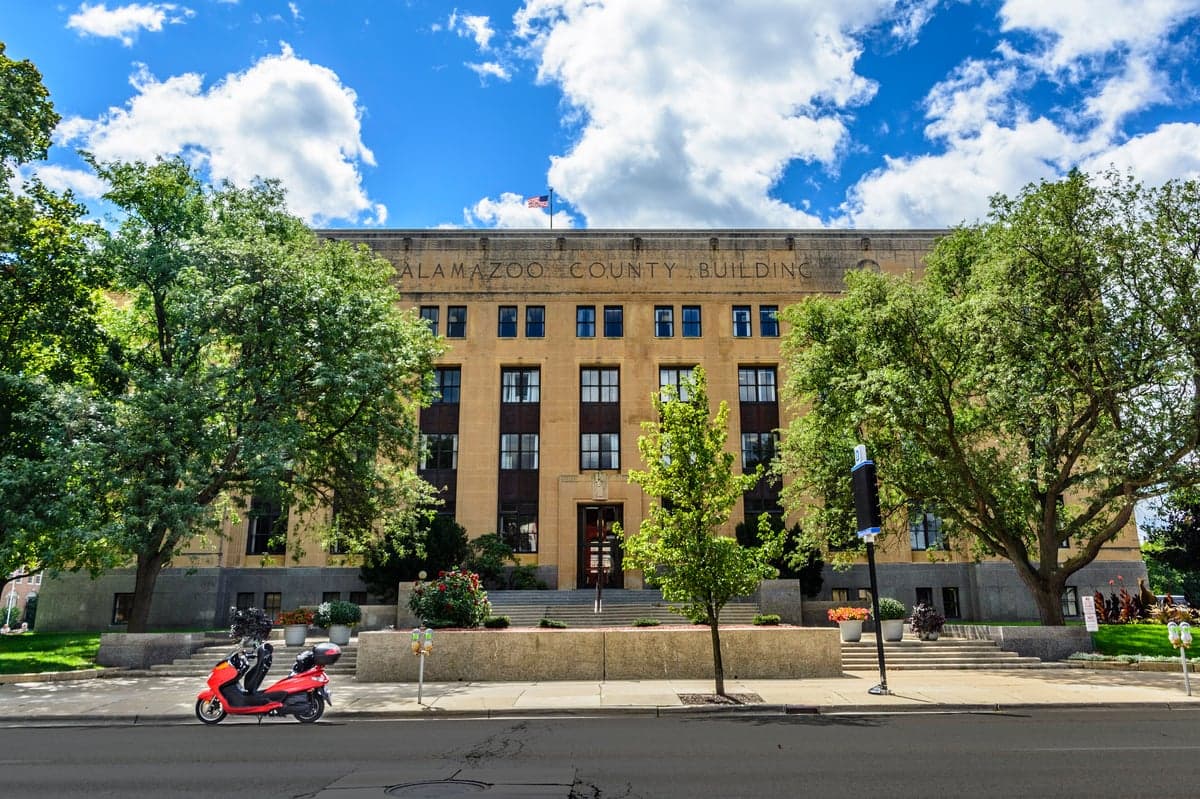
Photo: Wikipedia
Strategic Assessment of Kalamazoo County
Meaningful friction. Expect exposure to either population pressure, blast zones, or natural disaster risk. Consider buying a retreat property.
What does the Strategic Assessment tell us?
Our Strategic Assessment grades tactical survivability of an area. Major population centers, military targets, fallout zones, natural disasters, and border exposure all drive risk — lower exposure means a more defensible position in a crisis.
This is heavily inspired by Joel Skousen's Strategic Relocation book. Highly recommended you checkout the book ($)What does this tell us?
Our Strategic Assessment grades tactical survivability of an area. Major population centers, military targets, fallout zones, natural disasters, and border exposure all drive risk — lower exposure means a more defensible position in a crisis.
This is heavily inspired by Joel Skousen's Strategic Relocation book. Highly recommended you checkout the book ($)Strategic Pillars

Key Distances
Strategic Assessment Analysis
Kalamazoo County offers a mixed strategic picture for relocators prioritizing disaster readiness and self-sufficiency: its inland position in Southwest Michigan provides meaningful distance from coastal hurricane zones and major seismic faults, but its location along the I-94 corridor and proximity to several industrial and military-adjacent sites introduces distinct man-made risk exposures that require careful evaluation. The county's agricultural base, ample freshwater access, and moderate population density create a foundation for practical resilience, though the area's economic and logistical integration with larger urban centers like Grand Rapids and Detroit means it is not as isolated as some might prefer for a full retreat scenario.
Geographic position and natural advantages for self-sufficiency
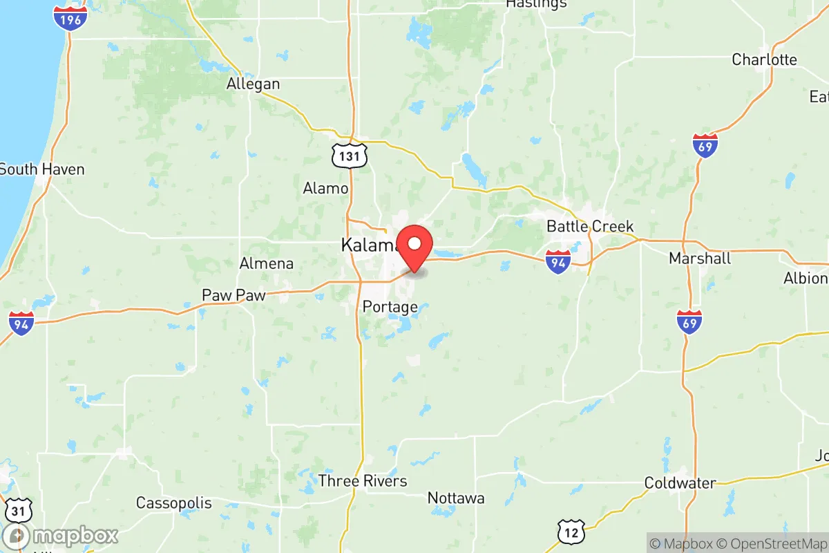
Kalamazoo County sits roughly 50 miles east of Lake Michigan and 140 miles west of Detroit, placing it in a temperate zone with four distinct seasons and reliable annual rainfall averaging 35-40 inches. This precipitation supports robust local agriculture; the county is part of Michigan's fruit belt, with numerous orchards, vineyards, and vegetable farms surrounding towns like Parchment, Oshtemo, and Comstock. The Kalamazoo River runs through the county, providing a surface water source, while the underlying glacial aquifer system offers groundwater access for those with well-drilling capability. The terrain is gently rolling, with no significant floodplains outside immediate river corridors, and the county sits well inland from the Lake Michigan shoreline, reducing exposure to lake-effect snow extremes compared to areas directly east of the lake. For a relocator seeking defensible space, the rural townships north and west of Kalamazoo city — such as Cooper Township and Alamo Township — offer larger parcel sizes, lower population density, and tree cover that provides both screening and a source of firewood.
Risk exposures: proximity to industrial, military, and infrastructure targets
The most significant strategic liability for Kalamazoo County is its position along the I-94 corridor, a major east-west transportation artery that connects Chicago to Detroit and carries substantial freight traffic, including hazardous materials. The county is also home to the Kalamazoo/Battle Creek International Airport, which hosts general aviation and some military cargo operations, and lies roughly 30 miles west of the Battle Creek Air National Guard Base (home to the 110th Wing), a potential target in a conflict scenario. Within the county itself, the Kalamazoo River oil spill of 2010 — a major pipeline rupture near Marshall — demonstrated the vulnerability of the region's aging energy infrastructure; multiple natural gas and liquid petroleum pipelines traverse the county, including the Enbridge Line 5 and Line 6B systems. For a reader concerned about industrial accidents or targeted strikes, the county's concentration of pharmaceutical manufacturing (Pfizer has a major facility in Portage) and chemical processing plants adds another layer of risk. Tornado risk is moderate but real, with the county averaging one or two tornado warnings per year, and severe thunderstorms can produce damaging winds and hail that threaten above-ground infrastructure and crops.
Practical resilience: food, water, energy, and defensibility for a relocator
On the practical resilience front, Kalamazoo County scores well on food and water but less so on energy independence and defensibility. The agricultural base is genuine: the county has over 1,000 farms, with significant production of corn, soybeans, wheat, and livestock, and farmers markets operate year-round in Kalamazoo and Portage. For a relocator willing to garden or raise small livestock, the growing season runs roughly from late April to mid-October, and soil quality in the river valleys is good. Water access is the county's strongest asset — the Kalamazoo River and its tributaries (including Portage Creek and Arcadia Creek) provide surface water, and groundwater is generally accessible at depths of 50-150 feet across most of the county. However, energy resilience is a weak point: the county's grid is served by Consumers Energy and Indiana Michigan Power, both of which have experienced outage events during storms, and natural gas is the primary heating fuel for most homes. Solar potential is moderate (Michigan averages 4-5 peak sun hours per day in summer, dropping to 1-2 in winter), making off-grid solar a seasonal supplement rather than a year-round solution. For defensibility, the county's rural townships offer good options — properties with tree lines, gravel roads, and distance from main highways provide natural screening and limited approach routes — but the overall population density of roughly 250 people per square mile in the county (and over 1,000 in Kalamazoo city proper) means that a determined evacuee or resource-seeker could reach most locations within an hour's drive.
Overall, Kalamazoo County presents a viable but not optimal strategic option for the disaster-conscious relocator. Its inland location, freshwater abundance, and agricultural capacity provide a solid baseline for self-sufficiency, and the rural townships offer defensible property options at relatively affordable prices compared to similar areas in Colorado or the Pacific Northwest. However, the county's position along a major transportation corridor, its proximity to military and industrial targets in Battle Creek and Portage, and its moderate population density mean it is not a true retreat location — it is a semi-rural buffer zone with real but manageable risks. For a relocator willing to invest in backup power, water storage, and a well, and who chooses a property in the northern or western townships away from I-94 and the airport, Kalamazoo County can serve as a functional base for a prepared household. Those seeking true isolation or zero industrial exposure should look farther north in Michigan's Lower Peninsula or into the Upper Peninsula, where population density drops and target value decreases significantly.

* Values derived from national, state, county, city and local statistics and may differ in a specific area. Last updated: 2026-06-15T23:40:36.000Z
Narrative content on this page is AI-generated and may contain mistakes. Verify any details that matter before acting on them.
ReloMaps may earn a commission from affiliate links at no extra cost to you.

