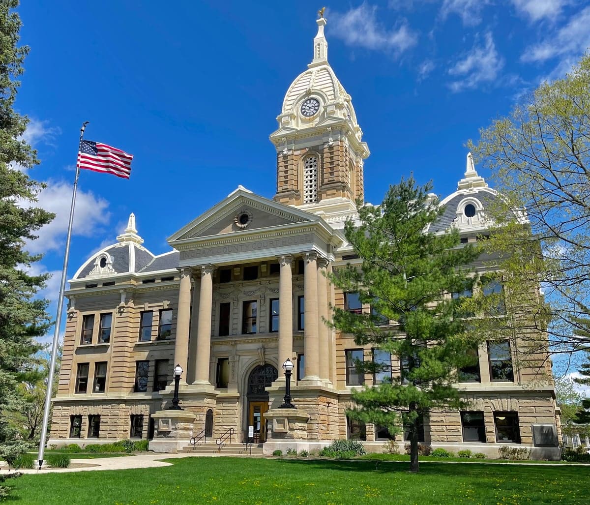
Photo: Wikipedia
Strategic Assessment of Ingham County
Meaningful friction. Expect exposure to either population pressure, blast zones, or natural disaster risk. Consider buying a retreat property.
What does the Strategic Assessment tell us?
Our Strategic Assessment grades tactical survivability of an area. Major population centers, military targets, fallout zones, natural disasters, and border exposure all drive risk — lower exposure means a more defensible position in a crisis.
This is heavily inspired by Joel Skousen's Strategic Relocation book. Highly recommended you checkout the book ($)What does this tell us?
Our Strategic Assessment grades tactical survivability of an area. Major population centers, military targets, fallout zones, natural disasters, and border exposure all drive risk — lower exposure means a more defensible position in a crisis.
This is heavily inspired by Joel Skousen's Strategic Relocation book. Highly recommended you checkout the book ($)Strategic Pillars

Key Distances
Strategic Assessment Analysis
Ingham County, anchored by the state capital of Lansing and the academic hub of East Lansing, presents a mixed strategic picture for relocators prioritizing disaster readiness and self-sufficiency. Its position in south-central Michigan offers a balance of access to Great Lakes freshwater resources and distance from the highest-risk coastal and metropolitan zones, but its own urban centers and industrial infrastructure introduce specific vulnerabilities that a serious preparedness-minded household must weigh. The county’s resilience profile is defined by moderate geographic insulation, a solid agricultural base, and manageable population density, offset by exposure to aging industrial sites, a major university research reactor, and the logistical challenges of a region that depends on just-in-time supply chains.
Geographic position and natural advantages for preparedness
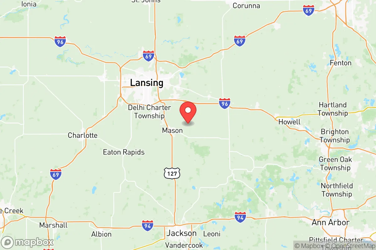
Ingham County sits roughly 90 miles northwest of Detroit and 60 miles south of Saginaw Bay, placing it outside the immediate blast or fallout zones of Michigan’s largest population centers while still within a reasonable distance of Great Lakes water. The county’s terrain is predominantly flat to gently rolling glacial till, with the Grand River and the Red Cedar River cutting through Lansing and East Lansing, providing surface water sources that could supplement well water in a prolonged grid-down scenario. The area’s agricultural capacity is a genuine asset: Ingham County contains over 1,200 farms covering roughly 200,000 acres, with significant production of corn, soybeans, and wheat, plus a growing number of smaller vegetable and livestock operations near Williamston, Dansville, and Stockbridge. This local food infrastructure means a relocator with land or cooperative arrangements could access fresh produce and grain without relying on long-haul trucking. The county’s position in USDA hardiness zone 6a supports a reliable growing season of roughly 150 days, enough for staple crops and cold-hardy perennials. Winters are cold but not extreme, with average January lows around 16°F, which reduces but does not eliminate the risk of fatal hypothermia in an extended power outage. The absence of major fault lines, hurricane tracks, or wildfire corridors further lowers the natural-disaster baseline compared to the West Coast or Gulf states.
Risks, exposures, and proximity to fallout-relevant landmarks
The most significant man-made risk within Ingham County is the TRIGA research reactor at Michigan State University in East Lansing, a 250 kW pool-type reactor used for neutron radiography and materials testing. While not a commercial power plant, its presence means a radiological release scenario—however unlikely—would directly threaten the county’s most densely populated corridor along the I-96 and US-127 interchange. The reactor is licensed by the NRC and has a well-documented safety record, but for a relocator applying a strict risk calculus, living within the 10-mile emergency planning zone (which covers much of East Lansing, Haslett, and Okemos) is a measurable liability. Beyond the reactor, Ingham County hosts several Superfund and brownfield sites, including the former Motor Wheel Corporation plant in Lansing and the Gratiot County landfill just north of the county line, both of which involve groundwater contamination plumes that could affect well water in specific areas. The county’s industrial base is concentrated in Lansing’s south side and along the Grand River corridor, with legacy auto manufacturing facilities (the Lansing Grand River Assembly plant and the former GM Delta Township complex) that store industrial chemicals and generate hazardous waste. For a relocator concerned about cascading failures, the Erickson Station power plant in Lansing’s Delta Township—a natural gas-fired peaker plant—represents a potential target for grid disruption, though its strategic value is lower than the large coal plants in Monroe County or the Fermi 2 nuclear plant near Detroit. The county’s proximity to Detroit Metropolitan Airport (DTW) and the Willow Run bomber plant historical site, both roughly 70 miles southeast, places it within the secondary fallout zone of a major airfield or logistics hub strike, though not in the primary blast radius. The Enbridge Line 5 pipeline controversy in the Straits of Mackinac is too distant to pose a direct threat, but the county’s natural gas distribution network relies on the same regional pipeline grid that could be disrupted by a major incident upstream.
Practical resilience for a relocator: food, water, energy, and defensibility
Water availability in Ingham County is above average for the Midwest. The Grand River flows through the heart of Lansing and provides a year-round surface water source, though its industrial history means treatment is essential before consumption. The county’s glacial aquifers are generally productive, with most rural properties outside the urbanized townships (Alaiedon, Aurelius, Bunker Hill) capable of supporting a drilled well at depths of 80 to 200 feet. The Lansing Board of Water & Light (BWL) draws from the Grand River and groundwater wells, but a relocator should verify that a prospective property has a tested private well or a documented backup plan, as municipal water treatment plants are vulnerable to power loss and chemical contamination. Food resilience is the county’s strongest card: the Ingham County Farm Bureau and the MSU Student Organic Farm provide a network of local producers, and the county’s farmers’ markets (Lansing City Market, East Lansing Farmers Market, Williamston Farmers Market) operate from May through October. For long-term storage, the county’s climate allows for root cellaring and cold storage of apples, potatoes, and winter squash from local orchards near Mason and Leslie. Energy resilience is more challenging. The county’s grid is served by BWL and Consumers Energy, both of which have experienced outage durations of 24–72 hours during severe ice storms (notably the December 2022 ice storm that left 15,000 customers without power in the Lansing area). Solar potential is moderate: the county averages 170 sunny days per year, below the national average of 205, but a properly sized off-grid solar array with battery storage can meet basic household loads for 8–9 months of the year, with a generator needed for the deep-cloud winter months. Natural gas is widely available in urban and suburban areas, but rural properties east of Williamston and south of Leslie may rely on propane or heating oil, which introduces supply-chain risk. Defensibility is a mixed picture. The county’s terrain offers no natural chokepoints or high ground; the flat agricultural landscape makes it difficult to secure a large perimeter. However, the rural townships of Ingham County—especially Ingham, Leroy, and White Oak—offer low population density (under 50 people per square mile) and limited road access, with dead-end gravel roads that can be monitored and controlled more easily than the grid-pattern suburbs of Okemos or Holt. The presence of the Michigan State Police headquarters in Lansing and the Ingham County Sheriff’s Office in Mason means law enforcement response times in rural areas are typically 15–30 minutes, which is acceptable for a prepared household but not for those expecting immediate assistance.
The overall strategic picture for Ingham County is one of moderate resilience with specific trade-offs. The county offers genuine advantages in local food production, surface and groundwater access, and a climate that supports year-round habitation without extreme weather events. Its distance from Detroit, Chicago, and the Lake Michigan shoreline reduces exposure to the highest-risk targets, but the presence of the MSU research reactor, legacy industrial contamination, and a power grid vulnerable to ice storms means a relocator cannot assume safety without preparation. The best defensive posture within the county is a well-selected rural property in the eastern or southern townships—Williamston, Dansville, or Stockbridge—where well water, garden space, and low traffic density provide a buffer against the cascading failures that would most affect Lansing’s urban core. For a family willing to invest in a drilled well, solar backup, and a year’s worth of stored food, Ingham County is a viable relocation option that balances access to medical and logistical resources (MSU’s veterinary and agricultural expertise, the Lansing airport, major highways) with a baseline level of geographic insulation. It is not a bug-out destination for the post-collapse scenario, but it is a defensible, resource-rich county for those who treat preparedness as a continuous practice rather than a one-time purchase.

* Values derived from national, state, county, city and local statistics and may differ in a specific area. Last updated: 2026-06-15T19:40:47.000Z
Narrative content on this page is AI-generated and may contain mistakes. Verify any details that matter before acting on them.
ReloMaps may earn a commission from affiliate links at no extra cost to you.

