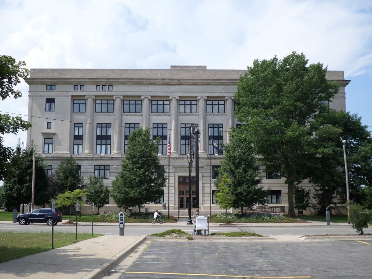
Photo: Wikipedia
Strategic Assessment of Genesee County
Meaningful friction. Expect exposure to either population pressure, blast zones, or natural disaster risk. Consider buying a retreat property.
What does the Strategic Assessment tell us?
Our Strategic Assessment grades tactical survivability of an area. Major population centers, military targets, fallout zones, natural disasters, and border exposure all drive risk — lower exposure means a more defensible position in a crisis.
This is heavily inspired by Joel Skousen's Strategic Relocation book. Highly recommended you checkout the book ($)What does this tell us?
Our Strategic Assessment grades tactical survivability of an area. Major population centers, military targets, fallout zones, natural disasters, and border exposure all drive risk — lower exposure means a more defensible position in a crisis.
This is heavily inspired by Joel Skousen's Strategic Relocation book. Highly recommended you checkout the book ($)Strategic Pillars

Key Distances
Strategic Assessment Analysis
Genesee County, anchored by Flint, offers a mixed strategic picture for relocators focused on resilience and self-sufficiency. Its position in the heart of Michigan’s Lower Peninsula provides moderate geographic advantages—distance from coastal storm surges and major fault lines—but its proximity to Detroit’s sprawling metroplex and the region’s heavy industrial corridor introduces significant man-made risk exposures. For a conservative-leaning individual or family weighing disaster readiness, the county’s value lies in its affordable land, access to freshwater, and relative isolation from the most extreme natural threats, though these are balanced by vulnerabilities tied to aging infrastructure and nearby fallout-relevant targets.
Geographic position and natural advantages for self-sufficiency
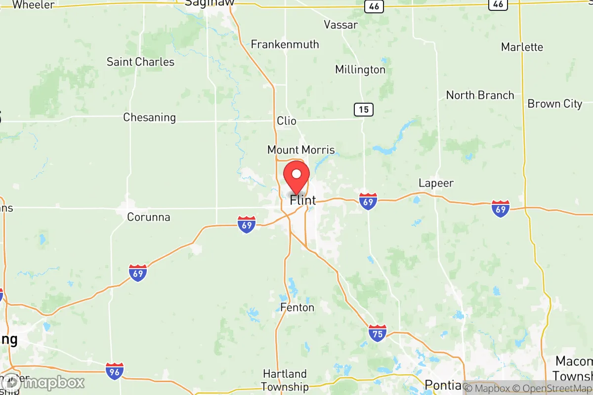
Genesee County sits roughly 60 miles northwest of Detroit and 70 miles northeast of Lansing, placing it in a transitional zone between urban sprawl and Michigan’s rural interior. The county’s landscape is defined by gently rolling hills, numerous small lakes, and the Flint River watershed, which provides a reliable surface water source. The area lies outside the highest-risk zones for tornadoes (which concentrate further west in the Great Plains) and is far from hurricane-prone coasts, though severe thunderstorms and occasional ice storms are annual realities. The county’s position on the Saginaw Bay lowlands means it avoids the heavy lake-effect snow belts of western Michigan—Flint averages about 30 inches of snow annually, compared to 100+ inches in places like Traverse City. This moderate climate reduces the energy burden for winter heating and makes year-round food production more feasible. The presence of the Flint River and dozens of smaller inland lakes offers a decentralized water supply, critical for off-grid planning, though water quality in the Flint system has been compromised by the city’s lead crisis and requires treatment. The county’s agricultural land—primarily in the southern and western townships like Fenton, Grand Blanc, and Davison—supports small-scale farming, with sandy loam soils suitable for row crops and pasture. For a relocator, the key natural advantage is the ability to secure a rural or semi-rural property within 30 minutes of Flint’s limited services while maintaining access to the Great Lakes basin’s vast freshwater resources.
Man-made risks, industrial exposure, and proximity to fallout-relevant landmarks
Genesee County’s resilience profile is heavily shaped by its industrial history and location within a broader manufacturing corridor. The most significant man-made risk is the Flint water system, a legacy of the 2014-2019 lead contamination crisis that exposed systemic infrastructure fragility. While municipal water in Flint remains under monitoring, well water in outlying townships is generally safe but requires testing for agricultural runoff and industrial contaminants. The county sits within 50 miles of Detroit’s refinery and chemical corridor, including the Marathon Petroleum refinery in Detroit (the largest in the Midwest) and multiple chemical plants along the I-75 and I-94 corridors. A major incident at these facilities—whether accidental or deliberate—could produce toxic plumes that reach Genesee County within hours, depending on wind direction. The county also contains its own industrial targets: the Flint GM Assembly Plant (currently under redevelopment but historically a major manufacturing site) and the Bishop International Airport, which handles cargo and general aviation. For fallout-relevant planning, the county’s proximity to Selfridge Air National Guard Base (about 50 miles east in Macomb County) and the Detroit Arsenal (a major Army tank plant in Warren) places it within a potential secondary target zone for strategic strikes. The county’s population density is moderate—about 400,000 residents, with Flint itself at roughly 80,000—meaning a significant event in Detroit or the I-75 corridor could trigger a refugee flow northward, straining local resources. The I-69 and I-75 highways that bisect the county are evacuation routes but also potential chokepoints during a crisis.
Practical resilience for a relocator: food, water, energy, and defensibility
For a relocator serious about self-sufficiency, Genesee County offers a workable but not ideal baseline. Food production is feasible on parcels of 5-10 acres in townships like Atlas, Argentine, or Forest, where soils support vegetables, fruit trees, and small livestock. The county has a growing network of farmers’ markets and local food co-ops, but large-scale agricultural infrastructure is limited compared to Michigan’s Thumb region or the western fruit belt. Water access is the county’s strongest asset: the Flint River and its tributaries provide year-round surface water, and groundwater is generally accessible via shallow wells in most rural areas, though well depths vary from 50 to 200 feet. Rainwater catchment is viable given the region’s 30 inches of annual precipitation. Energy resilience is a mixed picture: the county is served by Consumers Energy and DTE, with a grid that has experienced moderate reliability issues during winter storms. Solar potential is moderate (Michigan averages 4-4.5 peak sun hours per day), and wood heating is practical given the county’s 20% forest cover. The Lapeer County line to the east offers more remote, defensible properties with lower population density. Defensibility is enhanced by the county’s network of secondary roads and rural townships that lack dense street grids, making it easier to secure a perimeter property. However, the county’s proximity to Flint’s urban core—which has experienced chronic crime and economic decline—means that relocators should prioritize properties at least 15-20 miles from the city center, in areas like Gaines Township or Mundy Township, where lot sizes are larger and neighbors are more dispersed. The county’s gun culture is moderate but present, with several shooting ranges and a strong hunting tradition, which supports a baseline of defensive capability.
Overall, Genesee County presents a strategic trade-off for the resilience-minded relocator. Its natural advantages—freshwater access, moderate climate, and affordable rural land—are genuine assets for long-term self-sufficiency. But the county’s position within Michigan’s industrial heartland, its legacy of infrastructure failure, and its proximity to Detroit’s high-value target zone mean that a relocator must invest in water treatment, energy backup, and a property location that buffers against both urban spillover and industrial fallout. For a family or individual willing to accept these risks in exchange for lower land costs and a central Great Lakes position, Genesee County can work as a base—provided they treat it as a location that requires active preparation rather than passive safety. The county’s best value lies in its rural townships, not its urban core, and a relocator should prioritize properties with independent water and energy systems, ideally east or south of Flint, to maximize distance from the most likely fallout corridors.

* Values derived from national, state, county, city and local statistics and may differ in a specific area. Last updated: 2026-07-14T10:18:19.000Z
Narrative content on this page is AI-generated and may contain mistakes. Verify any details that matter before acting on them.
ReloMaps may earn a commission from affiliate links at no extra cost to you.

