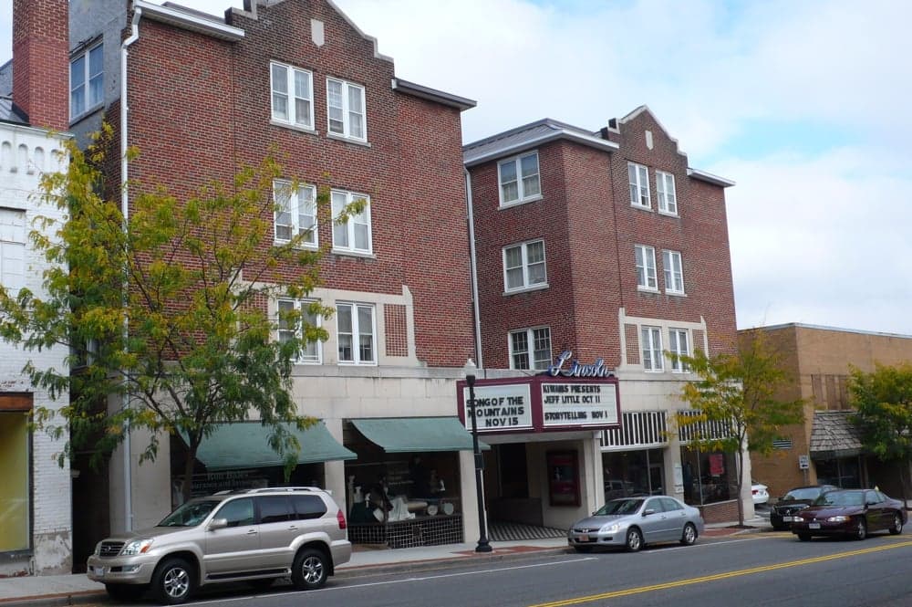
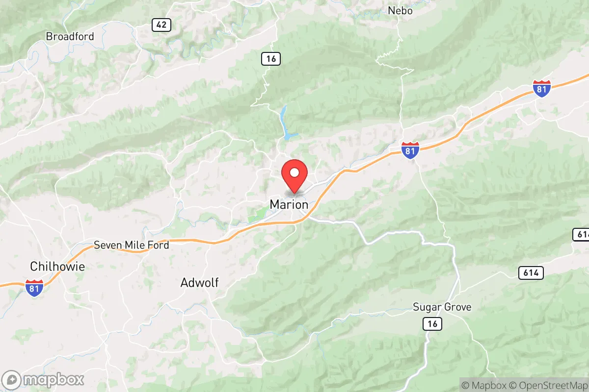
Photo: Wikipedia
Strategic Assessment of Marion, VA
Workable tactical position. Some exposure to population density or targets, but generally defensible in a crisis.
What does the Strategic Assessment tell us?
Our Strategic Assessment grades tactical survivability of an area. Major population centers, military targets, fallout zones, natural disasters, and border exposure all drive risk — lower exposure means a more defensible position in a crisis.
This is heavily inspired by Joel Skousen's Strategic Relocation book. Highly recommended you checkout the book ($)What does this tell us?
Our Strategic Assessment grades tactical survivability of an area. Major population centers, military targets, fallout zones, natural disasters, and border exposure all drive risk — lower exposure means a more defensible position in a crisis.
This is heavily inspired by Joel Skousen's Strategic Relocation book. Highly recommended you checkout the book ($)Strategic Pillars

Key Distances
Regional Safe Places
Below is our recommended "safe zones" in Virginia and the surrounding area based on our strategic heuristics. For most people, it's unrealistic to live in a “safe zone” full-time due to work, family or other personal reasons. They tend to be more rural. However, many of these areas are perfect for second homes and retreat properties that double as a vacation home or even a short-term rental.
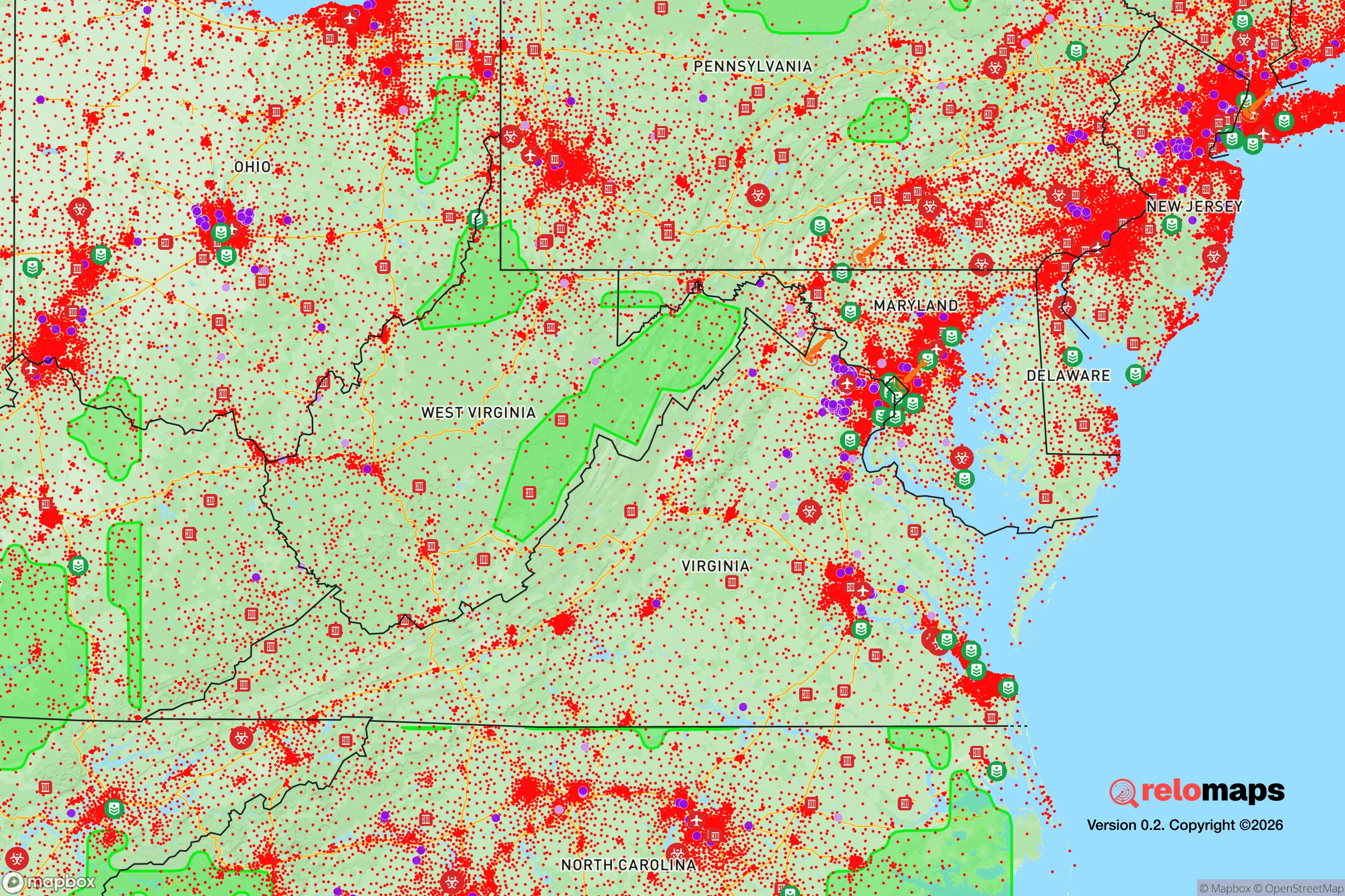
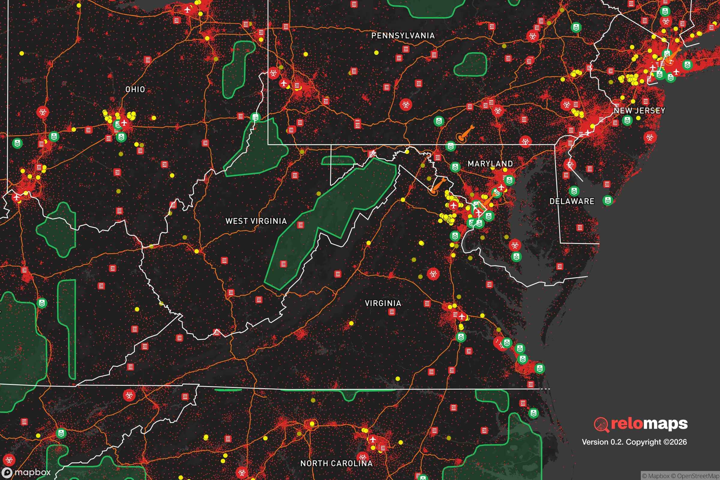


Important Note: For informational purposes only. This does not mean nothing bad ever happens in the green zones. Please use common sense. This is based on public data and modeled with AI. We tried to take a conservative approach but mistakes happen. We update this regularly as new information becomes available.
Solar Generator Recommendations
Backup power matters more here than in safer locations. We've picked three solar generators across budgets and capacity tiers — start with the budget unit if you only need a few essentials, or step up if you want to run a fridge and HVAC for days at a time.

Jackery Portable Power Station Explorer 300
Budget OptionPower on the Go: Weighing only 11 lbs, it's convenient to set up and store with book-sized foldable solar panels

BLUETTI Portable Power Station AC180
Designed for both indoor and outdoor scenarios, AC180 is highly capable as it has a robost capacity and continuous output power.

EF ECOFLOW DELTA Pro Ultra Power Station
Upgraded PickEcoFlow DELTA Pro Ultra is a whole-home energy system designed to grow with your family. Integrated with the Smart Home Panel 2, it scales to meet your evolving energy needs — keeping your home powered, intelligent, and secure through every stage of life.
We earn a commission, at no additional cost to you.
Strategic Assessment Analysis
Marion, Virginia, offers a compelling strategic position for those prioritizing resilience and self-sufficiency, balancing deep Appalachian geography with practical access to essential infrastructure. Nestled in Smyth County along Interstate 81, the town sits roughly 90 miles northeast of Knoxville and 150 miles west of Roanoke, placing it far enough from major metropolitan centers to avoid their worst-case-scenario fallout risks while remaining within a reasonable drive for supply runs or medical care. Its location in the Middle Fork of the Holston River valley provides natural defensive terrain, abundant water resources, and a climate that supports year-round food production, making it a serious contender for a relocation focused on long-term preparedness.
Geographic position and natural advantages for long-term security
Marion’s geography is its strongest asset for resilience. The town sits at roughly 2,200 feet elevation in the Appalachian Ridge and Valley region, surrounded by the Jefferson National Forest and Mount Rogers National Recreation Area to the east and south. This terrain offers natural chokepoints and defensible positions—key considerations for anyone thinking about security in a degraded scenario. The area is not prone to hurricanes, tornadoes, or wildfires at the rates seen in the Plains or coastal regions; the biggest natural threats are occasional ice storms and flooding along the Holston River, which are manageable with proper preparation. The surrounding national forest provides a massive buffer zone—over 700,000 acres of public land—that limits dense development and creates a natural barrier against population pressure from the I-81 corridor. For a relocator, this means lower population density (Smyth County has about 30 people per square mile) and fewer neighbors competing for resources in a crisis.
Risks, exposures, and proximity to fallout-relevant landmarks
While Marion avoids the worst of coastal and urban risks, it is not immune to man-made threats. The most significant exposure is the proximity to Interstate 81, a major trucking and logistics corridor that runs just west of town. In a national emergency, this highway could become a chokepoint for refugee flow or a target for disruption. The town is also roughly 50 miles from the Oak Ridge National Laboratory in Tennessee, a Department of Energy site with nuclear research and materials—a potential fallout concern depending on the scenario. However, prevailing winds in the region blow from the west-southwest, meaning any plume from Oak Ridge would generally move northeast, away from Marion. The nearest nuclear power plant is the Watts Bar facility in Tennessee, about 100 miles southwest, which is far enough to reduce direct fallout risk but close enough to warrant monitoring. On the positive side, Marion has no major military bases, chemical plants, or large-scale industrial targets within 30 miles, which significantly lowers its strategic value as a target. The biggest practical risk for a relocator is the area’s economic fragility—Smyth County’s median household income is around $42,000, and the local economy relies heavily on manufacturing and healthcare, which could be disrupted in a prolonged crisis.
Practical resilience for a relocator: food, water, energy, and defensibility
For someone serious about self-sufficiency, Marion delivers on the basics. Water is abundant: the Middle Fork of the Holston River runs through town, and the area receives about 45 inches of rainfall annually, with reliable spring and summer precipitation. The local aquifer is robust, and many rural properties have access to well water. Surface water from the river and nearby streams is generally clean but should be filtered or boiled due to agricultural runoff. Food production is viable—the growing season runs from mid-April to mid-October, and the fertile valley soils support gardens, orchards, and small livestock. The surrounding national forest offers hunting (deer, turkey, small game) and foraging (mushrooms, berries, ramps), though competition from other preppers could increase in a crisis. Energy is a mixed bag: the grid is served by Appalachian Power, which has a history of outages during ice storms, but solar potential is decent (about 4.5 peak sun hours per day), and wood heating is a practical backup given the forested terrain. Propane is widely available for cooking and heating. Defensibility is strong due to the terrain—the valley is narrow in places, with ridges that provide natural observation points and limited entry routes. The town itself is small (about 6,000 residents), so a tight-knit community is possible, but newcomers should invest in building relationships early, as rural Appalachia can be insular. The biggest practical gap is medical infrastructure: the local hospital, Smyth County Community Hospital, is a small critical-access facility with limited trauma capability; serious injuries would require a 90-minute drive to Roanoke or Johnson City.
Overall, Marion presents a solid strategic option for a relocator who values geographic isolation, natural resources, and low target risk, but it requires active preparation rather than passive safety. The area’s strengths—abundant water, defensible terrain, low population density, and proximity to national forest—are genuine advantages for long-term resilience. Its weaknesses—economic fragility, reliance on a single highway, and limited medical capacity—are manageable with planning and community integration. For a single individual or family willing to invest in solar, well water, and local relationships, Marion offers a realistic base for a self-sufficient lifestyle without the extreme isolation of deeper Appalachia. It is not a bunker; it is a working town with real vulnerabilities, but for the right person, those vulnerabilities are outweighed by the strategic depth of the location.

* Values derived from national, state, county, city and local statistics and may differ in a specific area. Last updated: 2026-10-24T15:51:45.000Z
Narrative content on this page is AI-generated and may contain mistakes. Verify any details that matter before acting on them.
ReloMaps may earn a commission from affiliate links at no extra cost to you.

