
Photo: Wikipedia
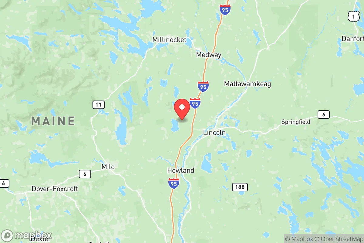
Strategic Assessment of Penobscot County
Meaningful friction. Expect exposure to either population pressure, blast zones, or natural disaster risk. Consider buying a retreat property.
What does the Strategic Assessment tell us?
Our Strategic Assessment grades tactical survivability of an area. Major population centers, military targets, fallout zones, natural disasters, and border exposure all drive risk — lower exposure means a more defensible position in a crisis.
This is heavily inspired by Joel Skousen's Strategic Relocation book. Highly recommended you checkout the book ($)What does this tell us?
Our Strategic Assessment grades tactical survivability of an area. Major population centers, military targets, fallout zones, natural disasters, and border exposure all drive risk — lower exposure means a more defensible position in a crisis.
This is heavily inspired by Joel Skousen's Strategic Relocation book. Highly recommended you checkout the book ($)Strategic Pillars

Key Distances
Strategic Assessment Analysis
Penobscot County offers a compelling mix of geographic isolation and practical infrastructure that makes it a serious contender for relocation-minded individuals and families focused on long-term resilience and self-sufficiency. Anchored by the city of Bangor and stretching north through towns like Orono, Brewer, and Millinocket, the county sits far enough from major population centers like Boston and Portland to avoid the worst of urban collapse scenarios, yet retains robust transportation links via Interstate 95 and the Bangor International Airport. For a reader weighing disaster readiness against daily livability, Penobscot County presents a rare balance: deep rural buffers within an hour of regional medical and supply hubs.
Geographic position and natural advantages for long-term security
Penobscot County's primary strategic asset is its location in central Maine, roughly 60 miles from the Atlantic coast and 120 miles north of Portland. This positioning places it outside the immediate blast and fallout zones of coastal targets like Portsmouth Naval Shipyard or the oil terminals in South Portland, while still providing access to maritime resources via the Penobscot River and the port of Searsport to the south. The county is heavily forested, with the North Maine Woods to the north and Baxter State Park to the northwest, offering vast tracts of undeveloped land for hunting, foraging, and off-grid living. The presence of the University of Maine in Orono adds a layer of institutional stability and technical knowledge, including agricultural extension services and engineering expertise relevant to renewable energy and water systems. The terrain is rolling hills and river valleys, not mountainous, which simplifies travel and construction compared to more rugged parts of New England.
Risks, exposures, and proximity to fallout-relevant landmarks
While Penobscot County avoids the highest-risk coastal and metropolitan targets, it is not without exposure. The Bangor International Airport is a dual-use civilian and military facility, hosting the Maine Air National Guard's 101st Air Refueling Wing, which could make it a secondary target in a major conflict. The county also contains the Penobscot River corridor, which runs south toward the Portsmouth Naval Shipyard in Kittery, roughly 150 miles away — a primary strategic target. Fallout from a strike on Portsmouth could theoretically drift north depending on wind patterns, though the distance and intervening terrain reduce the probability of lethal contamination. The nearby Maine Yankee nuclear plant in Wiscasset (decommissioned but still storing spent fuel) is a lower-risk concern, but any accident there could affect downstream water quality. Natural risks include heavy winter snowstorms, ice storms, and occasional flooding along the Penobscot River, particularly in low-lying areas of Bangor and Brewer. The county is seismically stable and faces no hurricane storm surge, though inland flooding from prolonged rain is a periodic issue.
Practical resilience for a relocator: food, water, energy, and defensibility
For a relocator serious about self-sufficiency, Penobscot County offers strong fundamentals. The growing season is short (roughly 120 days) but productive for cold-hardy crops like potatoes, root vegetables, and greens, with ample farmland in the central and southern parts of the county around Hampden, Orrington, and Old Town. The Penobscot River and its tributaries provide reliable surface water, and groundwater is generally accessible via wells in most rural areas, though well depth varies. Timber is abundant for heating and construction, and the county's history of logging means chainsaws, wood splitters, and off-road vehicles are common and serviceable locally. Electricity comes from a mix of hydroelectric dams on the Penobscot River (including the Milford and Stillwater dams), natural gas, and biomass plants, giving the grid some redundancy. For defensibility, the county's low population density (roughly 30 people per square mile outside Bangor) and limited road network — primarily I-95 and a handful of state routes — make it easier to monitor access points and maintain situational awareness. The local culture is heavily oriented toward hunting, fishing, and firearms ownership, which aligns with a preparedness mindset. However, the long, dark winters and reliance on heating fuel mean that any disruption to propane or heating oil supply chains would be a serious vulnerability for households without wood heat backup.
Overall, Penobscot County presents a strong strategic option for a relocator who values distance from major targets, access to natural resources, and a community that already practices many forms of self-reliance. The trade-offs are real: a short growing season, harsh winters, and the need to invest in backup heating and water systems. But for someone willing to adapt to the climate and build local knowledge, the county offers a defensible, resource-rich base that is far enough from the fray to matter, yet connected enough to avoid complete isolation. The key is to secure a property with a reliable water source, wood heat, and southern exposure for passive solar gain — and to arrive before the next crisis drives a surge of like-minded relocators into the same region.

* Values derived from national, state, county, city and local statistics and may differ in a specific area. Last updated: 2026-07-01T12:43:00.000Z
Narrative content on this page is AI-generated and may contain mistakes. Verify any details that matter before acting on them.
ReloMaps may earn a commission from affiliate links at no extra cost to you.

