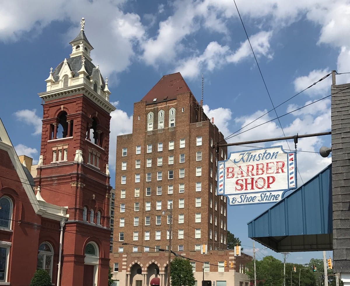
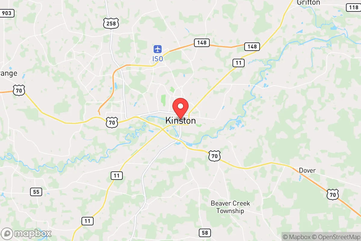
Photo: Wikipedia
Strategic Assessment of Kinston, NC
Meaningful friction. Expect exposure to either population pressure, blast zones, or natural disaster risk. Consider buying a retreat property.
What does the Strategic Assessment tell us?
Our Strategic Assessment grades tactical survivability of an area. Major population centers, military targets, fallout zones, natural disasters, and border exposure all drive risk — lower exposure means a more defensible position in a crisis.
This is heavily inspired by Joel Skousen's Strategic Relocation book. Highly recommended you checkout the book ($)What does this tell us?
Our Strategic Assessment grades tactical survivability of an area. Major population centers, military targets, fallout zones, natural disasters, and border exposure all drive risk — lower exposure means a more defensible position in a crisis.
This is heavily inspired by Joel Skousen's Strategic Relocation book. Highly recommended you checkout the book ($)Strategic Pillars

Key Distances
Regional Safe Places
Below is our recommended "safe zones" in North Carolina and the surrounding area based on our strategic heuristics. For most people, it's unrealistic to live in a “safe zone” full-time due to work, family or other personal reasons. They tend to be more rural. However, many of these areas are perfect for second homes and retreat properties that double as a vacation home or even a short-term rental.

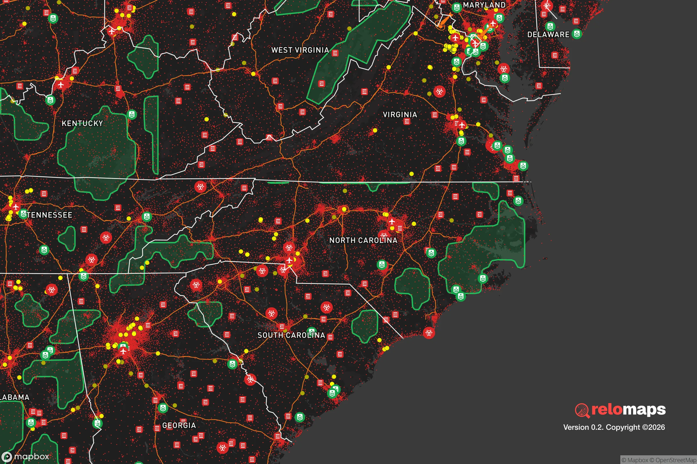


Important Note: For informational purposes only. This does not mean nothing bad ever happens in the green zones. Please use common sense. This is based on public data and modeled with AI. We tried to take a conservative approach but mistakes happen. We update this regularly as new information becomes available.
Solar Generator Recommendations
Backup power matters more here than in safer locations. We've picked three solar generators across budgets and capacity tiers — start with the budget unit if you only need a few essentials, or step up if you want to run a fridge and HVAC for days at a time.
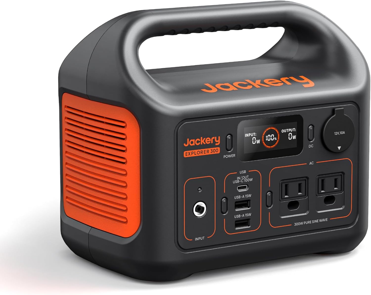
Jackery Portable Power Station Explorer 300
Budget OptionPower on the Go: Weighing only 11 lbs, it's convenient to set up and store with book-sized foldable solar panels

BLUETTI Portable Power Station AC180
Designed for both indoor and outdoor scenarios, AC180 is highly capable as it has a robost capacity and continuous output power.

EF ECOFLOW DELTA Pro Ultra Power Station
Upgraded PickEcoFlow DELTA Pro Ultra is a whole-home energy system designed to grow with your family. Integrated with the Smart Home Panel 2, it scales to meet your evolving energy needs — keeping your home powered, intelligent, and secure through every stage of life.
We earn a commission, at no additional cost to you.
Strategic Assessment Analysis
Kinston, North Carolina, offers a strategic relocation option for those prioritizing resilience and self-sufficiency, balancing modest geographic advantages with real exposure to coastal and infrastructure risks. Situated in Lenoir County, roughly 70 miles inland from the Atlantic, this small city of about 19,000 people sits at the intersection of U.S. Highway 70 and the Neuse River, providing a blend of rural access and regional connectivity. For a conservative-leaning audience focused on disaster readiness, Kinston’s location presents a mixed picture: it’s far enough from major metropolitan targets to reduce fallout concerns, yet close enough to coastal threats and critical infrastructure to demand careful planning.
Geographic position and natural advantages for self-sufficiency
Kinston’s inland position is its primary geographic asset for resilience. At roughly 70 miles from the coast, it sits outside the immediate storm-surge zone of hurricanes, though it remains vulnerable to inland flooding and wind damage. The city lies on the Coastal Plain, a flat, fertile region that historically supported agriculture—tobacco, corn, soybeans, and cotton remain significant. This agricultural base is a practical advantage for relocators seeking local food sources: the surrounding Lenoir County has over 1,200 farms, and the Neuse River provides a reliable freshwater source. The area’s elevation averages just 40 feet above sea level, which limits defensible high-ground options but reduces the risk of landslides or seismic activity. Kinston’s distance from major population centers—Raleigh is 80 miles northwest, Wilmington 75 miles south—means it avoids the direct fallout zones of a nuclear event targeting those cities, though prevailing winds could carry fallout from a strike on the coast or inland military sites. The city’s position along the Neuse River also offers potential for small-scale hydropower or water-based transport, though the river is not navigable for large vessels this far inland.
Risks, exposures, and proximity to fallout-relevant landmarks
Kinston’s resilience profile is tempered by several notable risks. The most immediate natural threat is hurricanes: while the city is inland, it has experienced significant flooding from storms like Hurricane Florence in 2018, which dumped over 20 inches of rain and caused the Neuse River to crest at record levels. Flood-prone areas near the river and its tributaries are a concern, and relocators should avoid low-lying neighborhoods like those along U.S. 70 or near the Kinston Regional Jetport. Tornadoes are a secondary risk, with North Carolina averaging 30 tornadoes annually, though Lenoir County sees fewer than the state average. On the man-made side, Kinston’s proximity to several high-value targets is a key consideration. The city is 25 miles from Seymour Johnson Air Force Base in Goldsboro, a major strategic asset housing F-15E Strike Eagles and nuclear-capable aircraft—a likely target in a conflict scenario. Additionally, the Global Transpark, a multi-modal industrial park near the jetport, hosts logistics and aerospace operations that could be secondary targets. The Neuse River itself is a potential contamination vector if upstream industrial sites or the base are compromised. For fallout, Kinston’s distance from Raleigh and Wilmington reduces direct blast exposure, but prevailing winds from the west could carry radioactive debris from a strike on the Research Triangle or Fort Bragg (now Fort Liberty), 100 miles west. The city’s flat terrain offers little natural shielding, so relocators should plan for basement or shelter construction.
Practical resilience for a relocator: food, water, energy, and defensibility
For a relocator focused on self-sufficiency, Kinston offers a mixed but workable environment. Food security is a strong point: the agricultural base means local farmers’ markets, CSAs, and bulk suppliers are accessible, and the growing season runs from April to October, allowing for home gardening. Soil quality is good for row crops, though heavy clay in some areas requires amendment. Hunting and fishing are viable—the Neuse River supports catfish, bass, and crappie, and public lands like the Croatan National Forest (45 miles southeast) offer deer and turkey. Water access is straightforward: the Neuse River is a perennial source, but it requires treatment due to agricultural runoff and upstream industrial activity. Municipal water comes from the Neuse and is treated, but relocators should plan for well drilling or rainwater catchment—annual rainfall averages 50 inches, making collection feasible. Energy resilience is a weak spot. Kinston’s grid is vulnerable to hurricane-related outages, with Duke Energy reporting average restoration times of 3-5 days after major storms. Solar potential is moderate (4.5 peak sun hours per day), and backup generators are common among locals. Natural gas is available in town but not in rural areas. Defensibility is limited by the flat, open terrain—there are no natural chokepoints or high ground. The city’s small size and low population density (about 200 people per square mile) reduce social friction, but the lack of a cohesive community network (many residents commute to Greenville or Goldsboro for work) means relocators should actively build local ties. Crime is a concern: Kinston’s violent crime rate is roughly double the national average, with property crime also elevated, so perimeter security and situational awareness are necessary.
The overall strategic picture for Kinston is one of calculated trade-offs. Its inland location and agricultural base provide a foundation for self-sufficiency that many coastal or urban areas lack, and its distance from primary nuclear targets offers a buffer that denser regions cannot match. However, the proximity to Seymour Johnson Air Force Base and the Neuse River’s flood risk are serious vulnerabilities that require mitigation—whether through shelter construction, flood insurance, or evacuation planning. For a relocator willing to invest in backup power, water treatment, and community engagement, Kinston can serve as a resilient base, but it is not a low-effort retreat. The city’s small size and rural character align with a conservative emphasis on local control and self-reliance, but the lack of natural defensibility and the presence of high-value military infrastructure mean that preparedness must be proactive rather than passive. In short, Kinston is a viable option for those who prioritize food and water access over terrain advantage, and who accept the need for robust planning against both natural and man-made threats.

* Values derived from national, state, county, city and local statistics and may differ in a specific area. Last updated: 2026-11-08T22:29:04.000Z
Narrative content on this page is AI-generated and may contain mistakes. Verify any details that matter before acting on them.
ReloMaps may earn a commission from affiliate links at no extra cost to you.

