
Photo: Wikipedia
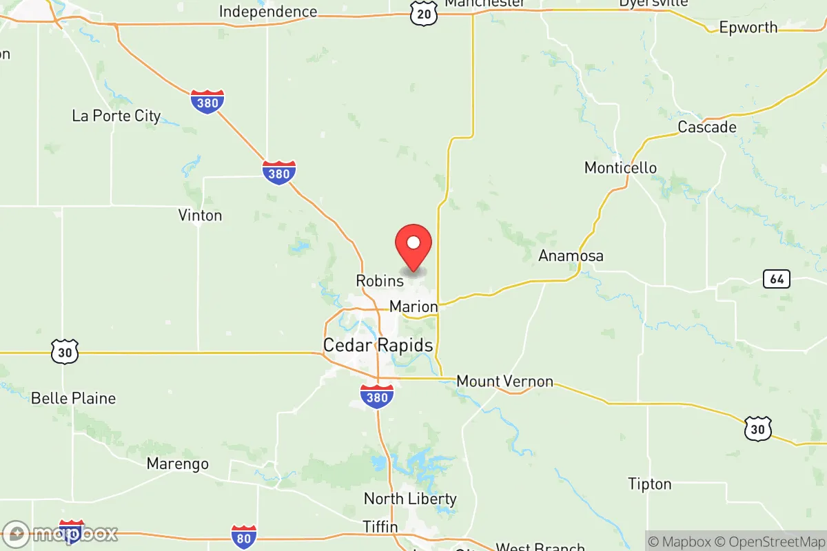
Strategic Assessment of Linn County
Meaningful friction. Expect exposure to either population pressure, blast zones, or natural disaster risk. Consider buying a retreat property.
What does the Strategic Assessment tell us?
Our Strategic Assessment grades tactical survivability of an area. Major population centers, military targets, fallout zones, natural disasters, and border exposure all drive risk — lower exposure means a more defensible position in a crisis.
This is heavily inspired by Joel Skousen's Strategic Relocation book. Highly recommended you checkout the book ($)What does this tell us?
Our Strategic Assessment grades tactical survivability of an area. Major population centers, military targets, fallout zones, natural disasters, and border exposure all drive risk — lower exposure means a more defensible position in a crisis.
This is heavily inspired by Joel Skousen's Strategic Relocation book. Highly recommended you checkout the book ($)Strategic Pillars

Key Distances
Strategic Assessment Analysis
Linn County, Iowa, anchored by Cedar Rapids and its surrounding communities, presents a compelling but nuanced strategic picture for the relocation-minded individual or family prioritizing resilience and self-sufficiency. Its position in the eastern part of the state offers a blend of Midwestern stability, economic diversity, and a physical distance from the most acute risks of coastal megacities, but it is not without its own specific vulnerabilities. The county’s true strategic value lies in its balance of access to essential resources and its relative insulation from the highest-consequence man-made and natural disaster scenarios that plague other parts of the country.
Geographic position and natural advantages for long-term stability
Linn County sits squarely in the heart of the Corn Belt, a region defined by its agricultural productivity and relatively stable geology. Unlike areas along the New Madrid Seismic Zone or the hurricane-prone Gulf Coast, the county is not subject to catastrophic earthquakes or direct hurricane impacts. The terrain is gently rolling, with the Cedar River and its tributaries providing a reliable freshwater source. The county’s position roughly 200 miles from the nearest major metropolitan fallout risks—Chicago to the east and the Minneapolis-St. Paul area to the north—offers a meaningful buffer. For a relocator, this means the immediate vicinity is unlikely to be a primary target in a conflict scenario, and the surrounding farmland provides a natural resource base for local food production. The cities of Marion and Hiawatha, both suburbs of Cedar Rapids, offer a more rural-adjacent feel while still being within a 15-minute drive of the county’s primary hospital and supply chains. The county’s location along the I-380 corridor also provides a practical evacuation route north toward less populated areas of the state, though this is a double-edged sword in a mass-exodus event.
Risks, exposures, and proximity to fallout-relevant landmarks
The most significant strategic vulnerability for Linn County is its exposure to natural hazards, specifically riverine flooding and severe convective storms. The Cedar River bisects Cedar Rapids, and the catastrophic floods of 2008 and 2016 demonstrated that large portions of the urban core are within the 100-year floodplain. This is a concrete risk for any property buyer: homes in low-lying areas of Cedar Rapids or near the river in Palo or Springville require serious flood insurance consideration. Beyond hydrology, the county sits in the heart of “Tornado Alley’s” northern fringe. The derecho of August 2020, which caused widespread and prolonged power outages across the entire county, is a recent and relevant stress test. For a resilience-minded relocator, the key takeaway is that grid failure from wind or ice storms is a recurring, multi-day event, not a hypothetical. On the man-made risk side, Linn County is not proximate to high-value strategic targets like nuclear power plants, major military installations, or petrochemical refineries. The closest significant military presence is the Iowa Army Ammunition Plant in Middletown, roughly 60 miles southeast, and the Duane Arnold Energy Center (a now-decommissioned nuclear plant) is just north in Palo. While decommissioned, the site still contains spent fuel, which is a low-probability but non-zero concern for a serious strategic assessment. The absence of a major port, refinery, or ICBM field within the county limits is a net positive for a relocator seeking to avoid primary or secondary fallout zones.
Practical resilience for a relocator: food, water, energy, and defensibility
For the individual or family serious about self-sufficiency, Linn County offers a mixed but workable environment. The agricultural base is a genuine asset: the county is surrounded by row-crop agriculture and livestock operations, meaning local food sourcing is feasible. Farmers’ markets in Cedar Rapids, Marion, and Mount Vernon operate seasonally, and the presence of large grain elevators and processing facilities (such as the Cargill plant in Cedar Rapids) provides a local buffer for staple goods. Water availability is strong, with the Cedar River and the underlying Jordan Aquifer providing redundant sources. However, the 2020 derecho exposed a critical weakness: the county’s electrical grid is heavily dependent on above-ground distribution lines, and tree canopy in older neighborhoods is dense. A relocator should plan for a minimum of 7-10 days of off-grid power capability, including a backup generator with fuel storage, as extended outages are a documented pattern. Defensibility is moderate. The county is not a natural fortress—it is open farmland with scattered woodlots—but the smaller towns like Center Point and Walker offer a degree of social cohesion and distance from the urban core that can be leveraged. The county’s population density is low enough that a well-chosen rural property with a good well and septic system can provide genuine independence, but it is not remote enough to deter determined travelers or looters in a crisis scenario. The presence of the Eastern Iowa Airport in Cedar Rapids is a double-edged sword: it provides logistical access but also makes the area a potential node for relief or, in a worst-case, a target for disruption.
The overall strategic picture for Linn County is one of moderate, workable resilience with clear, manageable trade-offs. It is not a hardened bunker location, nor is it a high-risk zone that demands immediate avoidance. For a relocator who values agricultural self-sufficiency, a stable water supply, and a community that has demonstrated the ability to recover from natural disasters (the 2008 flood and 2020 derecho are proof of concept), the county offers a solid foundation. The primary strategic recommendation is to prioritize property outside the Cedar River floodplain, invest in robust backup power and water storage, and build relationships within the smaller satellite communities rather than relying solely on Cedar Rapids’ urban infrastructure. The risks are real but localized and well-understood; the advantages are rooted in the land itself. For a family willing to prepare, Linn County represents a defensible, sustainable choice in the Upper Midwest.

* Values derived from national, state, county, city and local statistics and may differ in a specific area. Last updated: 2026-07-24T14:21:29.000Z
Narrative content on this page is AI-generated and may contain mistakes. Verify any details that matter before acting on them.
ReloMaps may earn a commission from affiliate links at no extra cost to you.

