
Photo: Wikipedia
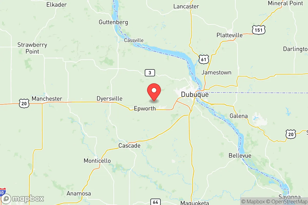
Strategic Assessment of Dubuque County
Workable tactical position. Some exposure to population density or targets, but generally defensible in a crisis.
What does the Strategic Assessment tell us?
Our Strategic Assessment grades tactical survivability of an area. Major population centers, military targets, fallout zones, natural disasters, and border exposure all drive risk — lower exposure means a more defensible position in a crisis.
This is heavily inspired by Joel Skousen's Strategic Relocation book. Highly recommended you checkout the book ($)What does this tell us?
Our Strategic Assessment grades tactical survivability of an area. Major population centers, military targets, fallout zones, natural disasters, and border exposure all drive risk — lower exposure means a more defensible position in a crisis.
This is heavily inspired by Joel Skousen's Strategic Relocation book. Highly recommended you checkout the book ($)Strategic Pillars

Key Distances
Strategic Assessment Analysis
Dubuque County offers a compelling mix of geographic isolation and strategic connectivity that makes it a serious contender for anyone prioritizing long-term stability and self-sufficiency. Perched on the Mississippi River at Iowa’s far northeastern corner, the county benefits from being a full 70 miles from the nearest major metro (Madison, WI) and over 90 miles from the Des Moines and Quad Cities urban centers, placing it well outside the immediate fallout zones of any high-value target. The area’s bedrock geology—primarily Galena dolomite and Platteville limestone—provides natural shielding and stable foundations, while the river corridor and surrounding Driftless Area topography create defensible terrain with abundant fresh water and arable land.
Geographic position and natural advantages for long-term stability
Dubuque County sits at the heart of the Driftless Region, a 24,000-square-mile area that escaped the flattening effects of the last glacial period. This means steep hills, deep valleys, and a fractured bedrock landscape that naturally limits large-scale troop or vehicle movement—a significant tactical advantage for anyone thinking about perimeter defense or simply avoiding the chaos of post-disaster refugee flows. The Mississippi River forms the county’s eastern border, providing a reliable water source and a natural barrier, while the tributaries of the Little Maquoketa River and Catfish Creek cut through the interior, offering multiple dispersed water access points. The county seat, Dubuque, is the oldest city in Iowa and sits on a series of bluffs that rise 300 feet above the river, giving elevated vantage points over the entire river valley. Smaller towns like Asbury, Peosta, and Farley are spread across the interior, each with its own well water and local food networks, reducing the risk of a single point of failure. The region’s karst topography—with its sinkholes and caves—also offers natural shelter options that are rare in the Midwest, though it does require careful septic and well placement to avoid groundwater contamination.
Risks, exposures, and proximity to fallout-relevant landmarks
The county’s primary risk profile is low compared to coastal or industrial corridor locations, but it is not without exposure. The most significant man-made threat comes from the Duane Arnold Energy Center, a decommissioned nuclear plant located roughly 60 miles southwest near Palo, IA. While the reactor is permanently shut down and spent fuel is in dry cask storage, a catastrophic cask failure or terrorist event could still produce a radioactive plume that, under prevailing westerly winds, would reach Dubuque County within 4–6 hours. The county’s position on the Mississippi also places it downstream from the Prairie Island Indian Community nuclear plant (near Red Wing, MN, about 120 miles north) and the Quad Cities Nuclear Power Station (near Cordova, IL, about 70 miles south), though prevailing winds and distance make these lower-probability threats. On the natural disaster side, the Driftless Area is seismically stable—no active fault lines run through the county—but the steep slopes do create localized landslide risks, particularly along the river bluffs and in the Swiss Valley area near Cascade. Flooding is the most recurrent natural hazard: the Mississippi River has exceeded major flood stage (25 feet at the Dubuque gauge) seven times since 2000, with the 2019 flood cresting at 26.8 feet and inundating the Port of Dubuque, the city’s wastewater treatment plant, and low-lying industrial areas along the riverfront. However, the vast majority of residential development sits on the bluffs above the 600-foot contour line, so flood risk is highly localized to the river bottoms and the Key West area south of the city. Tornado risk is real but below the Iowa average—the county averages one tornado every 3–4 years, typically EF0–EF1, and the hilly terrain tends to disrupt storm rotation compared to the flatlands to the west.
Practical resilience for a relocator: food, water, energy, and defensibility
For someone serious about self-sufficiency, Dubuque County checks most boxes. The Driftless Region is one of the few places in the Midwest where spring-fed creeks and artesian wells provide reliable, gravity-fed water without deep drilling—many properties in the rural townships (Moscow, St. Donatus, Sherrill) have hand-dug wells that produce 10–20 gallons per minute from shallow aquifers. The county’s agricultural base is strong: over 60% of the land is in farms, with a mix of row crops (corn, soybeans) and livestock operations (primarily hogs and beef cattle) that means local food production is not dependent on long supply chains. The Dubuque Farmers’ Market runs May through October with 80+ vendors, and there are at least a dozen CSAs operating within the county, plus the Loras College and University of Dubuque campuses maintain small teaching farms. For energy, the county is served by Alliant Energy’s coal and natural gas generation, but the Dubuque Dam and Lock & Dam No. 11 on the Mississippi provide a small hydroelectric component (~5 MW), and the region has growing solar adoption—the Dubuque Solar Garden near the airport generates 1.5 MW and allows residents to subscribe without rooftop panels. Wood heating is viable: the county’s 40,000 acres of public forestland (including the White Pine Hollow State Preserve and the Mines of Spain Recreation Area) provide ample fuel, though sustainable harvest requires careful management. Defensibility is the county’s strongest suit: the Driftless terrain creates natural chokepoints along the few major roads (US-20, US-52, IA-136), and the river forms a moat-like eastern boundary. The Dubuque Regional Airport (DBQ) could serve as a logistics hub or evacuation point, but its single runway and lack of hardened infrastructure make it a secondary asset. The county’s population density is low—about 100 people per square mile in the urbanized areas, dropping to under 30 in the rural townships—which reduces competition for resources in a crisis scenario.
The overall strategic picture for Dubuque County is one of moderate-to-high resilience with manageable trade-offs. It lacks the extreme isolation of the Mountain West or the deep agricultural surplus of central Nebraska, but it offers a rare combination of defensible terrain, abundant fresh water, local food production capacity, and distance from high-value targets that makes it a top-tier relocation option for the upper Midwest. The primary downsides are the residual nuclear risk from Duane Arnold (low probability but high consequence) and the recurring flood threat to the river bottoms, both of which can be mitigated through site selection—specifically, choosing property above the 650-foot elevation mark and at least 15 miles from the river if plume drift is a concern. For a family or individual willing to invest in a well, solar panels, and a wood stove, Dubuque County offers a realistic path to long-term stability without the extreme climate or water scarcity challenges of the West. It’s not a bug-out bunker location—it’s a living, working community with schools, hospitals, and a functioning economy that also happens to be one of the better-positioned places in the region if things go sideways.

* Values derived from national, state, county, city and local statistics and may differ in a specific area. Last updated: 2026-07-03T00:25:59.000Z
Narrative content on this page is AI-generated and may contain mistakes. Verify any details that matter before acting on them.
ReloMaps may earn a commission from affiliate links at no extra cost to you.

