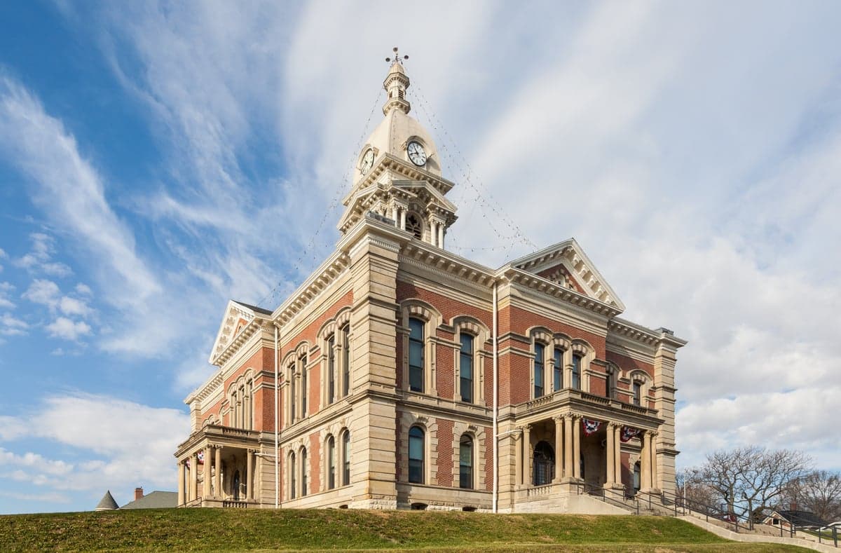
Photo: Wikipedia
Strategic Assessment of Wabash County
Workable tactical position. Some exposure to population density or targets, but generally defensible in a crisis.
What does the Strategic Assessment tell us?
Our Strategic Assessment grades tactical survivability of an area. Major population centers, military targets, fallout zones, natural disasters, and border exposure all drive risk — lower exposure means a more defensible position in a crisis.
This is heavily inspired by Joel Skousen's Strategic Relocation book. Highly recommended you checkout the book ($)What does this tell us?
Our Strategic Assessment grades tactical survivability of an area. Major population centers, military targets, fallout zones, natural disasters, and border exposure all drive risk — lower exposure means a more defensible position in a crisis.
This is heavily inspired by Joel Skousen's Strategic Relocation book. Highly recommended you checkout the book ($)Strategic Pillars

Key Distances
Strategic Assessment Analysis
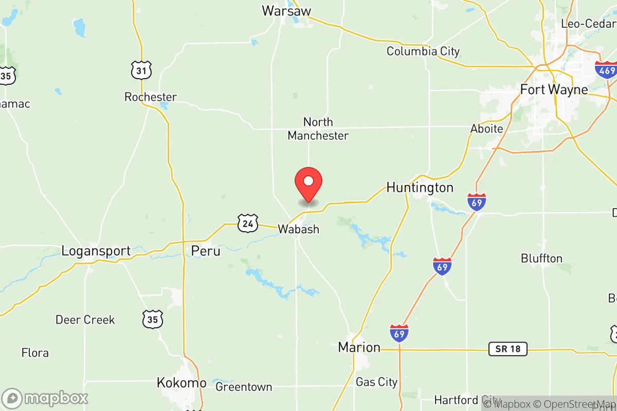
Wabash County, Indiana, offers a strategic balance of rural self-sufficiency and practical access to regional infrastructure, making it a noteworthy option for those prioritizing resilience and preparedness. Located in north-central Indiana, the county is anchored by the city of Wabash and includes the towns of North Manchester, Roann, and Lagro, placing it roughly 45 minutes from Fort Wayne and an hour from Indianapolis. This positioning provides a buffer from the immediate fallout zones of major metropolitan targets while still allowing for supply runs and medical access. The area’s historical industrial base—rooted in manufacturing and agriculture—gives it a built-in capacity for local production and repair that many purely bedroom communities lack.
Geographic position and natural advantages for long-term stability
Wabash County sits within the Wabash River watershed, a region defined by fertile glacial till plains and a network of creeks and tributaries. The Wabash River itself runs along the county’s southern edge, providing a reliable surface water source that is less prone to contamination than shallow wells in more developed areas. The terrain is gently rolling, with enough elevation change to offer natural drainage and defensible building sites, particularly around the Mississinewa River and Salamonie River valleys to the east. The county is well outside the 50-mile radius of any major nuclear power plant—the nearest is the Cook Nuclear Plant in Michigan, over 100 miles away—and sits far from the refinery corridors of the Gulf Coast or the chemical clusters along the Ohio River. This geographic isolation from high-value strategic targets is a significant advantage. The area also benefits from a moderate climate with four distinct seasons, reducing the risk of extreme weather events like hurricanes or wildfires, though tornadoes remain a periodic concern. The presence of the Salamonie Reservoir and Mississinewa Lake, both managed by the Army Corps of Engineers, offers additional water storage and recreational resources that could support long-term subsistence.
Risks, exposures, and proximity to fallout-relevant landmarks
While Wabash County is not a primary target, it is not entirely free of risk. The county lies roughly 120 miles from the Grissom Air Reserve Base near Peru, Indiana, and about 90 miles from the Fort Wayne Air National Guard Base. These are secondary military installations that could see increased activity during a crisis, potentially drawing retaliatory strikes or creating secondary fallout patterns. More concerning is the county’s proximity to the I-69 and US-24 corridors, which serve as major logistics routes connecting Chicago, Detroit, and Indianapolis. In a national emergency, these highways would likely be clogged with military and civilian traffic, complicating evacuation or resupply. The city of Wabash itself hosts a rail yard and several light industrial facilities, including a large metal fabrication plant and a plastics manufacturer. While not high-value targets, these sites could become secondary hazards if struck or if they experience industrial accidents during a grid-down scenario. The county’s two natural gas-fired power plants—the Wabash River Generating Station and the Lawrenceburg plant (just outside the county)—are potential points of failure, though their dispersed locations reduce the risk of a single event crippling the entire grid. The biggest man-made risk is likely the CSX rail line that runs through the county, carrying hazardous materials between Chicago and the East Coast. A derailment could contaminate local water sources or force temporary evacuations. Overall, the county’s risk profile is moderate—lower than suburban Indianapolis or Fort Wayne, but higher than truly remote areas like the Upper Peninsula.
Practical resilience for a relocator: food, water, energy, and defensibility
For someone serious about self-sufficiency, Wabash County offers strong fundamentals. Agriculture dominates the landscape, with corn, soybeans, and wheat being the primary crops. The county has over 1,200 farms, and the local Amish and Mennonite communities in the surrounding counties (particularly around Nappanee and Shipshewana) provide a deep well of off-grid knowledge and hand-tool skills. Farmers’ markets operate in Wabash and North Manchester from spring through fall, and the county’s grain elevators and feed mills mean bulk food storage is feasible. Water access is excellent: the Wabash River and its tributaries are supplemented by numerous private wells and the two major reservoirs (Salamonie and Mississinewa). The county’s water table is high and generally clean, though well testing is recommended due to historical agricultural runoff. For energy, the county is served by Duke Energy and Wabash Valley Power, but the grid is aging and prone to outages during ice storms. Solar potential is moderate—the region gets about 180 sunny days per year—but the flat terrain and open fields make ground-mounted arrays viable. Wood heating is common, with ample hardwood forests in the eastern part of the county. Defensibility is a mixed picture. The county’s dispersed population (roughly 30,000 people across 420 square miles) means neighbors are close enough for mutual aid but far enough to avoid the density that attracts looters. The Wabash River and the two reservoirs create natural choke points, and the county’s network of county roads and gravel lanes offers multiple escape routes. However, the flat terrain provides little cover, and the Wabash County Sheriff’s Office is a small force (around 30 sworn officers) that would be quickly overwhelmed in a widespread crisis. The county’s two hospitals—Wabash County Hospital and Parkview Wabash Hospital—are small but functional, with limited trauma capacity. For a relocator, the key is to secure a property with a well, a backup power source, and a defensible perimeter, ideally near the river or one of the reservoirs.
The strategic picture for Wabash County is one of moderate resilience with manageable risks. It is not a fortress, nor is it a target. Its greatest strengths are its agricultural base, abundant water, and distance from major strategic assets. Its weaknesses are its reliance on regional infrastructure and its location along major transport corridors that could become liabilities in a crisis. For a family or individual willing to invest in off-grid systems and build local relationships—particularly with the Amish and farming communities—the county offers a realistic path to long-term self-sufficiency. The key is to avoid the more exposed areas near the rail line and the industrial zones around Wabash city, and instead focus on the rural townships like Noble, Pleasant, or Liberty, where land is cheaper and neighbors are fewer. In a worst-case scenario, the county’s location provides a viable fallback position, but it is not a bug-out destination—it is a place to live and work, not just to hide. For the right person, that is exactly the point.

* Values derived from national, state, county, city and local statistics and may differ in a specific area. Last updated: 2026-11-15T19:54:37.000Z
Narrative content on this page is AI-generated and may contain mistakes. Verify any details that matter before acting on them.
ReloMaps may earn a commission from affiliate links at no extra cost to you.

