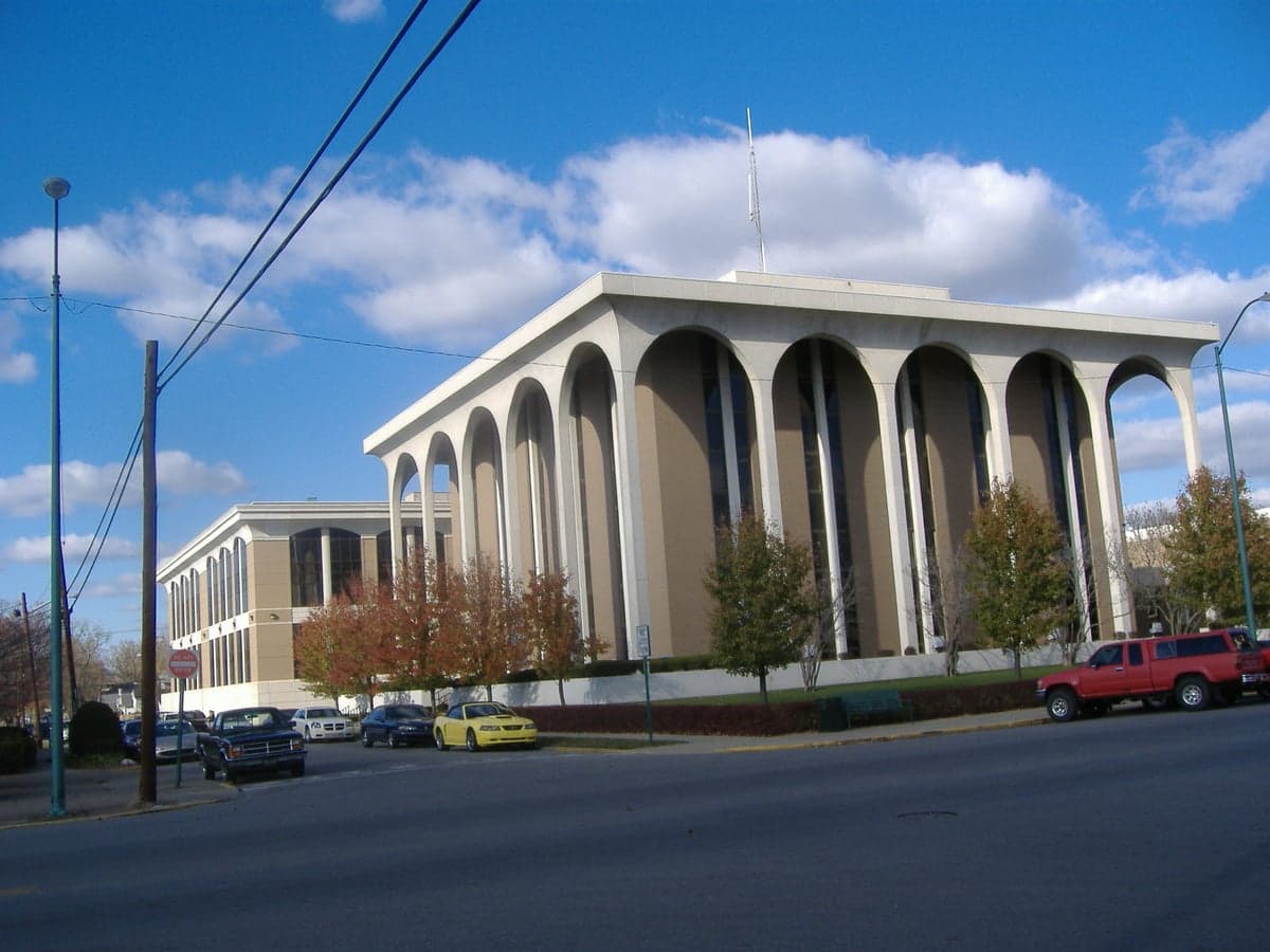
Photo: Wikipedia
Strategic Assessment of Clark County
Meaningful friction. Expect exposure to either population pressure, blast zones, or natural disaster risk. Consider buying a retreat property.
What does the Strategic Assessment tell us?
Our Strategic Assessment grades tactical survivability of an area. Major population centers, military targets, fallout zones, natural disasters, and border exposure all drive risk — lower exposure means a more defensible position in a crisis.
This is heavily inspired by Joel Skousen's Strategic Relocation book. Highly recommended you checkout the book ($)What does this tell us?
Our Strategic Assessment grades tactical survivability of an area. Major population centers, military targets, fallout zones, natural disasters, and border exposure all drive risk — lower exposure means a more defensible position in a crisis.
This is heavily inspired by Joel Skousen's Strategic Relocation book. Highly recommended you checkout the book ($)Strategic Pillars

Key Distances
Strategic Assessment Analysis
Clark County, Indiana, offers a compelling mix of strategic depth and practical resilience for those prioritizing disaster readiness, largely due to its position on the Ohio River and its proximity to Louisville, Kentucky, while maintaining a distinct, less-dense character. The county’s resilience is anchored by its location outside the immediate blast and fallout zones of major metropolitan targets, yet it retains access to the logistical and economic resources of a major city. For a relocator thinking seriously about self-sufficiency and long-term stability, Clark County presents a balanced profile: close enough to leverage urban infrastructure, but far enough to avoid the worst-case scenarios of a national-level disruption.
Geographic position and natural advantages for long-term stability
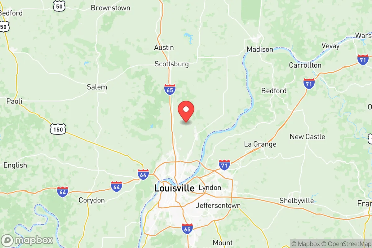
Clark County’s primary geographic asset is its position along the Ohio River, which provides a reliable water source and a natural transportation corridor. The county seat, Jeffersonville, and the city of Clarksville sit directly across from Louisville, but the county’s landmass stretches north and east into more rural, rolling terrain. This topography—hills, wooded areas, and farmland—offers natural defensibility and reduces the risk of flooding in higher-elevation communities like Charlestown and Sellersburg. The Ohio River itself is a double-edged sword: it provides water and trade access, but the floodplain along the river’s edge is a known risk. However, the county’s interior, particularly around the Clark State Forest, offers elevated, forested land that is ideal for off-grid living and provides a natural buffer against both flooding and the spread of surface-level contamination. The region’s temperate climate, with four distinct seasons and ample rainfall, supports local agriculture and reduces the risk of extreme weather events like hurricanes or wildfires, which are more common in other parts of the country.
Risks, exposures, and proximity to fallout-relevant landmarks
While Clark County avoids the highest-risk zones, it is not without exposure. The most significant man-made risk comes from the Louisville Metro area, which includes the Louisville International Airport and the Fort Knox military installation about 30 miles southwest. Fort Knox, a major U.S. Army base and gold depository, is a potential target for a sophisticated adversary, though its distance from Clark County (roughly 30-40 miles) means fallout patterns would depend heavily on wind direction. More immediately, the Ohio River’s industrial corridor includes chemical plants, refineries, and barge traffic that could pose a secondary hazard in a disaster scenario. The Jeffersonville Quartermaster Depot, a historic military supply hub, is now largely redeveloped but still sits near the river. For a relocator, the key takeaway is that Clark County is not a primary target, but it lies within the fallout shadow of Louisville and Fort Knox. Prevailing winds in the region are typically from the west and southwest, meaning that a major event in Louisville could push contamination toward the county’s eastern and northern areas. However, the county’s rural northern half, including Henryville and Memphis, offers more distance and natural cover. Natural risks are moderate: the New Madrid Seismic Zone, while distant, could produce significant ground shaking, and the Ohio River floodplain is a recurring concern for low-lying areas. Tornadoes are a seasonal threat, but the hilly terrain reduces the likelihood of direct hits compared to the flatlands of the Midwest.
Practical resilience for a relocator: food, water, energy, and defensibility
For a relocator focused on self-sufficiency, Clark County’s practical resilience is strong but requires strategic planning. Water access is excellent: the Ohio River is a massive, year-round source, but it requires filtration and treatment due to industrial and agricultural runoff. Many rural properties in the county rely on private wells, which are generally reliable but should be tested for contaminants. The county’s water utility, serving Jeffersonville and Clarksville, draws from the Ohio River and has backup generators, but a prolonged grid failure would strain the system. Food security is bolstered by the county’s agricultural base—corn, soybeans, and livestock are common—and the presence of local farmers’ markets and u-pick operations. The Clark County 4-H Fairgrounds in Charlestown is a hub for agricultural knowledge and community networking. For energy, the region is served by the Louisville Gas and Electric grid, which is interconnected and vulnerable to cascading failures. However, the county’s rural areas are well-suited for solar panels, and wood-burning stoves are a practical backup given the abundant forest cover. Defensibility is a mixed picture: the Ohio River forms a natural barrier to the south, but the county’s many roads and bridges (especially the Sherman Minton Bridge and John F. Kennedy Memorial Bridge) create potential chokepoints and ingress routes for displaced populations from Louisville. The interior, with its winding roads and wooded hills, offers better defensibility for a small group or family, particularly in the Clark State Forest area, where terrain limits visibility and access. The county’s population density is low enough (roughly 120,000 people across 376 square miles) that a determined relocator can find a property with significant buffer from neighbors and main roads.
The overall strategic picture for Clark County is one of moderate risk with high practical upside for a prepared relocator. It is not a remote bunker location, but it offers a realistic balance of access to resources (medical care, supplies, trade) and distance from the highest-consequence targets. The county’s greatest vulnerability is its proximity to Louisville and the Ohio River industrial corridor, but its northern and eastern rural areas provide a viable fallback zone. For a family or individual willing to invest in water filtration, backup power, and a defensible property, Clark County represents a solid, livable option that avoids the extremes of both urban vulnerability and total isolation. The key is to choose a location north of the I-265 corridor and away from the river floodplain, where the terrain and community networks offer the best combination of security and sustainability.

* Values derived from national, state, county, city and local statistics and may differ in a specific area. Last updated: 2026-07-20T05:42:06.000Z
Narrative content on this page is AI-generated and may contain mistakes. Verify any details that matter before acting on them.
ReloMaps may earn a commission from affiliate links at no extra cost to you.

