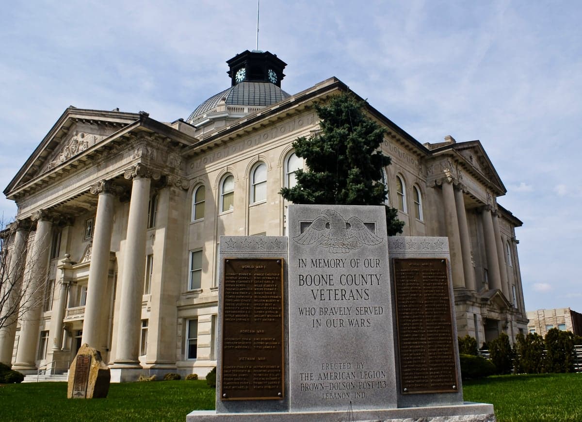
Photo: Wikipedia
Strategic Assessment of Boone County
Meaningful friction. Expect exposure to either population pressure, blast zones, or natural disaster risk. Consider buying a retreat property.
What does the Strategic Assessment tell us?
Our Strategic Assessment grades tactical survivability of an area. Major population centers, military targets, fallout zones, natural disasters, and border exposure all drive risk — lower exposure means a more defensible position in a crisis.
This is heavily inspired by Joel Skousen's Strategic Relocation book. Highly recommended you checkout the book ($)What does this tell us?
Our Strategic Assessment grades tactical survivability of an area. Major population centers, military targets, fallout zones, natural disasters, and border exposure all drive risk — lower exposure means a more defensible position in a crisis.
This is heavily inspired by Joel Skousen's Strategic Relocation book. Highly recommended you checkout the book ($)Strategic Pillars

Key Distances
Strategic Assessment Analysis
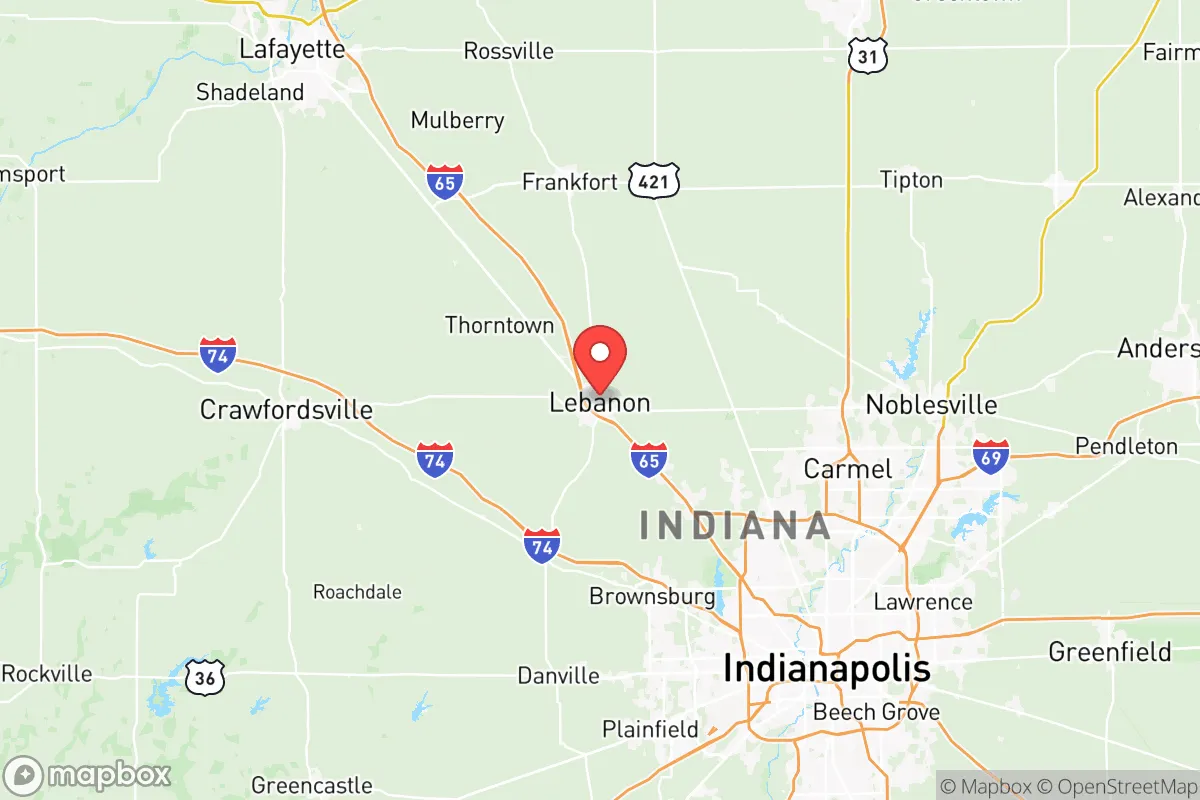
Boone County, Indiana, occupies a strategic position in the state's central corridor, offering a blend of rural accessibility and proximity to Indianapolis that appeals to relocators prioritizing both self-sufficiency and economic opportunity. The county's resilience profile is shaped by its location roughly 20 miles northwest of downtown Indianapolis, placing it close enough to urban infrastructure for supply chains and employment but far enough to avoid the densest population and industrial targets. With a population of approximately 70,000 spread across towns like Lebanon, Zionsville, and Whitestown, Boone County has experienced steady growth while maintaining a low-density, agricultural character that supports a degree of self-reliance.
Geographic position and natural advantages for long-term stability
Boone County sits on the Tipton Till Plain, a flat to gently rolling landscape of fertile glacial soils that has historically made it a strong agricultural producer. This topography offers practical advantages for a relocator: the land is well-suited for small-scale farming, gardening, and livestock, with ample acreage available outside the towns. The county is drained by the West Fork of the White River and its tributaries, including Eagle Creek and Sugar Creek, providing surface water sources that supplement groundwater from the underlying glacial aquifers. The region's temperate continental climate delivers roughly 40 inches of annual precipitation, evenly distributed throughout the year, which supports rain-fed agriculture and reduces reliance on irrigation. Boone County's position away from major fault lines, coastlines, and floodplains means it faces minimal risk from earthquakes, hurricanes, or catastrophic flooding, though localized flash flooding can occur along creek bottoms after heavy rains. The area's elevation, generally between 800 and 900 feet above sea level, offers no particular defensive advantage but also presents no topographic vulnerabilities. For a relocator assessing long-term stability, the county's agricultural base, reliable water supply, and moderate climate create a foundation for sustained habitation without the extremes seen in other regions.
Risks, exposures, and proximity to fallout-relevant landmarks
The most significant risk for Boone County relocators stems from its proximity to Indianapolis, a major metropolitan area of roughly 900,000 residents within Marion County. In a national emergency scenario—whether natural disaster, grid failure, or geopolitical conflict—Indianapolis presents a concentration of population, infrastructure, and potential targets. The city hosts the Indianapolis International Airport, a FedEx hub, and several major logistics centers, all of which could become chokepoints or secondary targets. More specifically, Boone County lies roughly 50 miles northeast of the Crane Naval Surface Warfare Center, a U.S. Navy installation that handles weapons systems and munitions, and about 70 miles north of the Indianapolis metropolitan area's industrial corridors. While Boone County itself contains no major military bases, refineries, or nuclear facilities, its location within the Indianapolis-Cincinnati-Chicago triangle means it could be affected by fallout or disruption from strikes on those larger urban centers. The county's own infrastructure—including the Lebanon Municipal Airport and the CSX rail line running through Lebanon—is modest but could become a secondary concern if regional logistics are disrupted. For a relocator, the key takeaway is that Boone County's rural character offers a buffer, but its proximity to Indianapolis and regional transportation hubs means it is not isolated from the consequences of a major event affecting the Midwest.
Practical resilience for a relocator: food, water, energy, and defensibility
Boone County's agricultural foundation is its strongest asset for food security. The county's 400+ farms produce corn, soybeans, wheat, and hay, with a growing number of smaller operations raising cattle, poultry, and vegetables. Farmers markets in Lebanon and Zionsville operate seasonally, and the county's right-to-farm laws protect agricultural operations from nuisance complaints, supporting a culture of local food production. For a relocator seeking self-sufficiency, the availability of undeveloped land—much of it zoned agricultural—allows for gardening, orchards, and small livestock without restrictive ordinances. Water access is generally reliable: the majority of rural properties draw from private wells tapping into the glacial aquifer system, which provides consistent yields of 10-30 gallons per minute in most areas. Municipal water in Lebanon and Zionsville comes from surface water sources, including Eagle Creek Reservoir, but a well-equipped rural property offers independence from municipal systems. Energy resilience is more mixed. Duke Energy provides grid electricity, and natural gas is available in most towns, but rural areas may rely on propane or heating oil. Solar potential is moderate, with roughly 4.5 peak sun hours per day, and the flat terrain makes ground-mounted arrays feasible. Wood heating is viable given the county's forest cover, which is about 15-20% of land area, primarily in woodlots along creeks and drainageways. Defensibility is a relative weakness: the open, flat terrain offers little natural cover or chokepoints, and the county's road network—dominated by section-line roads and state highways like IN-32 and IN-39—provides multiple approaches to any given property. However, the low population density and strong community networks in towns like Thorntown and Jamestown can serve as informal early-warning and mutual-aid systems. For a relocator, the practical picture is one of moderate resilience: strong on food and water, adequate on energy with some investment, and requiring careful property selection for security.
The overall strategic picture for Boone County is that of a moderately resilient location with clear trade-offs. Its agricultural capacity, water availability, and distance from major industrial targets make it a viable choice for a relocator seeking a balance between rural self-sufficiency and access to urban resources. The primary vulnerabilities are its proximity to Indianapolis and the flat, open terrain that limits natural defensibility. For a family or individual willing to invest in well water, solar or wood heating, and a property with some screening or distance from main roads, Boone County offers a solid foundation for long-term stability. It is not a hardened retreat, but it is a practical, livable option for those who want to be prepared without living off-grid. The county's growth trajectory—driven by Indianapolis suburban expansion—means that land values are rising, but so is the availability of services and community infrastructure. For the strategic-minded relocator, Boone County represents a middle path: close enough to matter, far enough to survive.

* Values derived from national, state, county, city and local statistics and may differ in a specific area. Last updated: 2026-06-29T15:03:04.000Z
Narrative content on this page is AI-generated and may contain mistakes. Verify any details that matter before acting on them.
ReloMaps may earn a commission from affiliate links at no extra cost to you.

