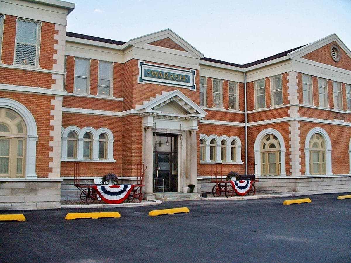
Photo: Wikipedia
Strategic Assessment of Macon County
Meaningful friction. Expect exposure to either population pressure, blast zones, or natural disaster risk. Consider buying a retreat property.
What does the Strategic Assessment tell us?
Our Strategic Assessment grades tactical survivability of an area. Major population centers, military targets, fallout zones, natural disasters, and border exposure all drive risk — lower exposure means a more defensible position in a crisis.
This is heavily inspired by Joel Skousen's Strategic Relocation book. Highly recommended you checkout the book ($)What does this tell us?
Our Strategic Assessment grades tactical survivability of an area. Major population centers, military targets, fallout zones, natural disasters, and border exposure all drive risk — lower exposure means a more defensible position in a crisis.
This is heavily inspired by Joel Skousen's Strategic Relocation book. Highly recommended you checkout the book ($)Strategic Pillars

Key Distances
Strategic Assessment Analysis
Macon County, anchored by the city of Decatur, offers a strategic blend of Midwestern agricultural stability and industrial infrastructure that makes it a surprisingly resilient choice for relocation, particularly for those prioritizing disaster readiness and self-sufficiency. Its position in central Illinois places it at a meaningful distance from major metropolitan areas like Chicago and St. Louis, reducing exposure to the cascading failures that can accompany large-scale emergencies, while still providing access to critical supply routes and resources. The area’s economic base, rooted in grain processing, manufacturing, and rail logistics, creates a self-contained ecosystem that can function independently if regional supply chains are disrupted. For a conservative-leaning audience focused on preparedness, Macon County represents a middle-ground option—developed enough to offer essential services and employment, but rural and decentralized enough to afford significant strategic depth.
Geographic position and natural advantages for self-sufficiency
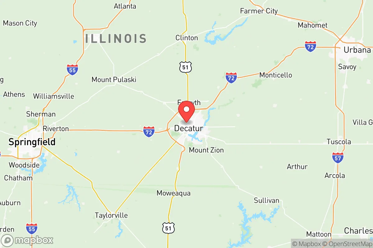
Macon County sits on the flat, fertile plains of the Sangamon River basin, a landscape that is both a blessing and a tactical consideration. The county’s dominant natural feature is the Sangamon River, which flows through Decatur and is impounded to form Lake Decatur, a 2,800-acre reservoir that serves as the city’s primary water source. This is a critical resilience asset: a reliable, municipally-managed freshwater supply that is not dependent on distant aquifers or inter-basin transfers. The surrounding farmland is among the most productive in the state, with corn and soybeans dominating the local agricultural output. For a relocator seeking self-sufficiency, the ability to secure local food directly from nearby farms or through Decatur’s massive grain processing facilities—including multiple Archer Daniels Midland (ADM) plants—is a tangible advantage. The county’s flat terrain simplifies transport, but also offers limited natural cover; defensibility in a worst-case scenario would rely more on distance from high-value targets than on topography. The nearest significant military installation is Scott Air Force Base, roughly 90 miles to the southwest, and the Bloomington–Normal area is about 50 miles north, housing State Farm’s corporate campus—neither is a primary nuclear target. The absence of major ports, refineries, or high-density population centers within the county reduces its attractiveness as a strategic strike location, though this is not absolute.
Exposure to natural disasters and proximity to fallout-relevant landmarks
Macon County’s natural hazard profile is dominated by severe weather rather than catastrophic events. The area sits firmly in the Midwest’s traditional tornado alley, with an average of 10 to 15 tornado warnings per year over the past decade, and the potential for violent EF-3 or stronger storms. Flooding along the Sangamon River and its tributaries, particularly around Long Creek and Niantic, occurs intermittently, though modern levees and Lake Decatur’s flood-control capacity mitigate the worst risks. Winter storms can produce ice accumulations and snowfall of 12-18 inches annually, capable of disrupting power and transport for days. Wildfire risk is negligible in this humid, agricultural environment. In terms of man-made risks, the most notable concern is proximity to Decatur’s industrial core, which includes ADM’s massive corn wet-milling facility, a major soybean processing plant, and a large fertilizer terminal. While not a nuclear or chemical weapons target, these facilities handle anhydrous ammonia, chlorine, and other hazardous materials; a major industrial accident or targeted attack on these supply chains could create localized toxic exposure. The county is roughly 100 miles from the St. Louis metro area, which does contain the Zion Nuclear Power Station (decommissioned but with spent fuel stored on-site) and the Wood River Refinery in nearby Roxana, Illinois. While these are technically outside the county, a catastrophic release or strike could affect downwind communities. The Clinton Nuclear Power Plant, located about 45 miles northeast in DeWitt County, is a more immediate consideration—its decommissioning and spent-fuel storage represent a low-probability but high-consequence hazard for eastern portions of Macon County.
Practical resilience for a relocator: food, water, energy, and defensibility
For someone serious about self-sufficiency, Macon County offers a strong baseline. Food security is excellent: the county’s agricultural output is industrial-scale, but small-scale producers, farmers’ markets, and community-supported agriculture (CSA) operations are present in towns like Mount Zion, Forsyth, and Maroa. Decatur’s ADM facilities process millions of bushels of grain annually, creating a local stockpile that, while not edible raw, forms the basis for livestock feed, ethanol, and processed foods. Water is the strongest asset—Lake Decatur is a large, managed reservoir, and rural areas rely on private wells, which are common and generally productive in the region’s glacial till aquifers. Energy resilience is mixed: the county is served by Ameren Illinois, and the grid is moderately reliable, but the area is not a major renewable energy hub. Solar adoption is below the state average, and wind farms are sparse in the immediate area. Back-up generation, either by propane or natural gas, is a practical consideration for any long-term preparedness plan. Defensibility is the weakest link in the county’s profile. The terrain is flat and open, with few natural chokepoints or defensive terrain features. Decatur itself is a city of roughly 70,000 people, with a compact downtown grid and dispersed suburban developments; it would be difficult to secure in a major civil disruption. However, the surrounding small towns—Macon, Warrensburg, and Harristown—offer a more dispersed population pattern. A relocator looking for true rural defensibility would focus on the outlying townships away from the rail yards and industrial corridors, where access to well water, hunting land, and natural barriers like streams and wooded draws can be leveraged. The county’s network of state and county roads provides multiple egress routes, though the Interstates 72 and 247 corridors are likely to become congestion points.
Overall, Macon County presents a pragmatic strategic picture for the disaster-conscious relocator. It offers a credible balance of resource availability—particularly water and food—and a moderate-risk exposure profile, largely insulated from the highest-consequence targets like major military bases, ports, or nuclear power plants under active operation. The primary trade-offs are its vulnerability to severe weather and the proximity to St. Louis and Decatur’s industrial hazards, which require careful site selection within the county. For a family or individual willing to invest in storm sheltering, backup energy, and property selection away from rail lines and industrial zones, Macon County can function as a resilient base of operations. It is not a fortress, but it is a defensible, independent-minded community in a part of the country that knows how to endure a hard winter and a bad harvest—and that counts for something in a crisis.

* Values derived from national, state, county, city and local statistics and may differ in a specific area. Last updated: 2026-07-01T10:47:46.000Z
Narrative content on this page is AI-generated and may contain mistakes. Verify any details that matter before acting on them.
ReloMaps may earn a commission from affiliate links at no extra cost to you.

