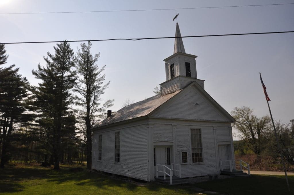
Photo: Wikipedia
Strategic Assessment of Halifax, VT
Meaningful friction. Expect exposure to either population pressure, blast zones, or natural disaster risk. Consider buying a retreat property.
What does the Strategic Assessment tell us?
Our Strategic Assessment grades tactical survivability of an area. Major population centers, military targets, fallout zones, natural disasters, and border exposure all drive risk — lower exposure means a more defensible position in a crisis.
This is heavily inspired by Joel Skousen's Strategic Relocation book. Highly recommended you checkout the book ($)What does this tell us?
Our Strategic Assessment grades tactical survivability of an area. Major population centers, military targets, fallout zones, natural disasters, and border exposure all drive risk — lower exposure means a more defensible position in a crisis.
This is heavily inspired by Joel Skousen's Strategic Relocation book. Highly recommended you checkout the book ($)Strategic Pillars

Key Distances
Regional Safe Places
Below is our recommended "safe zones" in Vermont and the surrounding area based on our strategic heuristics. For most people, it's unrealistic to live in a “safe zone” full-time due to work, family or other personal reasons. They tend to be more rural. However, many of these areas are perfect for second homes and retreat properties that double as a vacation home or even a short-term rental.




Important Note: For informational purposes only. This does not mean nothing bad ever happens in the green zones. Please use common sense. This is based on public data and modeled with AI. We tried to take a conservative approach but mistakes happen. We update this regularly as new information becomes available.
Solar Generator Recommendations
Backup power matters more here than in safer locations. We've picked three solar generators across budgets and capacity tiers — start with the budget unit if you only need a few essentials, or step up if you want to run a fridge and HVAC for days at a time.

Jackery Portable Power Station Explorer 300
Budget OptionPower on the Go: Weighing only 11 lbs, it's convenient to set up and store with book-sized foldable solar panels

BLUETTI Portable Power Station AC180
Designed for both indoor and outdoor scenarios, AC180 is highly capable as it has a robost capacity and continuous output power.

EF ECOFLOW DELTA Pro Ultra Power Station
Upgraded PickEcoFlow DELTA Pro Ultra is a whole-home energy system designed to grow with your family. Integrated with the Smart Home Panel 2, it scales to meet your evolving energy needs — keeping your home powered, intelligent, and secure through every stage of life.
We earn a commission, at no additional cost to you.
Strategic Assessment Analysis
Halifax, Vermont, presents a nuanced strategic picture for the relocation-minded reader prioritizing disaster readiness and self-sufficiency. Its position in the rural, sparsely populated southeastern corner of the state offers a genuine buffer from the immediate blast and fallout zones of major metropolitan targets, while still being within a practical distance for supply runs or medical access when conditions are stable. The town’s low population density, heavily wooded terrain, and distance from interstate highways and rail hubs contribute to a profile that is neither a high-value target nor a likely chokepoint for refugee flow, making it a defensible, low-signature location for those serious about long-term resilience.
Geographic position and natural advantages for long-term self-sufficiency
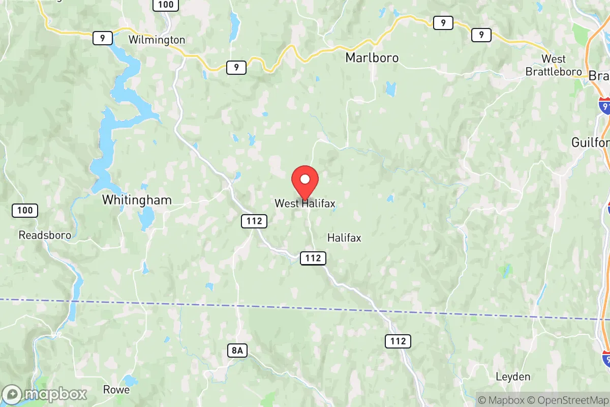
Halifax sits in a region defined by the Green Mountains to the west and the Connecticut River Valley to the east, placing it in a zone of moderate elevation with ample surface water, dense forest cover, and a climate that supports four-season living. The town’s location in Windham County, roughly 20 miles from the Massachusetts border and 30 miles from the New Hampshire line, provides a degree of geographic insulation: it is not a crossroads for major north-south or east-west traffic, and the nearest interstate (I-91) is about 15 miles east, meaning the area is unlikely to see heavy evacuation traffic or military convoys in a crisis. The terrain itself—steep hills, narrow valleys, and winding dirt roads—acts as a natural barrier to casual access, which is a significant advantage for anyone concerned with operational security or simply avoiding the chaos of post-disaster movement. The region’s abundant hardwood forests offer a sustainable fuel source for heating and cooking, while the numerous streams, ponds, and the nearby Deerfield River provide reliable water sources, though treatment will be necessary. The growing season is short (roughly 120 days), but the soils in the valley bottoms are workable for small-scale agriculture, and the area’s history of subsistence farming suggests that with effort, a household can achieve meaningful food production.
Risks, exposures, and proximity to fallout-relevant landmarks
The primary risks in Halifax are natural rather than man-made, which is a net positive for the resilience-minded relocator. The area is not in a designated floodplain for the most part, though low-lying properties near streams can see seasonal flooding. Winter storms are the most consistent hazard: heavy snow, ice, and prolonged power outages are annual events, and the town’s rural road network can be impassable for days after a major storm. This is less a risk and more a feature of the environment—it forces preparedness. Earthquake risk is low, and tornadoes are rare in this part of Vermont. From a man-made threat perspective, Halifax’s distance from high-value targets is its strongest card. The nearest city of any strategic significance is Brattleboro (population ~7,000), about 20 miles north, which is not a likely nuclear target. Boston is roughly 100 miles southeast, and New York City is about 150 miles south-southwest—both are high-probability targets in a major conflict, but Halifax is far enough that it would not experience direct blast effects. Fallout risk is moderate: prevailing winds in a regional conflict would likely carry fallout from a Boston or New York strike to the northeast or east, placing Halifax on the fringe of any significant plume. However, a strike on the Portsmouth Naval Shipyard (about 100 miles east) or the Vermont Yankee nuclear plant (decommissioned, but still a potential target for sabotage) could pose a more direct threat. The town’s wooded, hilly terrain would provide some shielding from fallout, but a basement or interior room with a HEPA filter is a prudent investment. Proximity to the Massachusetts border also means that in a crisis, Halifax could see refugees from the Boston metro area moving north on Route 8 or Route 112, though the lack of major highways through the town itself should keep numbers manageable.
Practical resilience for a relocator: food, water, energy, and defensibility
For the individual or family serious about self-sufficiency, Halifax offers a strong foundation but requires significant upfront investment. Water is abundant: the town sits atop a fractured bedrock aquifer, and most properties have private wells. Surface water from streams and ponds is plentiful, but boiling or filtration is mandatory due to beaver activity and agricultural runoff. A hand pump or solar-powered well pump is a wise addition, as grid outages are common. Food production is feasible but not easy. The short growing season limits warm-weather crops, but cold-hardy varieties of potatoes, kale, carrots, and squash do well. The surrounding forests are rich in deer, turkey, and small game, and fishing in the Deerfield River is reliable. For long-term storage, a root cellar or cold pantry is essential, as is a supply of heirloom seeds. Energy is the weak point. The grid in rural Vermont is notoriously unreliable, with outages lasting days after winter storms. Solar is viable—the region gets about 160 sunny days per year, less than the national average but enough for a well-designed off-grid system with battery storage. Wood heat is the standard here; most homes have wood stoves or boilers, and a cord of seasoned hardwood can be had for $250–$350 if you don’t cut your own. Propane for cooking and backup generation is widely available but should be stored in bulk. Defensibility is a mixed picture. The town’s low population (under 800) and dispersed settlement pattern mean that a single household can maintain a low profile. The dense forest and steep terrain provide natural cover and make approach detection difficult. However, the same narrow roads that deter outsiders also limit your own mobility and escape routes. A four-wheel-drive vehicle with good ground clearance is non-negotiable. The local community is small and insular; building relationships with neighbors is critical for mutual aid, but outsiders may face a long trust-building period. The nearest hospital is in Brattleboro (20 miles), and the local volunteer fire department is capable but limited in resources. For medical emergencies or serious injuries, evacuation to a larger facility will be a multi-hour ordeal.
Overall, Halifax, Vermont offers a solid strategic option for the relocator who values isolation, natural resources, and a low probability of being near a primary target. It is not a prepper’s paradise—the short growing season, grid fragility, and remote medical access are real liabilities—but for those willing to invest in wood heat, solar power, and a well-stocked pantry, it provides a defensible, low-signature base of operations. The key trade-off is between security and convenience: you gain genuine distance from the dangers of the urban corridor, but you lose easy access to the infrastructure that modern life depends on. For the serious-minded individual or family, that is a trade worth making, provided you come prepared to be self-reliant for weeks at a time. The area’s greatest strength is its obscurity—and in a crisis, that is the most valuable asset of all.

* Values derived from national, state, county, city and local statistics and may differ in a specific area. Last updated: 2026-10-17T00:28:32.000Z
Narrative content on this page is AI-generated and may contain mistakes. Verify any details that matter before acting on them.
ReloMaps may earn a commission from affiliate links at no extra cost to you.

