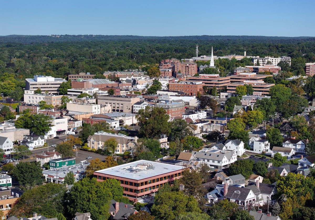
Photo: Wikipedia
Strategic Assessment of Greenwich, CT
Multiple tactical vulnerabilities. Population density, target proximity, or disaster risk are likely compounding. A retreat property and exit planning is required.
What does the Strategic Assessment tell us?
Our Strategic Assessment grades tactical survivability of an area. Major population centers, military targets, fallout zones, natural disasters, and border exposure all drive risk — lower exposure means a more defensible position in a crisis.
This is heavily inspired by Joel Skousen's Strategic Relocation book. Highly recommended you checkout the book ($)What does this tell us?
Our Strategic Assessment grades tactical survivability of an area. Major population centers, military targets, fallout zones, natural disasters, and border exposure all drive risk — lower exposure means a more defensible position in a crisis.
This is heavily inspired by Joel Skousen's Strategic Relocation book. Highly recommended you checkout the book ($)Strategic Pillars

Key Distances
Regional Safe Places
Below is our recommended "safe zones" in Connecticut and the surrounding area based on our strategic heuristics. For most people, it's unrealistic to live in a “safe zone” full-time due to work, family or other personal reasons. They tend to be more rural. However, many of these areas are perfect for second homes and retreat properties that double as a vacation home or even a short-term rental.




Important Note: For informational purposes only. This does not mean nothing bad ever happens in the green zones. Please use common sense. This is based on public data and modeled with AI. We tried to take a conservative approach but mistakes happen. We update this regularly as new information becomes available.
Solar Generator Recommendations
Backup power matters more here than in safer locations. We've picked three solar generators across budgets and capacity tiers — start with the budget unit if you only need a few essentials, or step up if you want to run a fridge and HVAC for days at a time.

Jackery Portable Power Station Explorer 300
Budget OptionPower on the Go: Weighing only 11 lbs, it's convenient to set up and store with book-sized foldable solar panels

BLUETTI Portable Power Station AC180
Designed for both indoor and outdoor scenarios, AC180 is highly capable as it has a robost capacity and continuous output power.

EF ECOFLOW DELTA Pro Ultra Power Station
Upgraded PickEcoFlow DELTA Pro Ultra is a whole-home energy system designed to grow with your family. Integrated with the Smart Home Panel 2, it scales to meet your evolving energy needs — keeping your home powered, intelligent, and secure through every stage of life.
We earn a commission, at no additional cost to you.
Strategic Assessment Analysis
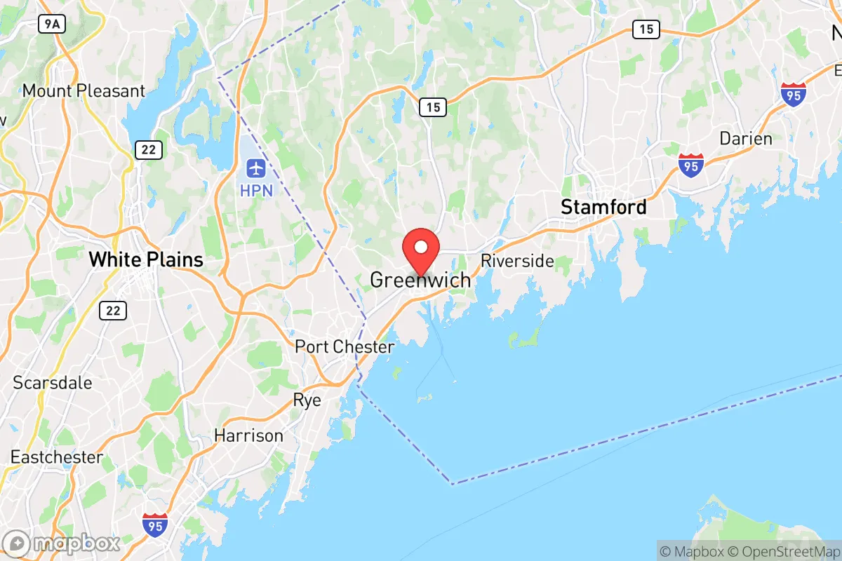
Greenwich, Connecticut sits roughly 30 miles northeast of Midtown Manhattan, a location that delivers world-class amenities but carries real strategic liabilities for anyone serious about disaster readiness and self-sufficiency. The town's extraordinary wealth funds top-tier public services, low crime rates, and extensive private preparedness infrastructure, yet its coastal exposure and proximity to New York City create a risk profile that demands careful evaluation. For the conservative-leaning relocator who values self-reliance, local governance, and long-term security, Greenwich offers a high baseline of comfort but requires explicit countermeasures to address its vulnerabilities.
Geographic advantages and natural defenses in Fairfield County's coastal corridor
Greenwich occupies the southwestern corner of Connecticut, framed by Long Island Sound to the south and the New York state line to the west. This position gives residents access to saltwater recreation and a moderate climate, but it also places the town squarely within the Northeast's hurricane belt and directly in the fallout shadow of multiple man-made targets. Greenwich lies less than 30 miles from Midtown Manhattan, within what defense analysts consider the "medium-probability blast and fallout zone" for a nuclear event targeting New York City. The prevailing westerly winds would push fallout from any NYC strike directly over lower Fairfield County, including Greenwich, within hours. Additionally, the now-closed Indian Point nuclear power plant sits 20 miles north in Buchanan, New York; while decommissioning is underway, spent fuel remains on site, and any accident or attack there would send radioactive material down the Hudson River valley and into coastal Connecticut. Natural defenses are minimal: the town's hilly interior offers some shielding from storm surge, but extensive shoreline development and low-lying areas near Mianus River, Byram, and Cos Cob are vulnerable to tidal flooding, especially as sea levels rise and nor'easters intensify.
Natural and man-made risks in Greenwich: what relocators should evaluate
The primary natural risk is coastal flooding and hurricane storm surge. The Federal Emergency Management Agency (FEMA) maps show large portions of Greenwich's south end—particularly the neighborhoods of Old Greenwich, Riverside, and the downtown area—falling within the 1-percent-annual-chance flood zone. A Category 2 hurricane making landfall near New York City could push water 12 to 15 feet deep into these neighborhoods, cutting off evacuation routes via I-95 and the Merritt Parkway. Tidal flooding on "king tide" days already disrupts routine travel in low-lying sections of the Post Road. Winter nor'easters bring heavy snow and power outages that can last a week or more, especially in wooded areas where tree limbs take down overhead lines. The man-made risk picture is dominated by proximity to New York City as a terrorism or military target. Greenwich sits on the primary evacuation corridor for a metropolitan region of over 20 million people; any event that triggers a mass exodus from Manhattan will clog I-95, the Merritt Parkway, and Metro-North rail within minutes, making escape or resupply nearly impossible. The town also contains multiple "soft" vulnerabilities: a dense concentration of high-net-worth households makes it a target for looting or civil unrest after a breakdown of order, and the heavy reliance on just two major highways for inbound logistics creates a single-point-of-failure problem.
Practical self-sufficiency: food, water, energy, and defensibility in a wealthy suburb
Greenwich imports nearly all of its food. There is almost no working farmland within town limits, and the few farmers' markets operate seasonally. A disruption to the trucking corridors from the Midwest or the Northeast's wholesale food hubs (like Hunts Point in the Bronx) would leave supermarket shelves bare within 48 hours. Residents with financial means can stockpile supplies, but the dense suburban layout makes large-scale food production infeasible. Water is somewhat more resilient: the town draws from the Mianus River Reservoir and the Putnam Reservoir, both part of the Aquarion Water Company system, which has backup generators and interconnection agreements. However, these reservoirs are surface supplies vulnerable to contamination by fallout, chemical spills, or prolonged drought. Private wells exist on larger properties in the backcountry, but they represent a minority of homes. Energy infrastructure is above average for the region: Eversource has invested in grid hardening, but tree-related outages remain common, and only a fraction of critical facilities have permanent backup generation. Solar panels and battery storage are prevalent among higher-end homes, but adoption is not universal. Defensibility is the weakest point. Greenwich is not a "chokepoint" geography; multiple roads and water approaches make it impossible to secure perimeters. The town's police force is well-funded and professional, but it is designed for everyday law enforcement, not for sustained defense of territory. For the relocator seeking true self-sufficiency, Greenwich's social cohesion—rooted in strong homeowners' associations, neighborhood watch groups, and civic organizations—is an asset, but physical isolation and independent resource production remain out of reach for the majority of residents.
On balance, Greenwich offers a very high quality of life under normal conditions, but its resilience profile is that of a wealthy enclave within a vulnerable megacity sphere. The town's deep resources and competent local government provide a cushion for short-term emergencies, yet its exposure to coastal flooding, its location in the fallout pattern of New York City, and its complete dependence on external supply chains make it a poor choice for anyone prioritizing long-term self-sufficiency. Relocators who must stay within commuting distance of New York should consider inland Fairfield County towns like Ridgefield or Newtown, which sit outside the primary fallout zone and away from the coast, and invest aggressively in on-site power, water, and food storage. For those not tethered to Manhattan, a move farther north—into Litchfield County or the Hudson Valley—would provide far stronger strategic depth. Greenwich is a great place to live; it is not a great place to ride out a major crisis.

* Values derived from national, state, county, city and local statistics and may differ in a specific area. Last updated: 2026-06-20T16:31:03.000Z
Narrative content on this page is AI-generated and may contain mistakes. Verify any details that matter before acting on them.
ReloMaps may earn a commission from affiliate links at no extra cost to you.

