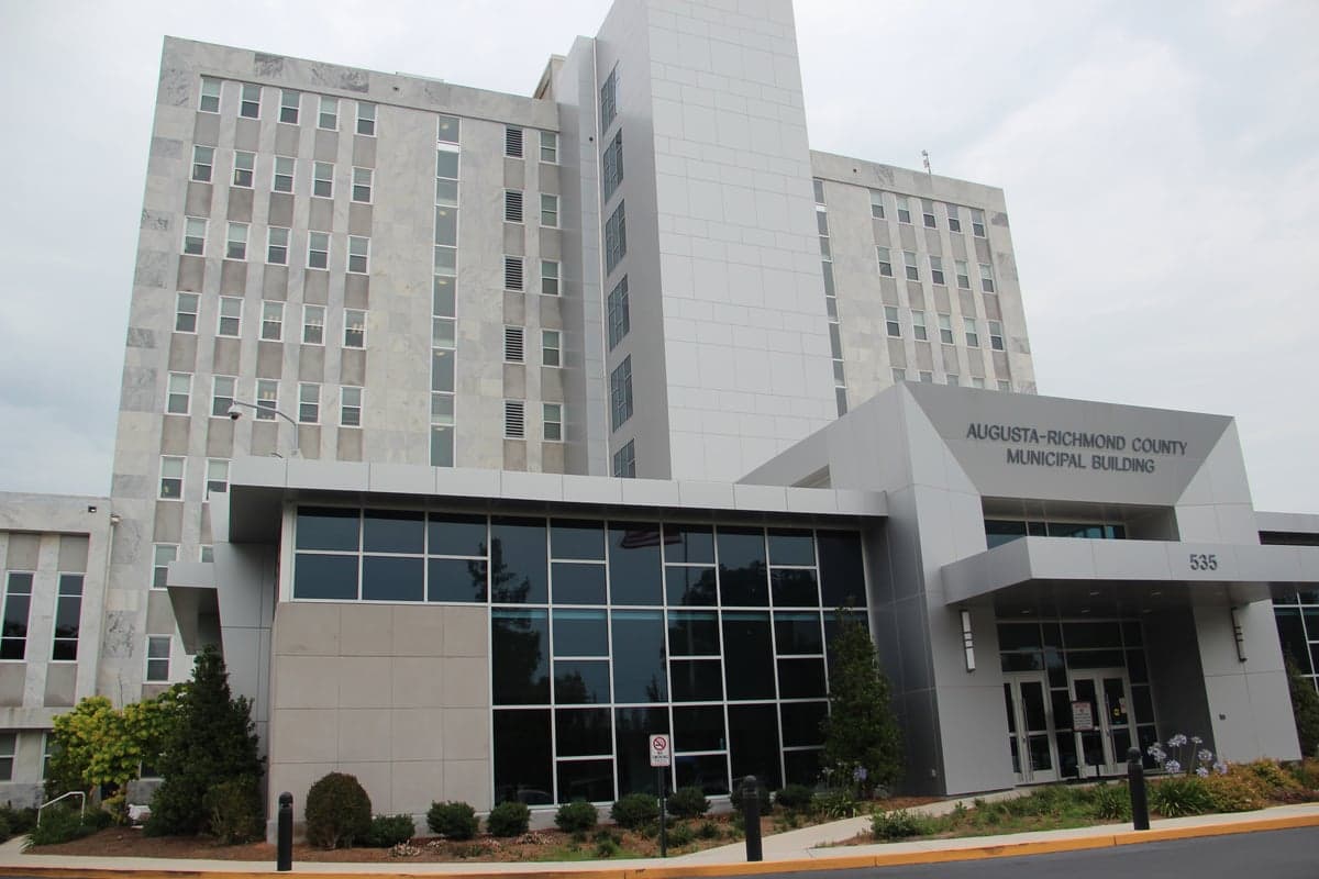
Photo: Wikipedia
Strategic Assessment of Richmond County
Meaningful friction. Expect exposure to either population pressure, blast zones, or natural disaster risk. Consider buying a retreat property.
What does the Strategic Assessment tell us?
Our Strategic Assessment grades tactical survivability of an area. Major population centers, military targets, fallout zones, natural disasters, and border exposure all drive risk — lower exposure means a more defensible position in a crisis.
This is heavily inspired by Joel Skousen's Strategic Relocation book. Highly recommended you checkout the book ($)What does this tell us?
Our Strategic Assessment grades tactical survivability of an area. Major population centers, military targets, fallout zones, natural disasters, and border exposure all drive risk — lower exposure means a more defensible position in a crisis.
This is heavily inspired by Joel Skousen's Strategic Relocation book. Highly recommended you checkout the book ($)Strategic Pillars

Key Distances
Strategic Assessment Analysis
Richmond County, anchored by Augusta, presents a mixed strategic picture for the relocator prioritizing resilience and self-sufficiency. Its inland position places it well outside the direct blast or fallout zones of major strategic targets like the Port of Savannah or the nuclear facilities at Plant Vogtle, yet its own critical infrastructure creates distinct vulnerabilities. The county’s location at the intersection of I-20 and the Savannah River offers significant logistical advantages for resupply and movement, but the area requires careful assessment of its exposure to both natural and man-made risks before a confident relocation decision.
Geographic position and natural advantages: buffers and barriers
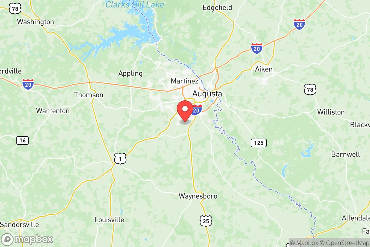
Georgia’s fall line runs through Augusta, marking the natural boundary between the Piedmont and the Coastal Plain. This provides a slight elevation advantage (around 100-150 feet above sea level at the river) and historically reliable water flow from the Savannah River, which forms the county’s eastern border with South Carolina. To the west, the Sumter National Forest and the Savannah River Site’s buffer zones create a significant stretch of undeveloped land, reducing population density in that direction. The nearby towns of Evans and Martinez (in Columbia County, directly north) offer suburban density, but much of Richmond County’s southern and western reaches are rural or forested, with the Phinizy Swamp Nature Park providing a natural wetland buffer. This geography gives Augusta a degree of natural defensibility, as major approach routes are limited to the interstate corridors and river crossings, but the flat terrain offers little concealment or vantage points compared to mountainous regions.
Risks, exposures, and proximity to fallout-relevant landmarks
The single most significant risk factor for Richmond County is its adjacency to the Savannah River Site (SRS), a 310-square-mile U.S. Department of Energy nuclear reservation located directly south in Aiken and Barnwell counties, South Carolina. SRS houses nuclear materials, tritium processing facilities, and decades of radioactive waste. While the site is heavily guarded, a major industrial accident or a targeted attack on SRS would place much of southern Richmond County downwind of a potential radiologic release. The prevailing winds in the region are from the southwest, meaning that an incident at SRS would carry matierial directly over Augusta and into the northern parts of the county. Additionally, the Augusta Regional Airport at Bush Field hosts a U.S. Army Aviation support facility and a FedEx cargo hub, making it a potential secondary target. Natural hazards include the annual threat of Atlantic hurricane remnants tracking inland, which can produce flooding along the Savannah River and its tributaries, particularly in low-lying areas like Harrisburg and the Laney-Walker district. Tornado risk is moderate, with the county averaging 3-5 tornado warnings per year. The area lacks the earthquake exposure of the West Coast, but the SRS site adds a man-made seismic risk from potential waste storage incidents.
Practical resilience for a relocator: food, water, energy, and defensibility
For the individual seeking self-sufficiency, Richmond County offers several concrete advantages. Water access is excellent: the Savannah River provides a virtually unlimited surface water source, and the county sits atop the Dublin-Midville aquifer system, with residential wells typically reaching reliable groundwater at 100-200 feet. The Eisenhower Park and the Augusta Canal system provide secondary water sources and potential irrigation routes. Local food resilience is moderate: Richmond County has few working farms within its urban core, but surrounding counties (Jefferson, Burke, and McDuffie) have active agricultural production in row crops (corn, soybeans, cotton) and livestock. The Augusta Market at the River and the Farmer’s Market on Broad Street provide local food sourcing during normal times, but a disruption would require relocators to establish their own gardens or barter networks with rural neighbors. Huntable game is present but not abundant in the county’s suburban interface—deer and turkey are found in the McDuffie Public Fishing Area and the Phinizy Swamp area, but pressure is high. Energy-wise, the county is served by Georgia Power and Plant Vogtle (two new reactors came online in 2023 and 2024), which provides a relatively stable grid, but a long-duration outage would leave most residents dependent on fossil fuel generators. Solar potential is good, with Georgia averaging 217 sunny days per year, and no zoning restrictions prevent residential solar installation. Defensibility is a mixed bag: the I-20 and I-520 corridors are primary evacuation routes, but they will become choke points during any mass exodus. The Broad Street commercial corridor and the Daniel Field airport (a general aviation facility) could serve as resupply points, but suburban neighborhoods are inherently difficult to defend against a determined group. The county’s police presence is concentrated in Augusta proper, leaving rural areas like Hephzibah and Blythe with thin coverage, which can be an advantage for those seeking low-profile self-sufficiency.
The overall strategic picture for Richmond County is one of high potential paired with a single dominant risk factor. For the relocator who can position themselves on the northwestern or western edge of the county, away from the SRS plume path and the major industrial corridors along the river, the region offers reliable water, moderate defensibility from wooded buffers, and proximity to agricultural resources in Burke and Jefferson counties. However, the presence of a major nuclear site, a mid-sized airport, and a significant river crossing (I-20 bridge) means that a relocator cannot assume complete safety from man-made events. The most prudent strategy would be to secure property north of I-20, west of the Savannah River, and at least 15 miles from the SRS boundary line. Individuals and families serious about long-term resilience should treat Augusta as a regional hub for supply runs and medical access, but not as the primary location for a surviving homestead. The local Richmond County Emergency Management Agency provides solid basic guidance, but the current county emergency plan does not account for a large-scale SRS incident, which remains the unspoken vulnerability for anyone considering this area for strategic relocation.

* Values derived from national, state, county, city and local statistics and may differ in a specific area. Last updated: 2026-06-25T10:45:44.000Z
Narrative content on this page is AI-generated and may contain mistakes. Verify any details that matter before acting on them.
ReloMaps may earn a commission from affiliate links at no extra cost to you.

