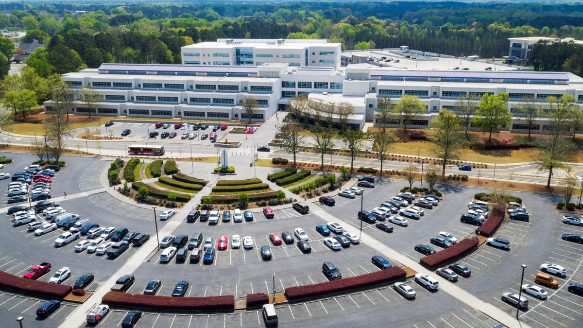
Photo: Wikipedia
Strategic Assessment of Gwinnett County
Meaningful friction. Expect exposure to either population pressure, blast zones, or natural disaster risk. Consider buying a retreat property.
What does the Strategic Assessment tell us?
Our Strategic Assessment grades tactical survivability of an area. Major population centers, military targets, fallout zones, natural disasters, and border exposure all drive risk — lower exposure means a more defensible position in a crisis.
This is heavily inspired by Joel Skousen's Strategic Relocation book. Highly recommended you checkout the book ($)What does this tell us?
Our Strategic Assessment grades tactical survivability of an area. Major population centers, military targets, fallout zones, natural disasters, and border exposure all drive risk — lower exposure means a more defensible position in a crisis.
This is heavily inspired by Joel Skousen's Strategic Relocation book. Highly recommended you checkout the book ($)Strategic Pillars

Key Distances
Strategic Assessment Analysis
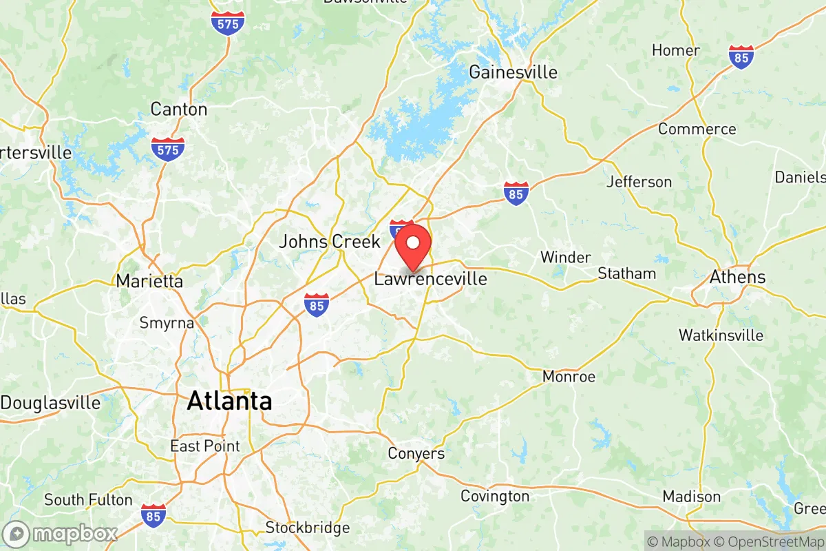
Gwinnett County, Georgia, occupies a strategic position in the southeastern United States that balances proximity to a major metropolitan hub with the practical advantages of inland geography. Located roughly 25 miles northeast of downtown Atlanta, the county offers residents access to the economic and logistical resources of a global city while remaining far enough removed from the most concentrated target zones along the coast and major industrial corridors. For a relocator assessing long-term resilience, Gwinnett’s location provides a meaningful buffer against the immediate fallout risks associated with ports, refineries, and military installations, while still offering the infrastructure and supply networks necessary for daily life and emergency preparedness.
Geographic position and natural advantages for disaster readiness
Gwinnett County sits within the Piedmont region of Georgia, a landscape characterized by rolling hills, hardwood forests, and clay-based soils that provide natural drainage and moderate elevation. The county’s highest point, near the city of Dacula, reaches approximately 1,100 feet above sea level, offering a slight elevation advantage over the coastal plain to the south. This inland position places Gwinnett well outside the storm surge zones of the Atlantic and Gulf coasts, reducing the risk of catastrophic flooding from hurricanes, which are a recurring threat for communities in Savannah, Charleston, or Jacksonville. The county is also located more than 150 miles from the nearest nuclear power plant—the Alvin W. Vogtle Electric Generating Plant near Waynesboro—and roughly 100 miles from the Savannah River Site, a major nuclear materials processing facility. While no location in the eastern United States is entirely free from fallout risk in a major conflict, Gwinnett’s distance from these high-value targets provides a meaningful buffer compared to communities within 50 miles of such facilities. The county’s water resources include the Chattahoochee River along its western border and Lake Lanier to the north, both of which supply the region’s drinking water and offer recreational and subsistence fishing opportunities. The Yellow River and the Mulberry River also flow through the county, providing additional surface water sources for those with the means to treat or filter it. These natural features, combined with the county’s moderate climate and four distinct seasons, support a growing season long enough for home gardening and small-scale agriculture, a key consideration for anyone serious about long-term food security.
Risks, exposures, and proximity to fallout-relevant landmarks
Gwinnett County’s greatest vulnerability stems from its proximity to Atlanta, a city of roughly 500,000 within the city limits and over 6 million in the metropolitan area. Atlanta is home to Hartsfield-Jackson Atlanta International Airport, the world’s busiest airport by passenger traffic, as well as the headquarters of major corporations like Coca-Cola, Delta Air Lines, and The Home Depot. It also hosts the Centers for Disease Control and Prevention (CDC) and the Federal Reserve Bank of Atlanta, making it a high-value target in any strategic conflict scenario. A detonation or major disruption in Atlanta would create cascading effects throughout Gwinnett, including refugee flows, supply chain interruptions, and potential secondary targeting of transportation hubs like the Norfolk Southern rail yards and the CSX intermodal facilities in the region. Additionally, the county lies within 200 miles of the Kings Bay Naval Submarine Base in coastal Georgia, home to the U.S. Navy’s Atlantic Fleet of Trident submarines, and roughly 250 miles from the Port of Savannah, the fourth-busiest container port in the United States. While these distances provide some buffer, a major strike on either facility could generate fallout patterns that affect Gwinnett depending on wind direction and weather conditions. On the natural disaster front, the county is not immune to tornadoes, which occur regularly in the spring and summer months, and severe thunderstorms can produce damaging winds and hail. The region also experiences occasional drought conditions, which can stress water supplies and increase wildfire risk in the more rural northern and eastern parts of the county. For a relocator weighing these factors, the key takeaway is that Gwinnett offers a moderate risk profile—better than coastal or industrial-adjacent areas, but not as insulated as more remote locations in the Appalachian foothills or the Great Plains.
Practical resilience for a relocator: food, water, energy, and defensibility
For the individual or family serious about self-sufficiency, Gwinnett County presents a mixed picture. On the positive side, the county’s agricultural heritage is still visible in its northern and eastern reaches, particularly around the towns of Auburn, Braselton, and Hoschton, where working farms, orchards, and livestock operations remain active. The Gwinnett County Farmers Market in Lawrenceville and the Suwanee Farmers Market provide year-round access to locally grown produce, meats, and dairy products. For those looking to establish a home garden, the county’s soil quality varies but can be improved with composting and raised beds, and the local extension office offers resources on crop selection and pest management. Water availability is generally good, with municipal supplies serving the majority of the population, but well water is an option for properties in unincorporated areas and some rural subdivisions. The county’s energy grid is part of the larger Georgia Power network, which relies on a mix of natural gas, nuclear, coal, and renewable sources. While power outages are relatively rare in normal conditions, the grid is vulnerable to ice storms and severe weather, and a prolonged outage during a crisis could strain resources. Solar panel installations are becoming more common, and the county’s zoning codes generally permit residential solar arrays, though homeowners should check HOA restrictions in planned communities. Defensibility is a more complex consideration. Gwinnett is a suburban county with a population of nearly 1 million, making it densely populated by regional standards. The county’s road network, including Interstate 85, State Route 316, and State Route 20, provides good internal connectivity but also creates choke points during evacuations or civil unrest. The terrain is not particularly defensible, with few natural barriers and a mix of suburban neighborhoods, commercial corridors, and forested patches. For a relocator prioritizing security, the northern and eastern parts of the county offer more rural settings with larger lot sizes, greater privacy, and easier access to secondary roads that bypass major arteries. The presence of Gwinnett County Police and local sheriff’s departments provides a baseline of law enforcement, but in a prolonged crisis, residents would need to rely on neighborhood watch groups and personal preparedness rather than expecting rapid official response.
The overall strategic picture for Gwinnett County is one of calculated trade-offs. It offers a solid geographic buffer against coastal and industrial target zones, a moderate climate that supports year-round gardening, and access to surface water and local food sources. Its proximity to Atlanta provides economic opportunity and infrastructure, but that same proximity introduces risks related to population density, potential refugee flows, and the vulnerability of a major metropolitan target. For a relocator who values a balance between access to urban resources and a reasonable degree of disaster resilience, Gwinnett is a viable option—particularly if they choose a home in the less developed northern or eastern portions of the county. However, for those seeking maximum isolation and defensibility, more remote locations in the North Georgia mountains or the rural Midwest would offer a stronger strategic position. As with any relocation decision, the key is to match the location’s risk profile with the individual’s preparedness goals, resources, and tolerance for uncertainty. Gwinnett County is not a fortress, but it is a defensible base of operations for those who plan ahead and stay informed.

* Values derived from national, state, county, city and local statistics and may differ in a specific area. Last updated: 2026-06-22T03:37:16.000Z
Narrative content on this page is AI-generated and may contain mistakes. Verify any details that matter before acting on them.
ReloMaps may earn a commission from affiliate links at no extra cost to you.

