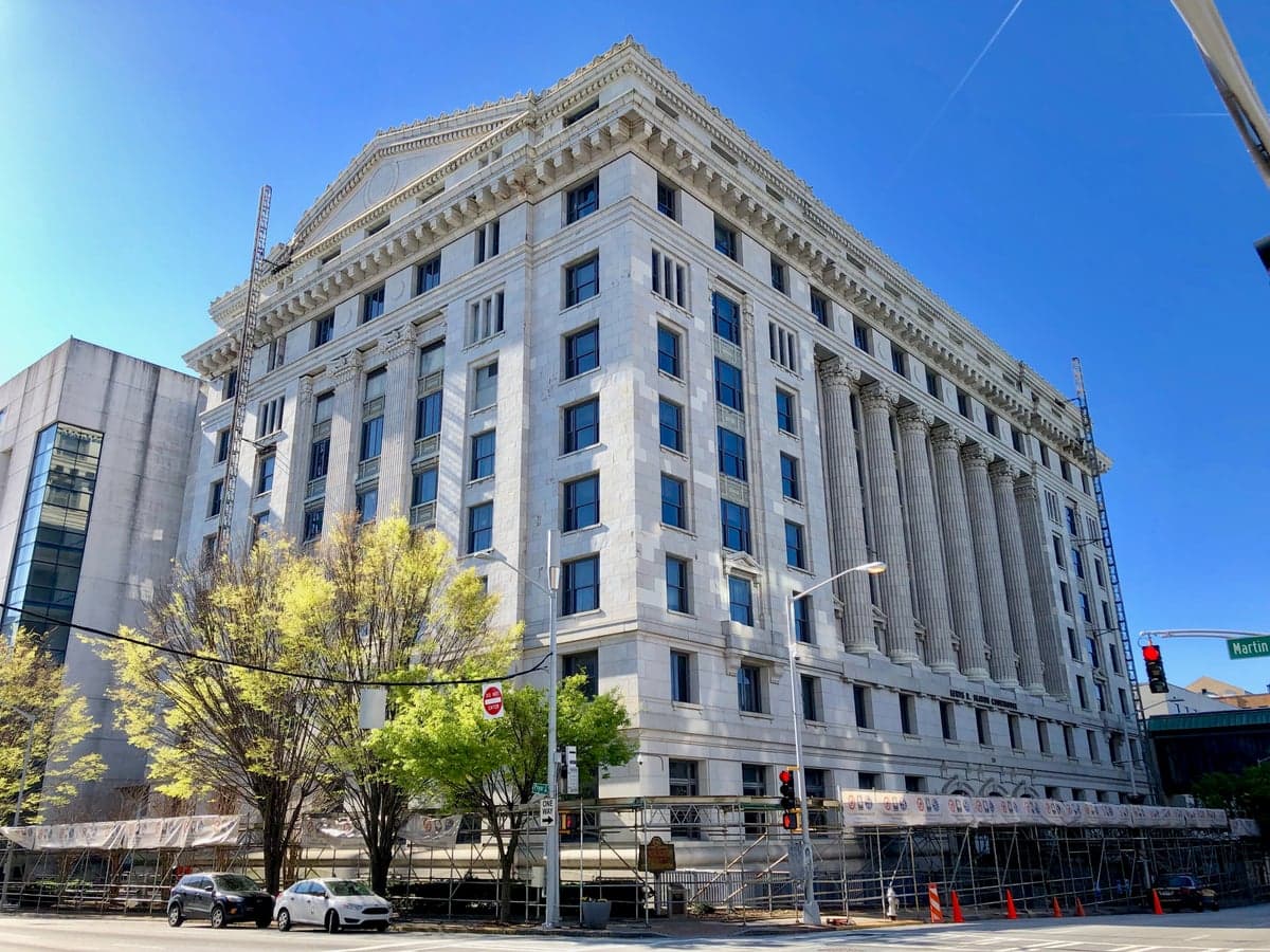
Photo: Wikipedia
Strategic Assessment of Fulton County
Multiple tactical vulnerabilities. Population density, target proximity, or disaster risk are likely compounding. A retreat property and exit planning is required.
What does the Strategic Assessment tell us?
Our Strategic Assessment grades tactical survivability of an area. Major population centers, military targets, fallout zones, natural disasters, and border exposure all drive risk — lower exposure means a more defensible position in a crisis.
This is heavily inspired by Joel Skousen's Strategic Relocation book. Highly recommended you checkout the book ($)What does this tell us?
Our Strategic Assessment grades tactical survivability of an area. Major population centers, military targets, fallout zones, natural disasters, and border exposure all drive risk — lower exposure means a more defensible position in a crisis.
This is heavily inspired by Joel Skousen's Strategic Relocation book. Highly recommended you checkout the book ($)Strategic Pillars

Key Distances
Strategic Assessment Analysis
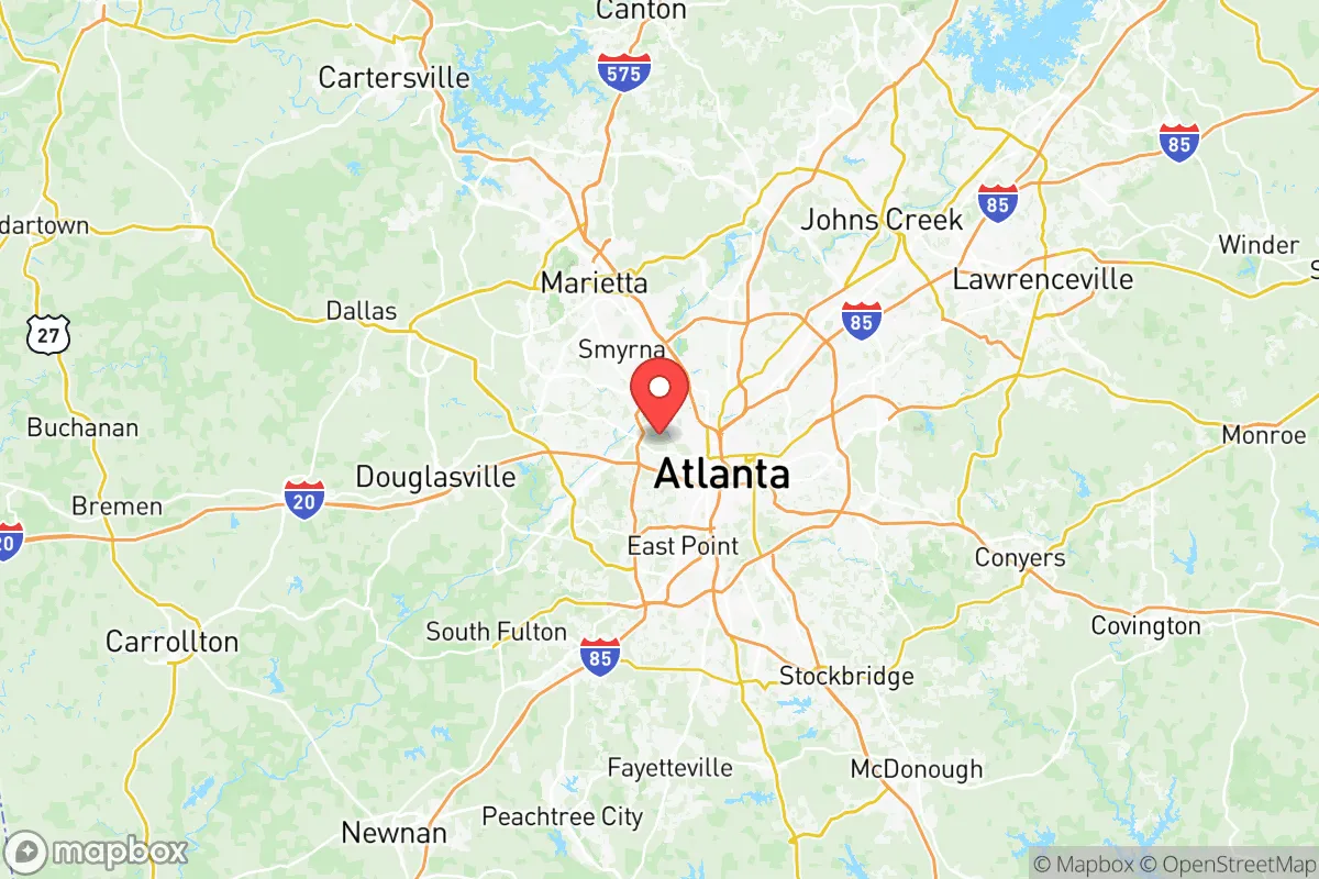
Fulton County, Georgia presents a complex strategic picture for the relocation-minded reader focused on resilience and self-sufficiency. Its core advantage is geographic: sitting inland and uphill from the coast, it avoids the hurricane storm surge and sea-level rise that threaten Savannah and the Golden Isles, while its position at the southern terminus of the Appalachian foothills offers a mix of Piedmont terrain and water access that is rare in the Deep South. However, the county is dominated by Atlanta, a major population center, transportation hub, and home to several high-value infrastructure targets that introduce significant man-made risk into any resilience calculation.
Geographic position and natural advantages for long-term stability
Fulton County’s location in the Piedmont region provides a meaningful natural buffer against the most common climate-driven disasters in the Southeast. The county sits at an average elevation of roughly 1,000 feet above sea level, with the highest points near the Chattahoochee River corridor reaching over 1,200 feet. This elevation, combined with the region’s granite bedrock foundation, makes the area far less prone to the flooding, storm surge, and liquefaction risks that plague coastal Georgia. The Chattahoochee River runs through the northwestern edge of the county, forming the border with Cobb County, and is the primary surface water source for the entire Atlanta metro area. For a relocator, this means access to a major, perennial river system that is unlikely to dry up even in extended drought conditions, unlike the seasonal creeks found in more arid parts of the state. The county’s position also places it roughly 250 miles inland from the Atlantic, well outside the typical hurricane strike zone for catastrophic wind damage, though inland flooding from remnant tropical systems remains a periodic concern. The local climate is humid subtropical, with hot summers and mild winters, which supports year-round food production for those interested in gardening or small-scale agriculture, though the clay-heavy soils common to the Piedmont require amendment for serious crop yields.
Risk exposure: proximity to Atlanta’s infrastructure and fallout-relevant landmarks
The most significant vulnerability for Fulton County is its proximity to Atlanta’s dense concentration of critical infrastructure. Hartsfield-Jackson Atlanta International Airport, located in the southern part of the county near College Park, is the world’s busiest airport by passenger traffic and a major cargo hub. In any national emergency or conflict scenario, this facility would be a high-priority target for disruption, and its proximity to residential areas in East Point, Union City, and Fairburn means that fallout or secondary effects from an attack or major accident could directly impact a large civilian population. Additionally, the county hosts multiple data centers, power substations, and the Centers for Disease Control and Prevention (CDC) headquarters near Emory University, which could be a target for biological or information warfare. The CSX and Norfolk Southern rail yards in Atlanta are among the busiest in the Southeast, moving hazardous materials including chemicals, fuels, and industrial gases through the county daily. A derailment or deliberate strike on these rail corridors could release toxic plumes that would affect large swaths of Fulton County, particularly the southern and western suburbs. The county also sits within the broader Southeastern CONUS missile and air defense zone, meaning that any large-scale conflict involving strategic assets at Dobbins Air Reserve Base in adjacent Cobb County or Fort Moore (formerly Fort Benning) to the south could create secondary risks from military activity in the region.
Practical resilience for a relocator: food, water, energy, and defensibility
For a relocator assessing day-to-day resilience, Fulton County offers a mixed picture. The Chattahoochee River is the primary water source, and the county’s water treatment infrastructure is managed by the Atlanta Department of Watershed Management, which serves over 1.1 million customers. In a grid-down scenario, access to this water would be compromised without backup power for pumping stations, making a private well or rainwater catchment system a wise investment for those living outside the urban core. The county’s energy grid is part of the larger Southern Company network, which relies heavily on natural gas and nuclear generation, with the Plant Vogtle nuclear facility roughly 150 miles away in Waynesboro. A major incident at Vogtle could theoretically affect power stability in Fulton County, though the distance provides a reasonable safety buffer. For food resilience, the county has a growing network of farmers markets and community gardens, particularly in Roswell and Alpharetta in the northern portion of the county, but the overall food system is heavily dependent on trucking and grocery distribution centers. The county’s defensibility is poor in the urban core of Atlanta, where dense population, limited egress routes, and reliance on interstates like I-75, I-85, and I-20 create choke points that would be problematic in an evacuation. However, the northern suburbs—areas like Sandy Springs and Milton—offer more rural pockets with larger lots, tree cover, and access to secondary roads that could provide better options for those seeking a balance between proximity to resources and physical security. The county’s topography, with its rolling hills and forested areas, provides some natural cover and defensible positions, but the overall population density (over 1,000 people per square mile in many areas) makes widespread self-sufficiency difficult.
The overall strategic picture for Fulton County is one of trade-offs. Its inland Piedmont location, reliable water source from the Chattahoochee, and relatively mild climate offer genuine advantages over coastal or low-lying areas in the Southeast. But the county’s role as the economic and transportation heart of Georgia means it will always carry elevated risk from man-made threats tied to Atlanta’s infrastructure. For a relocator who values access to urban resources and is willing to invest in private water, energy backup, and a well-stocked pantry, the northern suburbs of Fulton County offer a reasonable middle ground. Those seeking a more isolated, low-profile, and defensible position would likely be better served by looking further north into the Appalachian foothills of Pickens or Gilmer counties, where population density drops sharply and the terrain offers more natural security. Fulton County is not a survivalist destination, but for the strategic-minded relocator who understands its risks and plans accordingly, it can function as a resilient base of operations with strong regional connections.

* Values derived from national, state, county, city and local statistics and may differ in a specific area. Last updated: 2026-07-08T02:38:01.000Z
Narrative content on this page is AI-generated and may contain mistakes. Verify any details that matter before acting on them.
ReloMaps may earn a commission from affiliate links at no extra cost to you.

