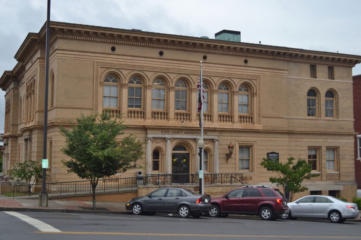
Photo: Wikipedia
Strategic Assessment of Floyd County
Workable tactical position. Some exposure to population density or targets, but generally defensible in a crisis.
What does the Strategic Assessment tell us?
Our Strategic Assessment grades tactical survivability of an area. Major population centers, military targets, fallout zones, natural disasters, and border exposure all drive risk — lower exposure means a more defensible position in a crisis.
This is heavily inspired by Joel Skousen's Strategic Relocation book. Highly recommended you checkout the book ($)What does this tell us?
Our Strategic Assessment grades tactical survivability of an area. Major population centers, military targets, fallout zones, natural disasters, and border exposure all drive risk — lower exposure means a more defensible position in a crisis.
This is heavily inspired by Joel Skousen's Strategic Relocation book. Highly recommended you checkout the book ($)Strategic Pillars

Key Distances
Strategic Assessment Analysis
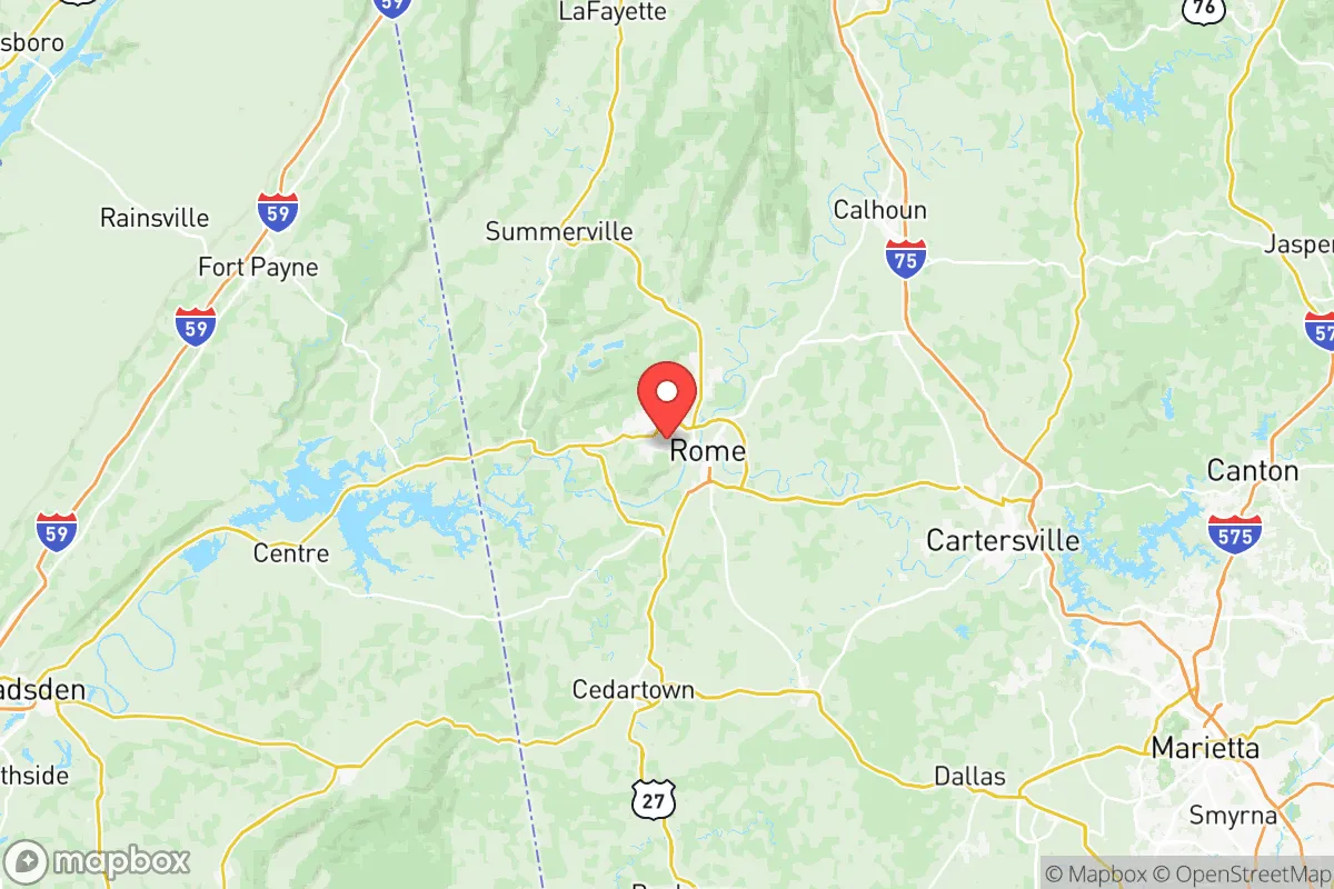
Floyd County, Georgia, anchored by the city of Rome, presents a compelling strategic profile for relocators prioritizing resilience and self-sufficiency, blending a strong geographic position with manageable exposure to major risks. Its location roughly 60 miles northwest of Atlanta and 30 miles south of the Tennessee line places it in a sweet spot: close enough to a major metro for supply runs and specialized services, yet far enough to avoid the direct fallout of a metropolitan collapse or a major industrial accident. The county’s terrain—rolling hills, the Etowah and Oostanaula rivers, and the southern edge of the Appalachian foothills—offers natural defensibility and resource access that flat, open regions lack, making it a serious contender for those thinking about long-term preparedness.
Geographic position and natural advantages for long-term security
Floyd County’s geography is its strongest card. The confluence of the Etowah and Oostanaula rivers forms the Coosa River right in Rome, providing a reliable surface water source that is rare in much of the Southeast. This water network, combined with the county’s position in the Ridge and Valley physiographic province, means varied topography with ridges, valleys, and forested areas that offer natural cover and defensible positions. The county sits at a higher elevation than the coastal plain, reducing risks from hurricanes and storm surge, and its inland location means tornadoes, while possible, are less frequent and intense than in the Plains. The surrounding national forests—particularly the Chattahoochee-Oconee National Forest to the east and the Talladega National Forest just across the Alabama line—provide a massive buffer of undeveloped land, wildlife, and timber resources. For a relocator, this means immediate access to hunting, foraging, and firewood within a short drive, a luxury not available in suburban Atlanta. The county’s position also places it near key transportation corridors: U.S. Highway 27 and State Route 53 run through Rome, and Interstate 75 is about 30 miles east, offering a balanced mix of connectivity and isolation.
Risks, exposures, and proximity to fallout-relevant landmarks
No strategic assessment is complete without a clear-eyed look at vulnerabilities. Floyd County’s primary man-made risk comes from its proximity to two major industrial and military targets: the nuclear facilities at the Watts Bar and Sequoyah plants in Tennessee, roughly 70 miles north, and the sprawling defense logistics hub at Fort Moore (formerly Fort Benning) in Columbus, about 120 miles south. While these are not immediate blast zones, they are high-value targets in a conflict scenario, and fallout patterns could affect Floyd County depending on wind direction. Closer to home, the county itself hosts a few industrial sites worth noting: the Georgia Power Plant Hammond coal-fired facility in Rome and the Mohawk Industries carpet manufacturing plants in the area. A catastrophic failure at Plant Hammond could release coal ash or toxic emissions, though the risk is lower than with nuclear or chemical facilities. Natural hazards are moderate: the county sits in a seismically quiet zone, but the region is prone to occasional ice storms and flooding along the river corridors, particularly in low-lying parts of Rome near the Coosa. The Rome flood of 2009 is a local reference point, with the Etowah and Oostanaula rivers cresting at record levels. For a relocator, the key takeaway is that Floyd County is not a zero-risk zone, but its exposure to catastrophic man-made events is significantly lower than living near Houston’s refinery corridor, the Savannah River Site, or the Norfolk naval base. The nearest major military base is Dobbins Air Reserve Base in Marietta, about 50 miles southeast, which is a secondary target at best.
Practical resilience for a relocator: food, water, energy, and defensibility
For someone serious about self-sufficiency, Floyd County offers a strong foundation. Water is the standout advantage: the Coosa River system provides a year-round, gravity-fed water source that can be tapped with a simple pump or filtration system. The county’s average annual rainfall of about 50 inches means rainwater harvesting is highly viable, and the local water table is generally high enough for shallow wells in rural areas. Food resilience is solid, with over 1,200 farms in the county according to the most recent USDA census, producing cattle, poultry, hay, and vegetables. The Rome Farmers Market operates seasonally, and local food co-ops like the Rome Food Co-op provide a network for bulk purchasing. For energy, the county is served by Georgia Power, but the terrain is suitable for small-scale solar, and wood heating is practical given the forest cover. Defensibility is where Floyd County shines: the rolling hills and narrow valleys create natural chokepoints, and the rural areas outside Rome offer properties with long sightlines and limited road access. The county’s population density is about 200 people per square mile, but that drops sharply outside the city limits, with many parcels of 5-20 acres available for under $10,000 per acre. The local government is generally property-rights-friendly, with no county-wide zoning in unincorporated areas, meaning you can build a root cellar, install a backup generator, or keep livestock without bureaucratic hurdles. The Floyd County Emergency Management Agency runs a reasonably active preparedness program, including Community Emergency Response Team (CERT) training, which is a plus for networking with like-minded neighbors.
The overall strategic picture for Floyd County is one of balanced opportunity. It is not a remote bunker location—it has a city of 37,000 people, a regional hospital (Atrium Health Floyd), and a Walmart Supercenter—but it offers the resources and geography to ride out most disruptions without being a primary target. The county’s main weakness is its reliance on the Atlanta metro for specialized goods and medical care, but that is a trade-off most relocators will accept for the water access and defensible terrain. For a family or individual looking to build a resilient lifestyle in the Southeast, Floyd County ranks as a strong, practical choice—not the most extreme, but one where the fundamentals of survival are within reach without sacrificing modern convenience entirely.

* Values derived from national, state, county, city and local statistics and may differ in a specific area. Last updated: 2026-07-03T03:04:53.000Z
Narrative content on this page is AI-generated and may contain mistakes. Verify any details that matter before acting on them.
ReloMaps may earn a commission from affiliate links at no extra cost to you.

