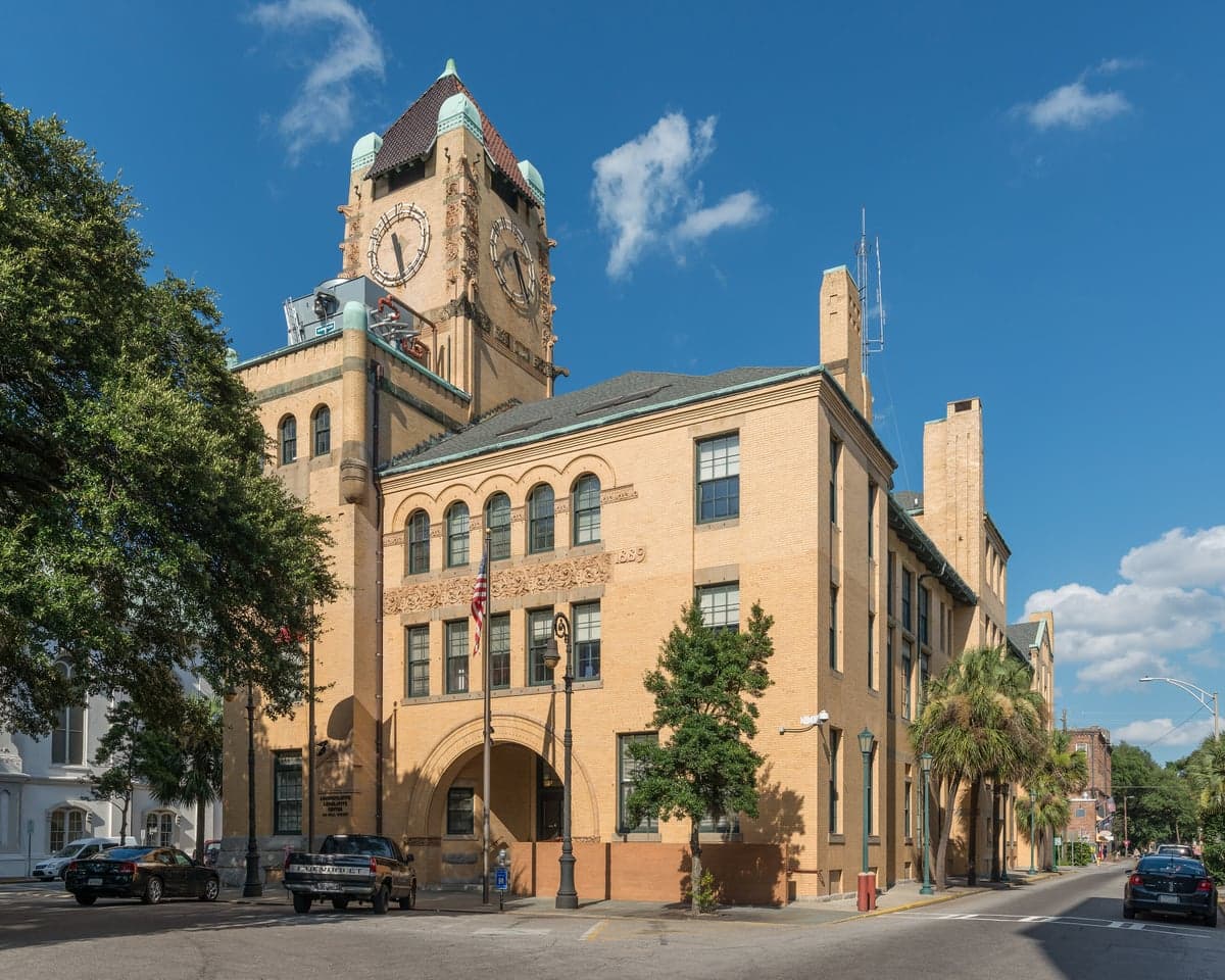
Photo: Wikipedia
Strategic Assessment of Chatham County
Meaningful friction. Expect exposure to either population pressure, blast zones, or natural disaster risk. Consider buying a retreat property.
What does the Strategic Assessment tell us?
Our Strategic Assessment grades tactical survivability of an area. Major population centers, military targets, fallout zones, natural disasters, and border exposure all drive risk — lower exposure means a more defensible position in a crisis.
This is heavily inspired by Joel Skousen's Strategic Relocation book. Highly recommended you checkout the book ($)What does this tell us?
Our Strategic Assessment grades tactical survivability of an area. Major population centers, military targets, fallout zones, natural disasters, and border exposure all drive risk — lower exposure means a more defensible position in a crisis.
This is heavily inspired by Joel Skousen's Strategic Relocation book. Highly recommended you checkout the book ($)Strategic Pillars

Key Distances
Strategic Assessment Analysis
Chatham County, anchored by Savannah, offers a distinct strategic balance for relocators weighing disaster readiness and self-sufficiency. Its coastal position provides access to deep-water shipping and the Intracoastal Waterway, yet its distance from major nearshore military or industrial targets creates a quieter risk profile than Georgia’s interior. Home to roughly 300,000 residents, the county’s resilience hinges on its ability to buffer against both natural and man-made threats while maintaining a functional, defensible footprint for families and individuals.
Geographic position and natural advantages for self-sufficiency
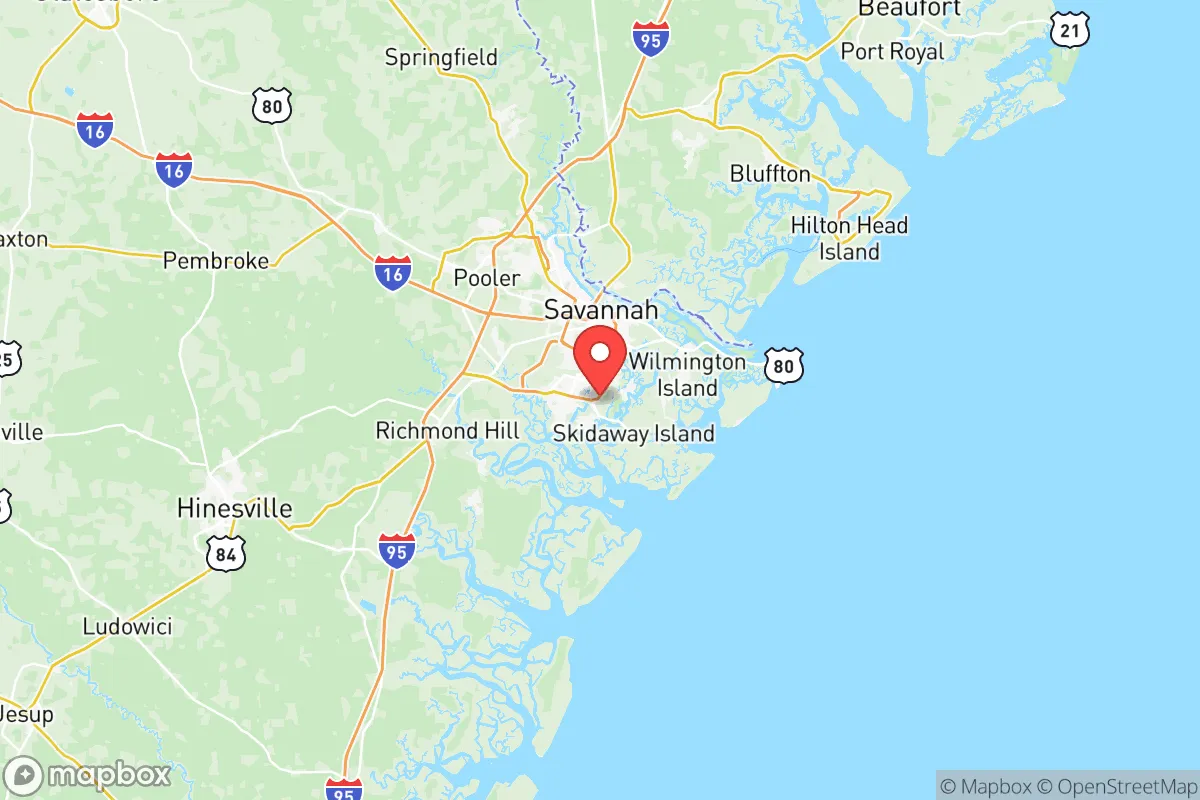
Chatham County sits at the mouth of the Savannah River, with the Atlantic Ocean roughly 15 miles east of downtown Savannah. This location gives residents direct access to the Savannah River and Intracoastal Waterway, offering both a fresh water source and a potential evacuation route by boat. The county’s topography is predominantly flat, with an average elevation of about 20 feet, which limits natural defensibility but simplifies construction of root cellars or underground storage. The Okefenokee Swamp, about 40 miles west, provides a massive natural buffer against overland threats from that direction. The region’s climate is humid subtropical, with an average of 216 sunny days per year, supporting year-round gardening and livestock rearing. The proximity to Tybee Island (roughly 18 miles east) offers a secondary coastal access point without the density of a major urban center. For those seeking a semi-rural base, Pooler, just west of Savannah, provides agricultural land and lower population density while still being within a 20-minute drive of the county’s emergency services.
Risks, exposures, and proximity to fallout-relevant landmarks
Chatham County is not a primary target for major industrial or military infrastructure, but its location carries specific exposures. The Savannah River Site, a nuclear weapons facility near Aiken, SC, sits roughly 70 miles northwest—within a 100-mile radius that could see fallout in a major event. The Port of Savannah, one of the busiest container ports on the East Coast, lies within the county, handling about 4.5 million twenty-foot-equivalent units (TEUs) annually. This makes it a potential chokepoint for national supply chains, but its concentration of cargo rather than military assets lowers its direct target value. The Fort Stewart Army base, about 40 miles southwest in Liberty County, introduces military traffic and potential logistical disruptions during exercises or deployments. Natural risks are more immediate: Category 3 or higher hurricanes have a historical return interval of roughly 10-15 years, with storm surge risks along the coast. The county’s flat terrain and 20-inch annual precipitation increase flood risk, particularly in low-lying areas near the Savannah River. For a relocator, these risks translate into a need for robust water management and a plan for temporary evacuation during hurricane season, rather than a constant threat of fallout.
Practical resilience for a relocator: food, water, energy, and defensibility
Chatham County offers a mix of self-sufficiency assets and dependencies that demand careful planning. Food production is viable: the county has about 15,000 acres of farmland (USDA data), with crops like corn, soybeans, and hay thriving. The Savannah River and numerous creeks provide recreational fishing for species like catfish and bass, while oak and pine forests support foraging and hunting. Water access is a strong point—the aquifer beneath the county is part of the Floridan Aquifer System, one of the most productive in the U.S., but well drilling requires permits and depths of 100-200 feet. Municipal water from the Savannah River and surface reservoirs is treated, but a backup well or rainwater catchment (average 50 inches of rain per year) is advisable. Energy relies on Georgia Power’s grid, with natural gas and coal plants in the region; the Plant Vogtle nuclear facility (roughly 80 miles northwest) is a nearby power source but also a secondary risk due to its federal significance. Solar potential is good, with about 4.5 peak sun hours per day, making off-grid panels feasible. Defensibility is limited by the flat terrain, but the county’s many small waterways—like the Wilmington River and Little Ogeechee River—create natural barriers for a small group. Property in Pooler or Bloomingdale (northwest corner) offers more space and seclusion than the dense streets of Savannah proper, which has a residential density of roughly 1,000 people per square mile in its core. Relocators should prioritize land with access to a natural water source and a defensible perimeter, such as a creek or marsh.
Overall, Chatham County presents a moderate-risk, moderate-reward profile for the strategic relocator. Its coastal location and agricultural potential support long-term self-sufficiency, but its exposure to hurricanes and proximity to the Savannah River Site require proactive mitigation—flood-proofing, a stored water supply, and a pre-planned evacuation route. The county’s 8% unemployment rate (Georgia Department of Labor, 2025 data) suggests a solid labor base for essential trades, while the Savannah River offers a transportation lifeline that keeps the area connected but not overly exposed. For families and individuals who want a buffer from metro Atlanta’s congestion and the Gulf Coast’s hurricane intensity, Chatham County is a defensible choice—as long as you respect the water horizons and plan for the seasons.

* Values derived from national, state, county, city and local statistics and may differ in a specific area. Last updated: 2026-06-29T01:31:10.000Z
Narrative content on this page is AI-generated and may contain mistakes. Verify any details that matter before acting on them.
ReloMaps may earn a commission from affiliate links at no extra cost to you.

